Antarctica – a very brief history of discovery.
The idea of Terra Australis begins with the Greeks. Pythagoras in the sixth century BC and Aristotle in the fourth century BC, argue that the earth is a sphere. Greek geographers feelings for symmetry lead to the concept of a southern landmass. Flat earth orthodoxy holds forth until the voyages of discovery during the sixtheenth century.
Timeline:
1501 Florentine Seaman, Amerigo Vespucci sails the South American coastline as far as 50deg.S and may have reached South Georgia.
1519 Magellan leaves Spain with instructions to sail south and find a western sea route to the Indies. He found a narrow strait which he named the Magellan Straits, and passed through to the Pacific Ocean. To the south was Tierra del Fuego and thought to be the northern edge of the long sought after southern continent. Magellan continues westward, and is killed in the Philippines, but one of his ships completes the circumnavigation of the globe.
1578 Francis Drake in the Golden Hind sails through Magellan Strait and is blown far south and names Drakes Passage and proves there is no land to be seen south of Tierra del Fuego.
1592 English explorer John Davis discovers the Falkland Islands.
1616 Willem Schouten and Jacob le Maire discover Cape Horn and are the first sailors to round the tip Cape Horn.
1773 Captain James Cook and crews of Resolution and Adventure became the first men to cross the Antarctic Circle. Cook on his second voyage of discovery was ordered to keep as far south as possible, but he failed to find land and so dismiss the myth of a southern continent. Cook writes: ‘a strong gail attended by a thick fog, sleet and snow, which froze to the rigging as it fell and decorated the whole ship with icicles. Our ropes were like wire, our sails like plates of metal and the sheaves froze fast in the blocks……I have never seen so much ice’. Cook reached 71deg. S, travelled 18,000 miles through unknown southern seas without sighting land. Cook returned again in 1775 on his 3rd voyage covering 62,000 miles of discovery.
Jan 1820 The Russian explorer, Admiral Bellingshausen, sent by the Czar on a voyage of exploration in the southern ocean, was the first person to sight land on the continent. He also circumnavigated the continent further south than Cook.
Feb 1831 John Bisco a sealer sights the cliffs of Enderby Land – the first sighting of land in the Indian sector.
Jan 1840 Charles Wilkes sailed through pack ice for 1250 miles along the coast now known as Wilkes Land and sighted land on several occasions and confirms that Antarctica is indeed a continent.
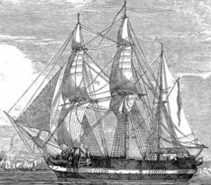
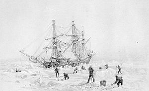
Jan 1841 Sir James Ross with two ships Erebus and Terror became the first to penetrate the Antarctic pack ice. He enters and names the Ross Sea and discovers Ross Island and the huge cliffs of the Ross Ice Shelf. He returns to Hobart but sails south again the following summer to trace the ice shelf further east and reaching 78deg. S, a record that would stand until 1900.
1881 Sealers and whalers have been working the Antarctic and Sub Antarctic Islands for more than 100 years during this era of discovery. The first regulations were introduced by the British in 1881 to control the industry as the numbers of seal were depleting.
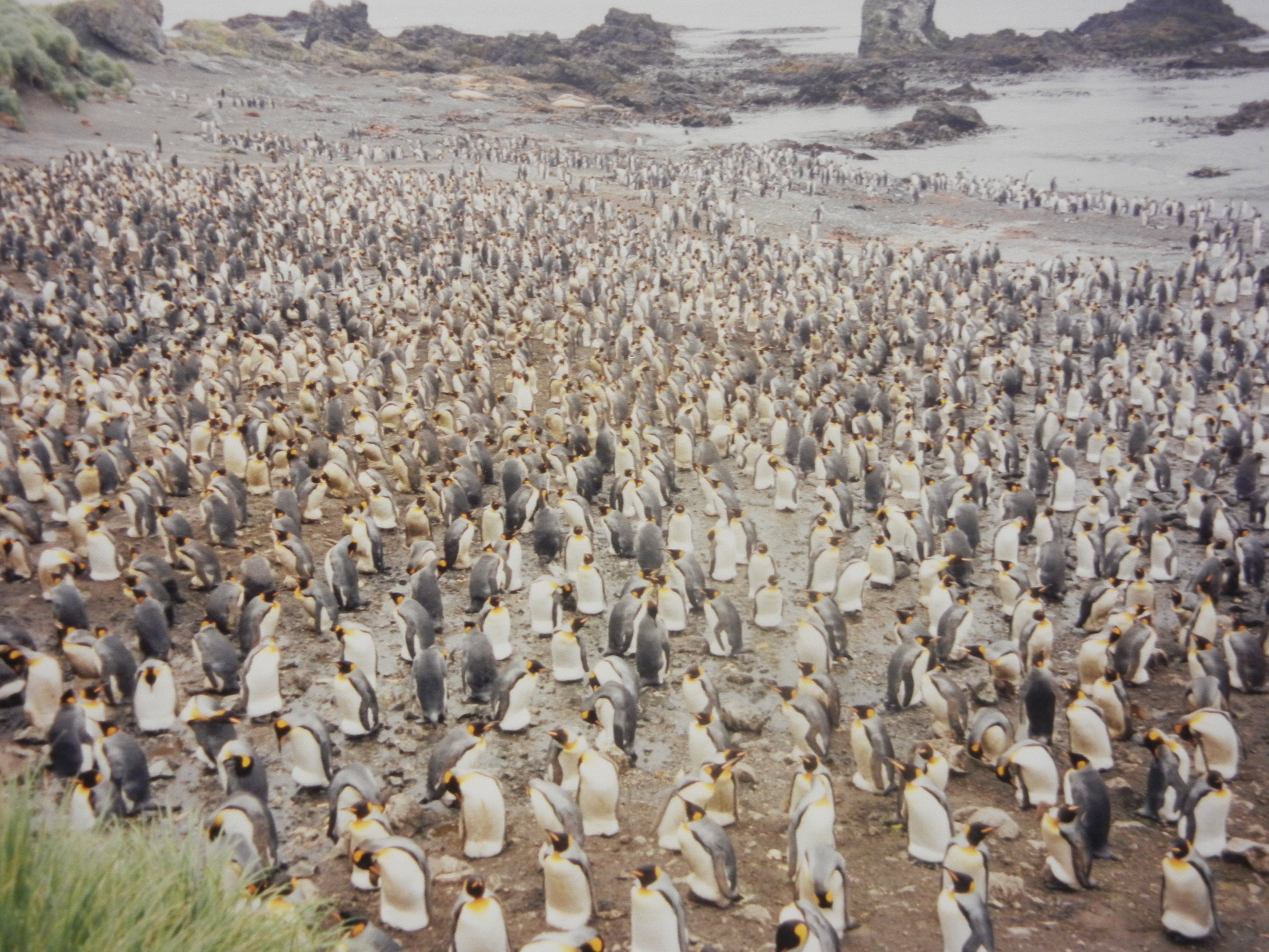
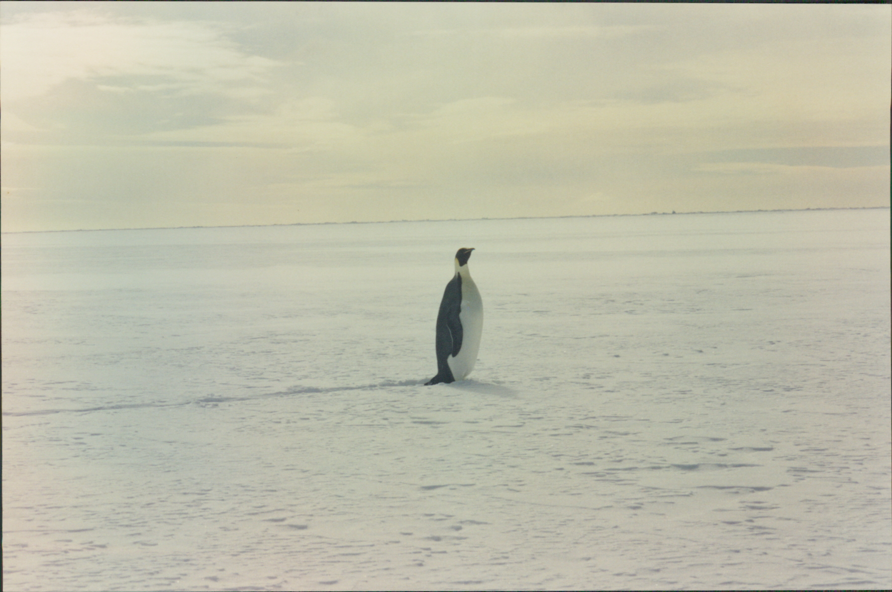
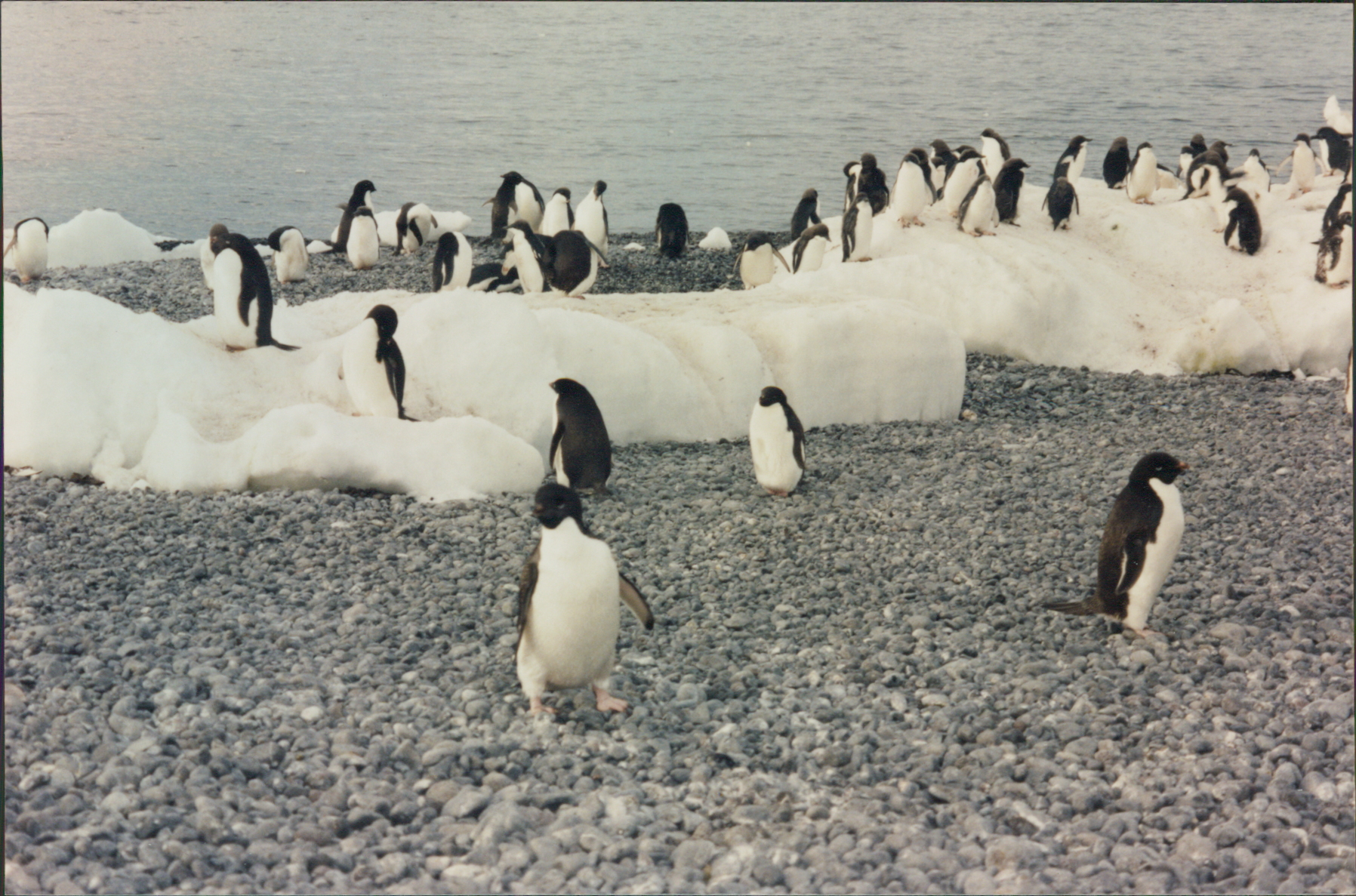
1895 Henryk Bull, a whaler, is credited with being the first to land on Antarctica at midnight ‘on a pebbly beach of easy access’ at Cape Adare in the Ross Sea. (Frances and I also landed on this beach on 29th January 1998 while on our previous trip to the Ross Sea). There is a colony here of over 1,000,000 Adelie Penguins. This was also the sight of the first over-wintering expedition led by Carsten Borchgrevink on the Southern Cross in 1899.
And so it all began. Discovery and exploration of the Antarctic Continent was ahead. Names like Scott, Wilson, Shackleton, Frank Wild, Douglas Mawson, Amundsen, Lars Christensen, and Sir Edmund Hillary and many others and nations have ventured south and contributed in no small way to progress and discovery on the continent. Many bases and research facilities now exist and about 1000 people overwinter in Antarctica each year.
Tourism began in the 1960’s with an annual luxury cruise out of New York. Qantas began one day excursions in 1977. An Air NZ DC10 crashed into Mt Erebus in 1979 due to an error in programming of the navigational equipment.
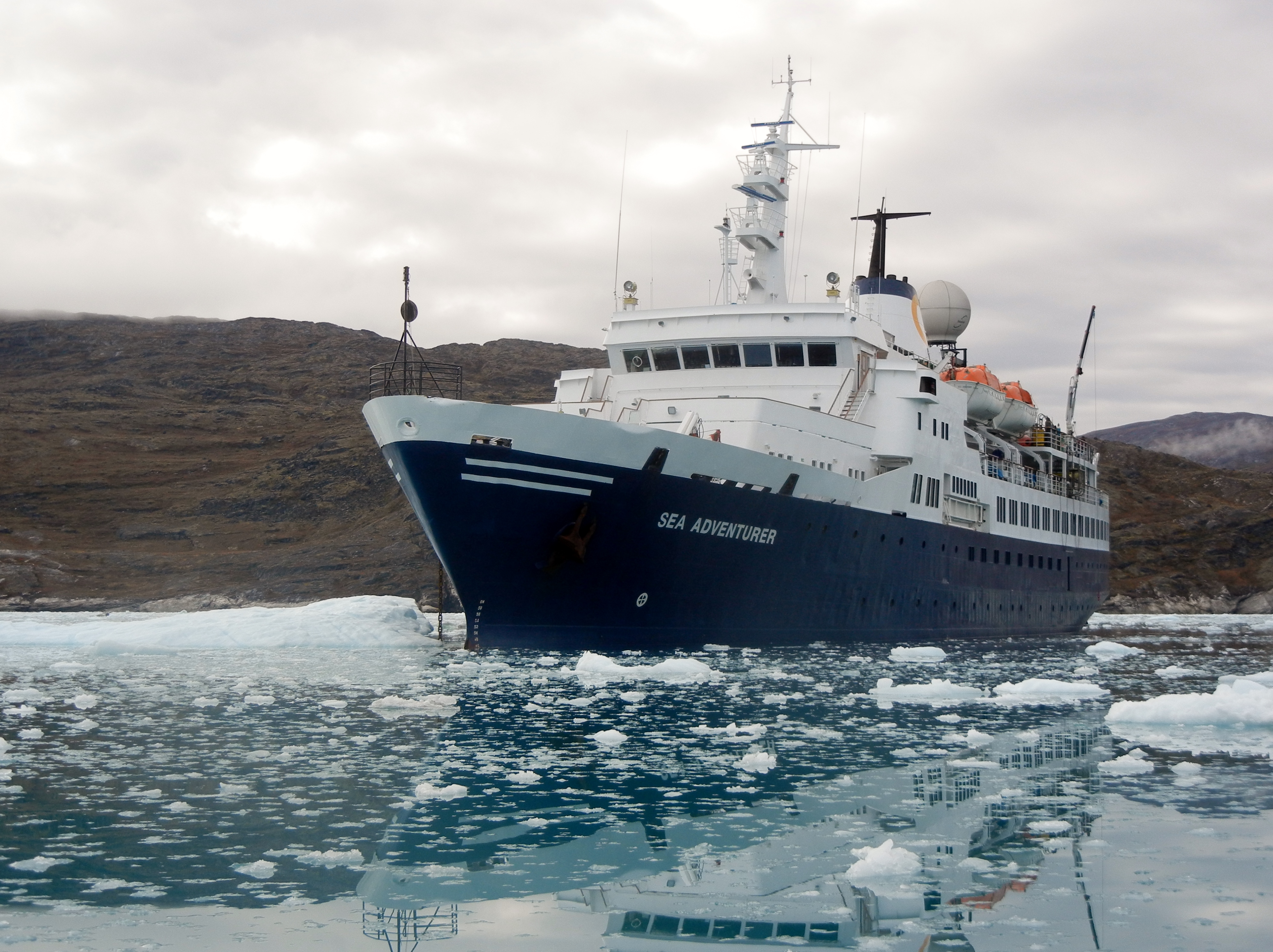
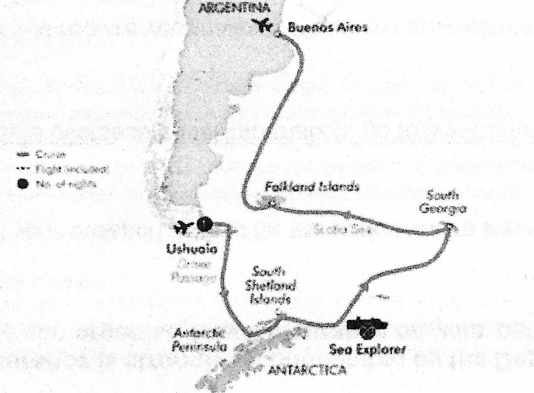
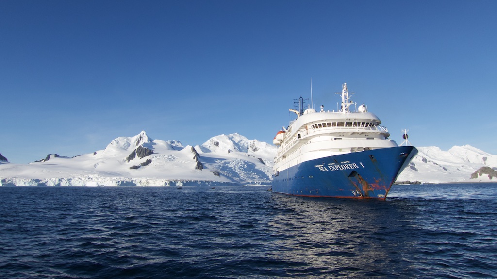
Frances and I will be traveling to the Antarctic Peninsula in February 2016 onboard the ‘Sea Explorer’ for a 22 day cruise to Antarctica, the South Shetland Islands, South Georgia and the Falkland Islands. We leave from Ushuaia in southern Argentina and we berth in Buenos Aires.
Buenos Aires
We fly via Sydney to Santiago, Chile, and onto Buenos Aires, Argentina, where we spend two nights.
After 16 hours flying and another 4 hours waiting in airport lounges
in Sydney and Santiago, we arrive in the city of Buenos Aires (BA). BA has a population of 3 million and a climate similar to Brisbane. It is said that BA is the Paris of Argentina. The architecture does have a European influence.
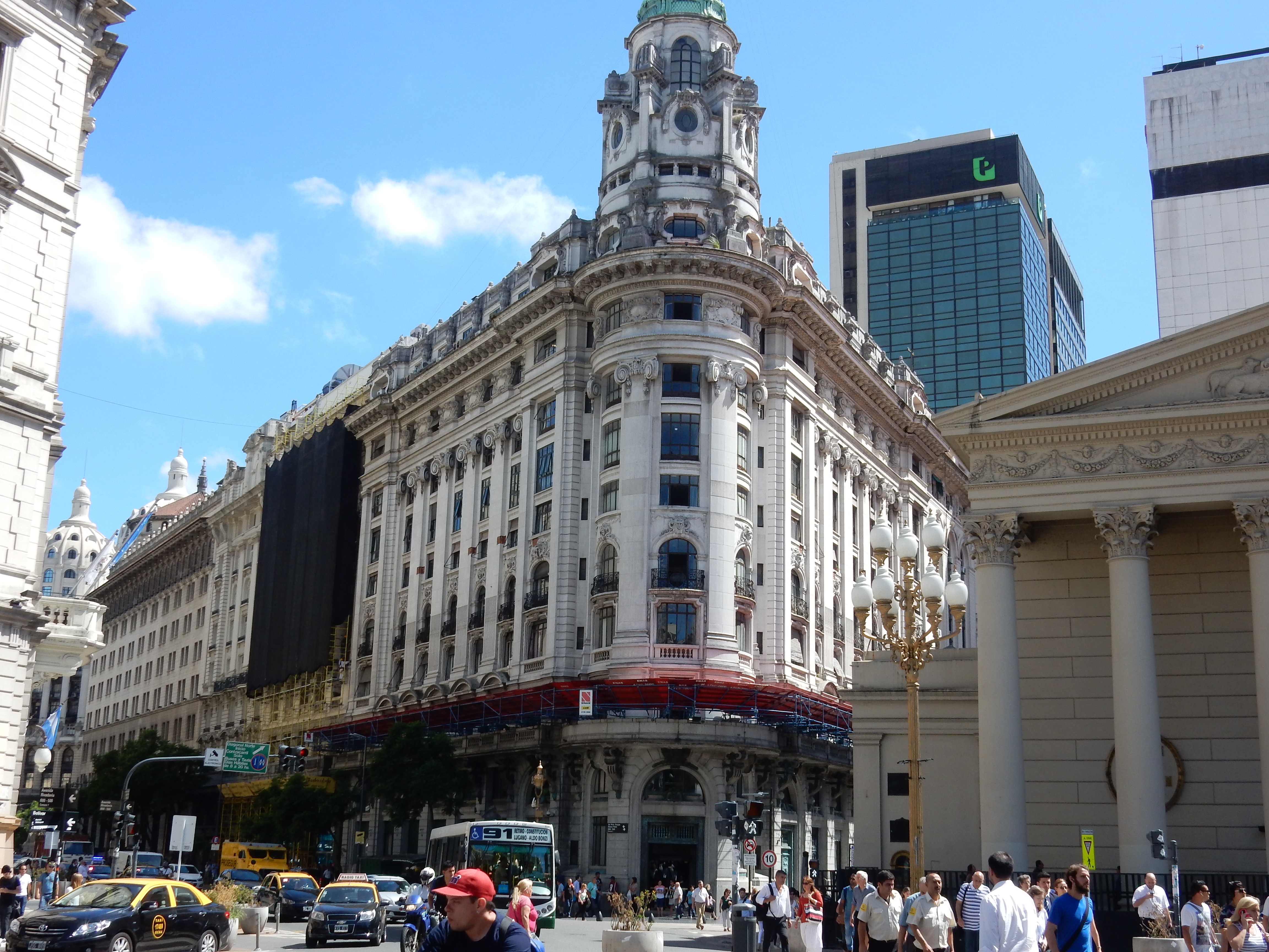
Lonely Planet describes BA as, “Sexy, alive and supremely confident, this beautiful city gets under your skin. Like Europe with a melancholic twist, Buenos Aires is unforgettable.”
And the Nightlife:
“Take a cat nap, down your coffee and be prepared to stay up all night – this is a city that never sleeps! Restaurants open at 9pm, bars at midnight and clubs at 2am – at the very earliest. If you’re cool, of course, you’ll show up after 4am and dance till dawn.
International DJs are all the rage, spinning electronica to legions of hip, trendy and well-dressed crowds. But you can also enjoy live music such as rock, blues, jazz and even folk – just remember that you’ll be doing it all very late!”
Buenos Aires is a shopper’s paradise. The city is laced with shopping streets lined with heaps of clothing and shoe stores, leather shops and nearly everything else you can think of. Large shopping malls are modern and family-friendly, offering designer goods, food courts and children’s playgrounds.
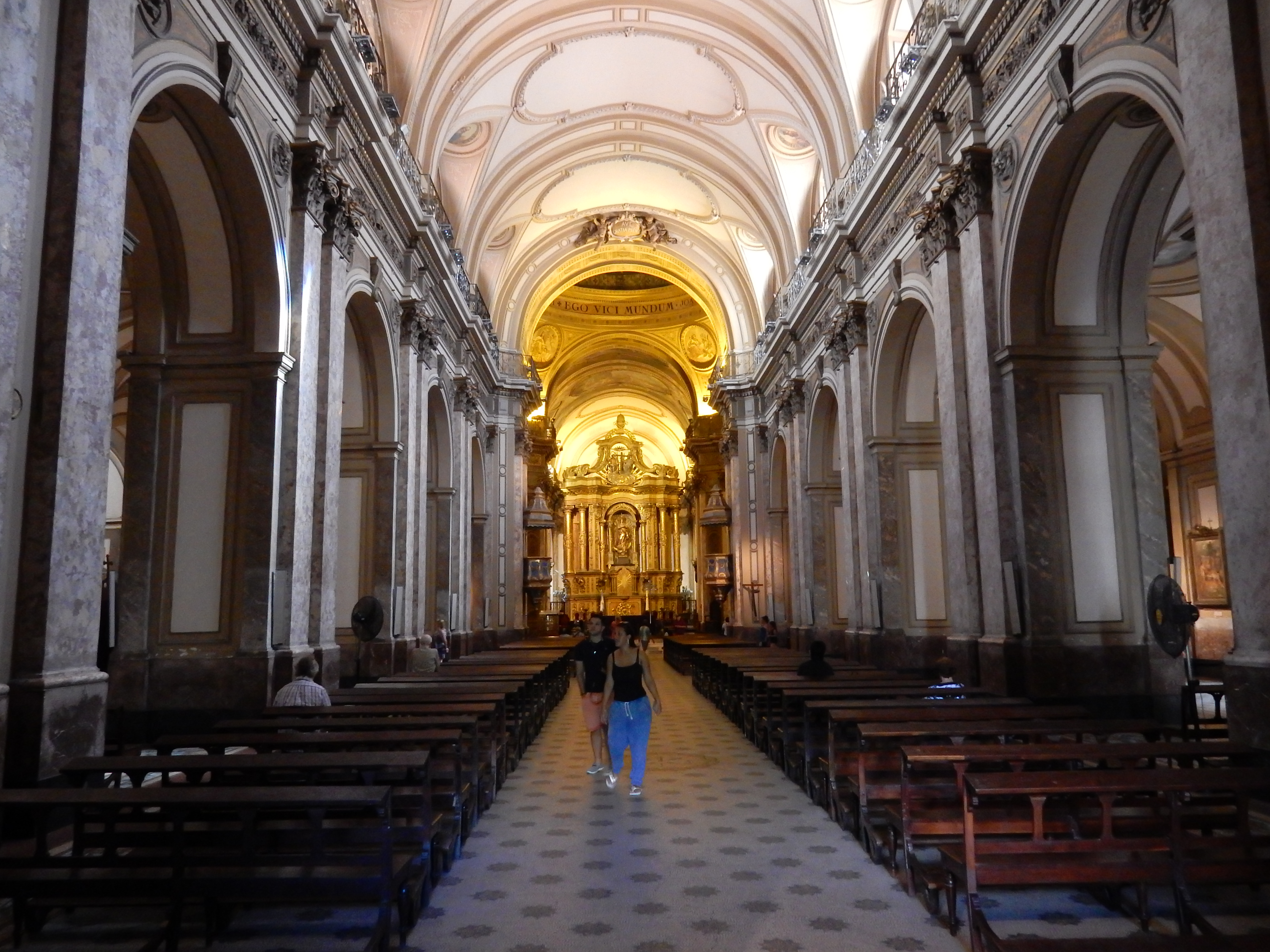
We visit the Plaza de Mayo – Argentina’s Most Famous. The Plaza de Mayo is as fundamental to Argentine political history as
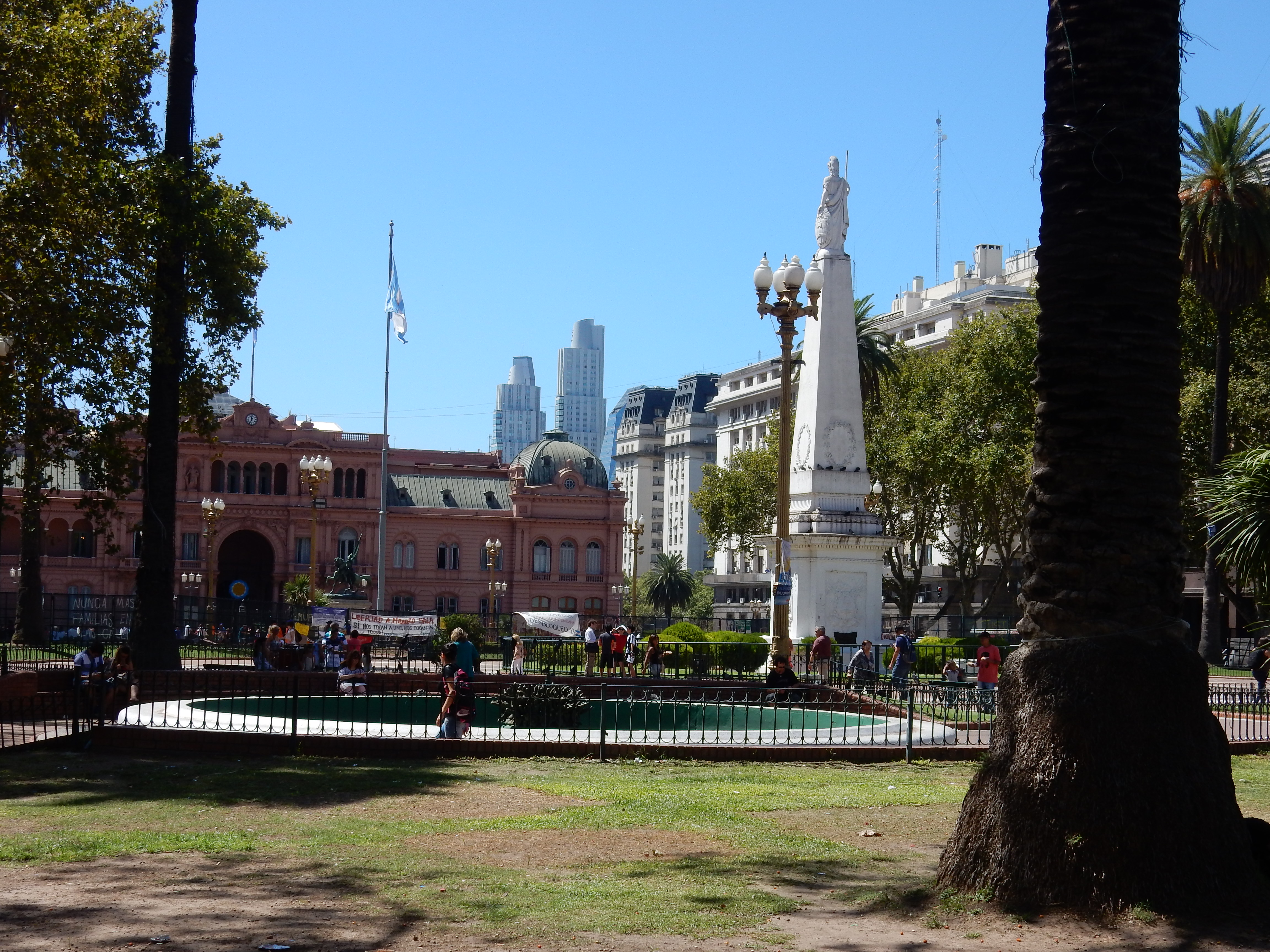
Argentinians and homesick immigrants are to the Tango. The square is a political hub, financial and administrative center and throughout history has been a symbol of disaster, rebellion and hope. Among the three important historic buildings on the plaza, are the Cabildo, the former seat of the Colonial government. We walk through the Buenos Aires Metropolitan Cathedral — now famous as Pope Francis’ former parish, and the government house, the Casa Rosada sitting at the edge of Plaza de Mayo.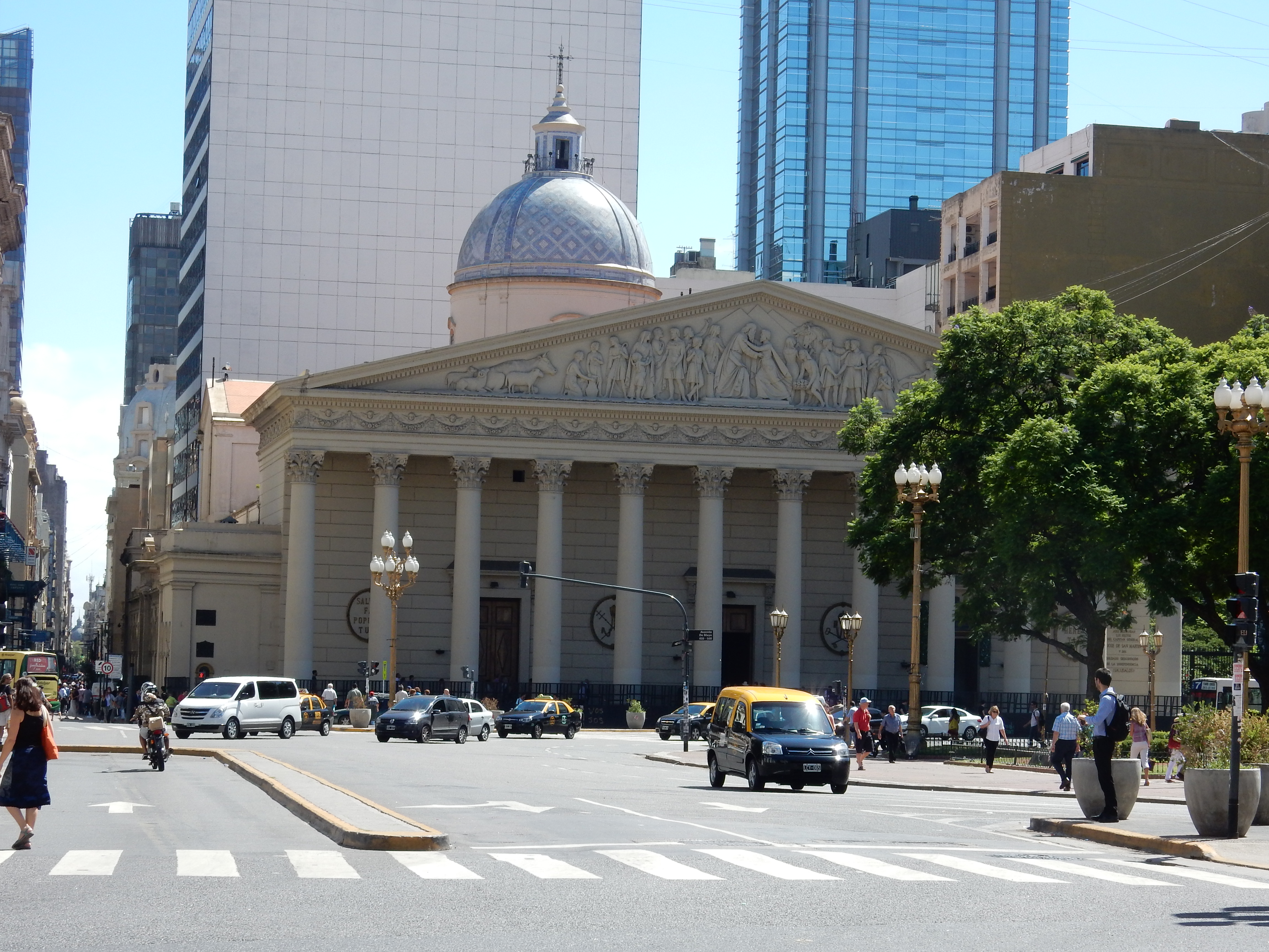
The Casa Rosada is one of the most iconic buildings in Buenos Aires. With its pink facade and palace-like design, the governmental house has served as the backdrop to countless numbers of protests, famous speeches and significant moments in Argentina’s history.
All the above is very good and safe to navigate. However move into suburbia and its a different story with poor housing and services and a high police presence. Every one is pleasant and helpful though. We enjoyed our stay.
You can also visit-
Gaucho Day trip: Santa Susana Ranch
Take in a Tango show.
Parrillas (steak houses) are every where. Argentinians love their steak. But all the worlds foods are also available in the many restaurants.
And – Don’t Cry For Me Argentina.
Ushuaia
Then we fly south to revisit (we were here September 2007),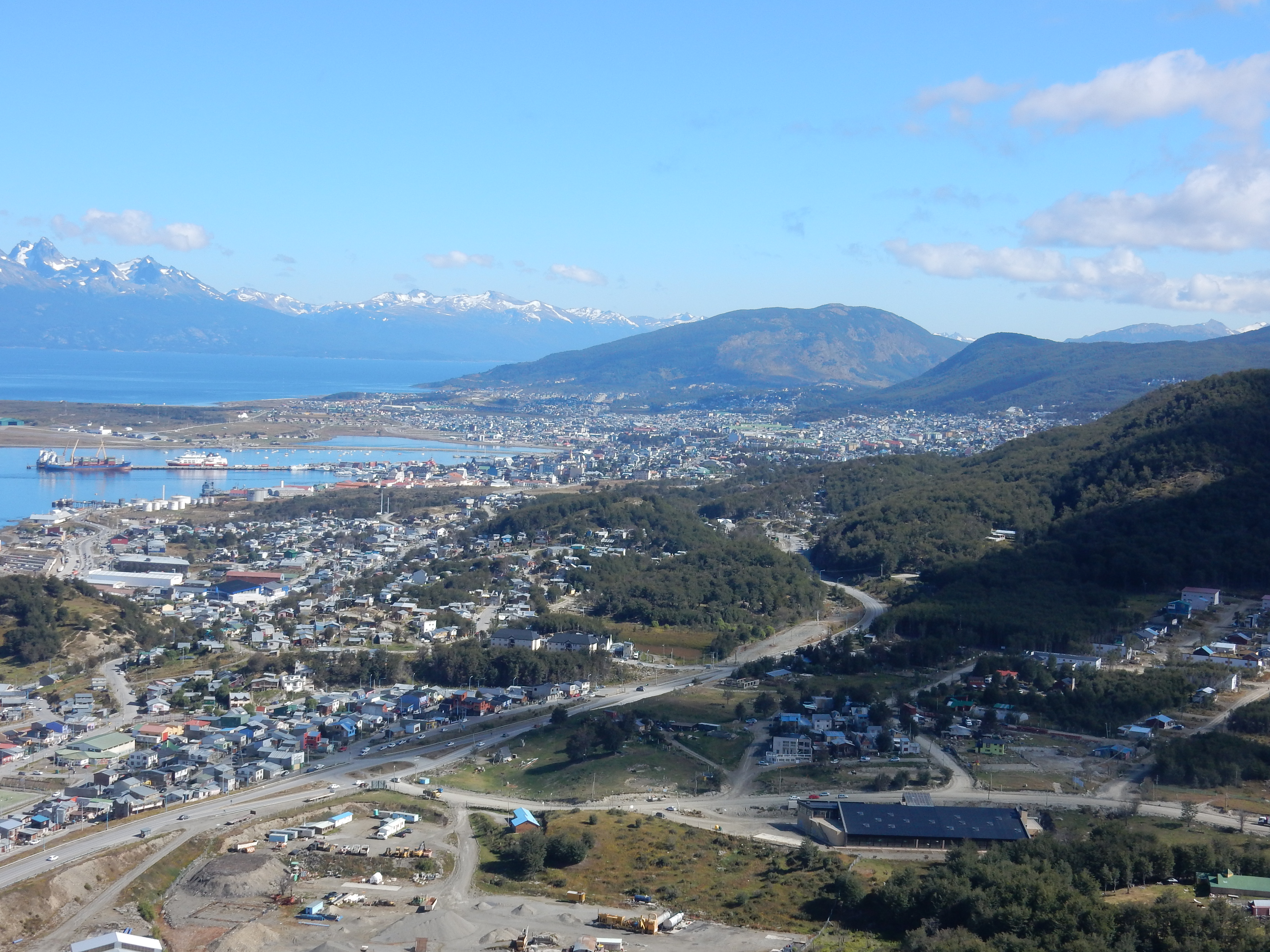
Ushuaia, known to many as the world’s most southerly City (about 55deg S), Ushuaia is on the Island of Tierra del Fuego, Argentina. It has a population of 60,000 people and is one of the fastest growing cities of the world. Apart from tourism there is a naval establishment and a rapidly expanding electronics industry.
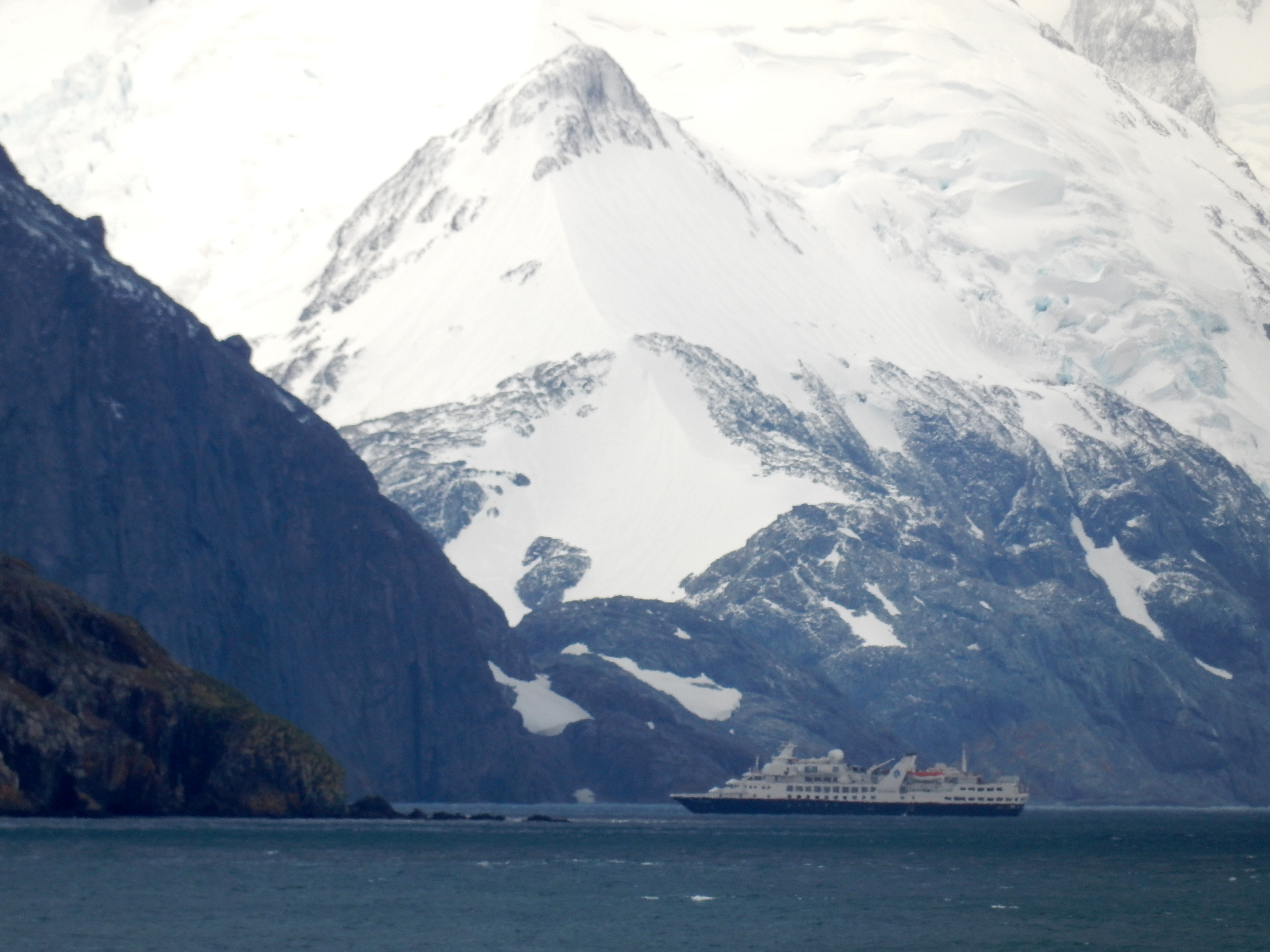
We will stay in this spectacular place
for two nights before boarding the ‘Sea Explorer’ and sailing via the Antarctic Peninsular to the Falkland Islands, South Georgia and South Shetlands and sailing on to Buenos Aires for disembarkation, and back home.
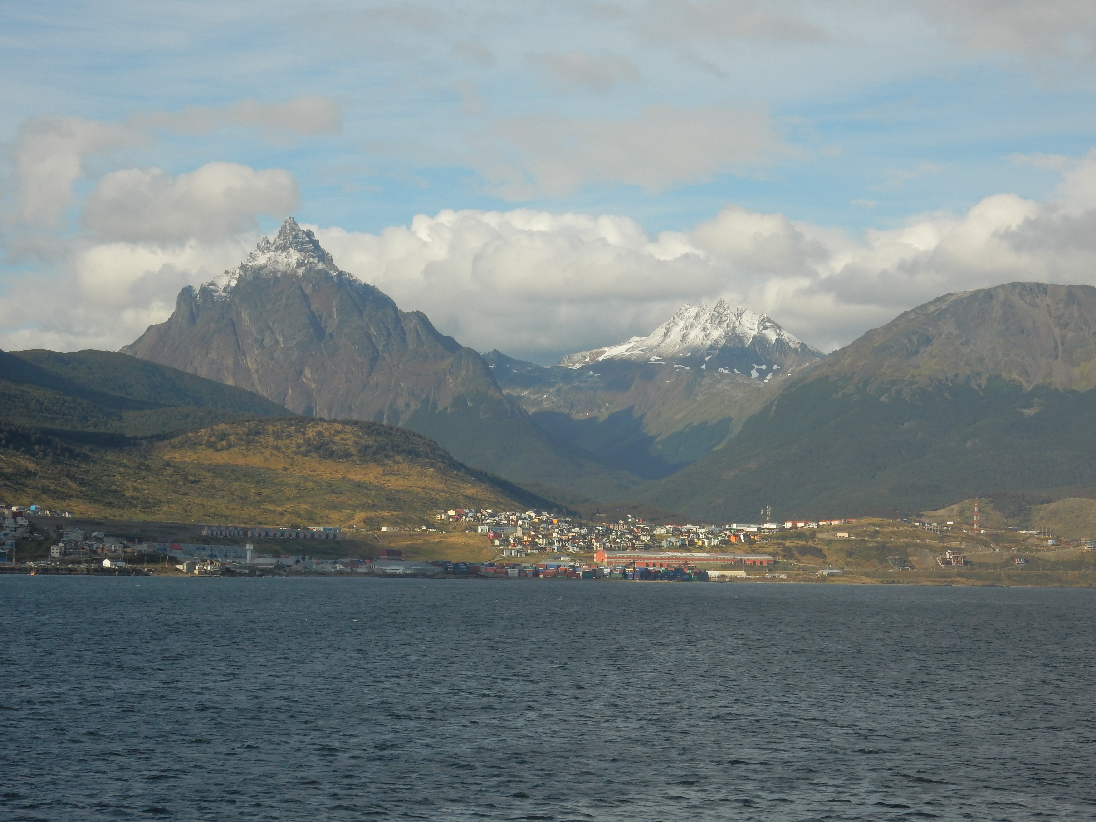
Ushuaia is a resort town on Argentina’s Tierra del Fuego archipelago, the southernmost tip of South America, nicknamed the “End of the World.” The windswept town, perched on a steep hill, is surrounded by the Martial Mountains and the Beagle Channel. It’s the gateway to Antarctic cruises and nearby winter sports.
At 54deg.48’S. Ushuaia has what is called a sub polar oceanic climate.
Temperatures at the Ushuaia – International Airport average 1.3 °C in the coolest month (July), and 9.6 °C in the warmest month (January). Ushuaia receives an average of 3.93 hours of sunshine per day. We have two days here so we rug up and explore this busy and picturesque place.
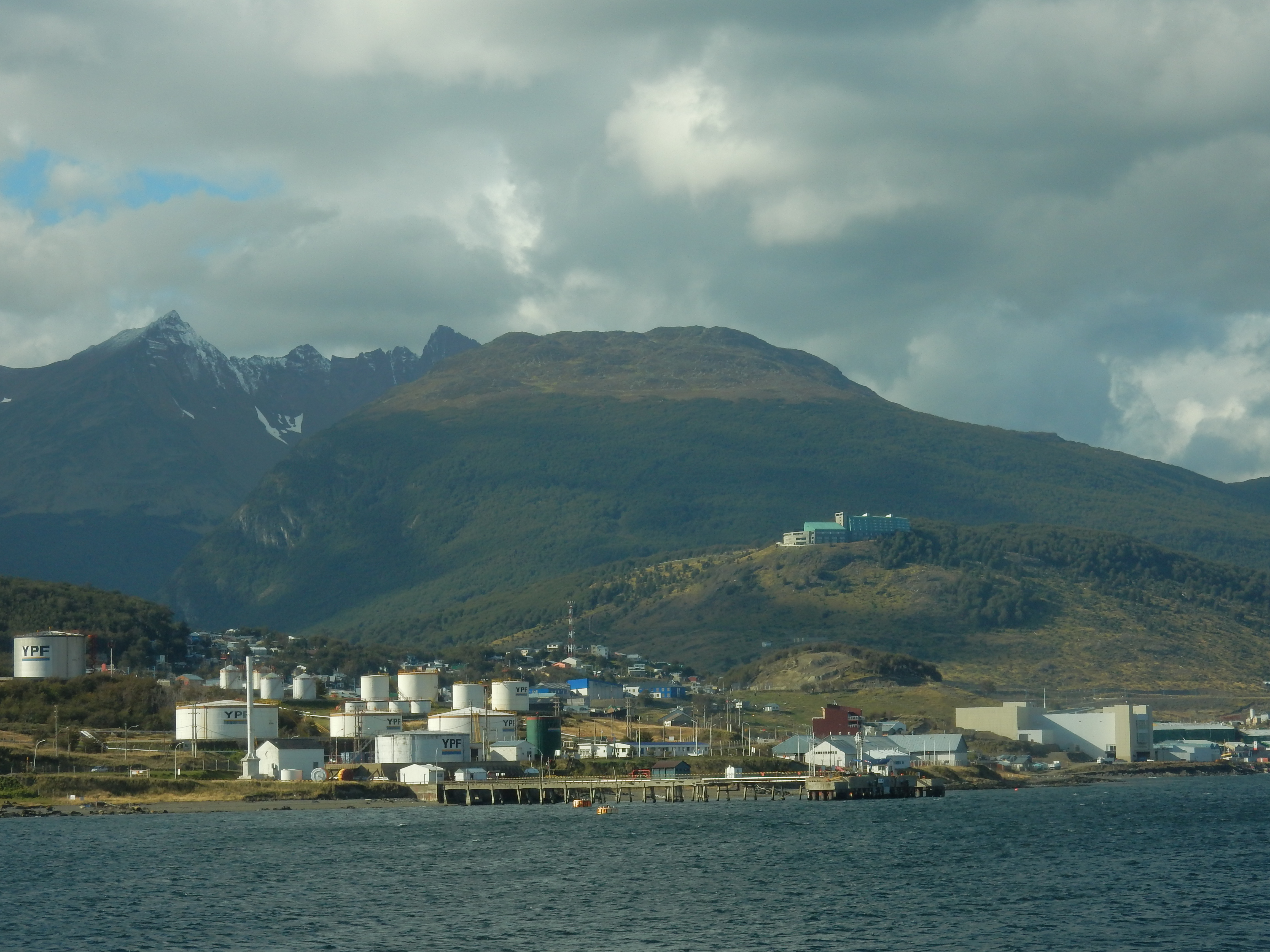
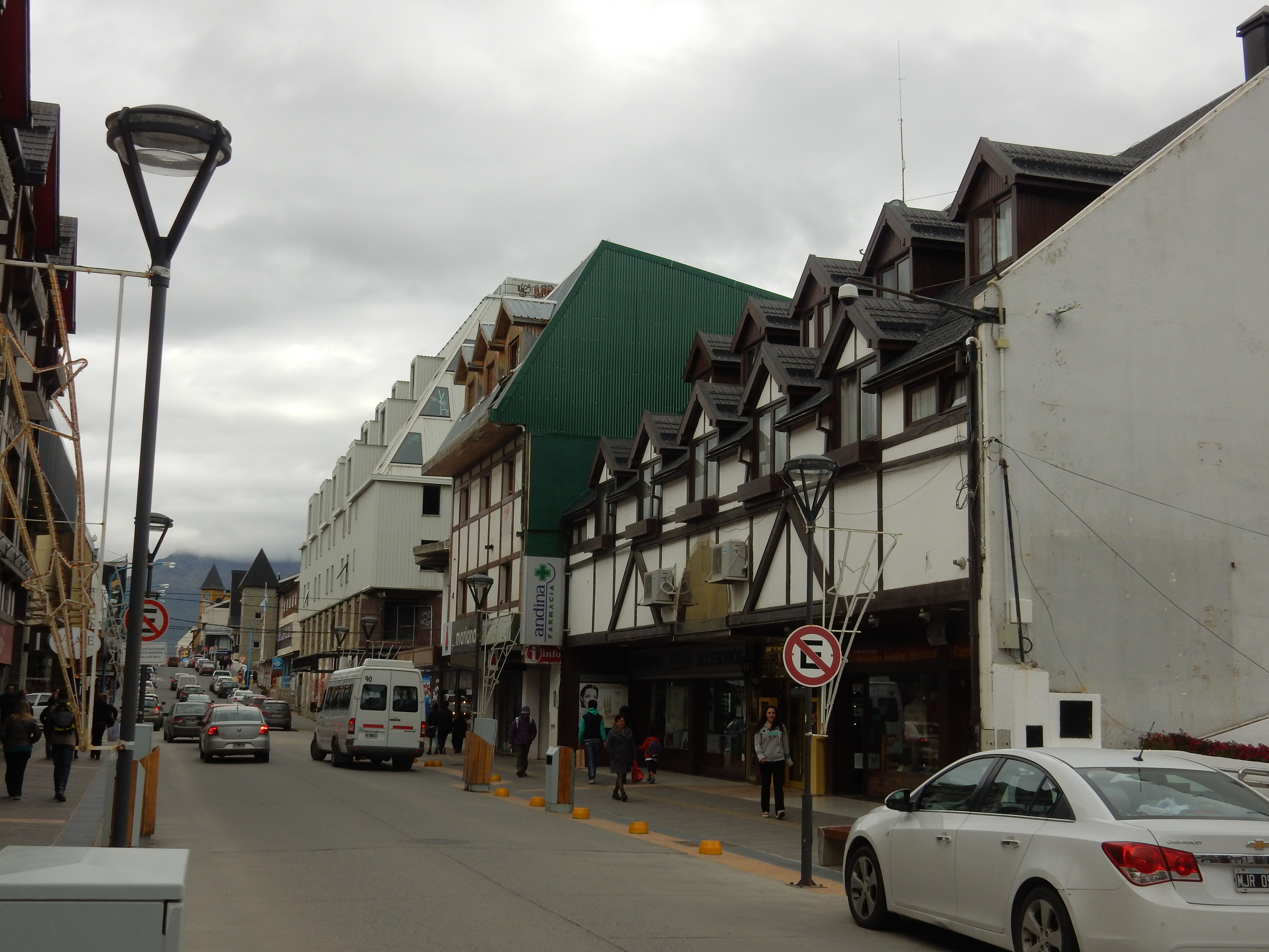
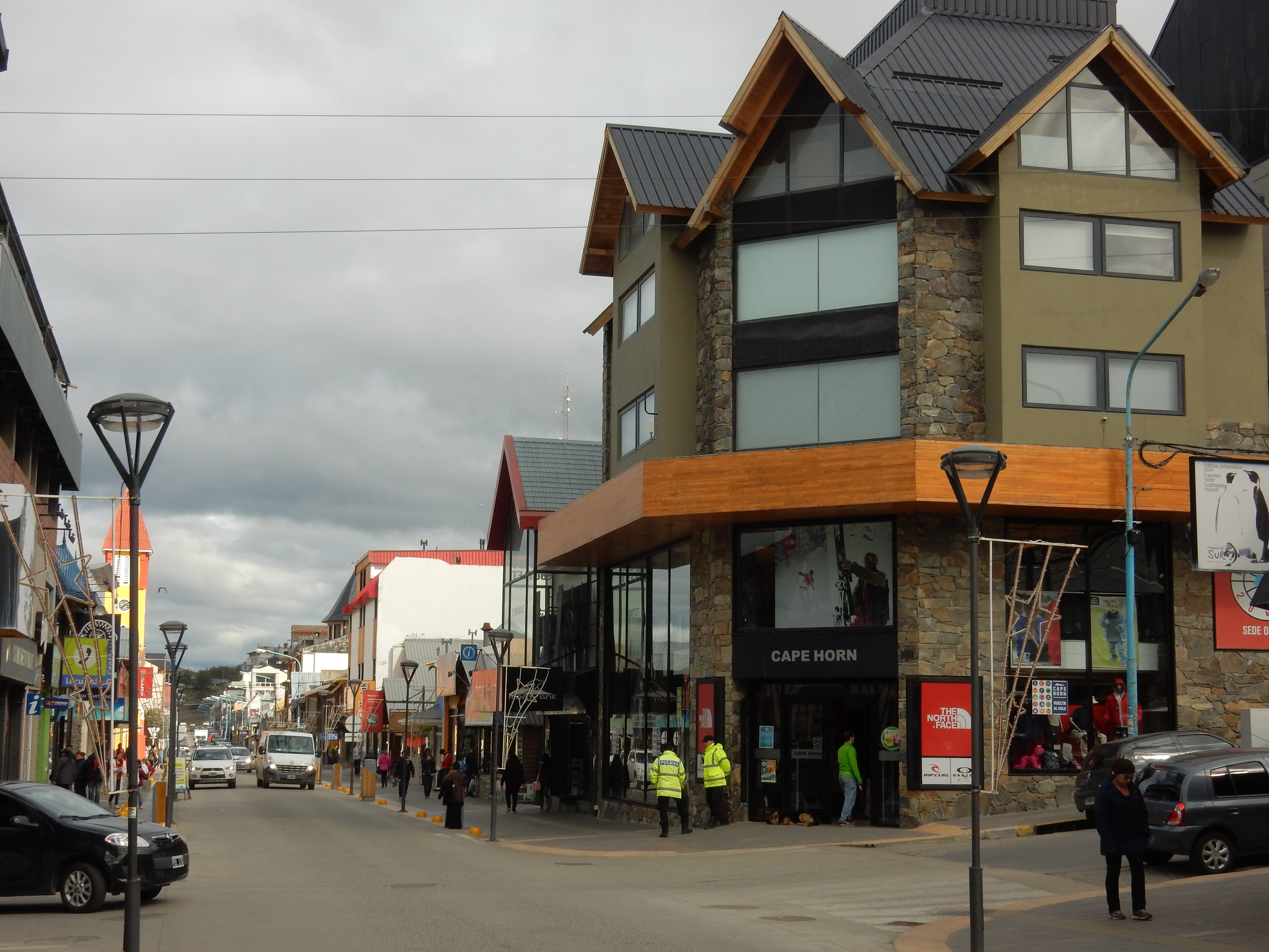
A busy port and adventure hub, Ushuaia is a sliver of steep streets and jumbled buildings below the snow capped Martial Range. Here the Andes meet the southern ocean in a sharp skid, making way for the city before reaching a sea of lapping currents.
It’s a location matched by few, and chest-beating Ushuaia takes full advantage of its end-of-the-world status as an increasing number of Antarctic-bound vessels call in to port. Its endless mercantile hustle knows no irony: the souvenir shop named for Jimmy Button (a native kidnapped for show in England), the ski center named for a destructive invasive species… You get the idea.
That said, with a pint of the world’s southernmost micro brew
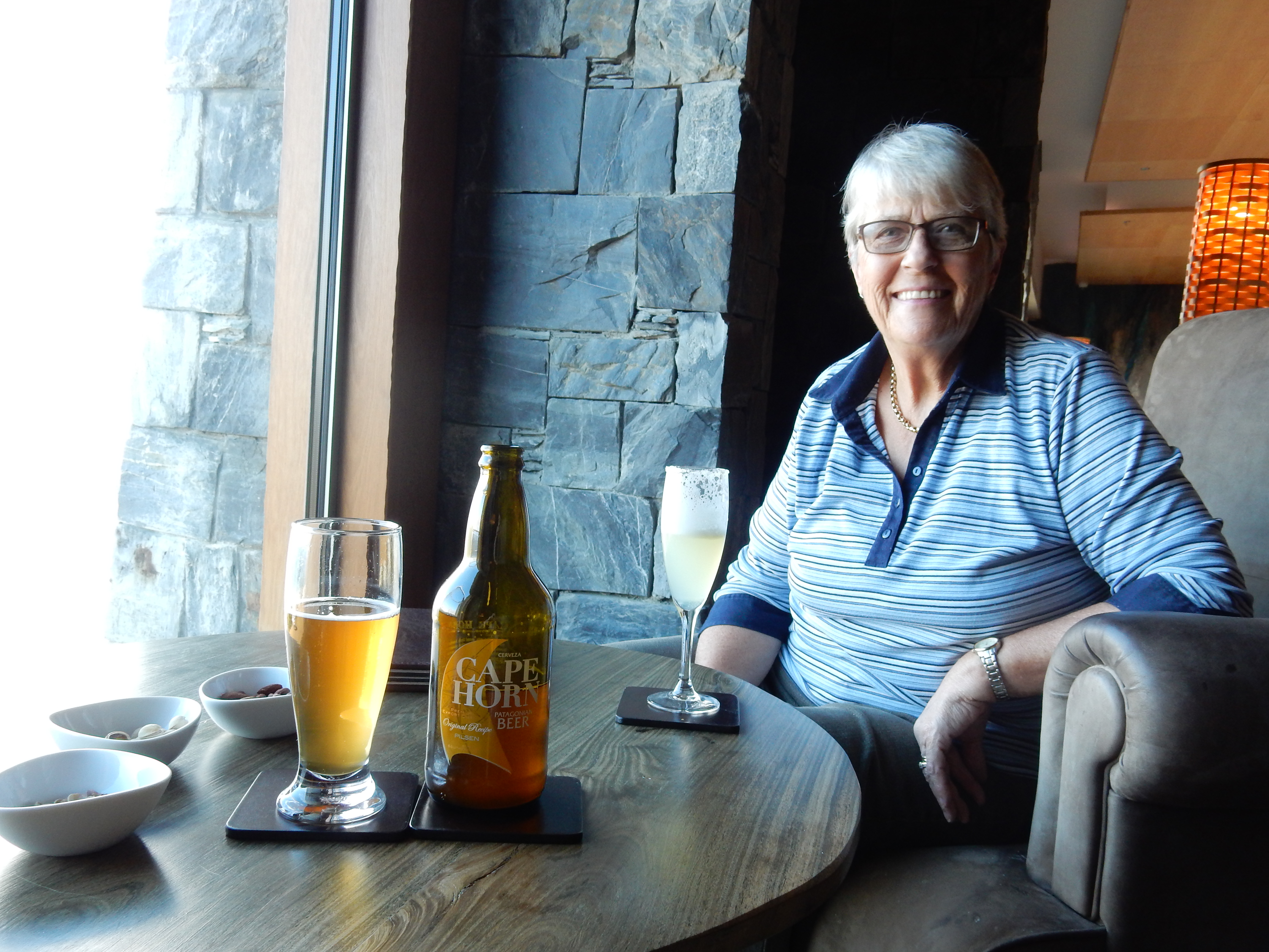
in hand, you can happily plot the dazzling outdoor options: hiking, sailing, skiing, kayaking and even scuba diving are just minutes from town. Tierra del Fuego’s comparatively high wages draw Argentinians from all over to resettle here.
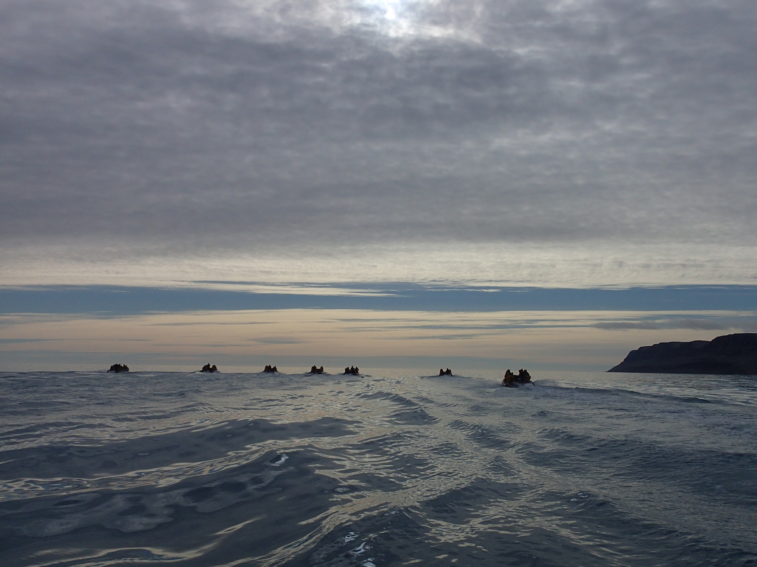
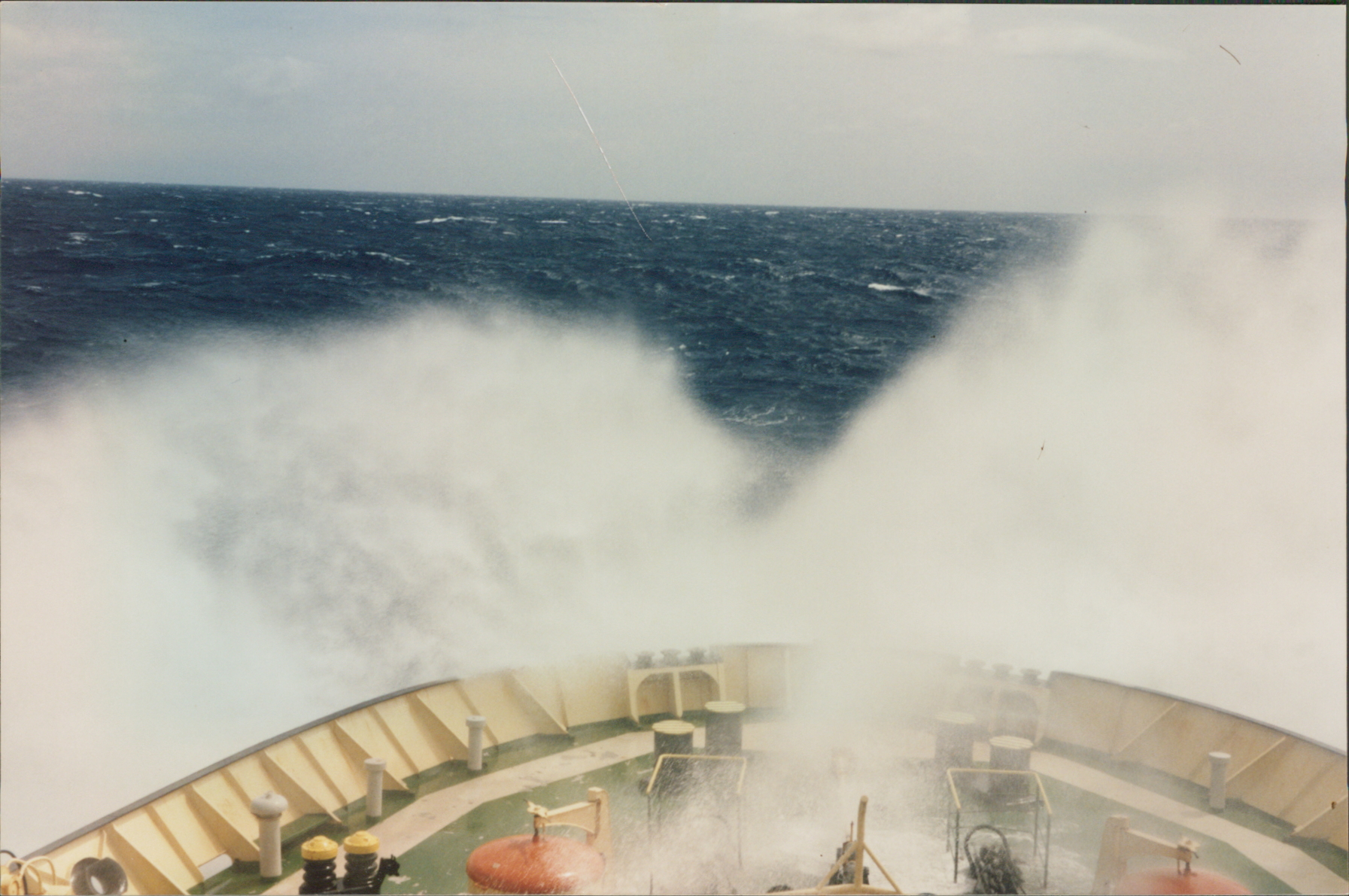
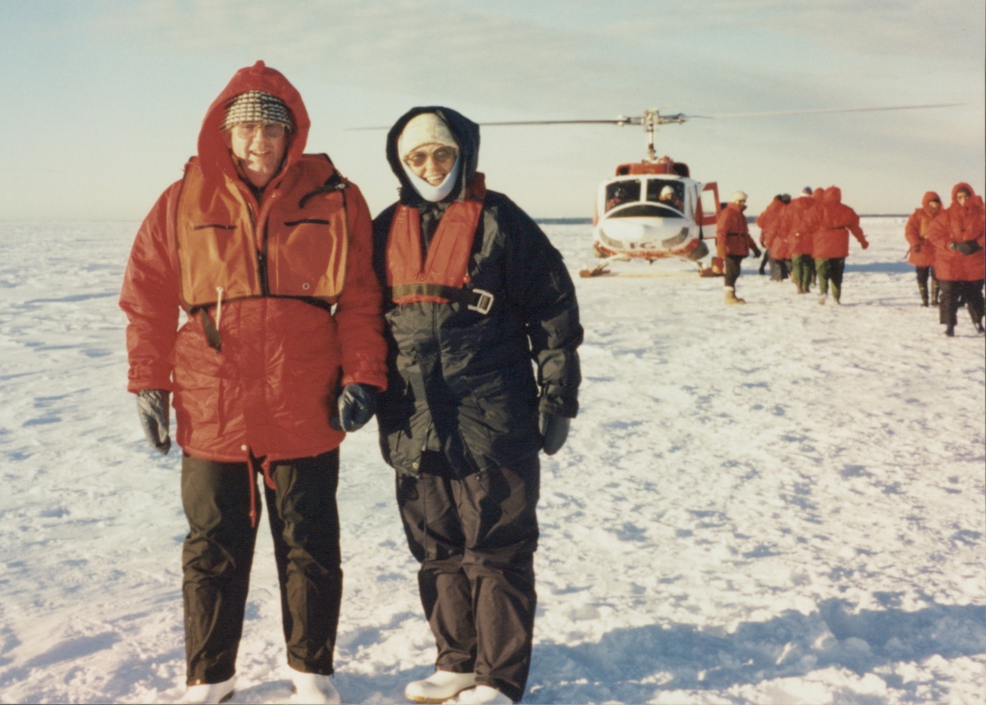
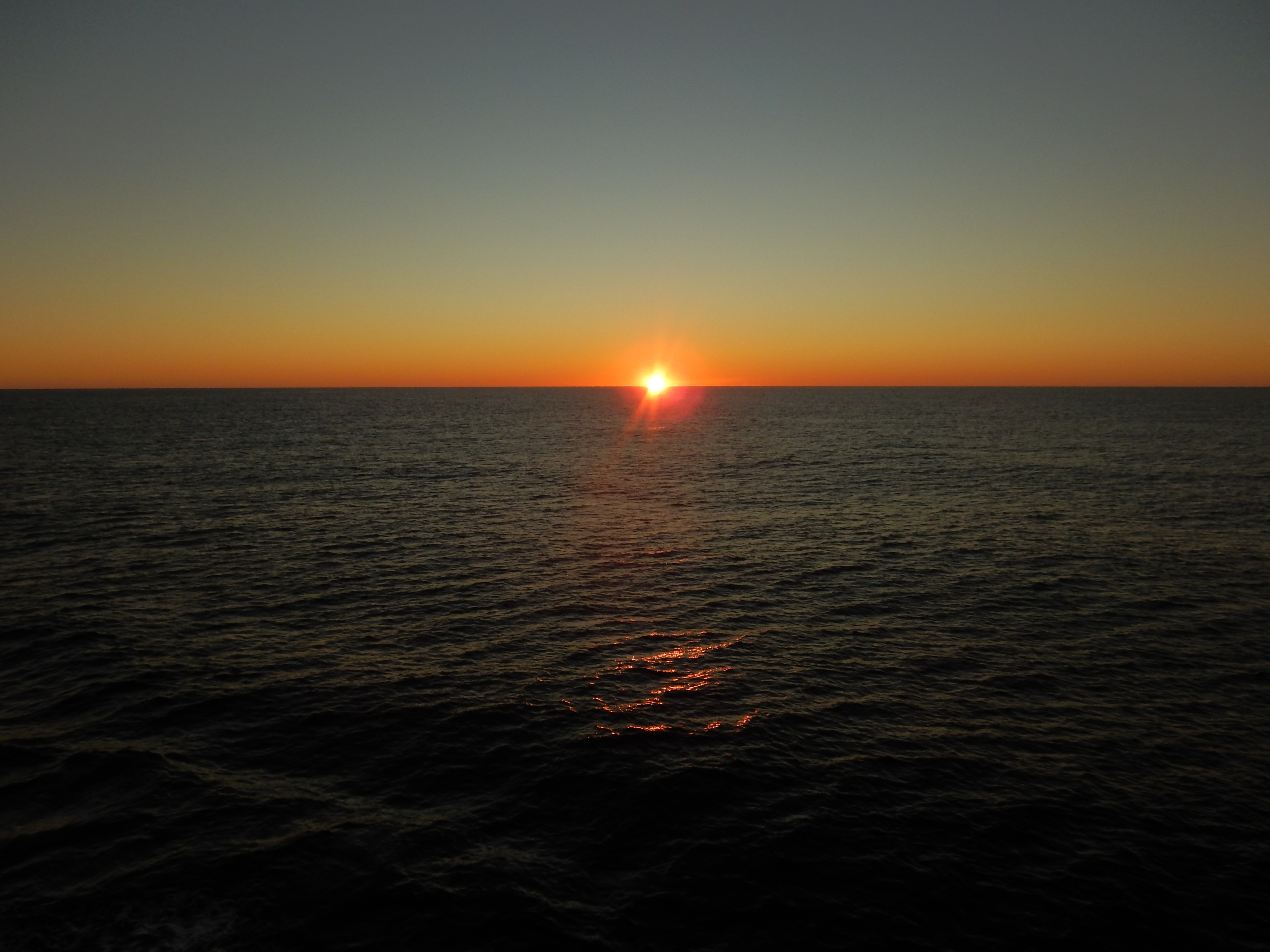
First evening at sea, bound for Antarctica
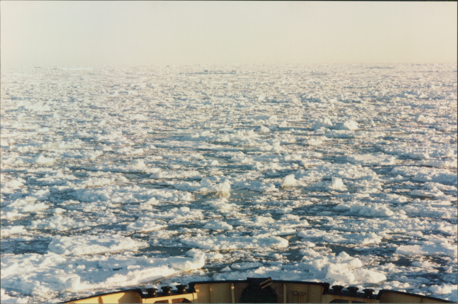
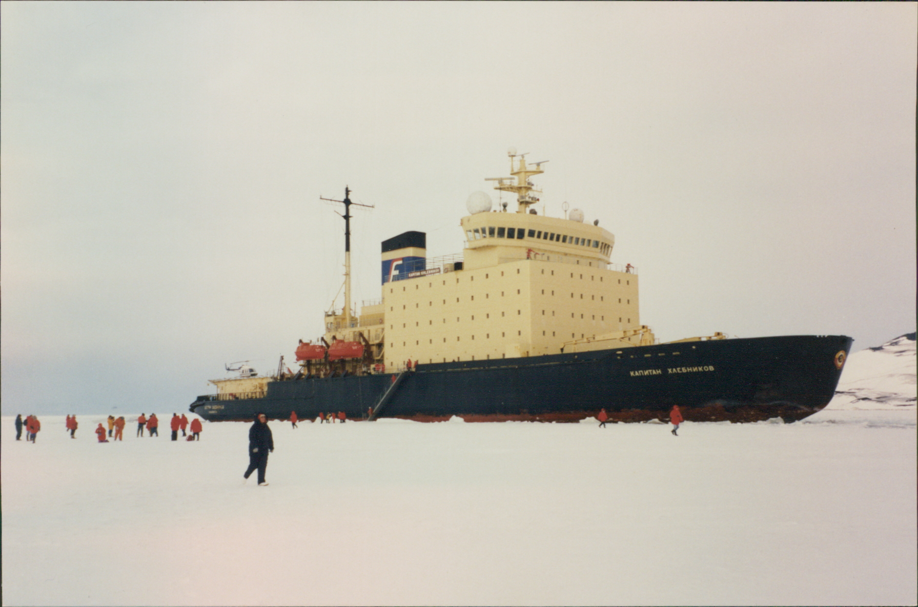
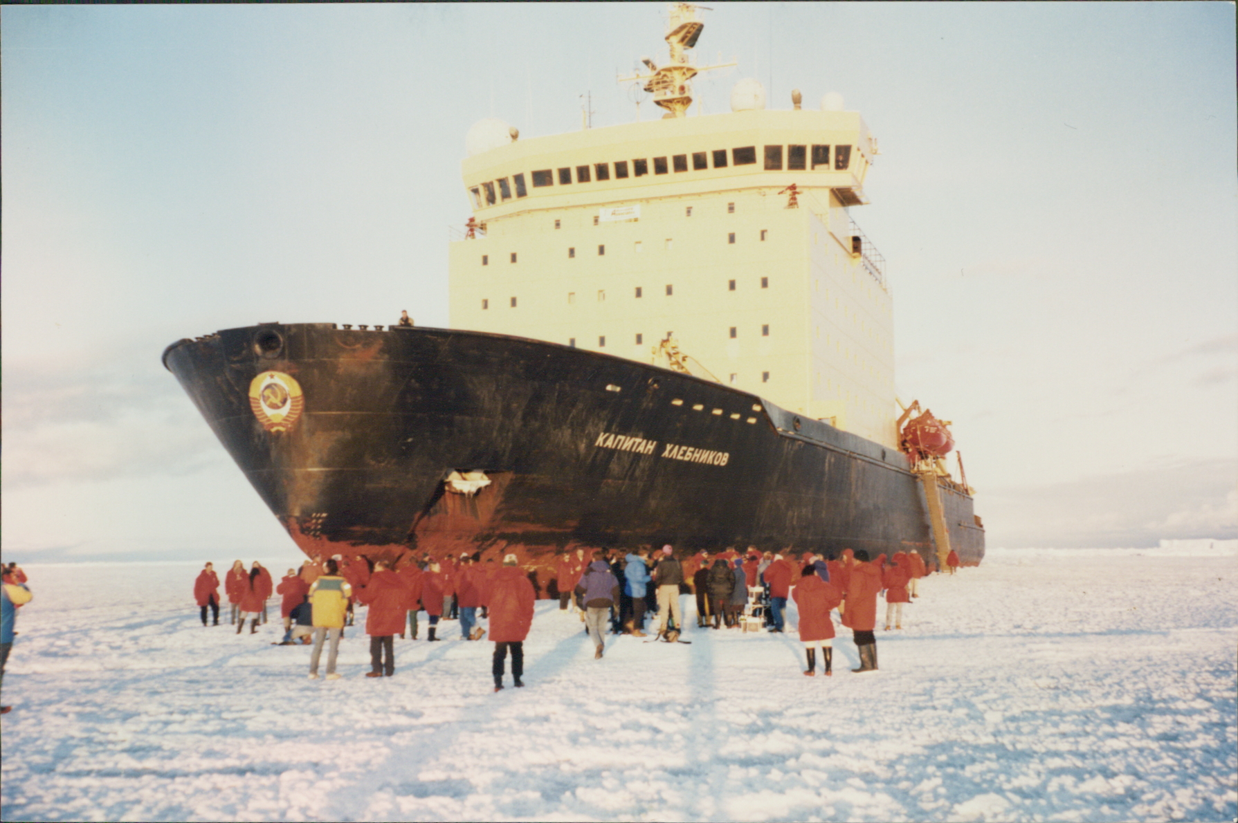
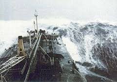
Its a 2 Day sail across one of the worlds roughest seas, The Drake Passage. Some call it the Drake Shake, but I called it the Drake Lake, smooth as! And so we were across in one and a half days. The adventure has begun.
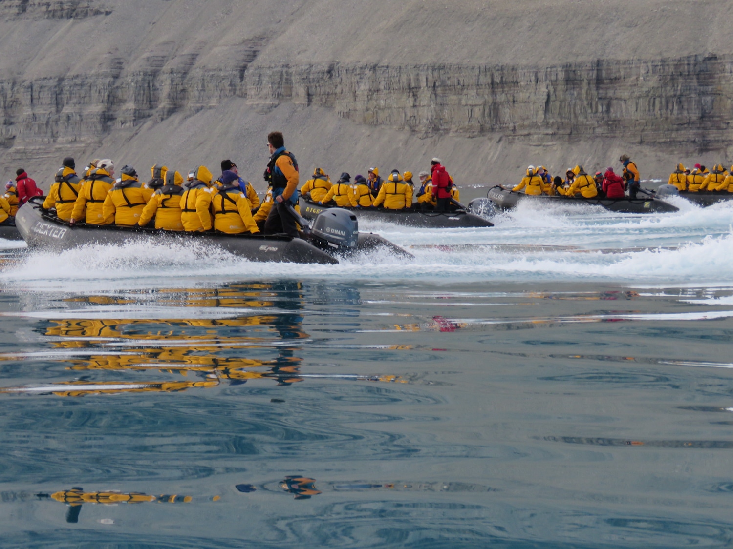
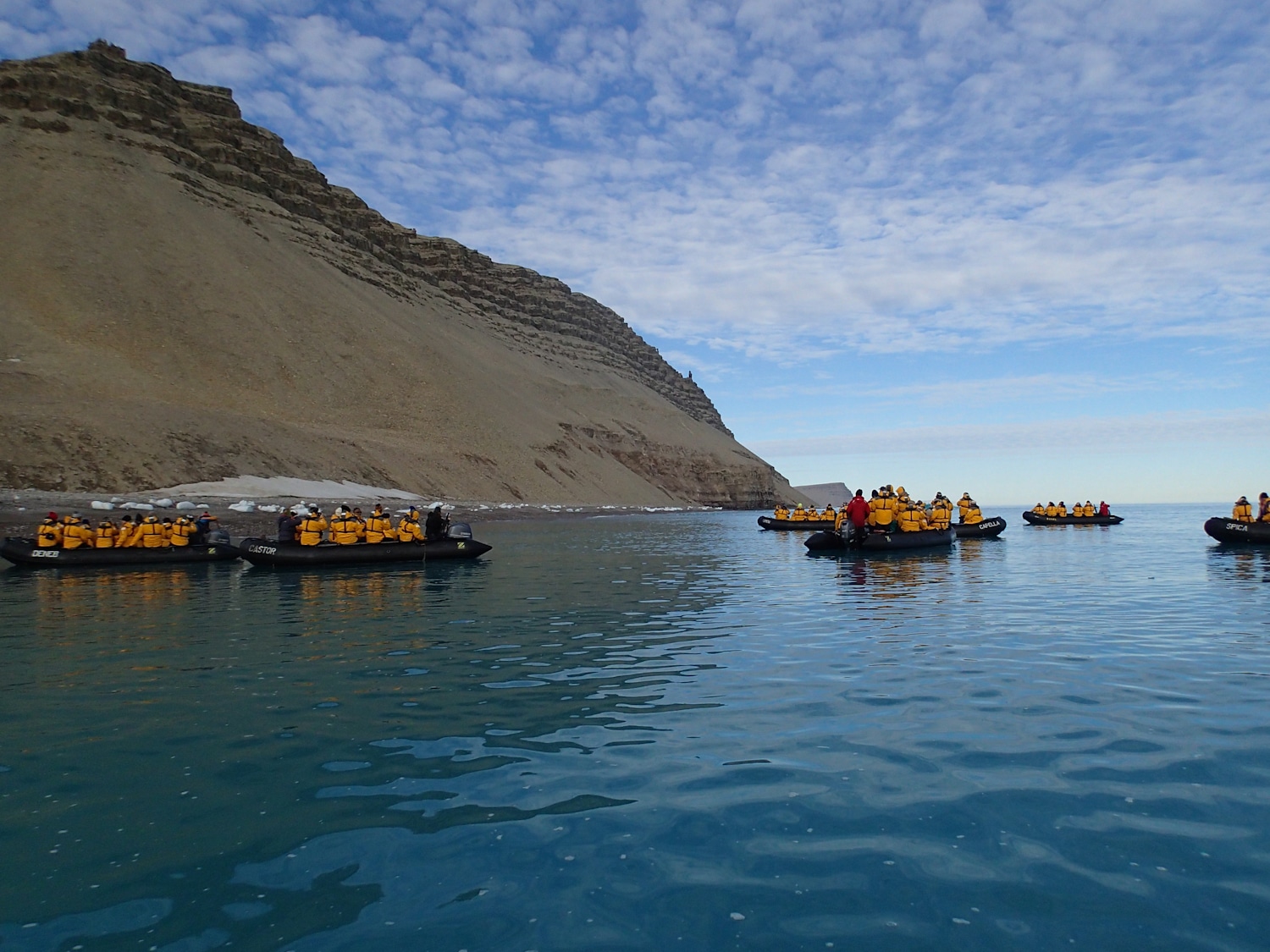
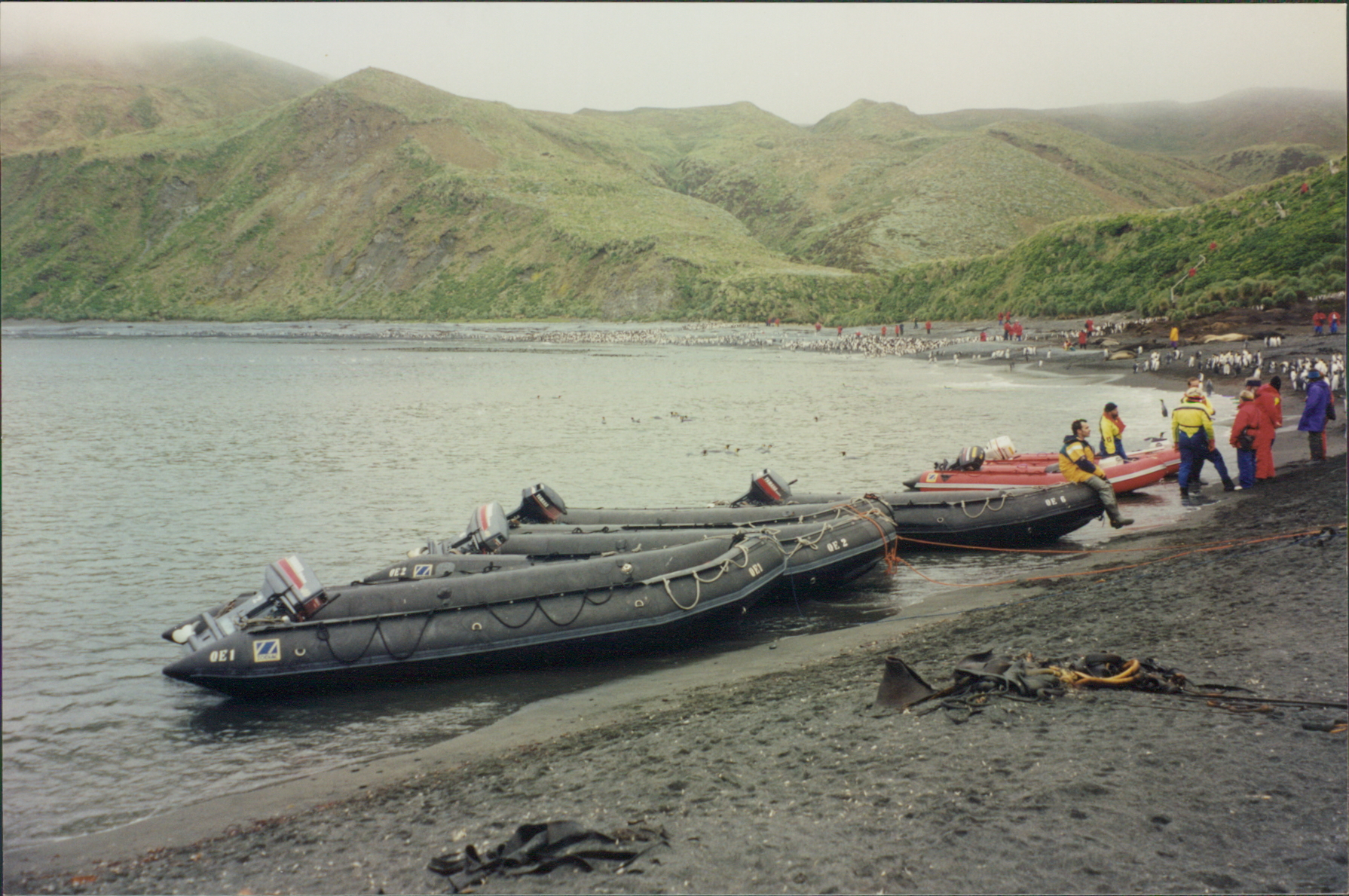
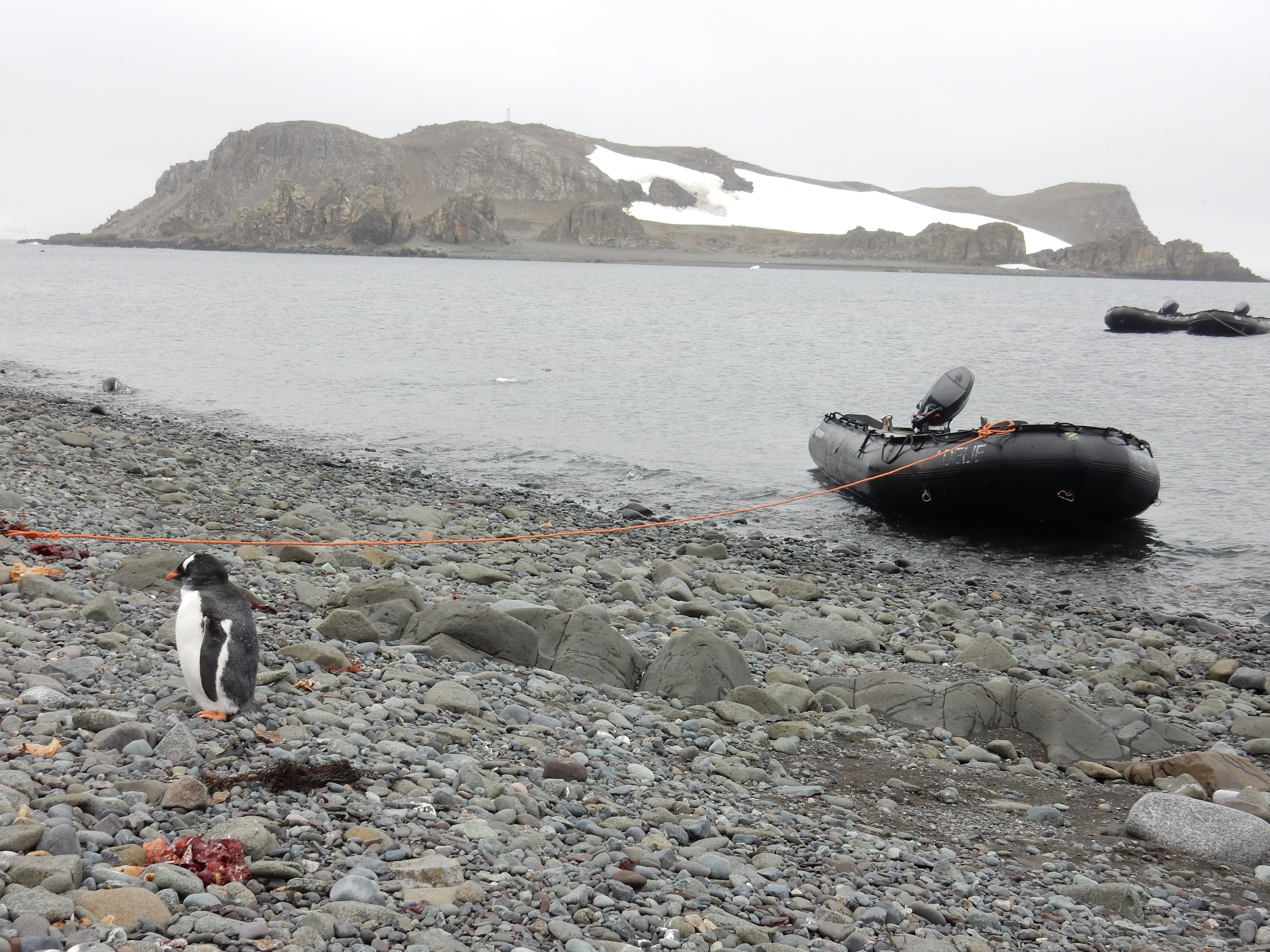
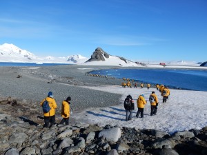
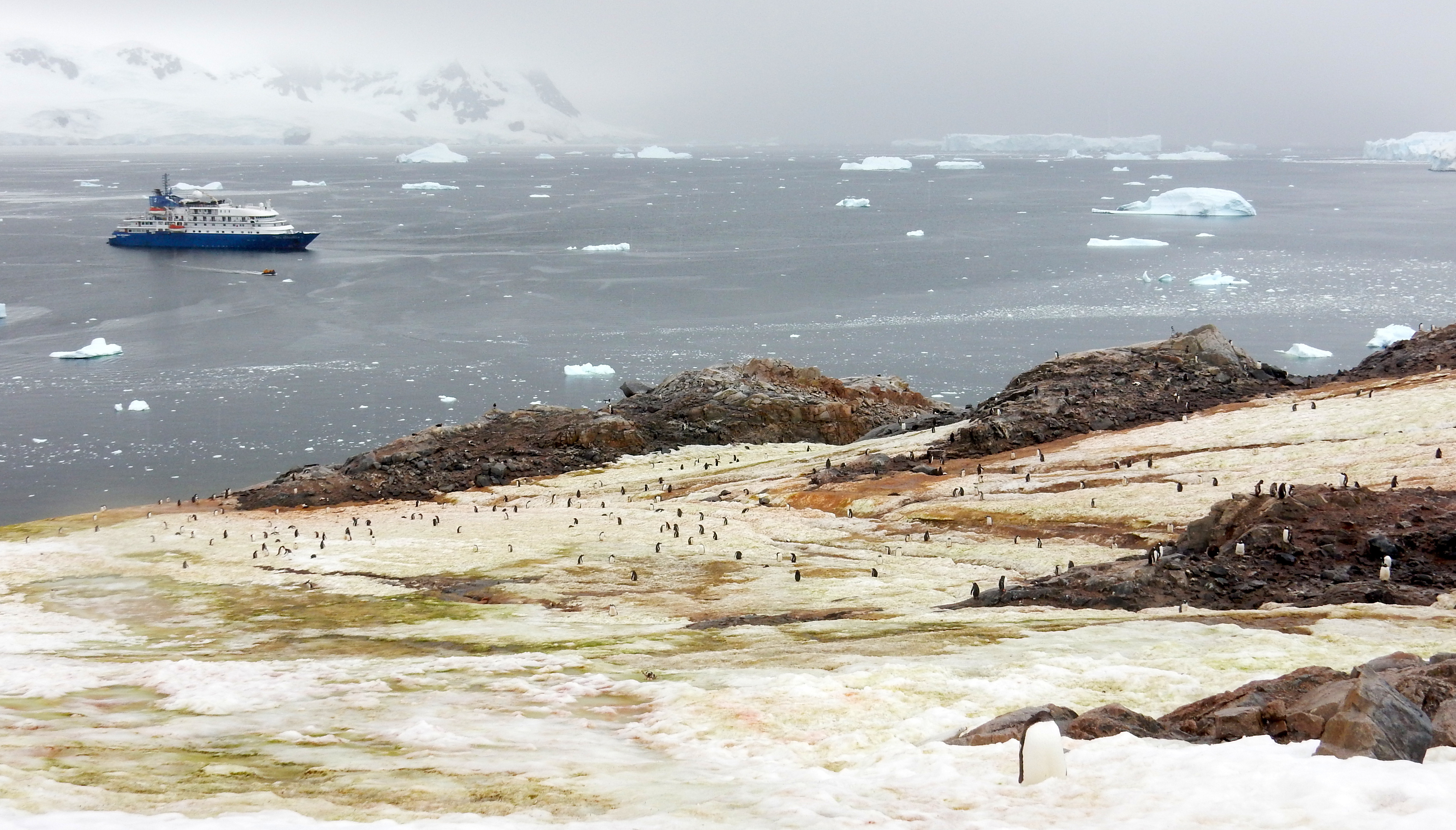
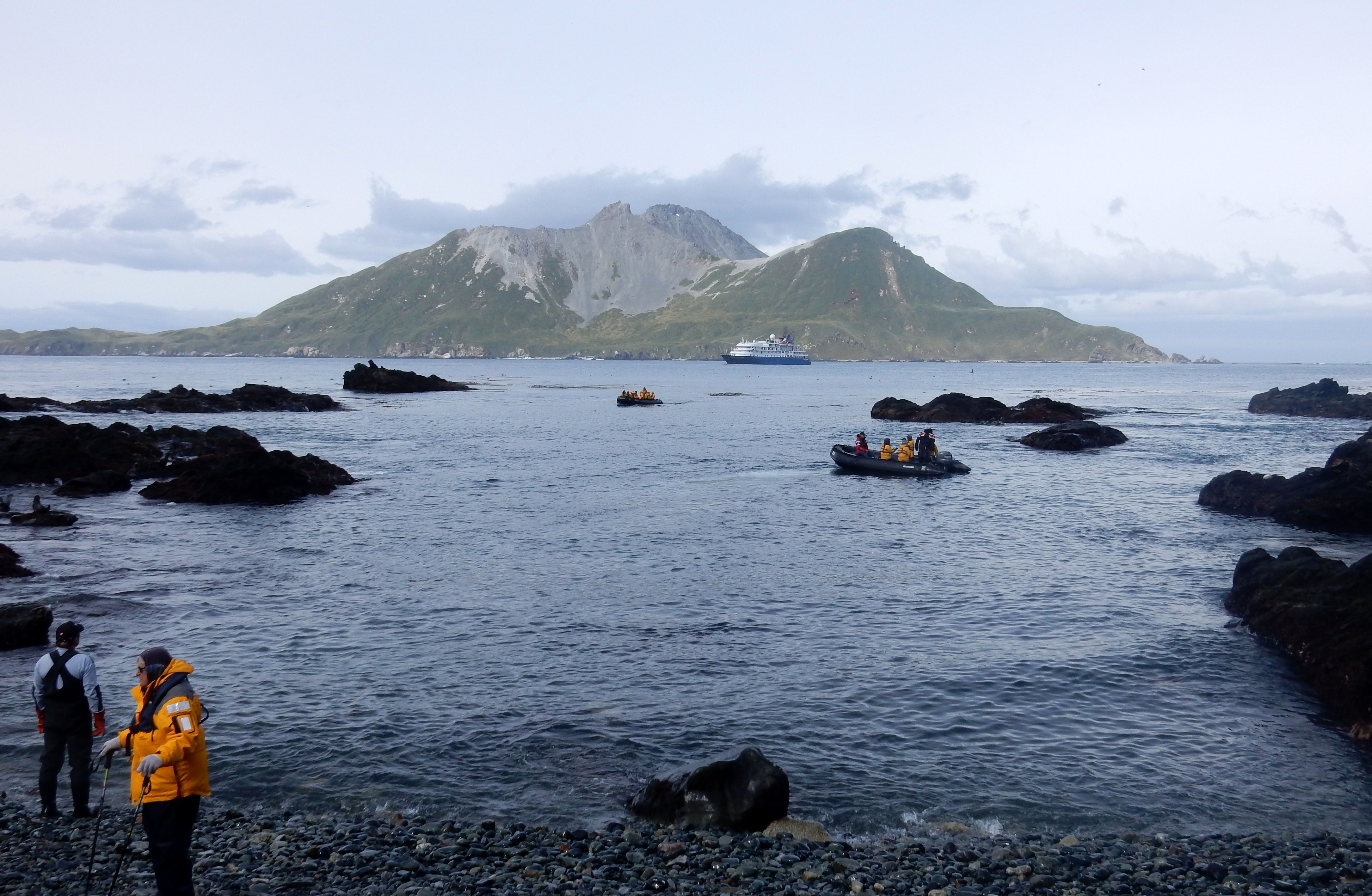
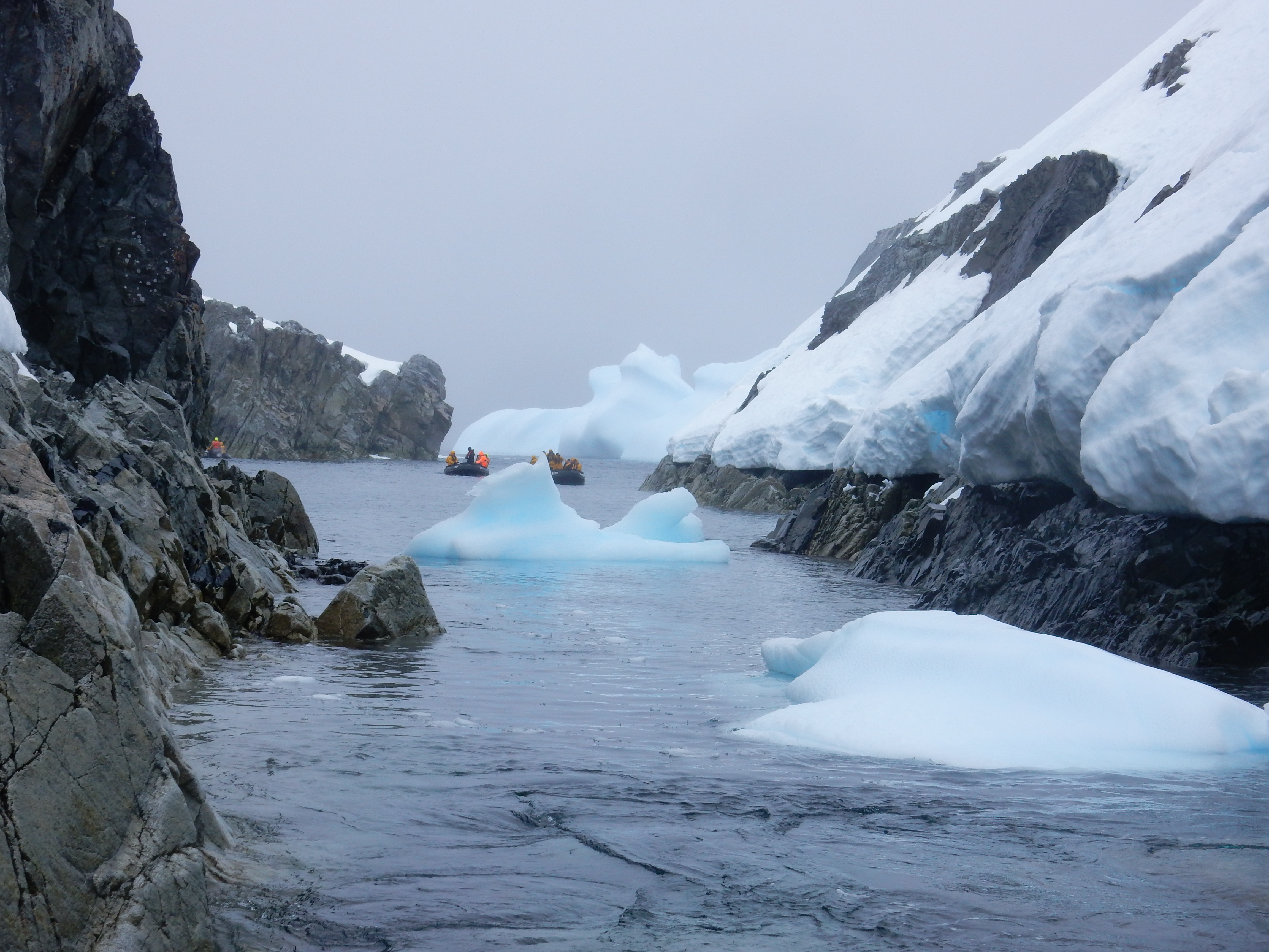
Late on day 2 we make the first landing on Aicho Island in the South Shetland Archipelago. This is the first of 16 landings we will make. There is great excitement for all, specialty for the first timers in a Zodiac, let alone the first time for most to a Polar Region. All went smoothly and we are all ashore without mishap. (good safety briefing).
I am not going to rave on about every day to day activity for the next 20 days (thank goodness for that I hear you say), but I will try to cover all of pertinent and important sightings and activities with pictures.
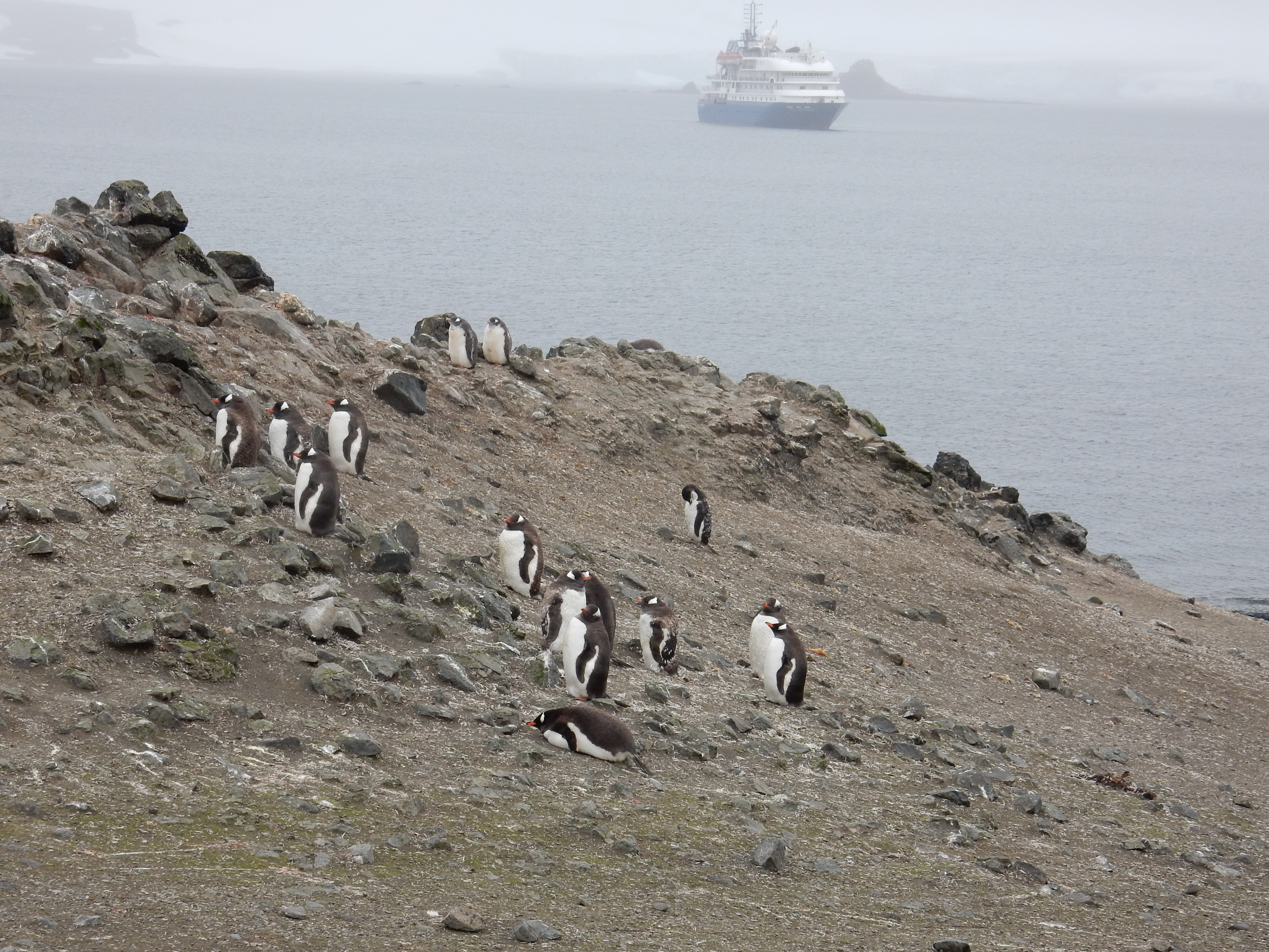
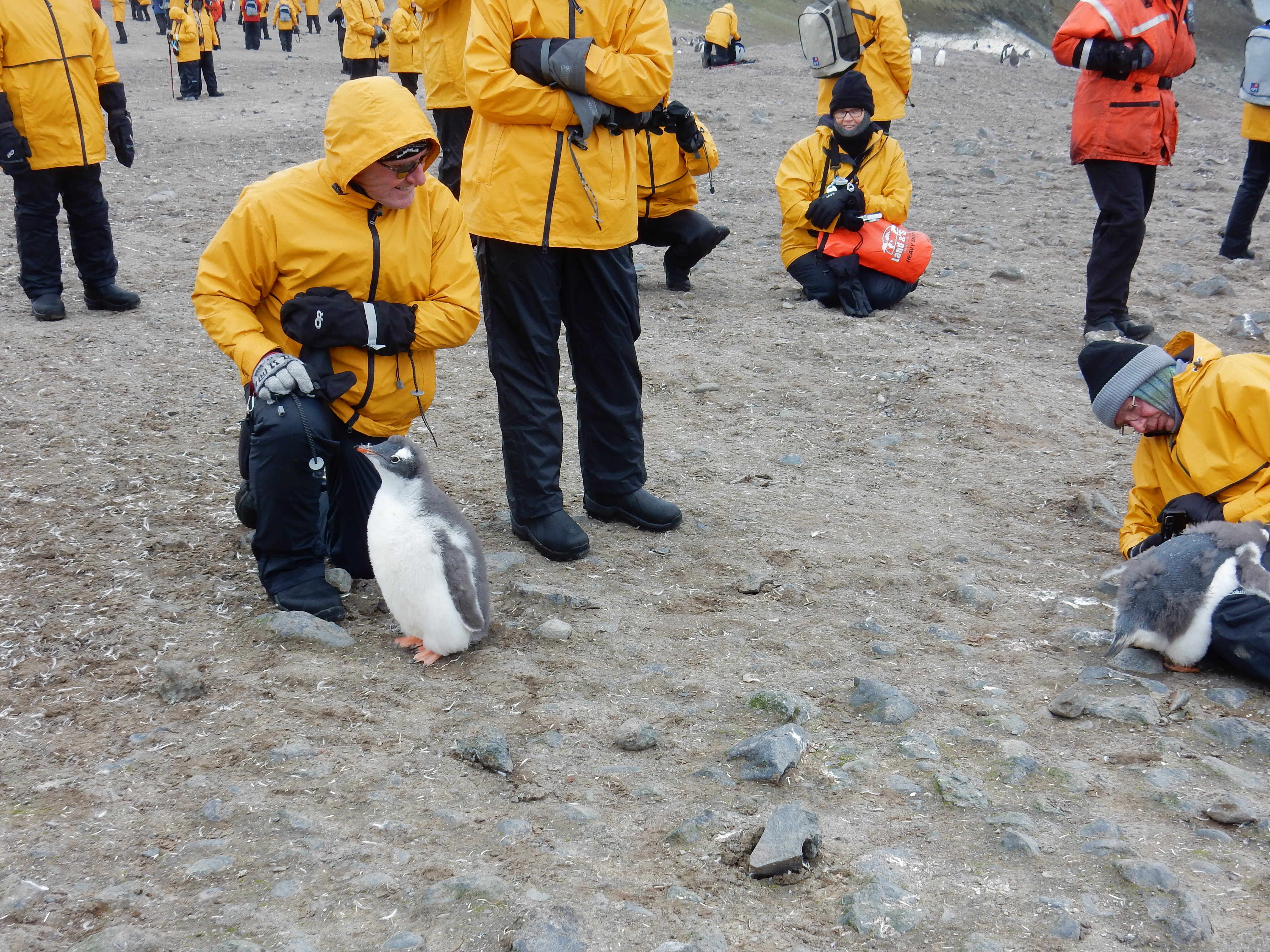
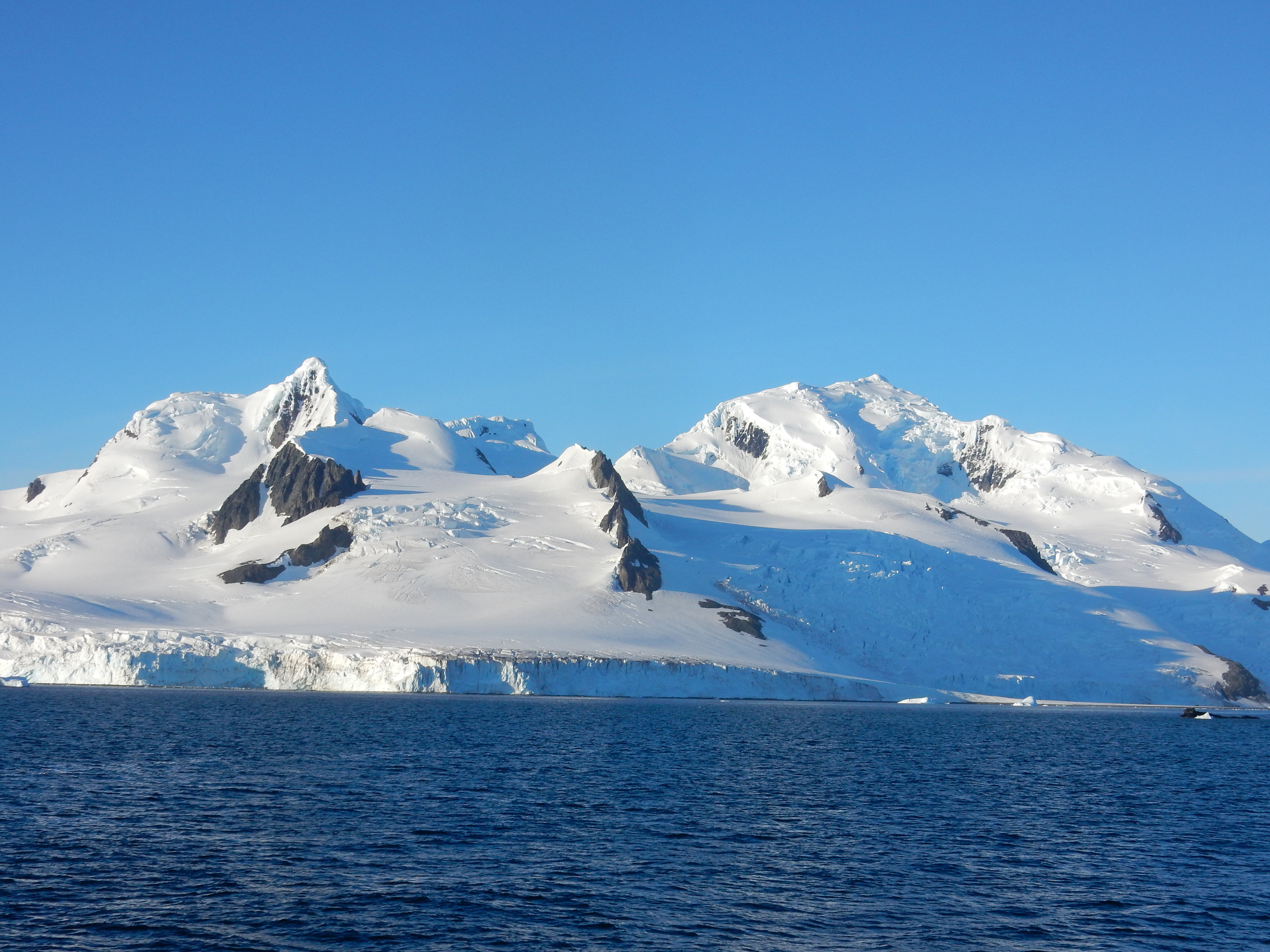
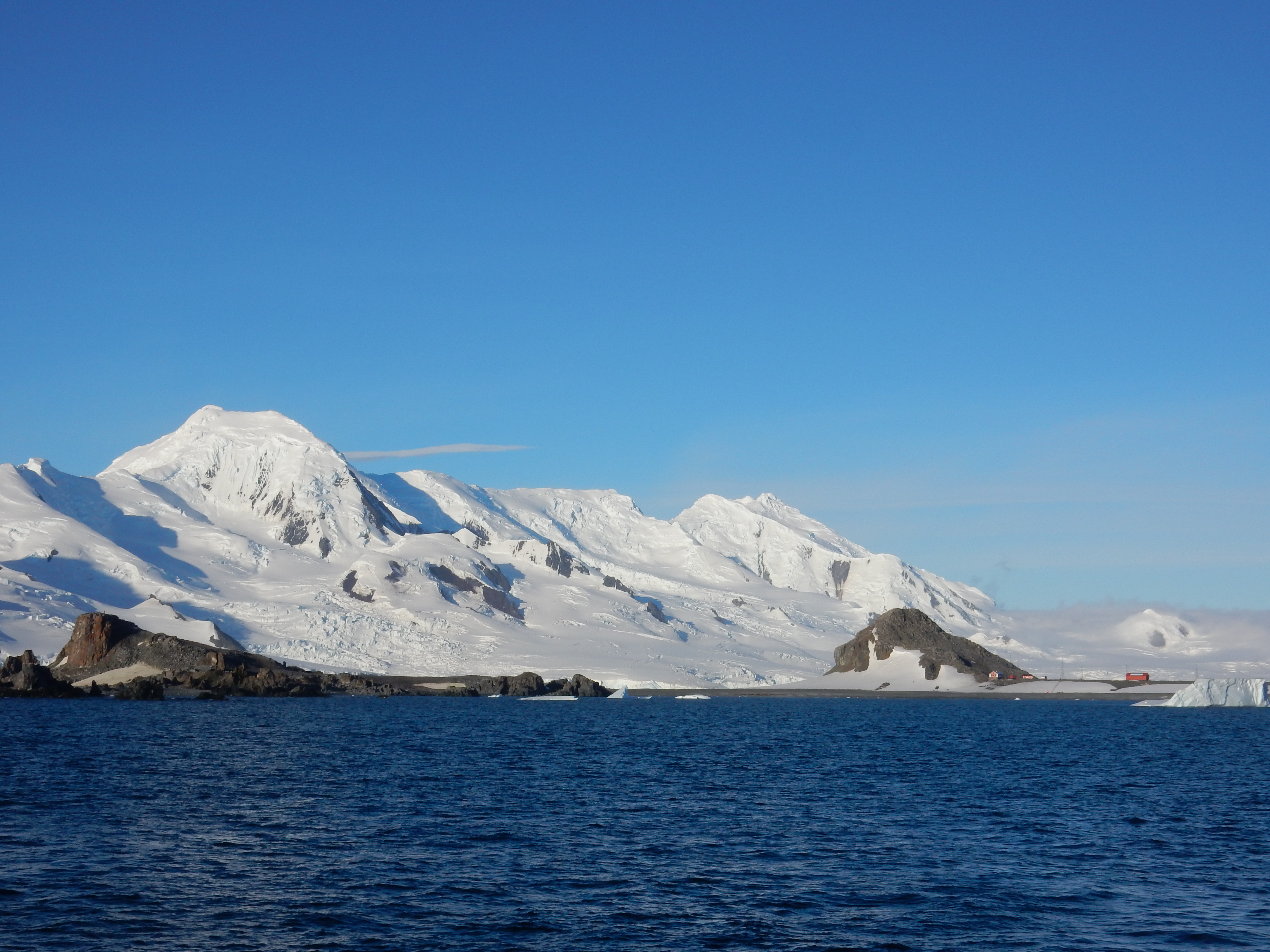
Half Moon Island-
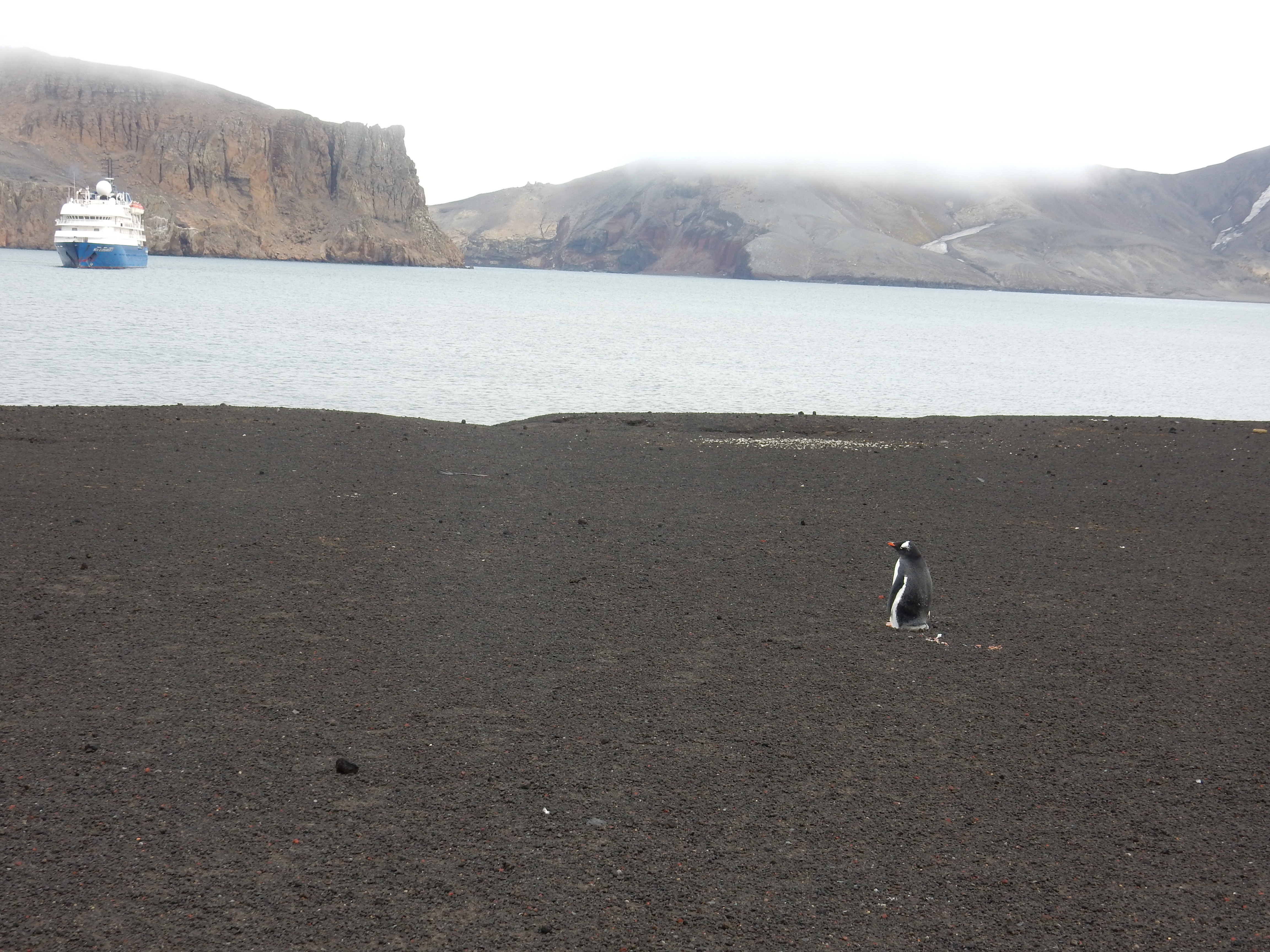
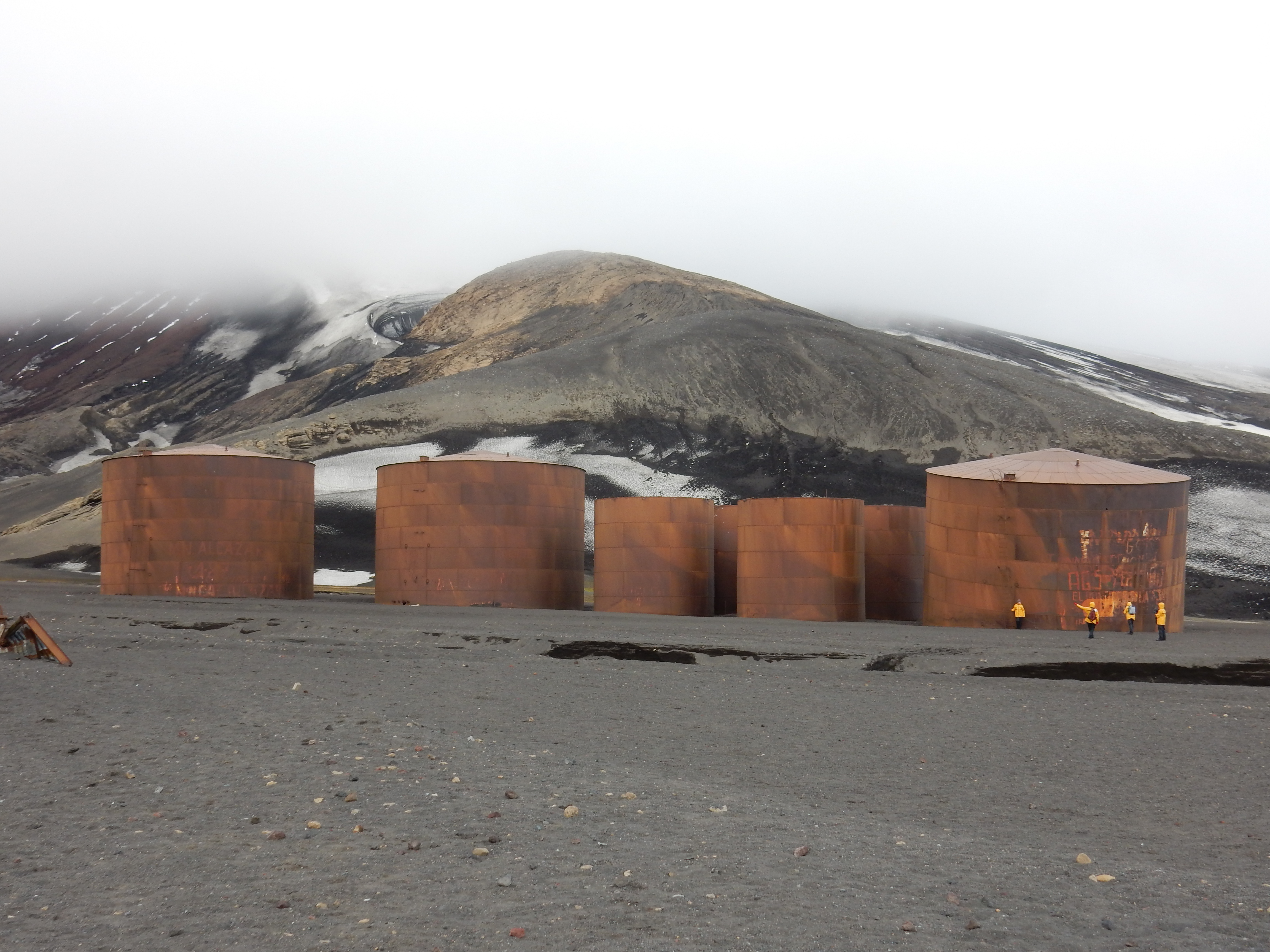
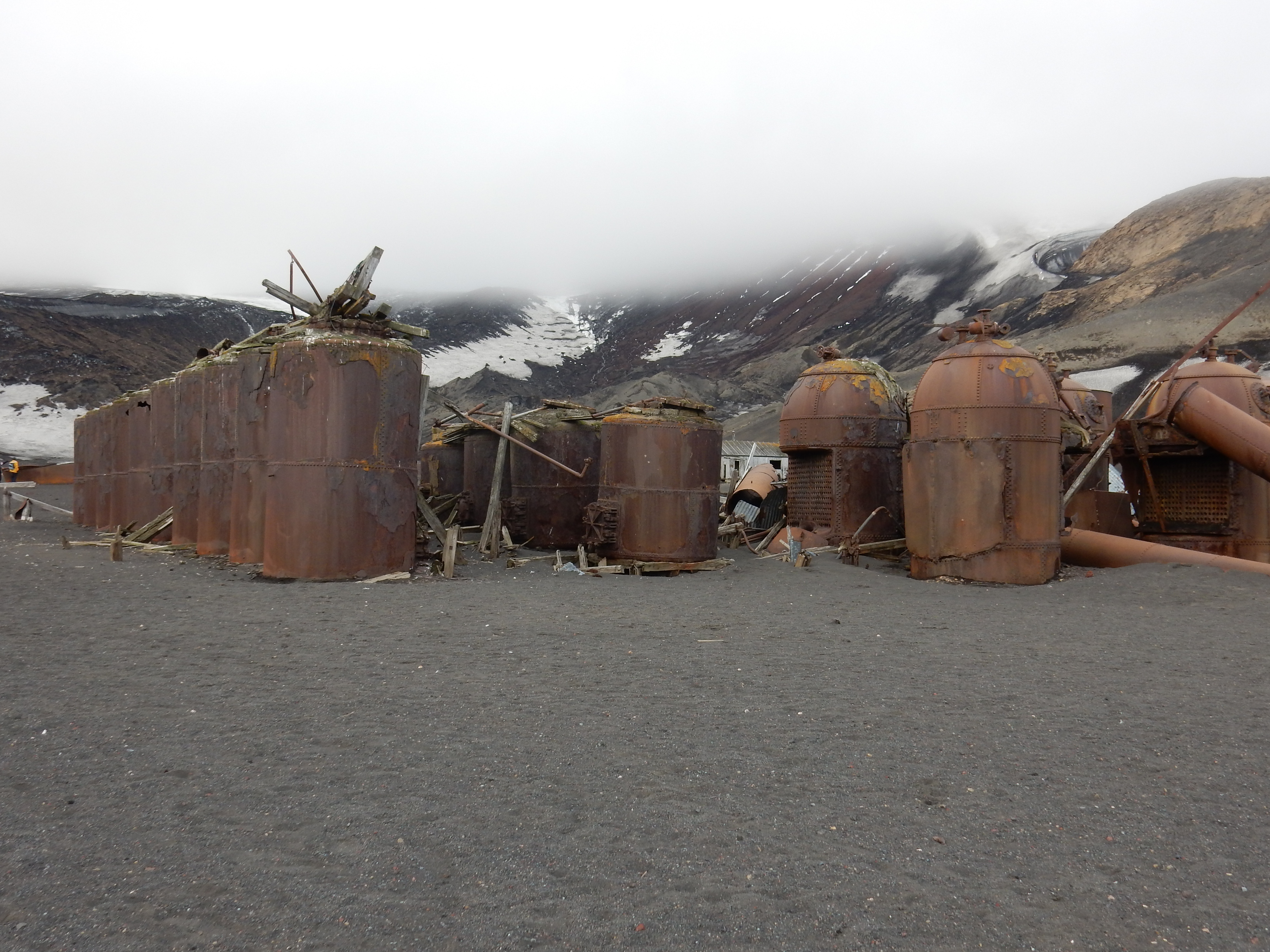
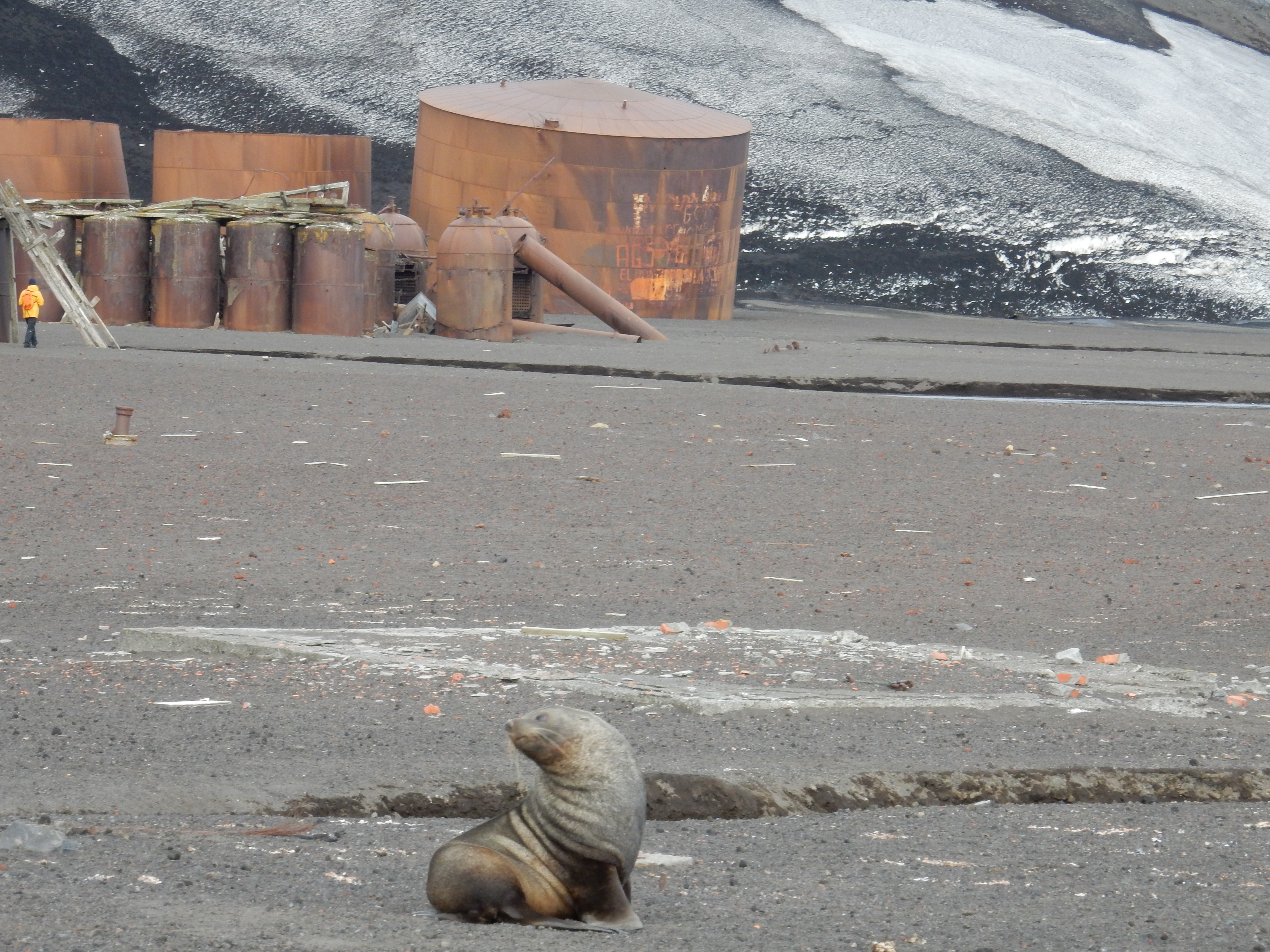
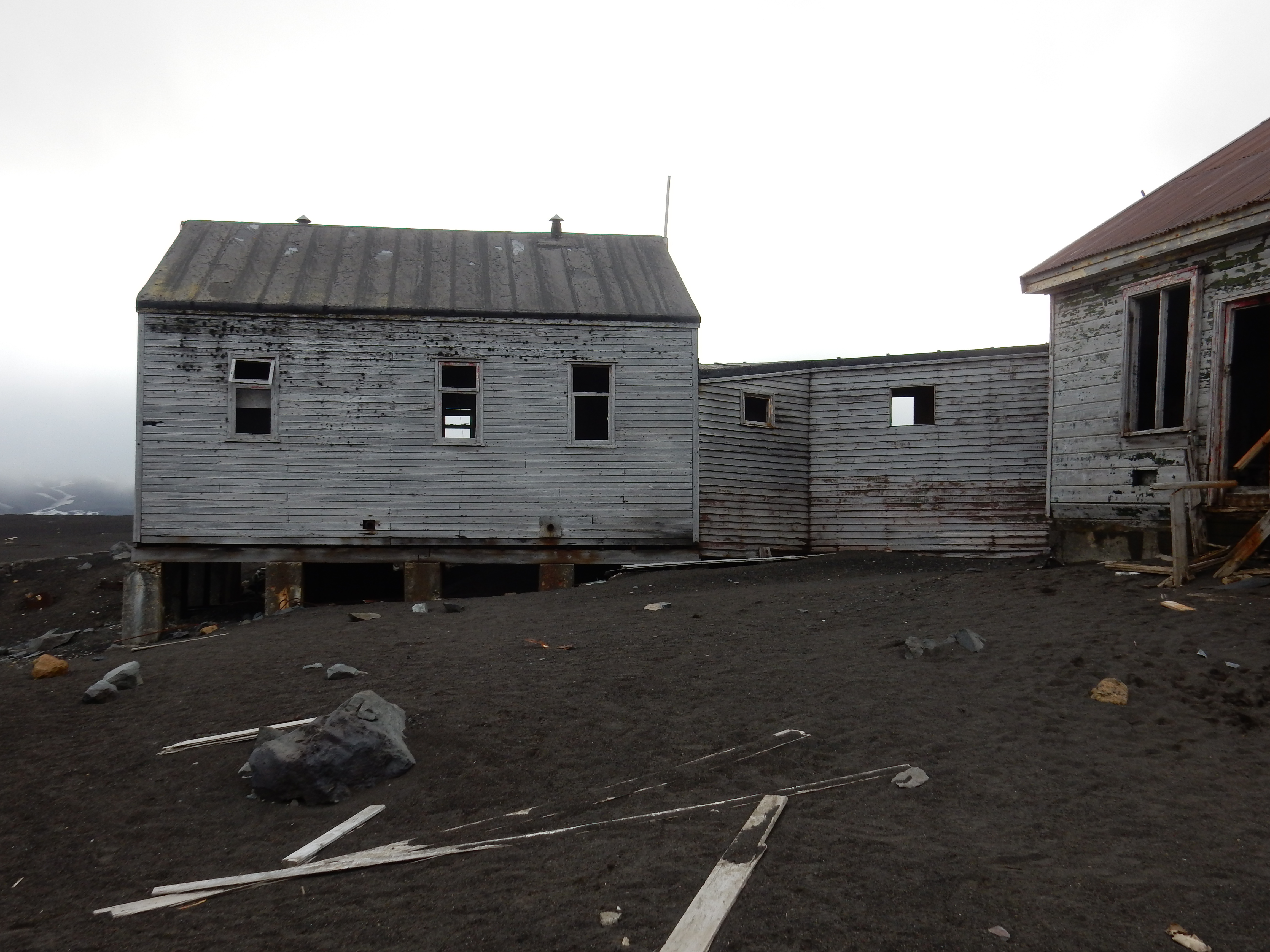
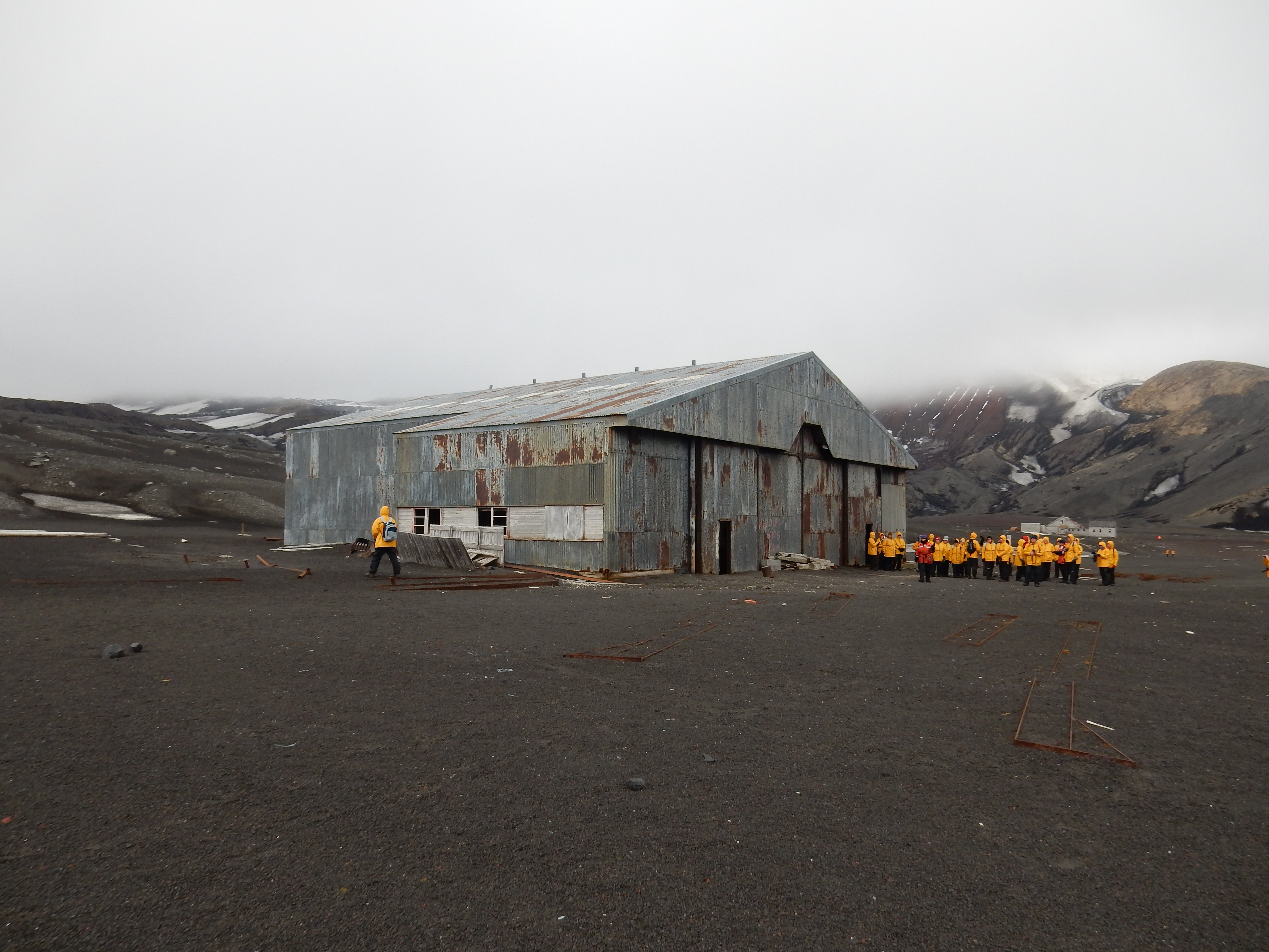
Whalers Bay, Deception Island.
This place must have been like an oasis in a desert. It is a large volcanic crater with a narrow opening to an open sea. An ideal place in a sheltered bay for a whaling, and later sealing operations which lasted for some 50 years. There were also research stations operated by the Spanish and Argentina.
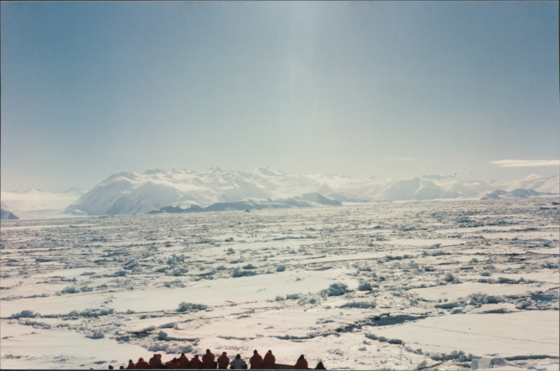
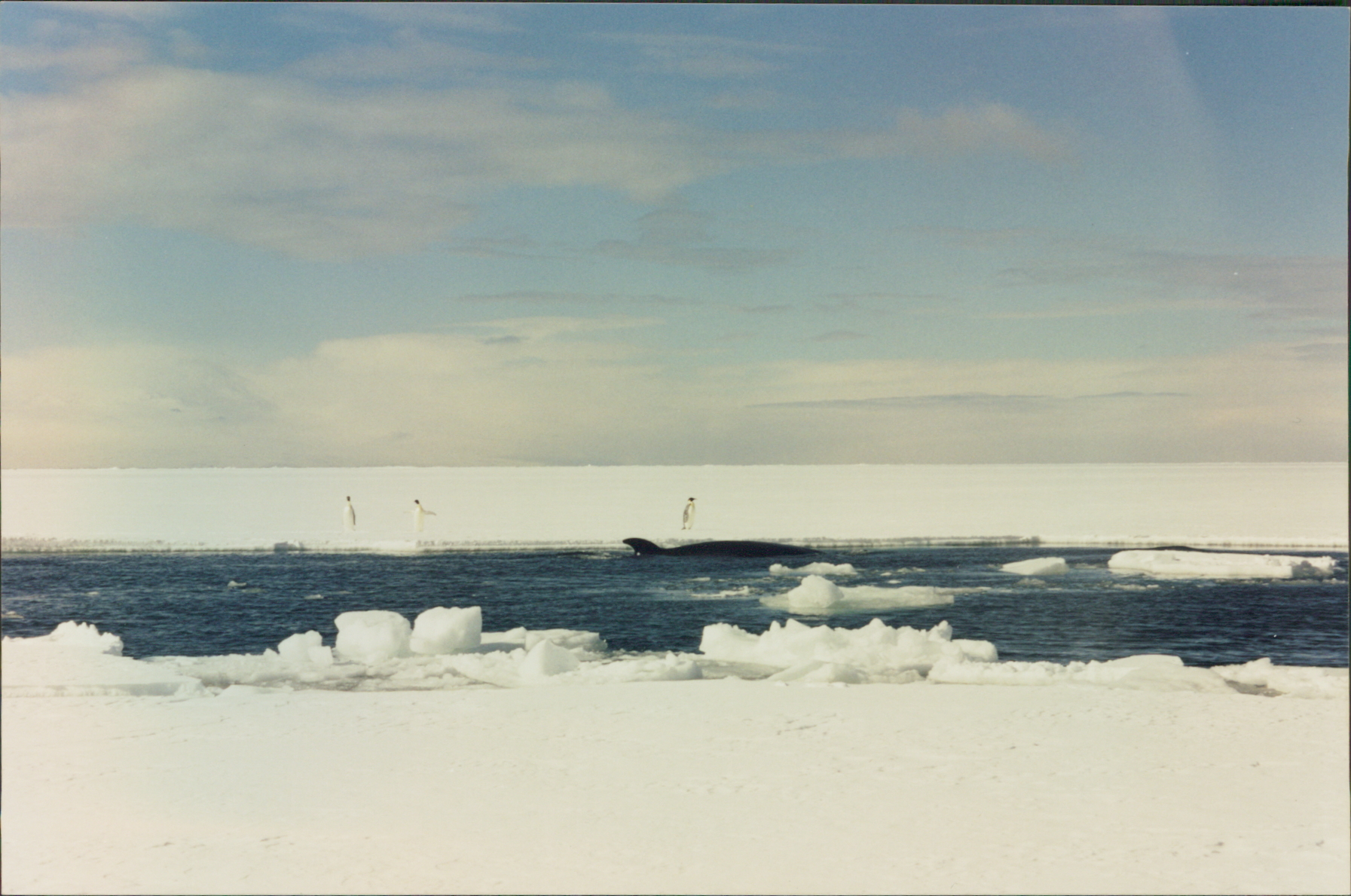
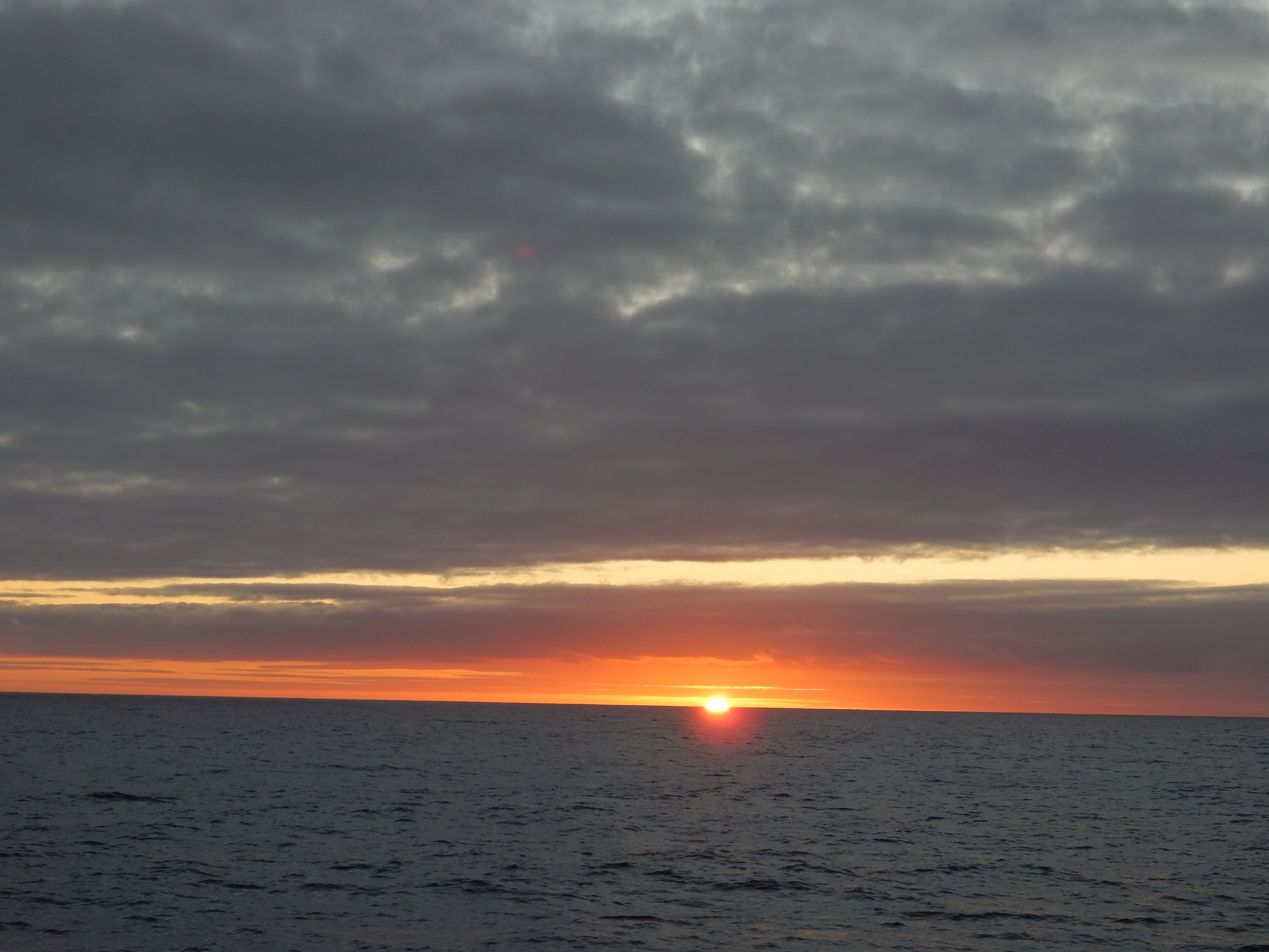
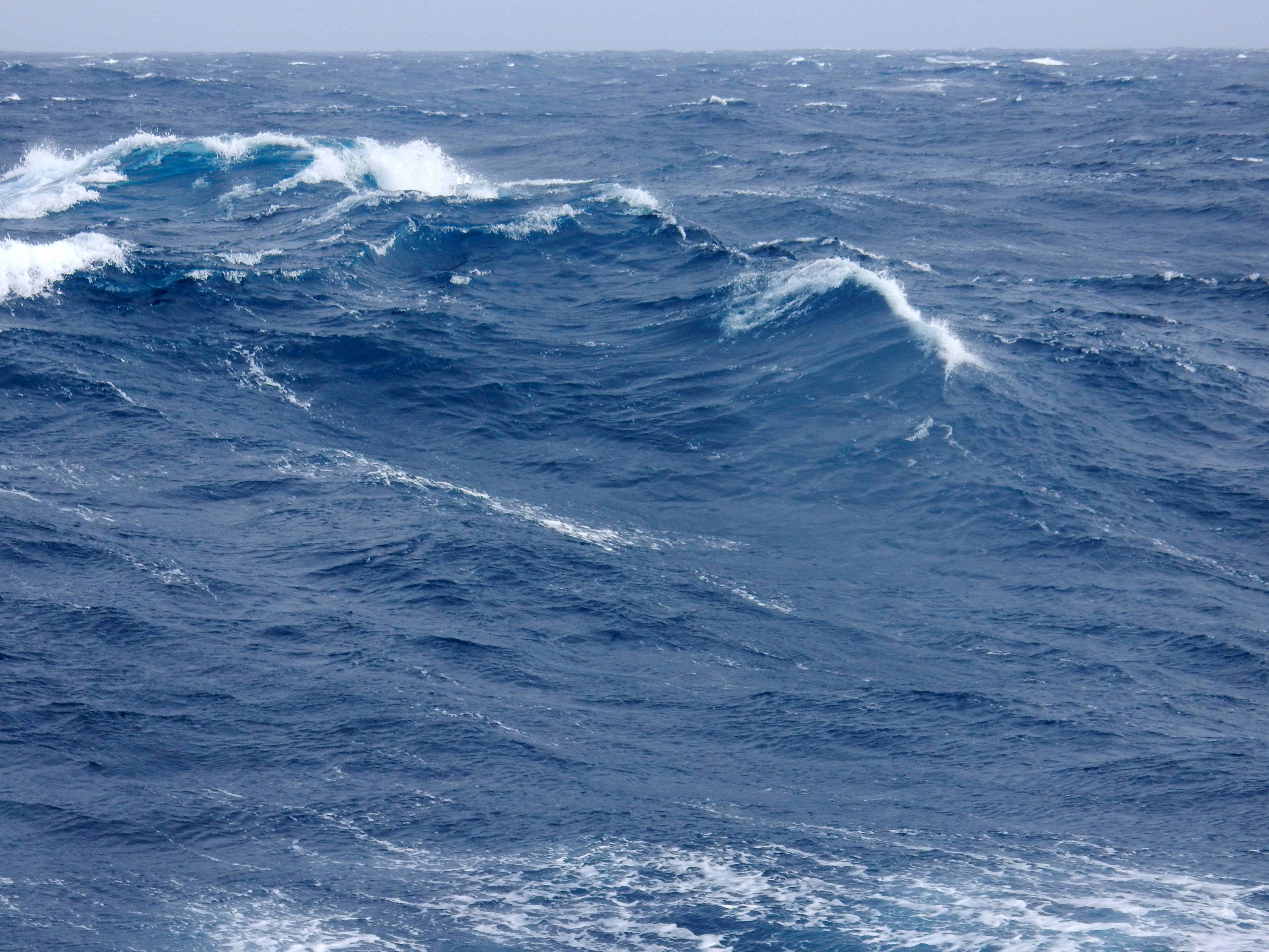
At sea
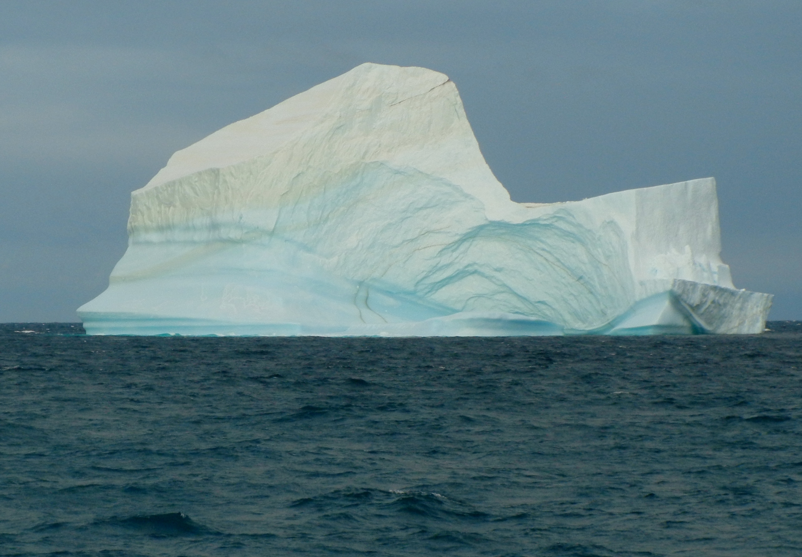
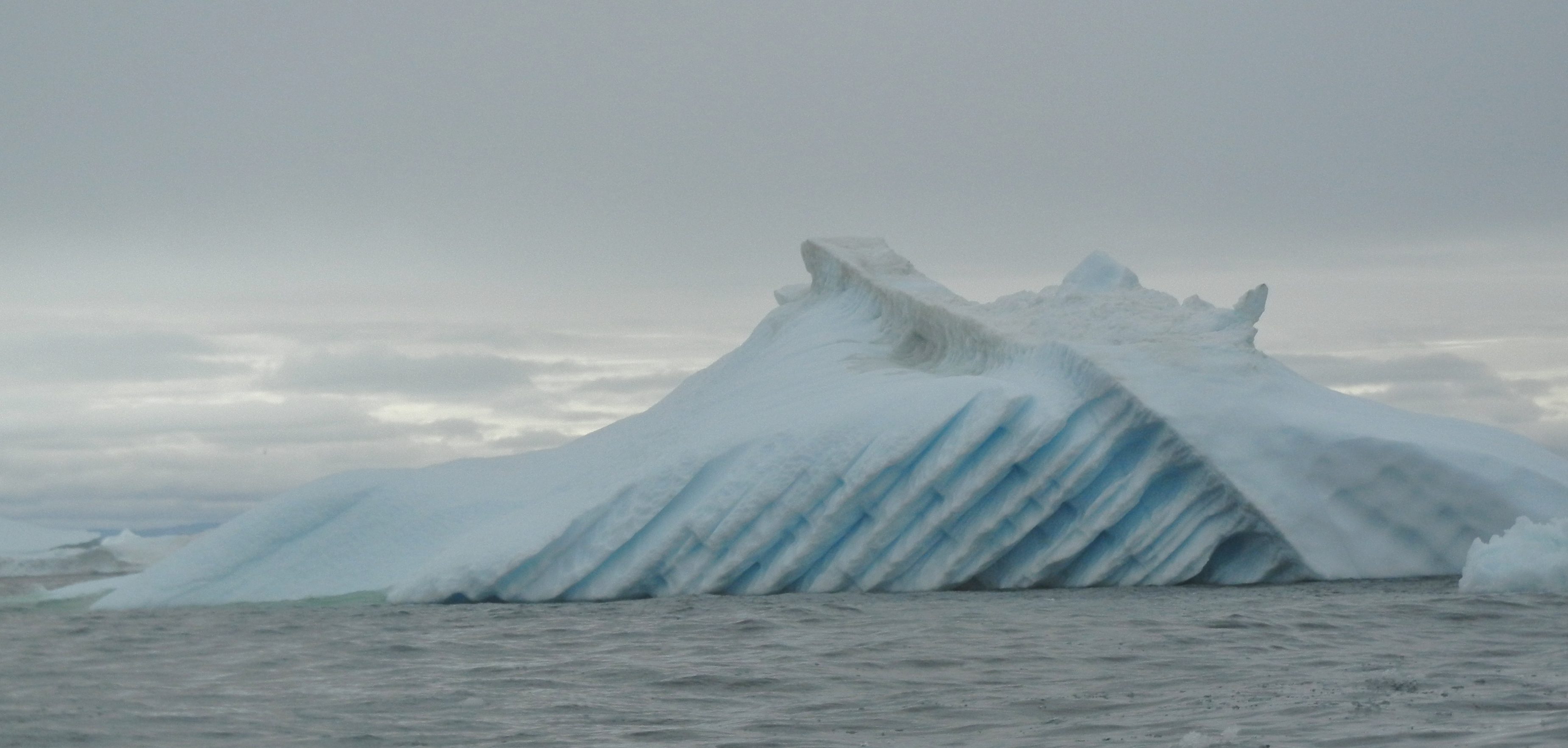
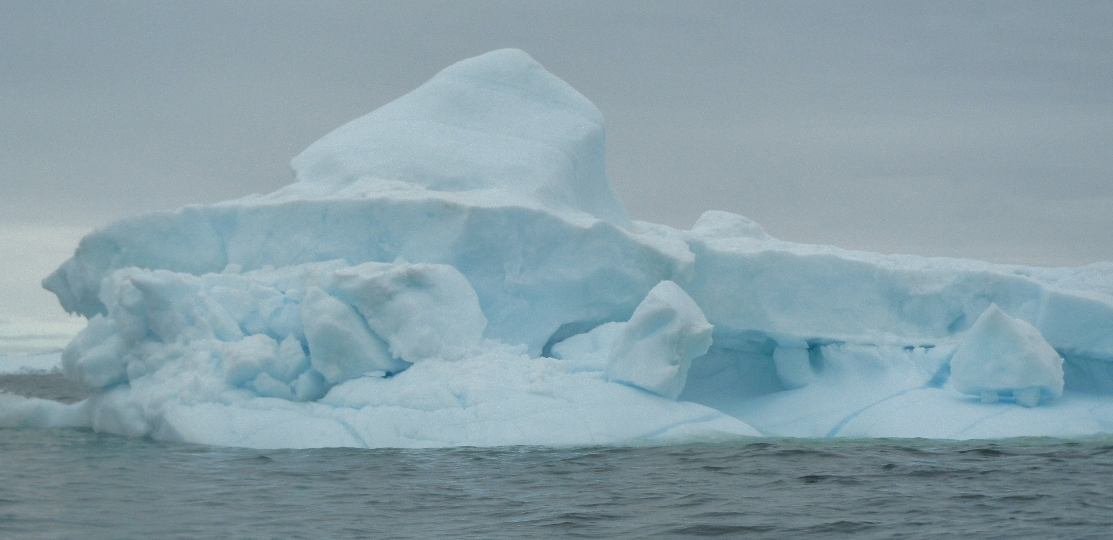
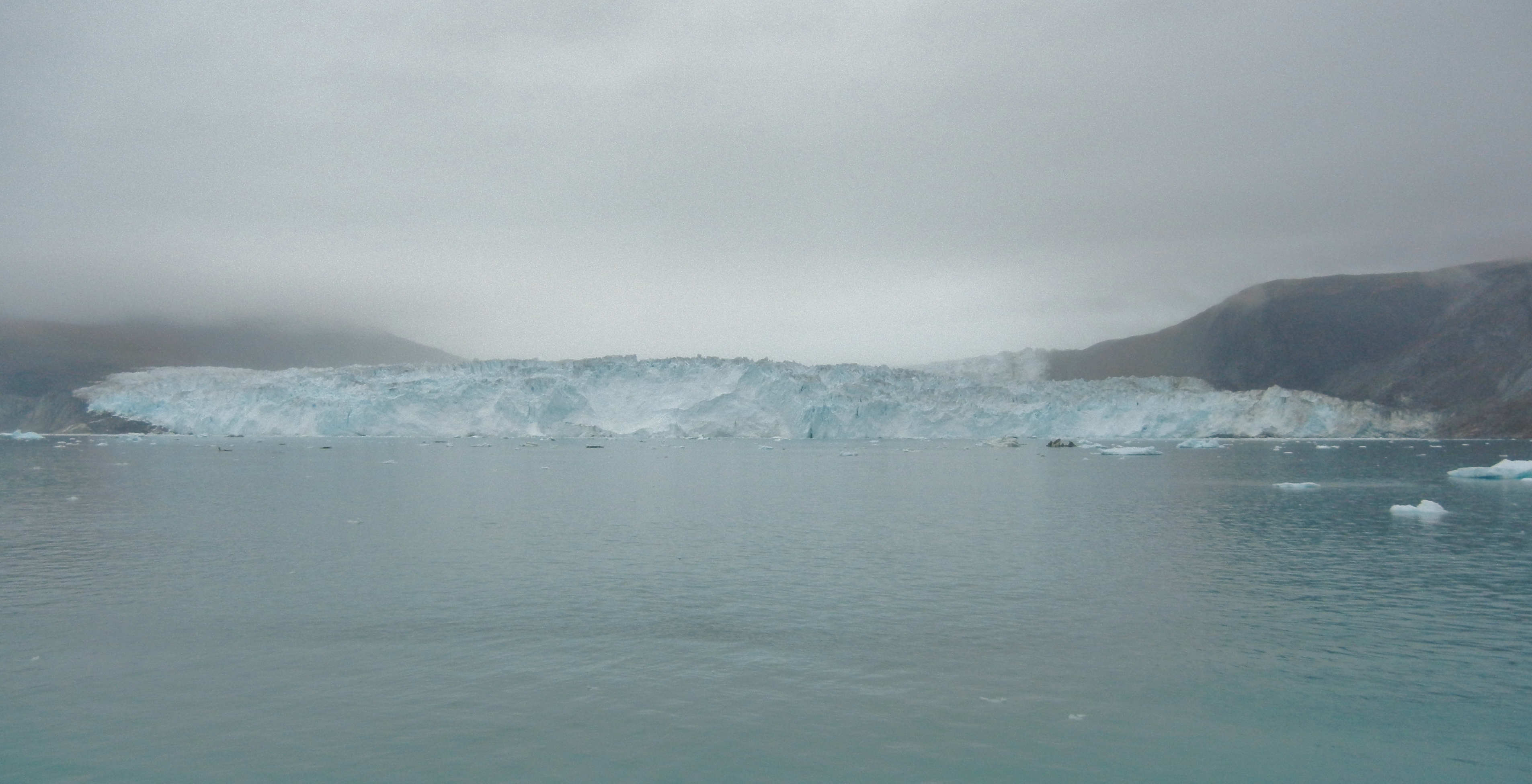
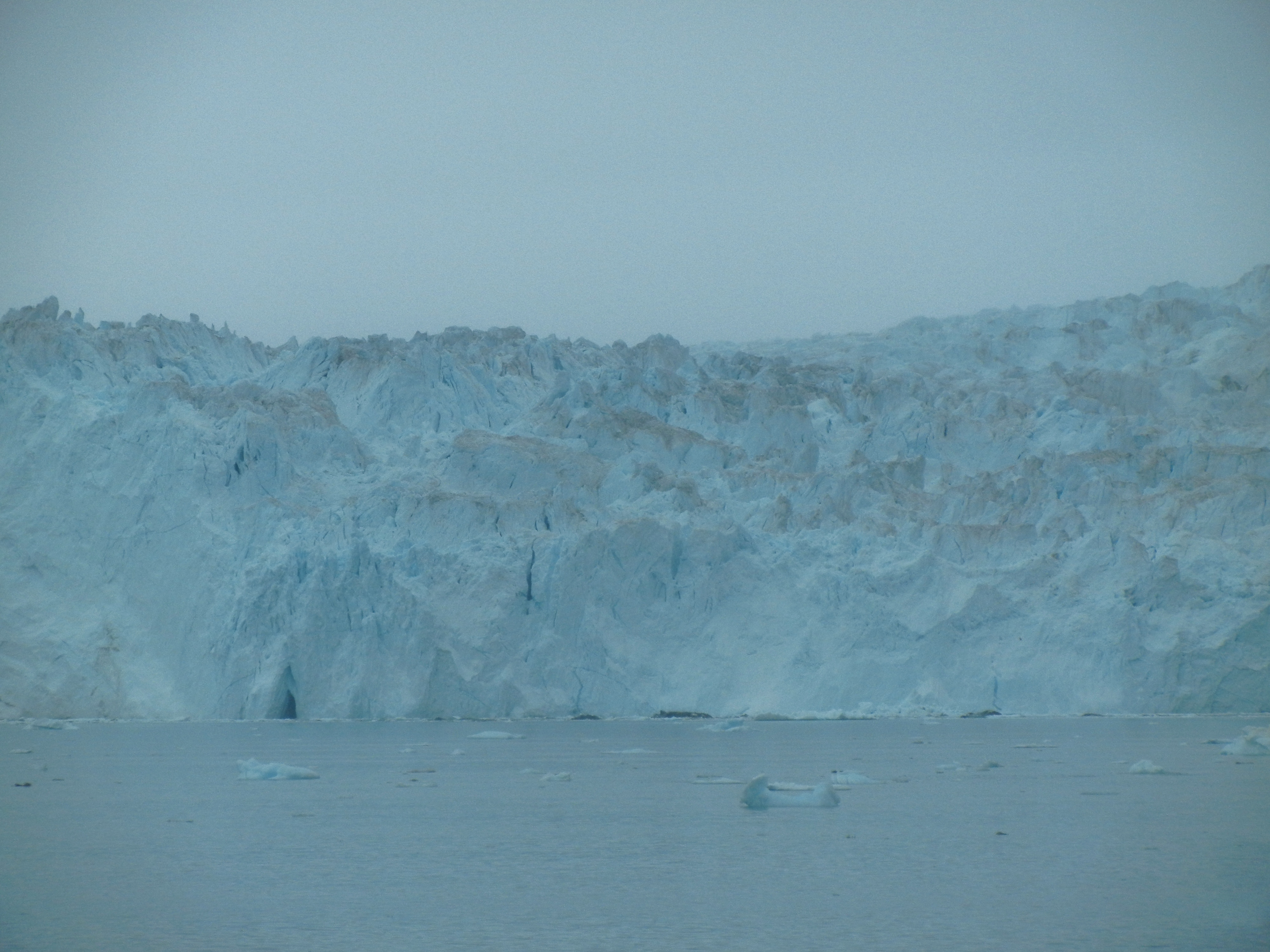
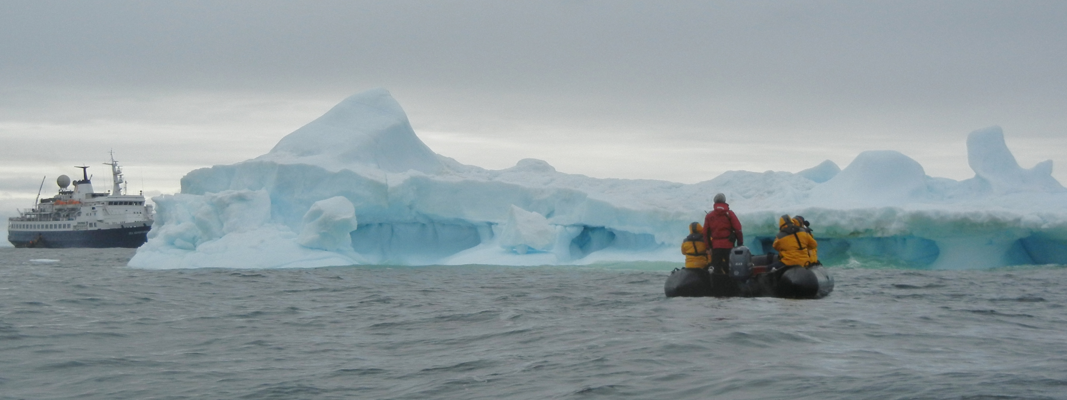
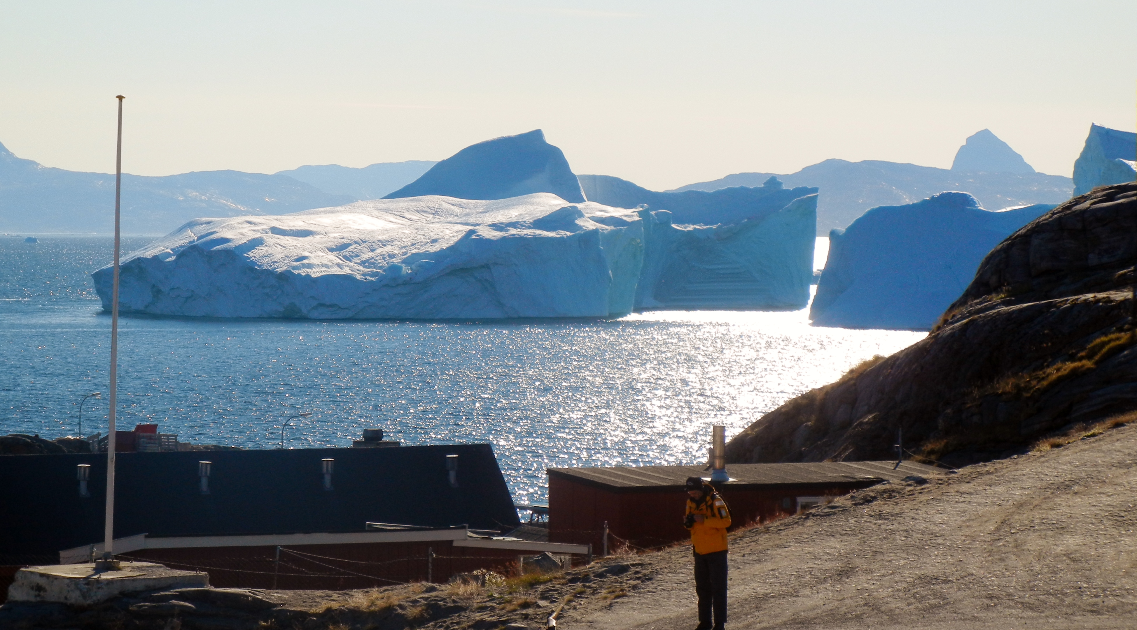
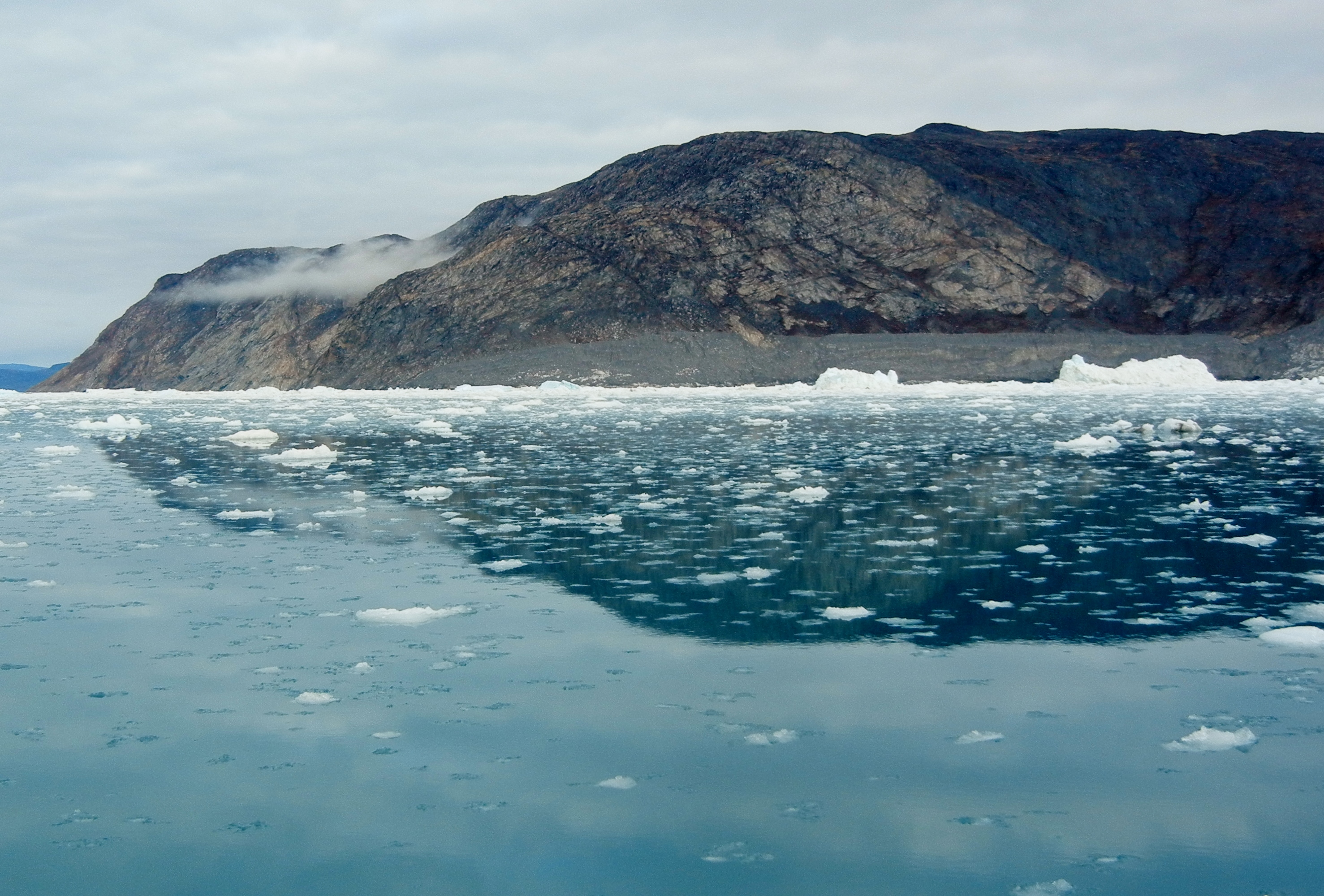
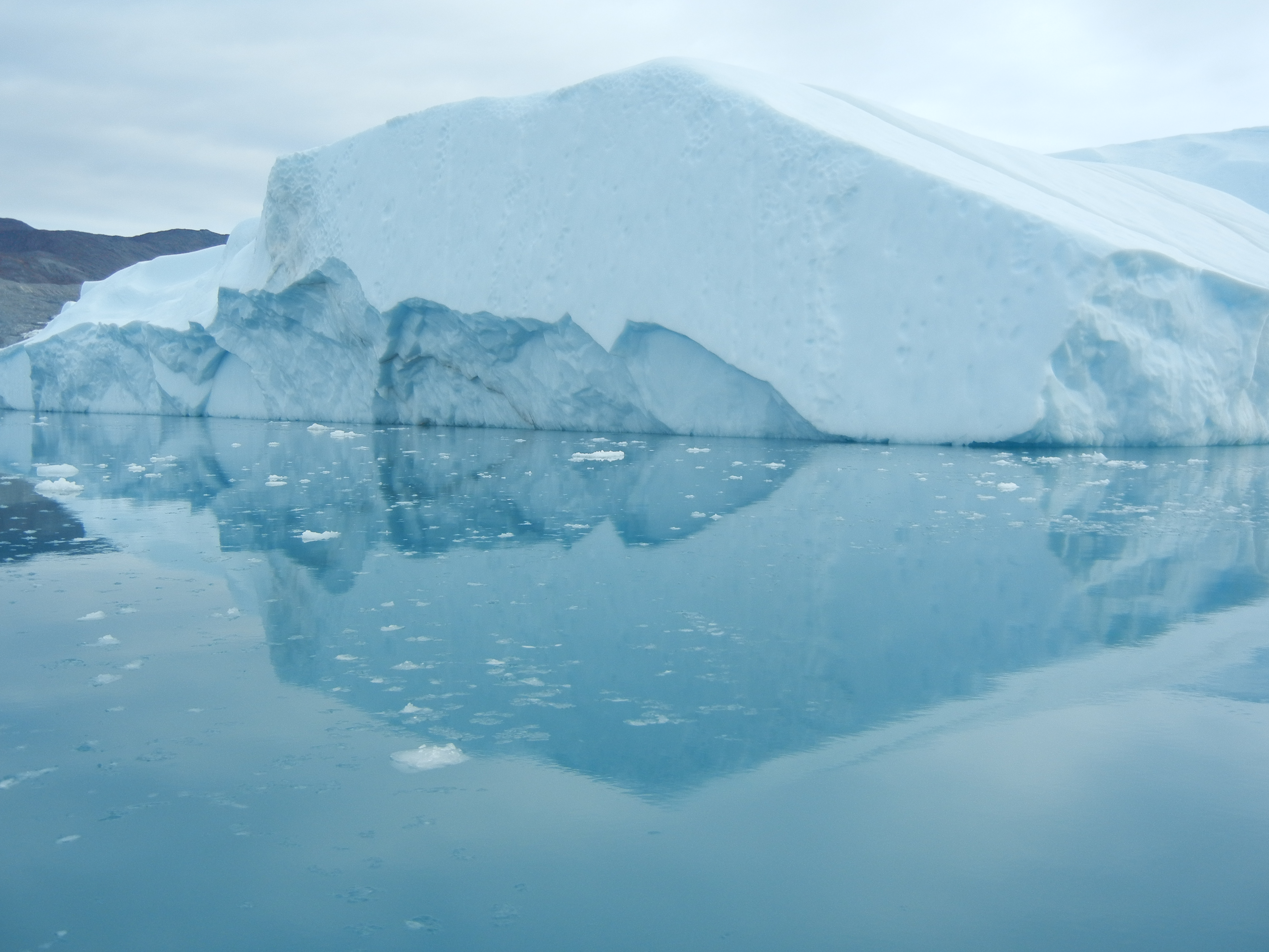
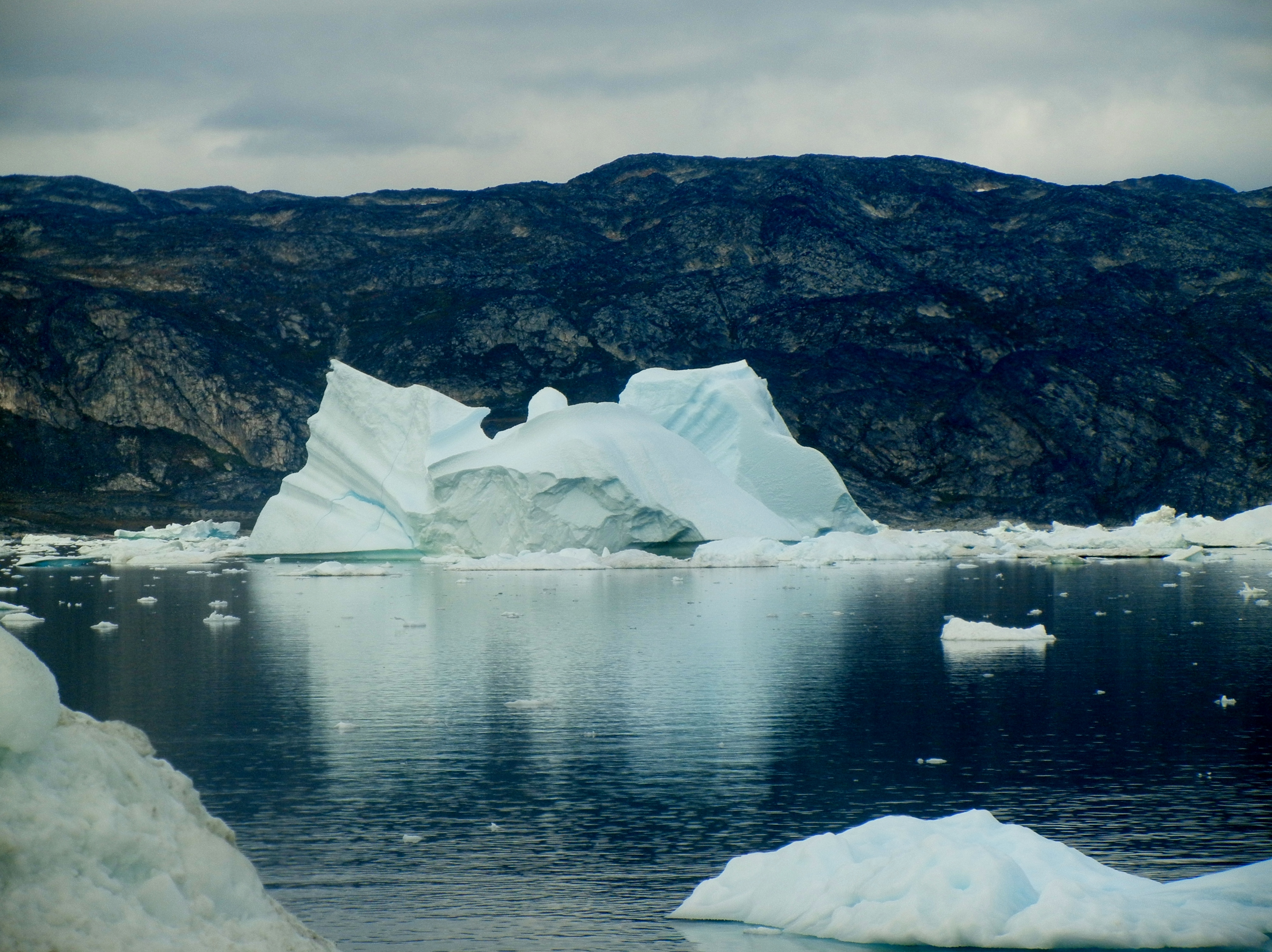
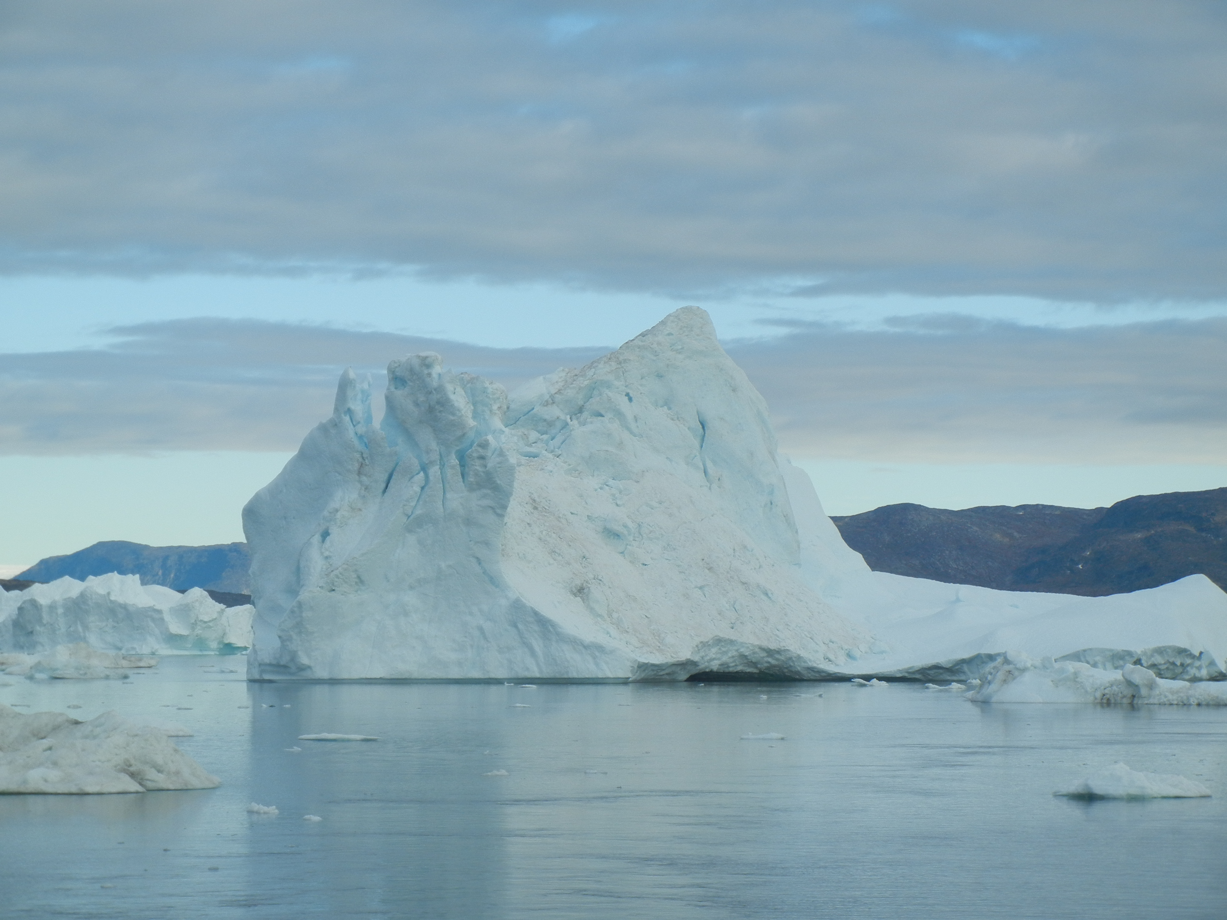
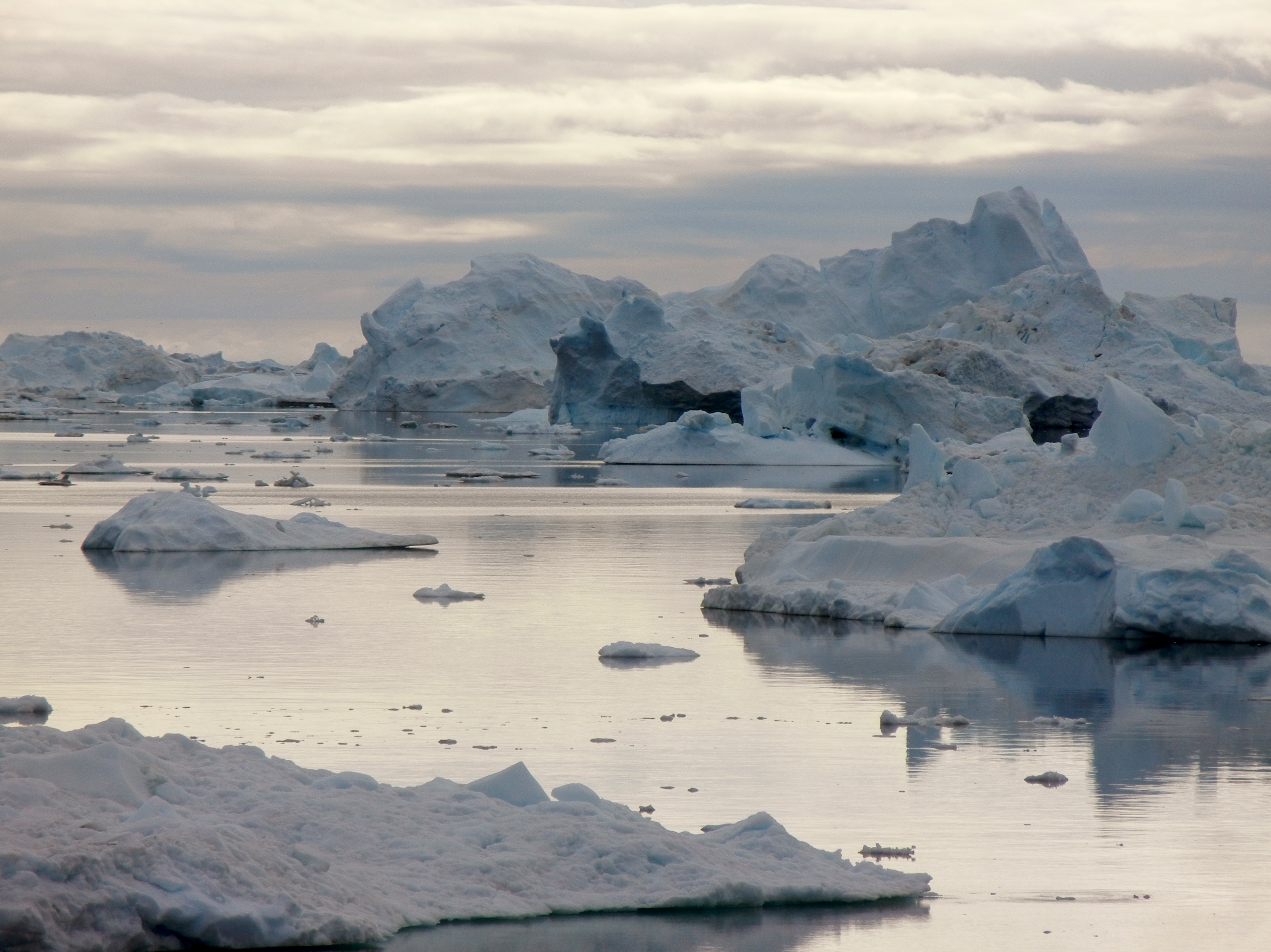
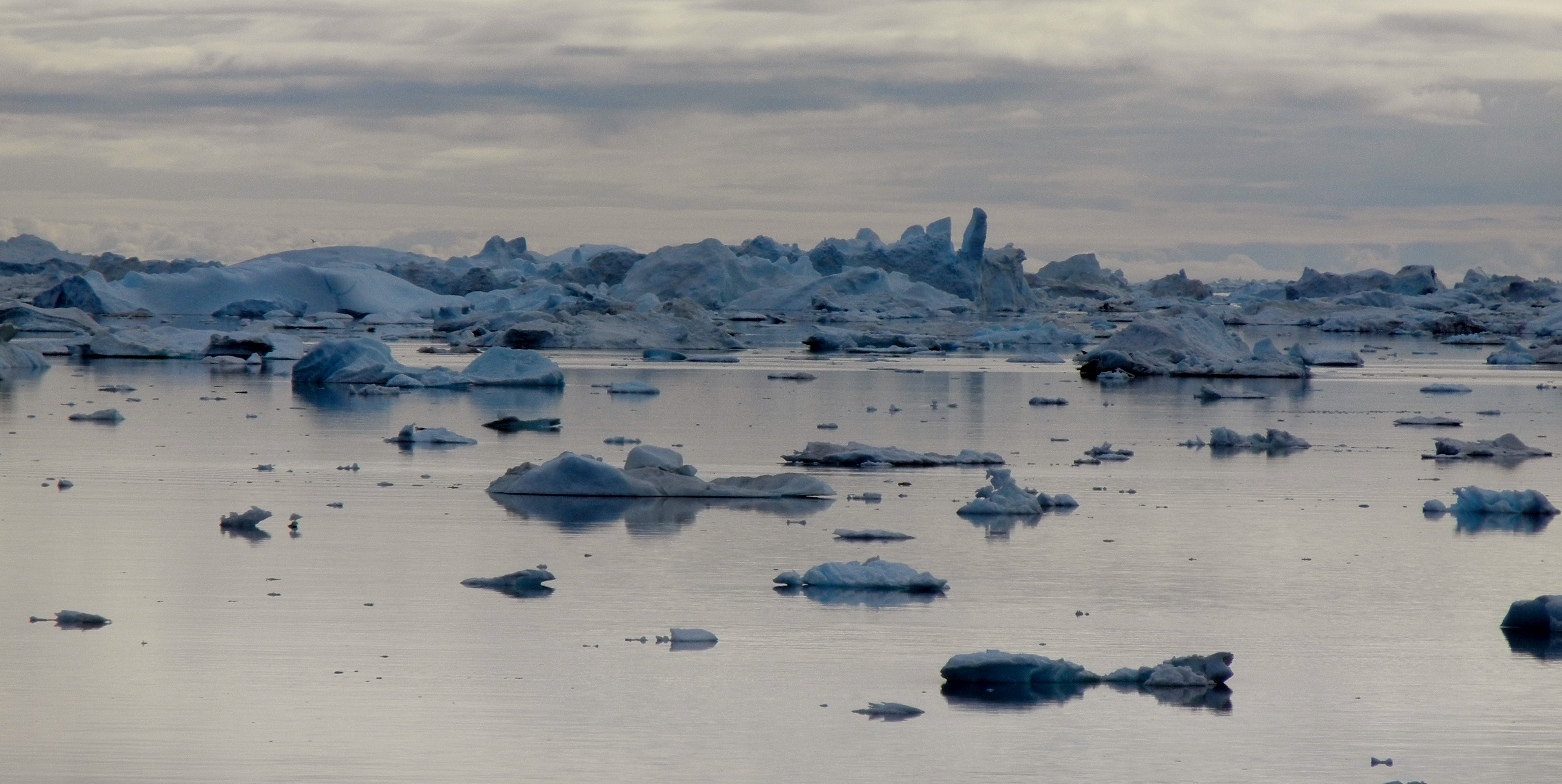
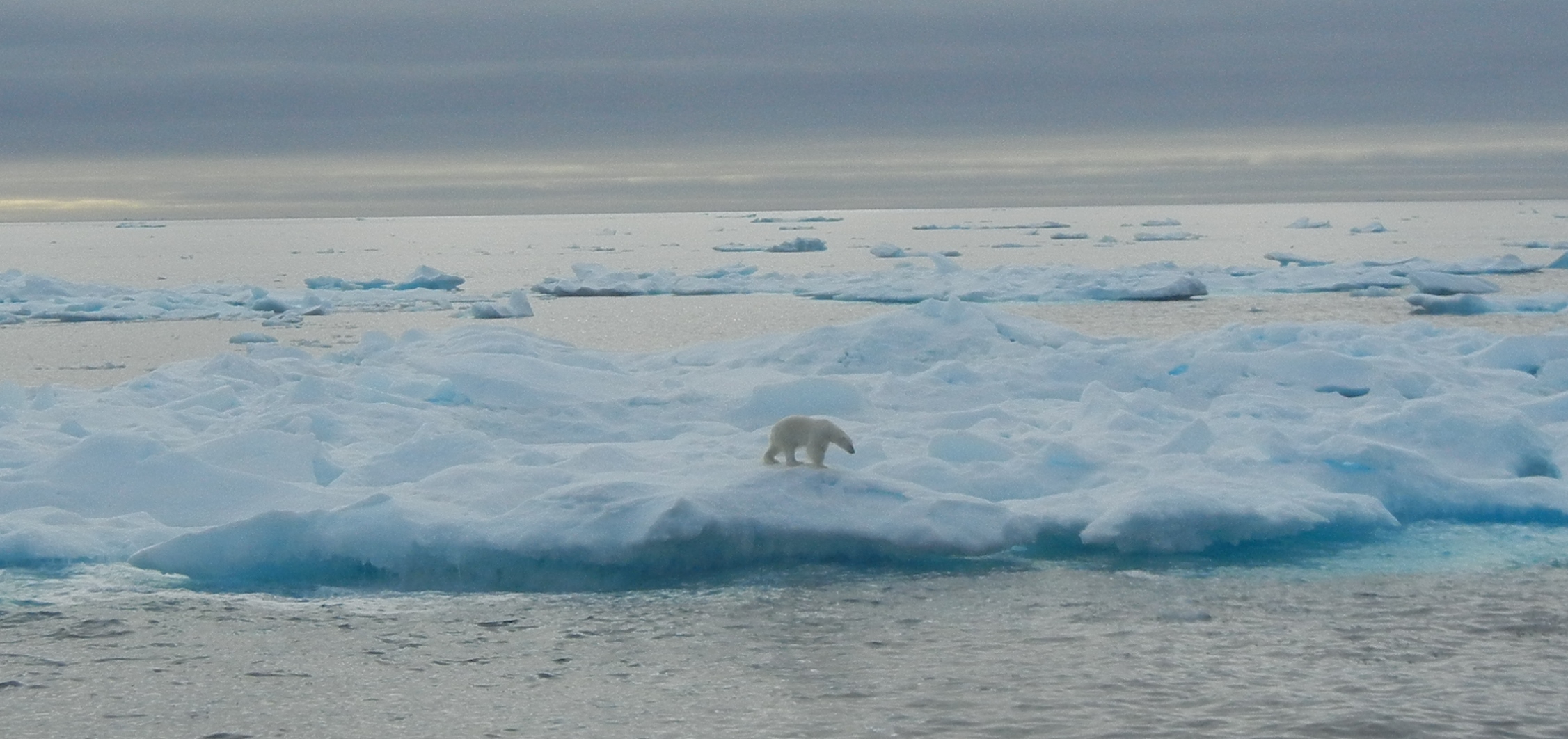
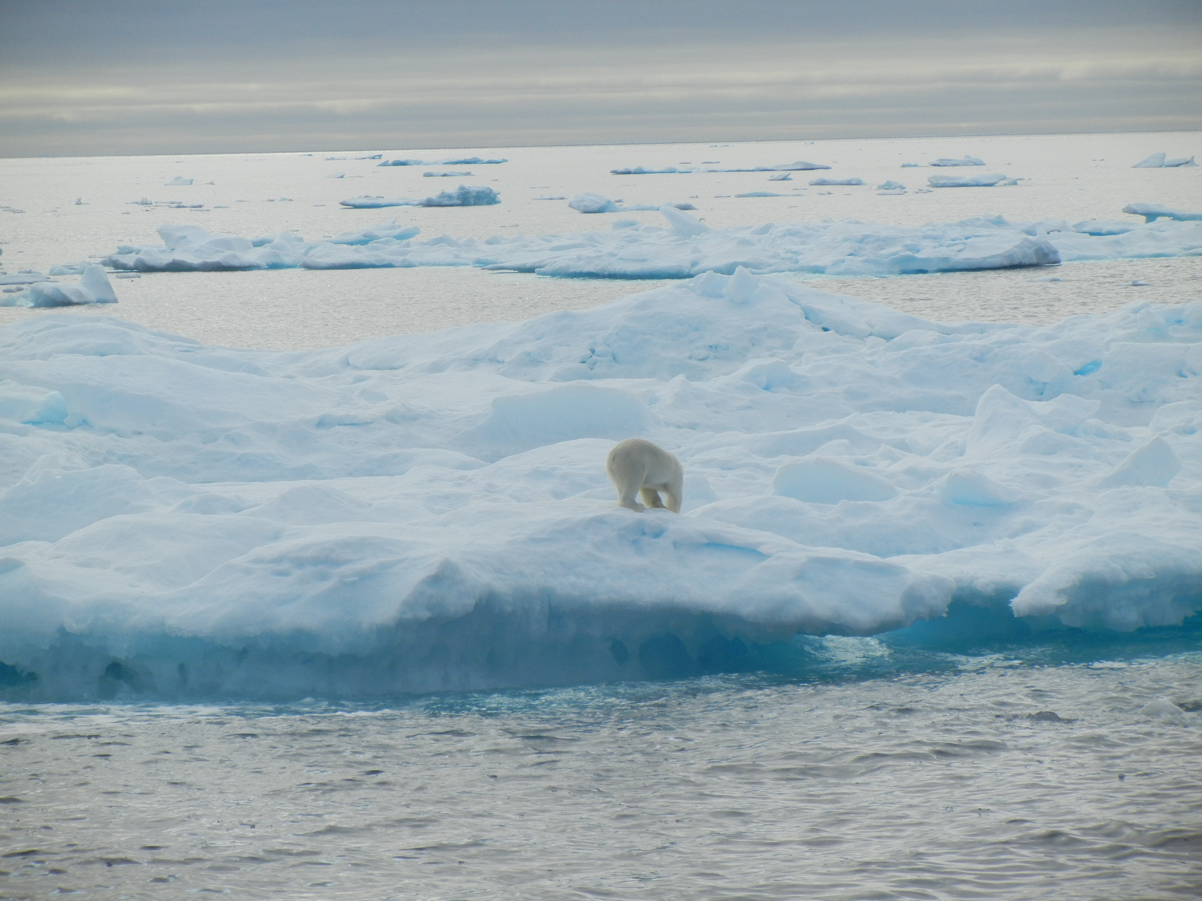
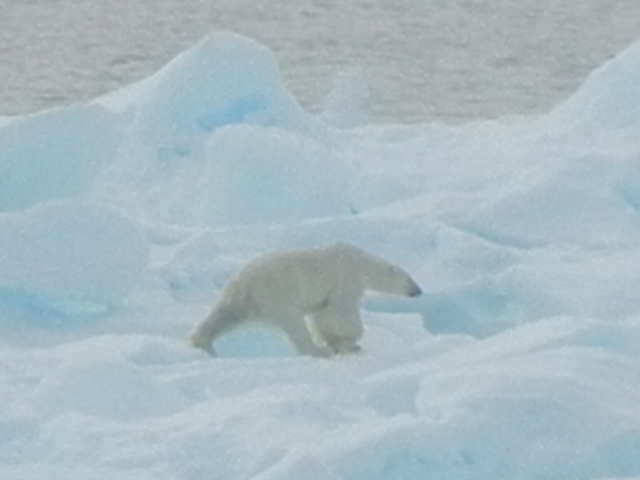
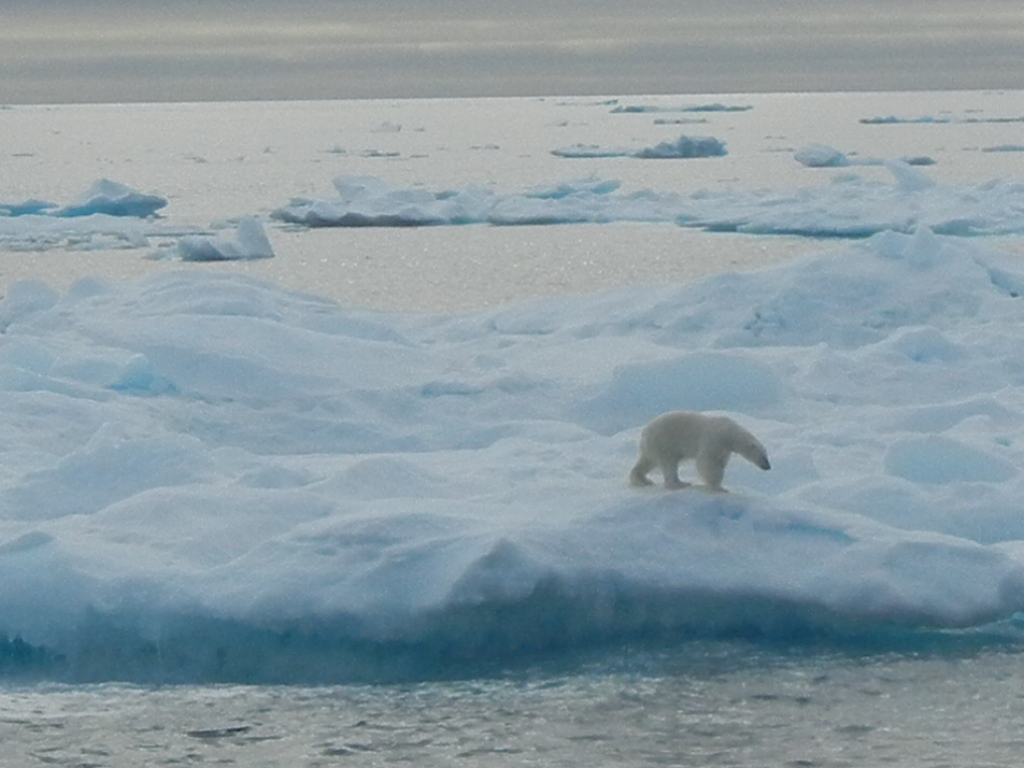
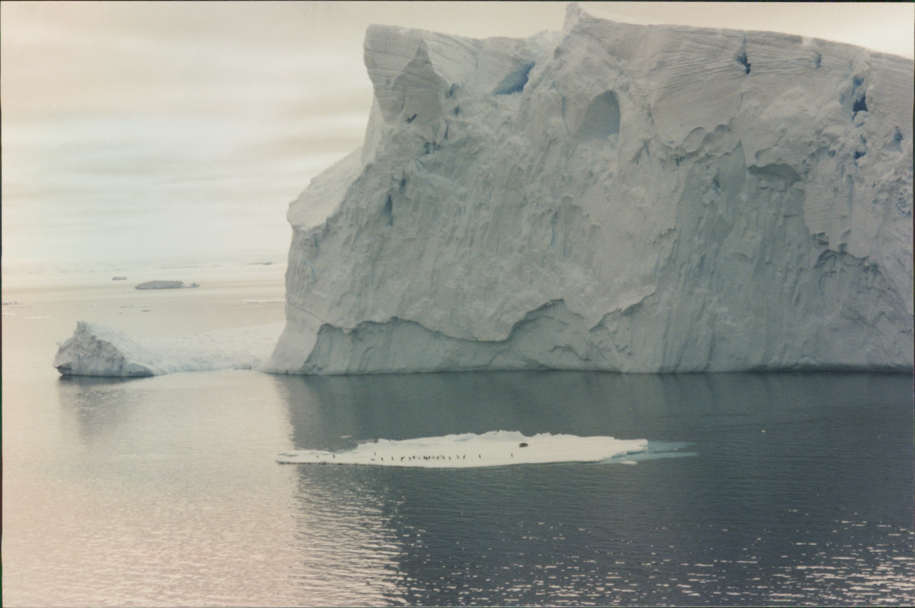
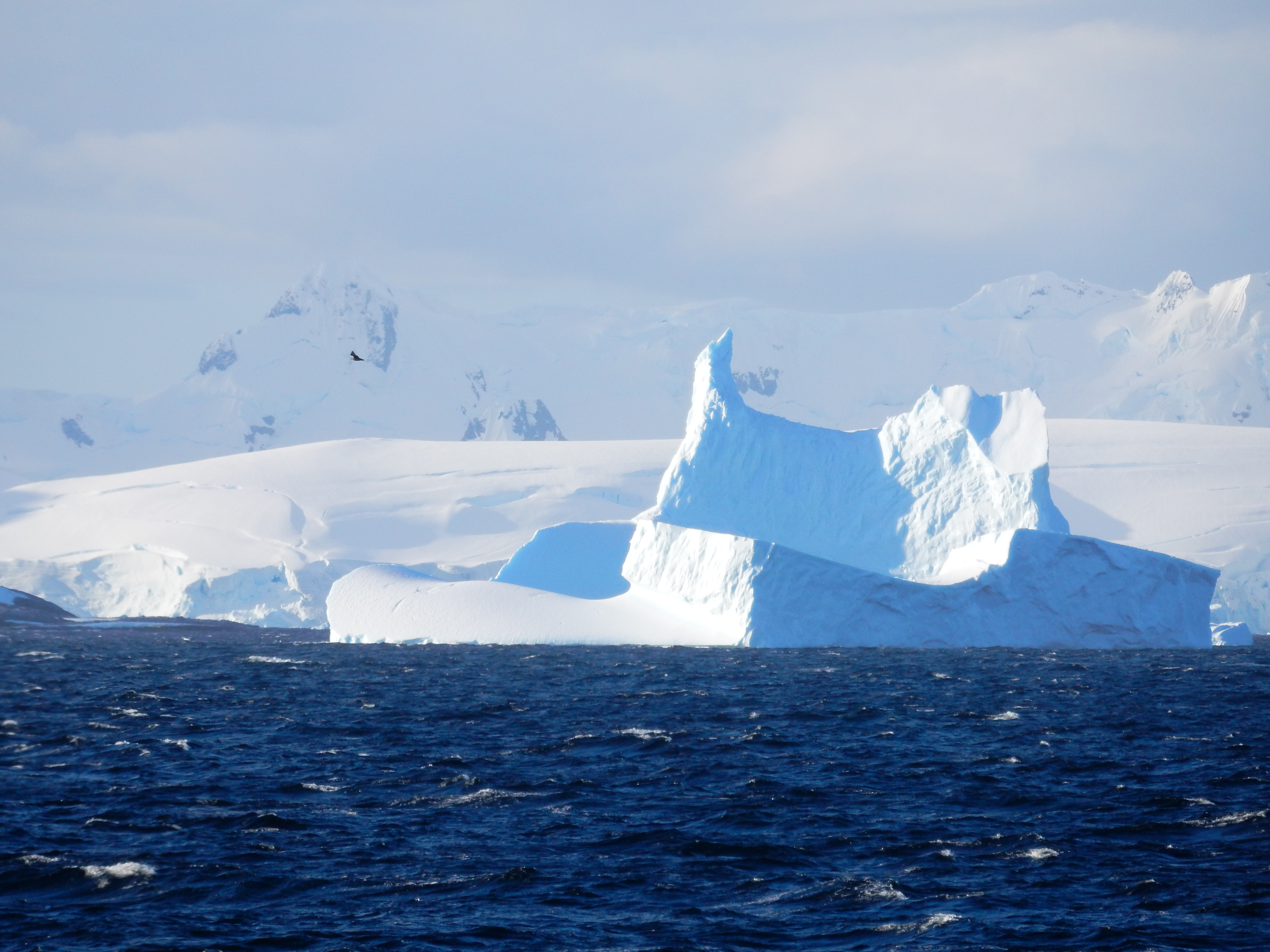
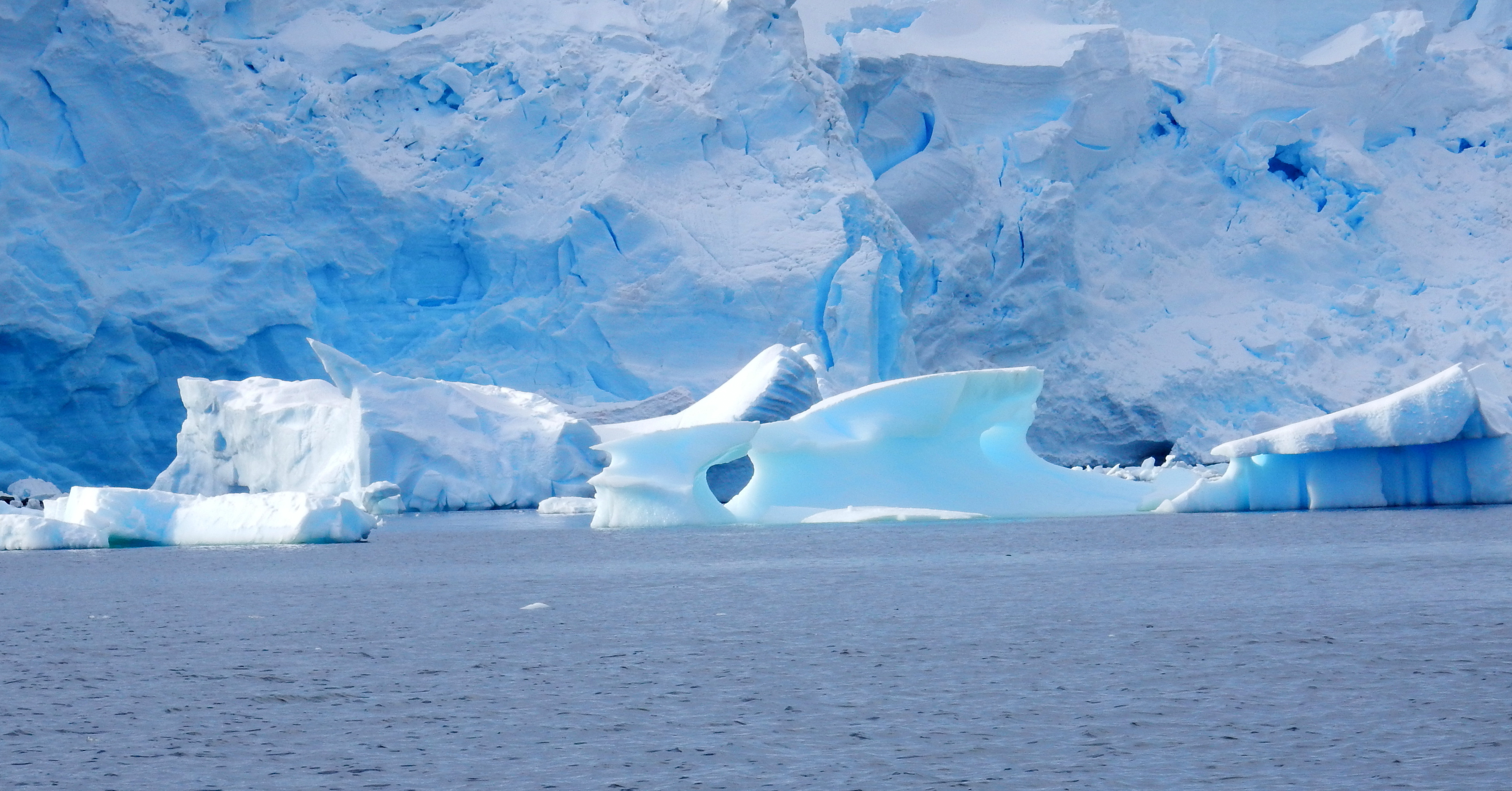
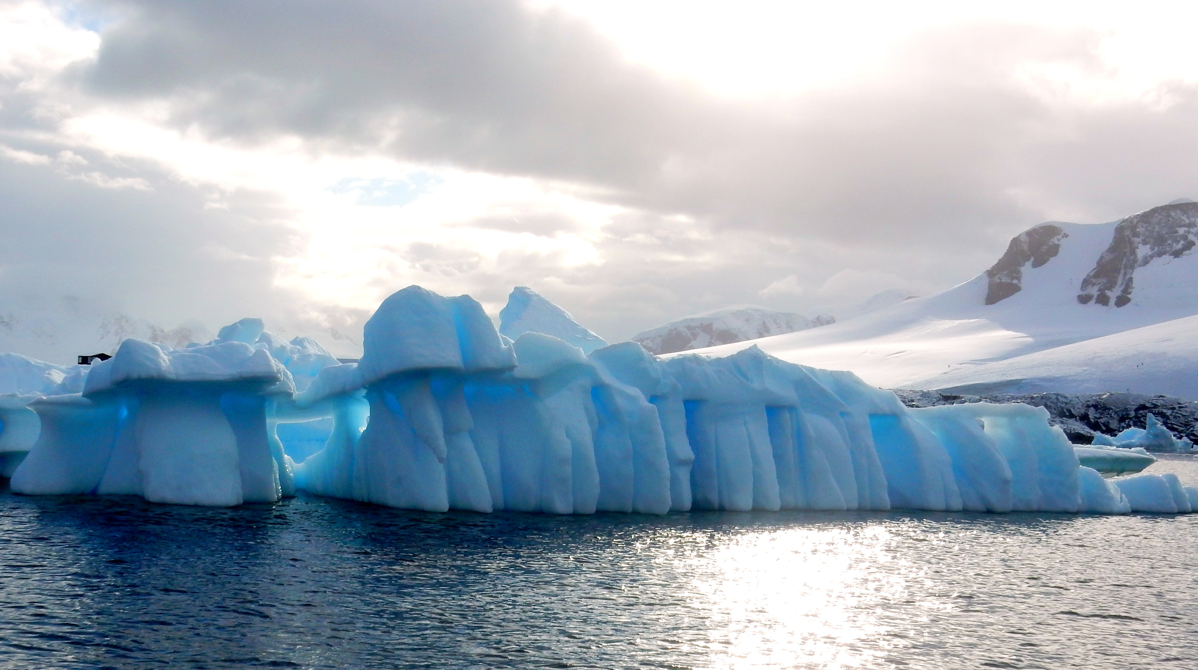
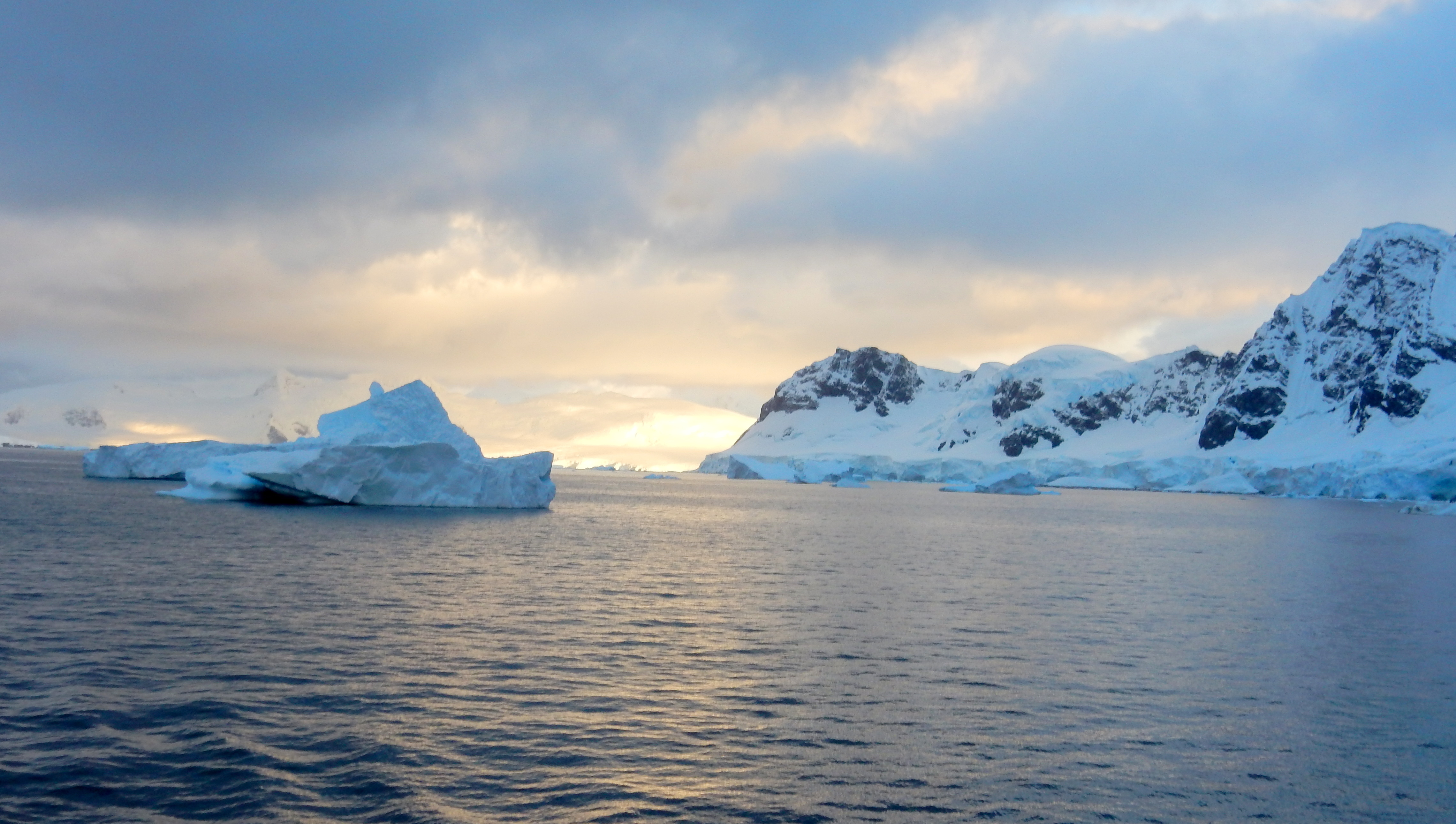
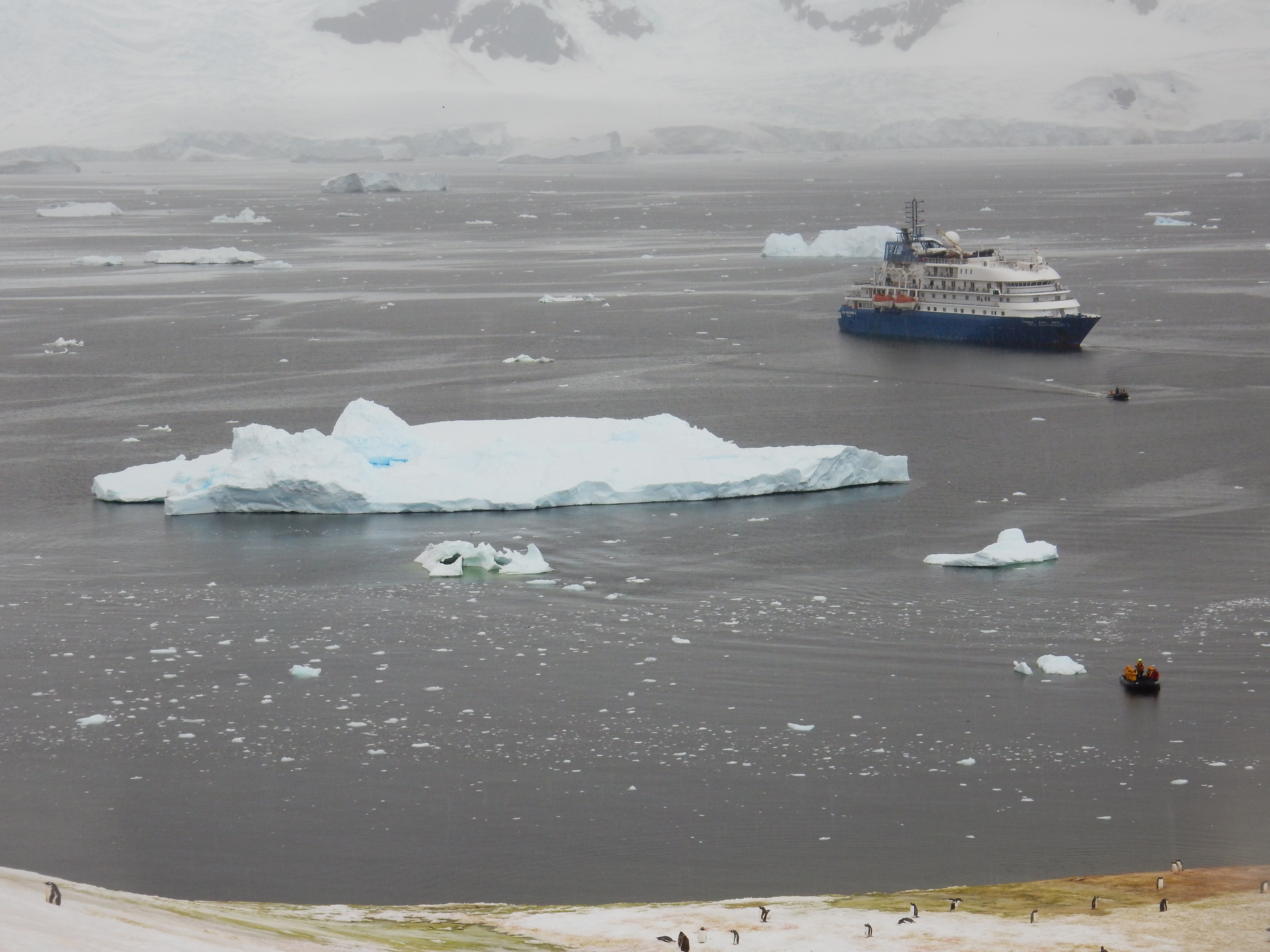
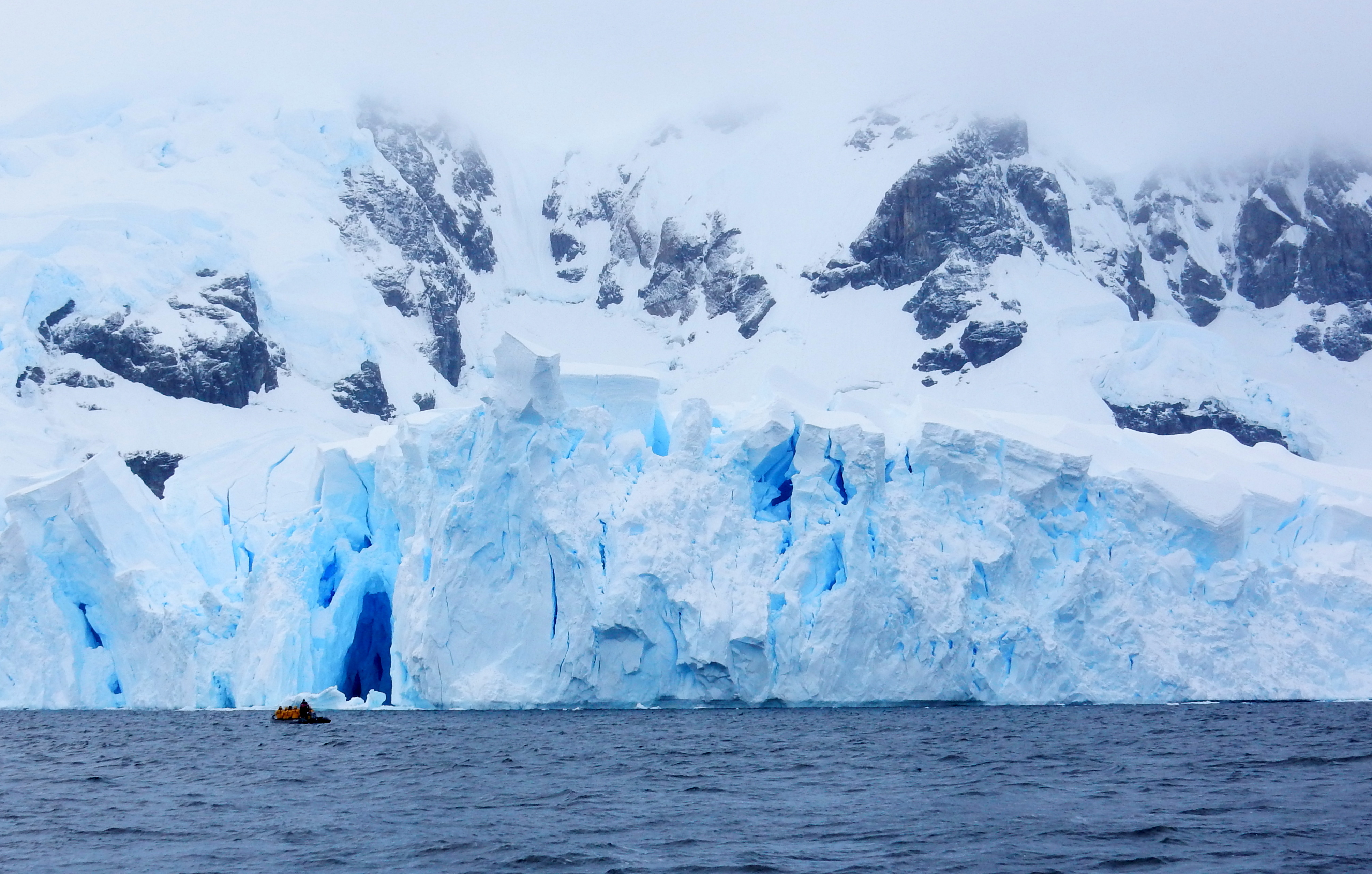
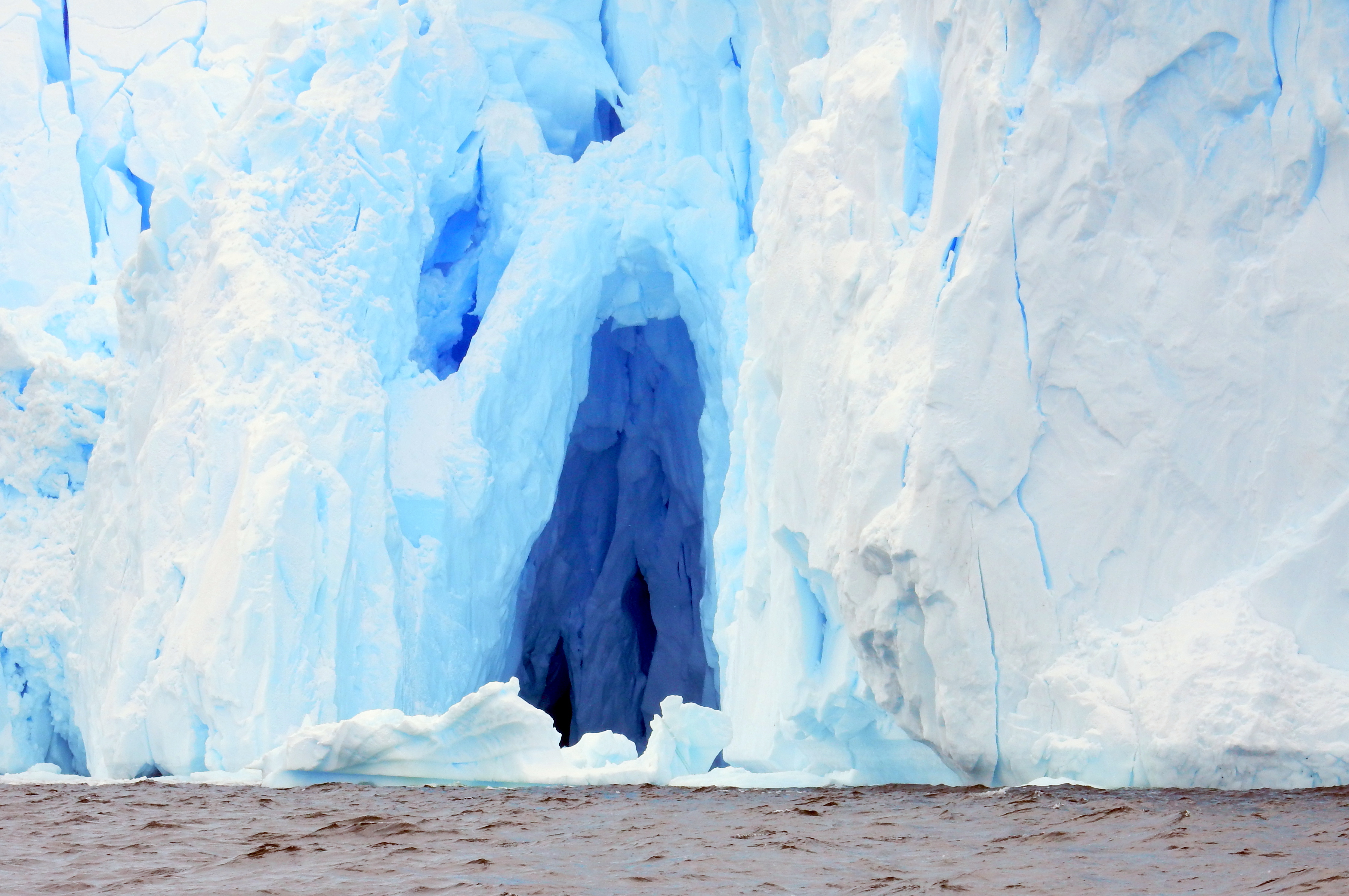
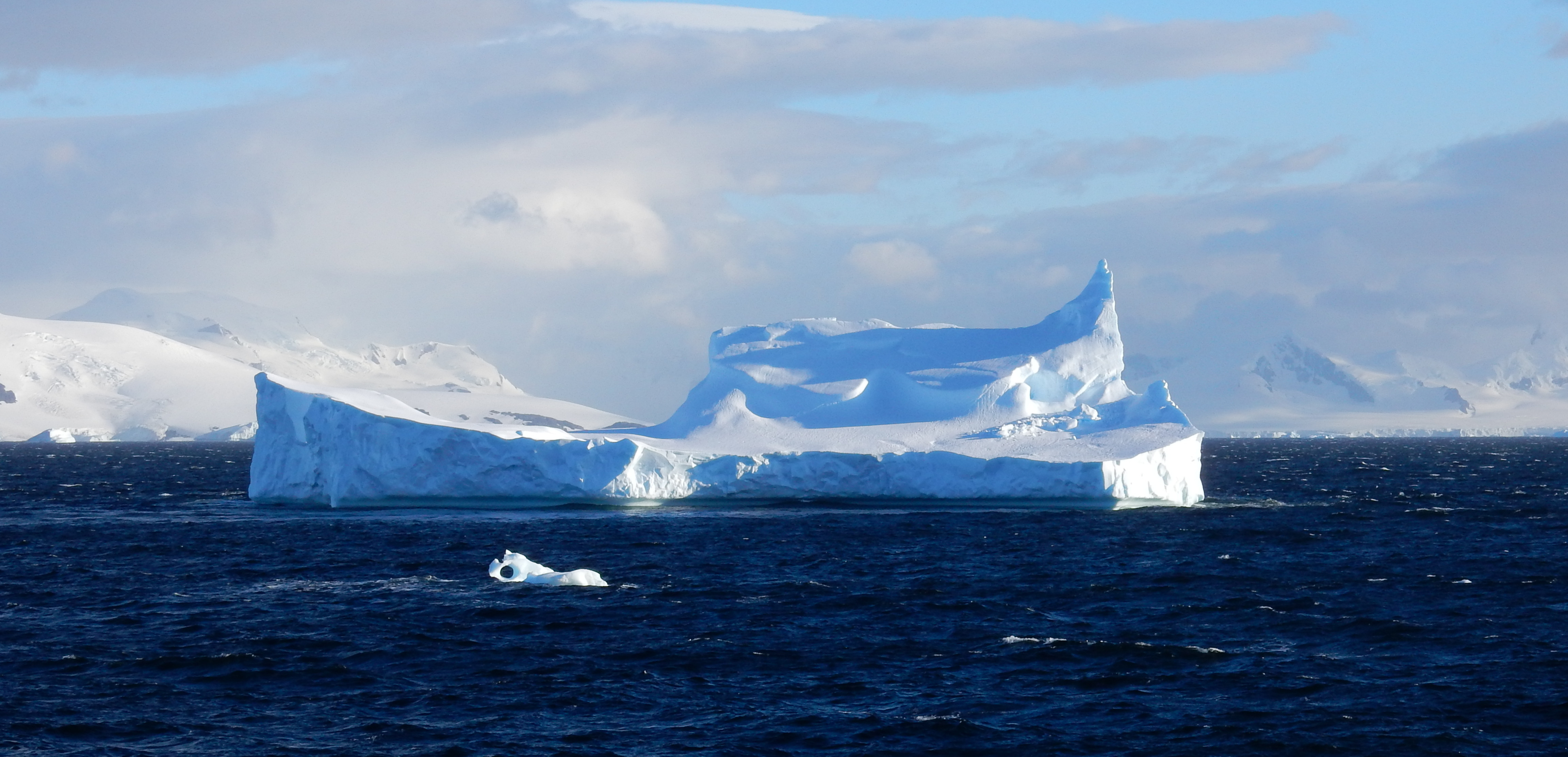
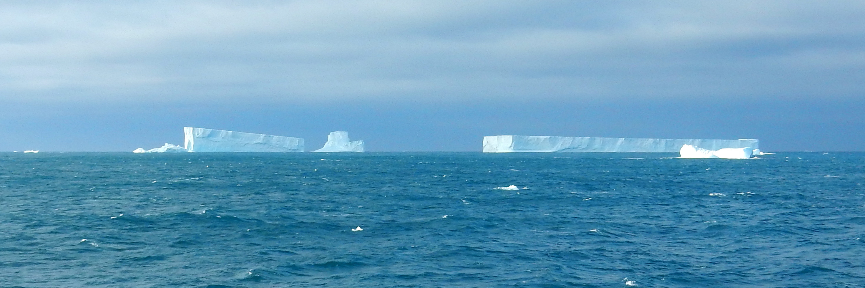
Icebergs
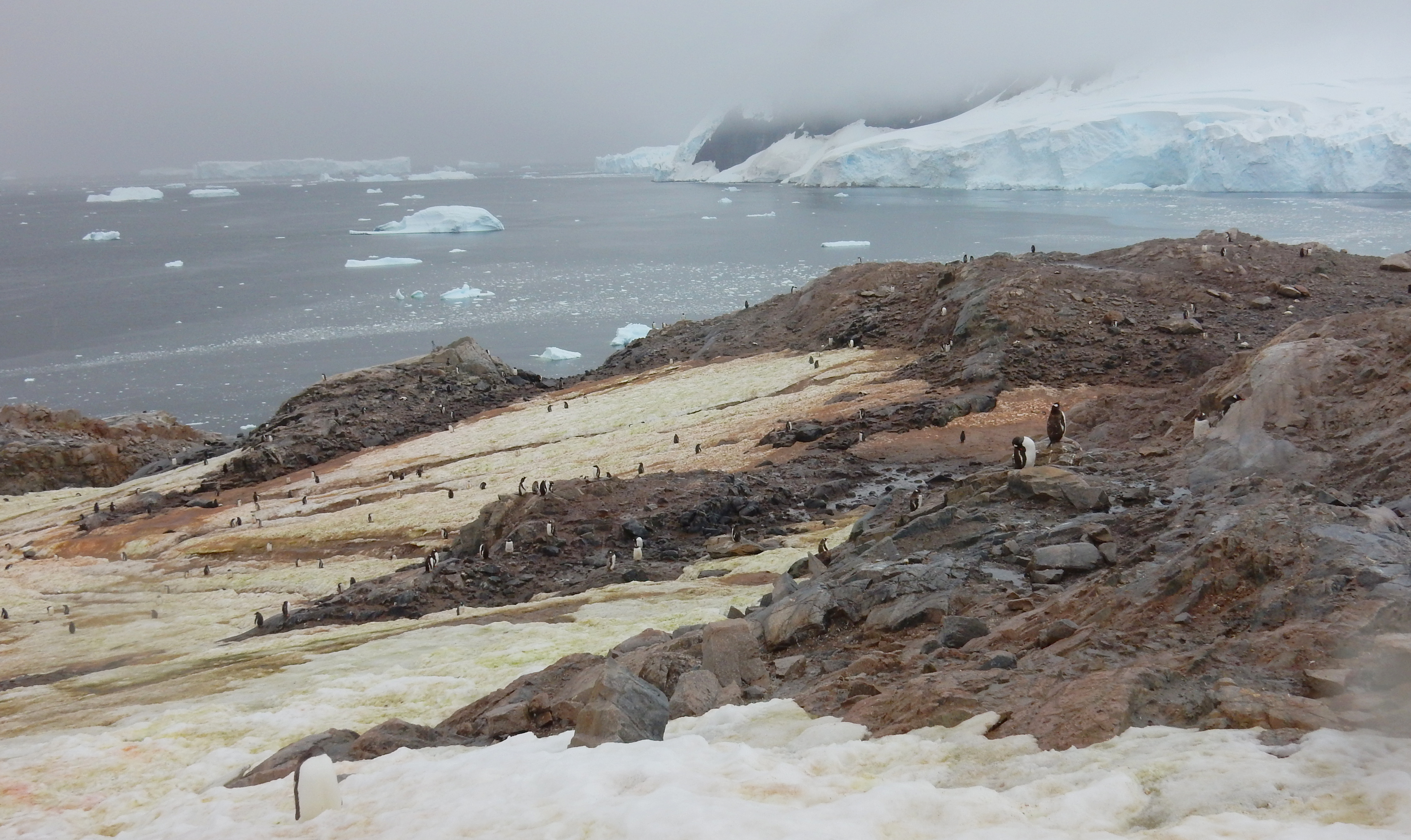
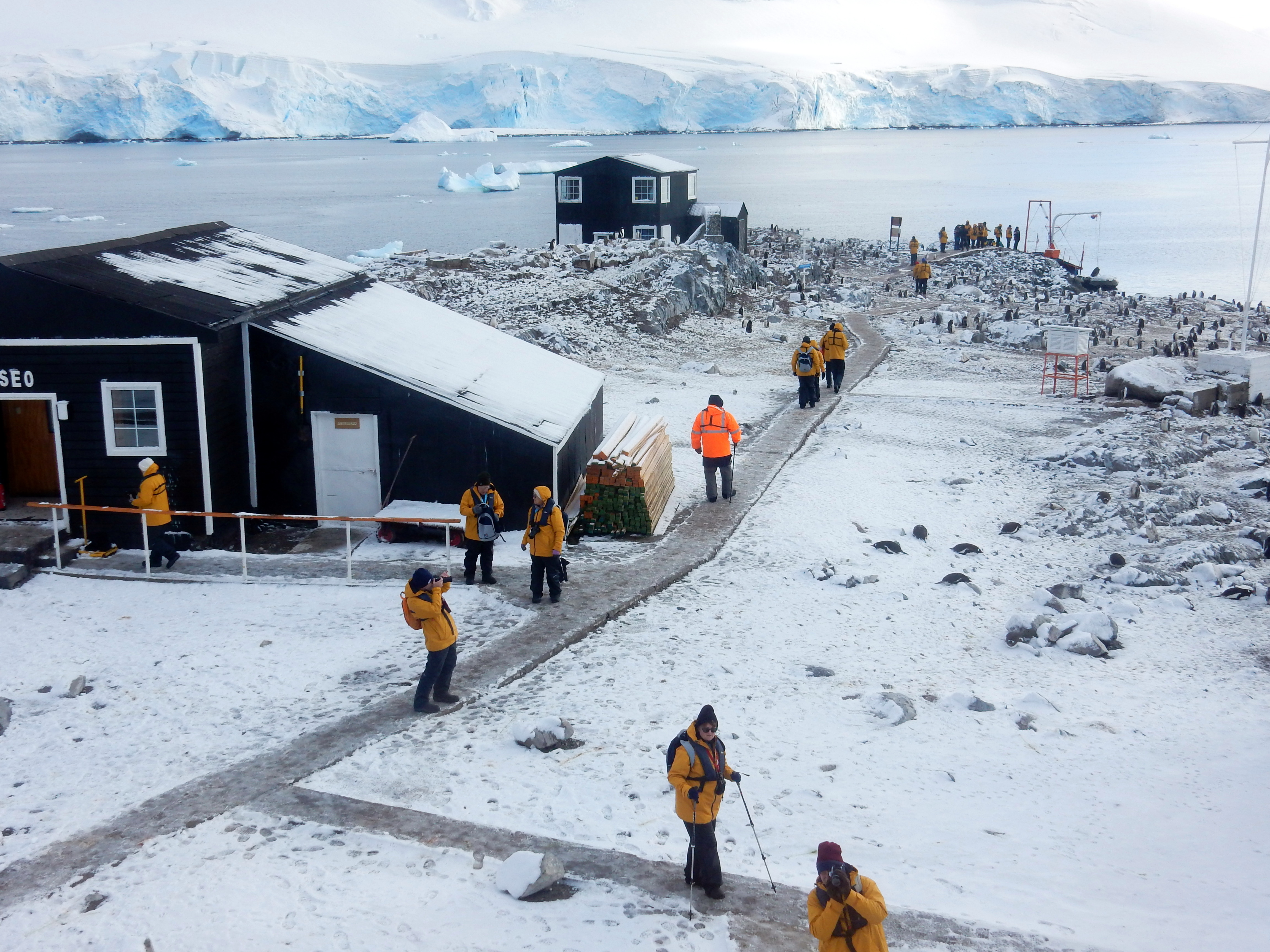
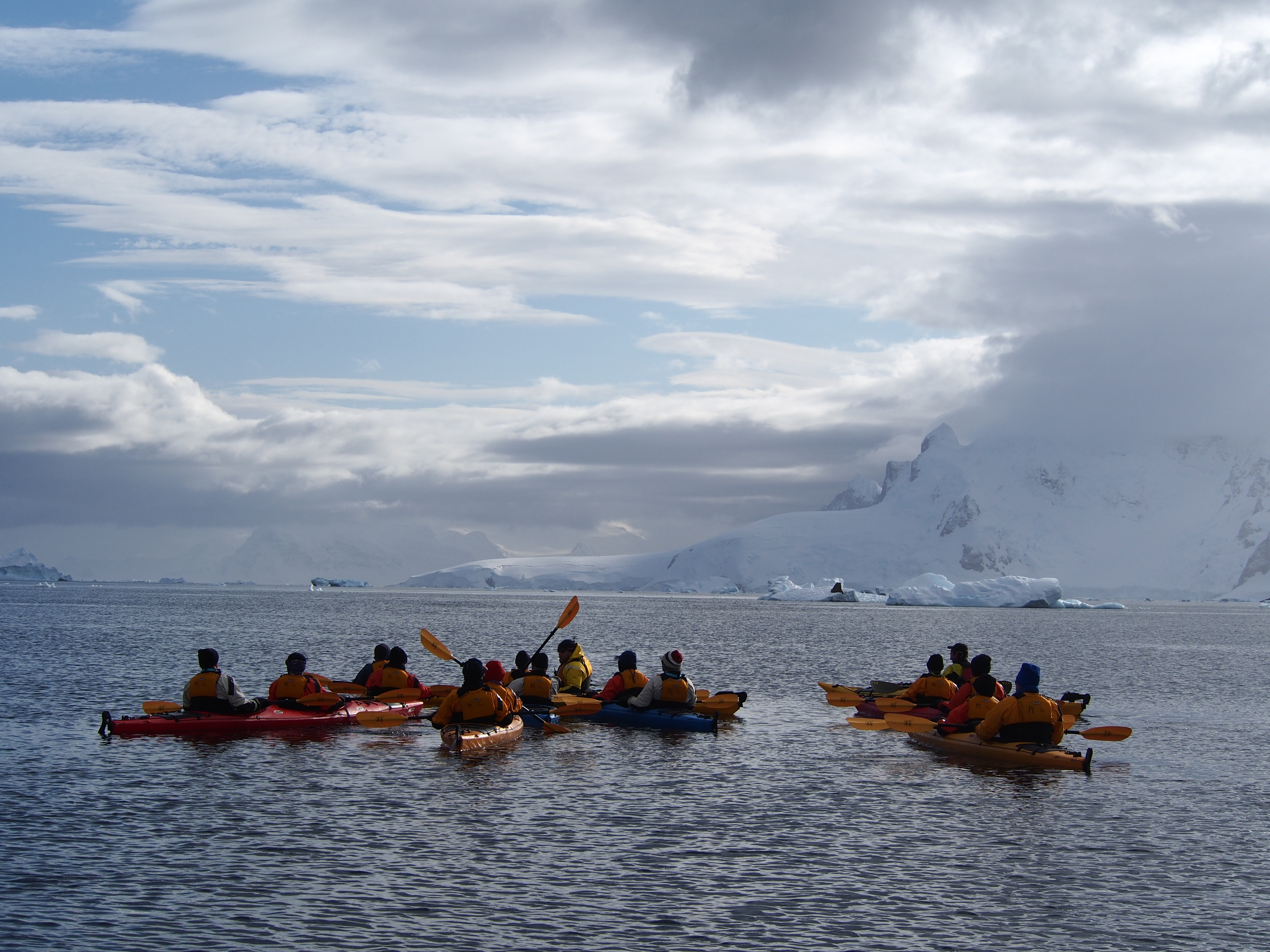
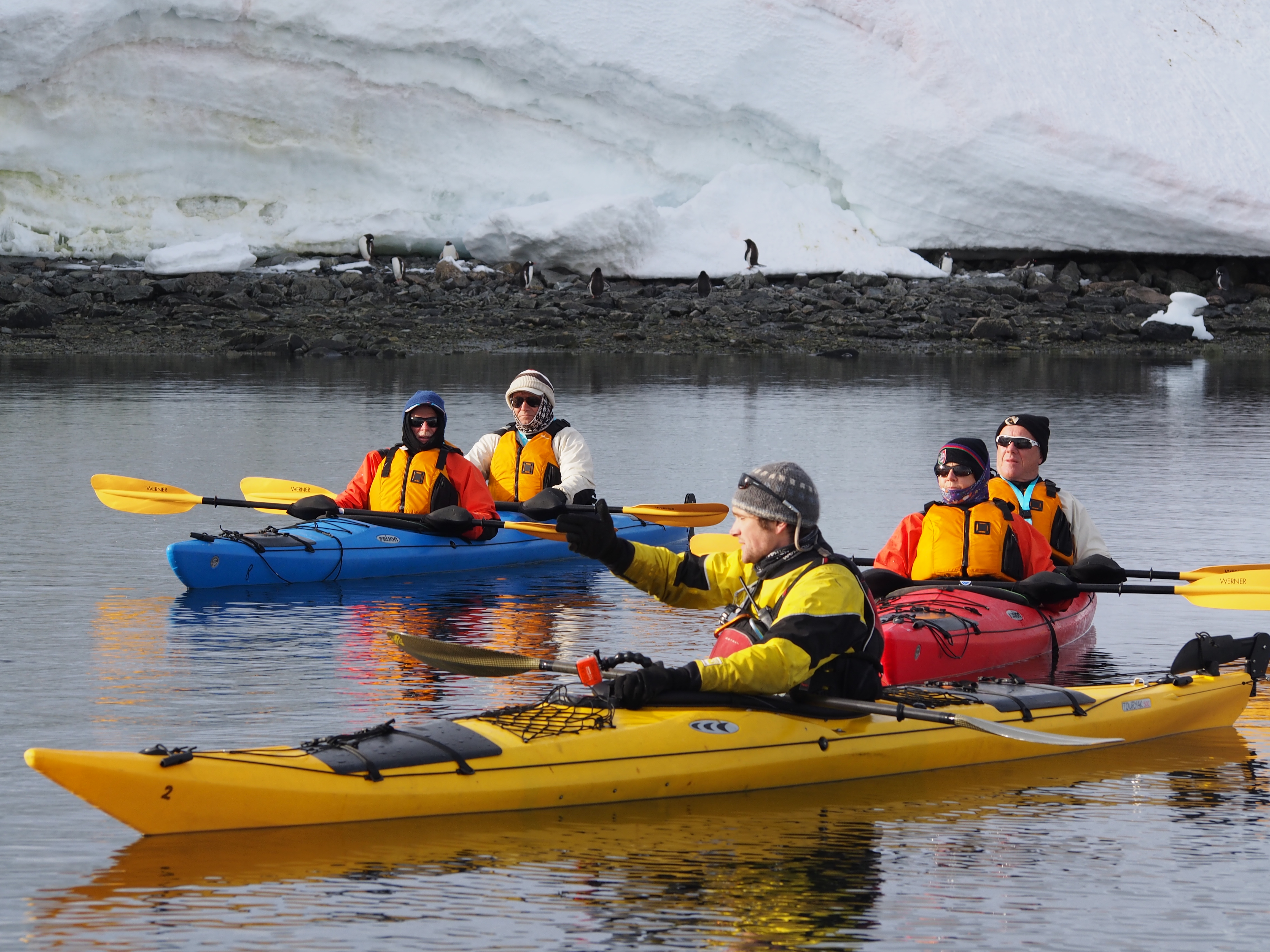
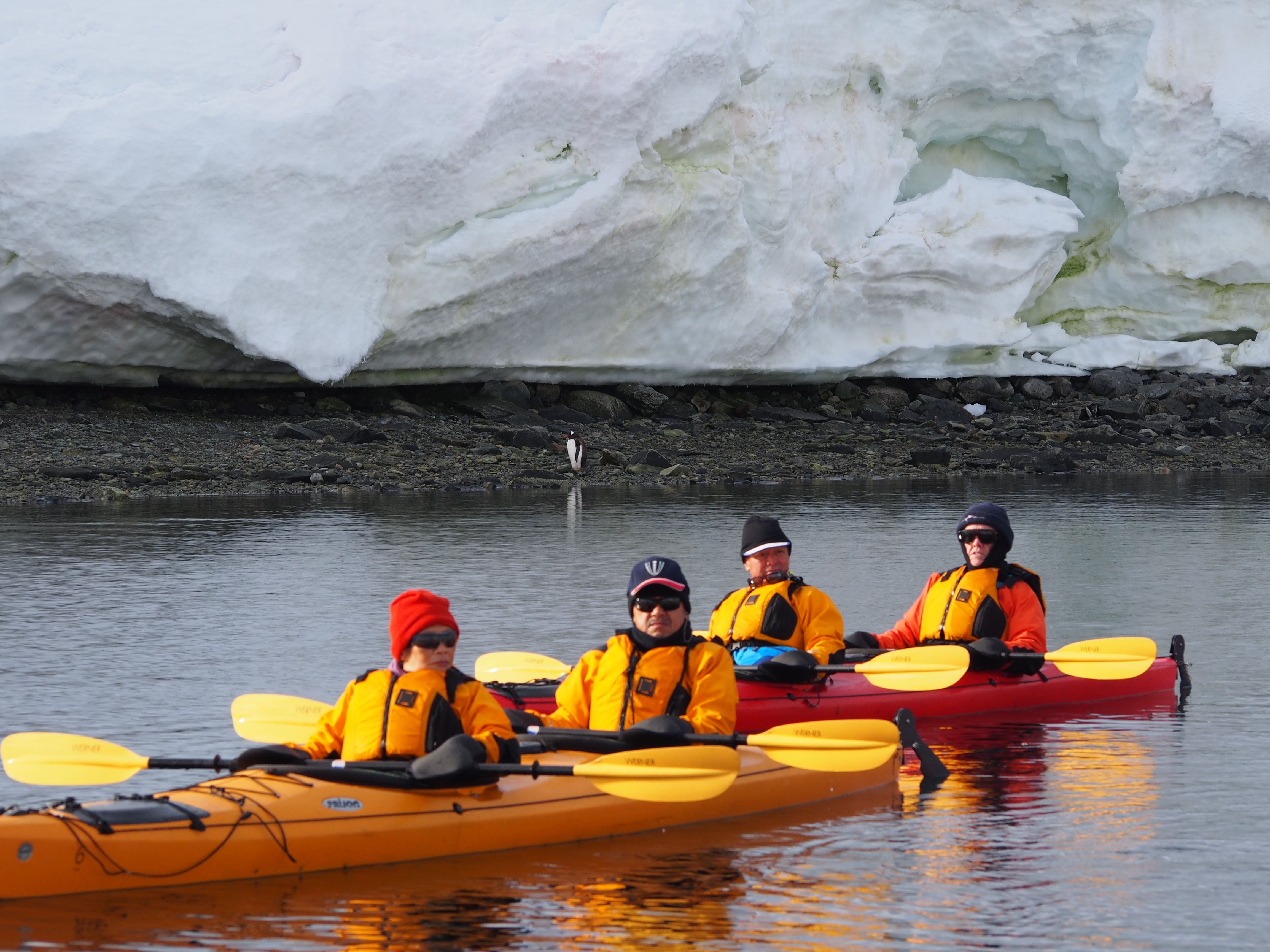
Paradise Bay-Antarctica
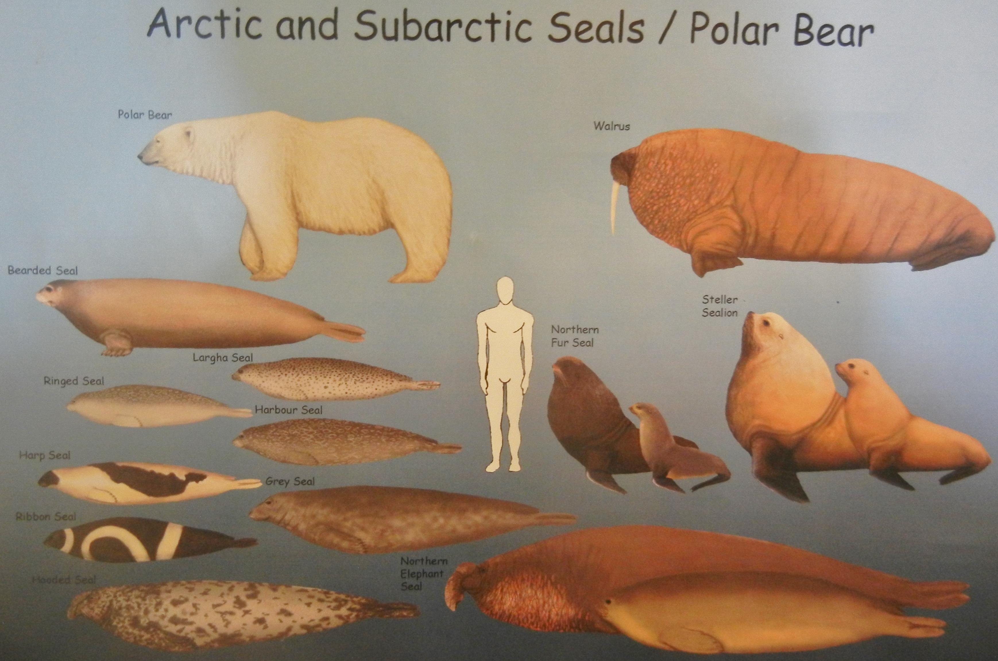
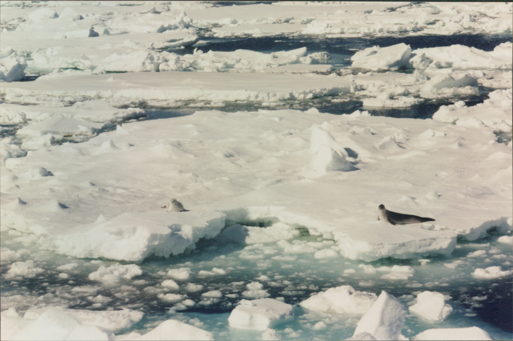
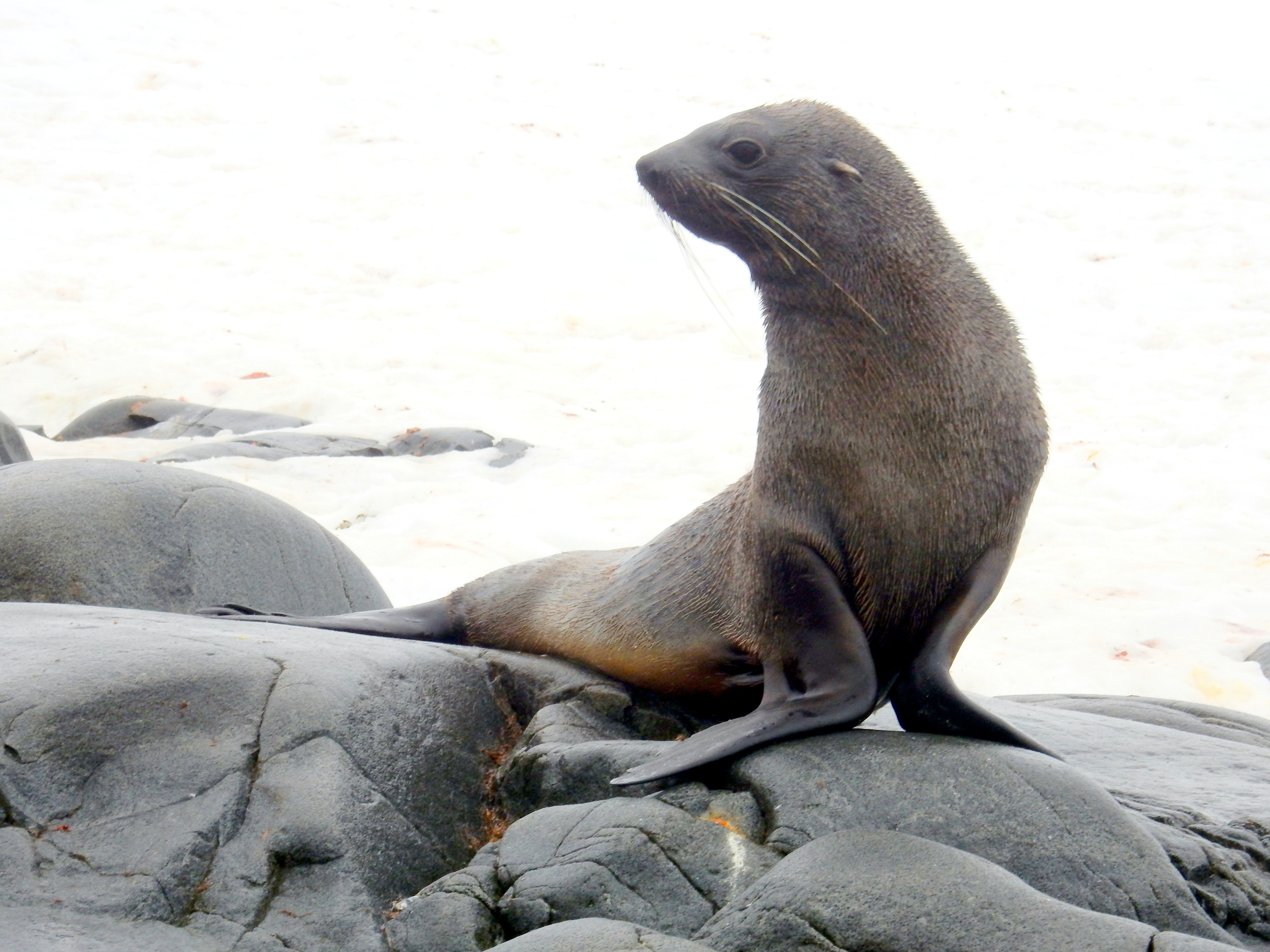
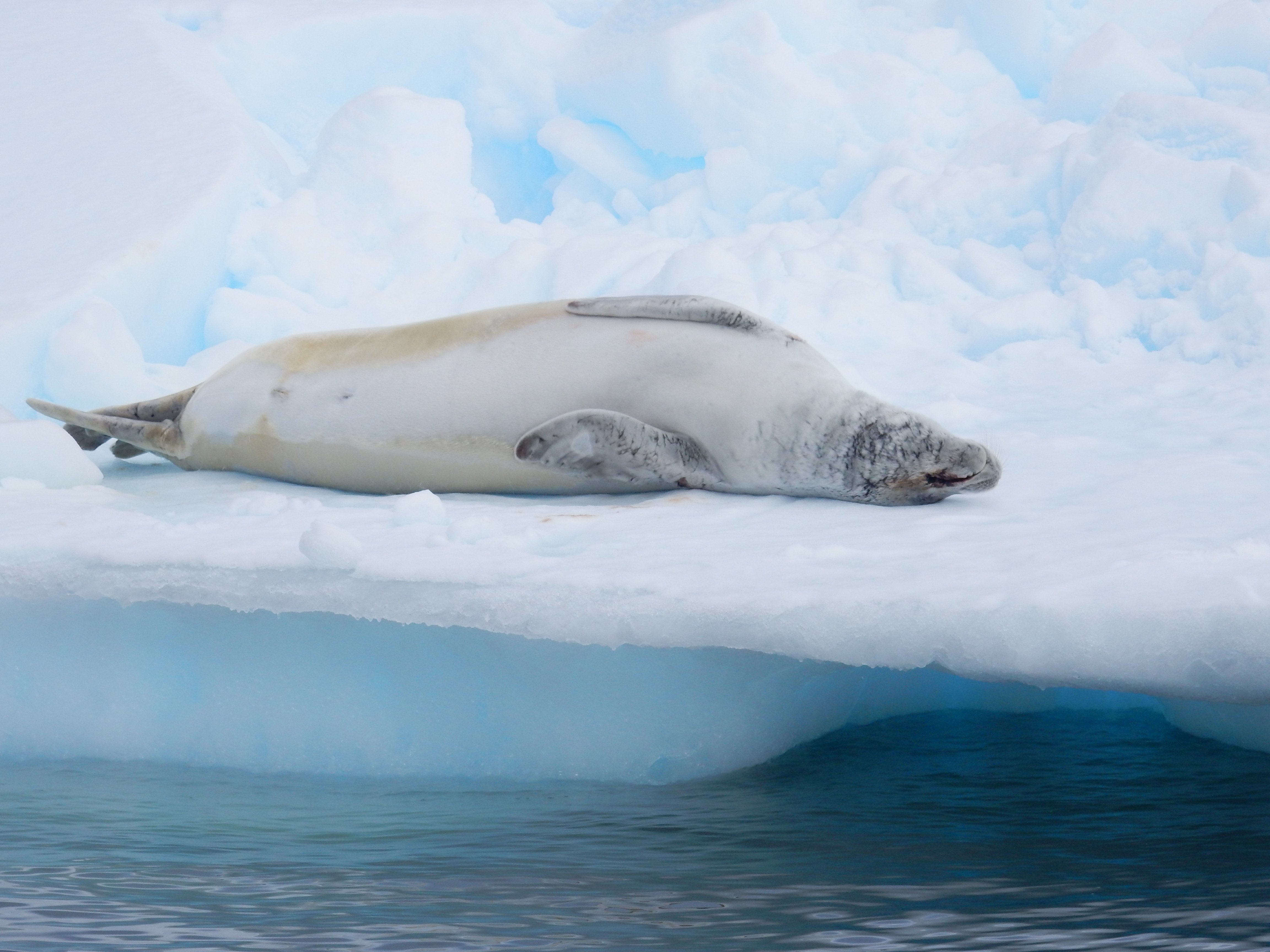
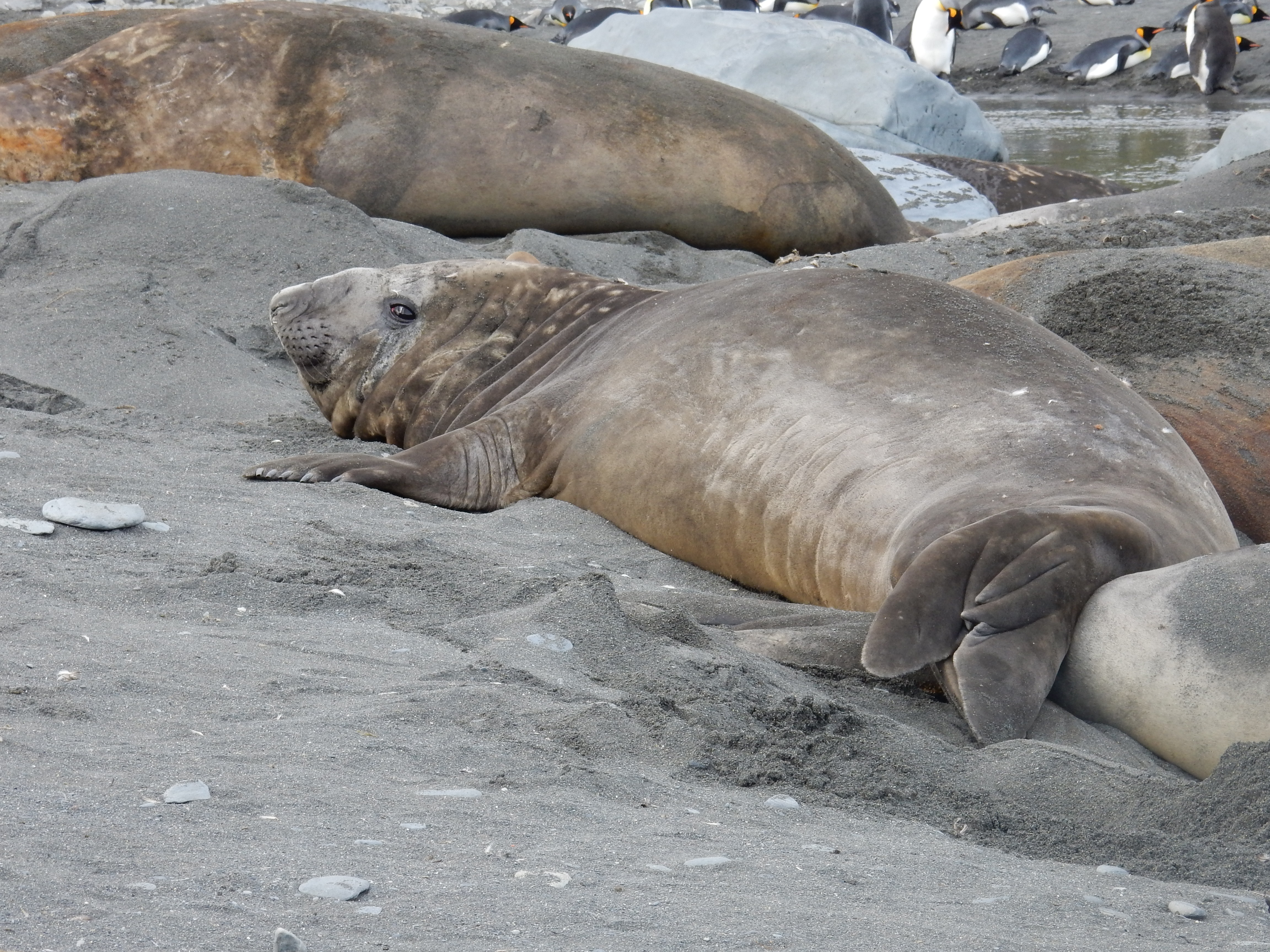
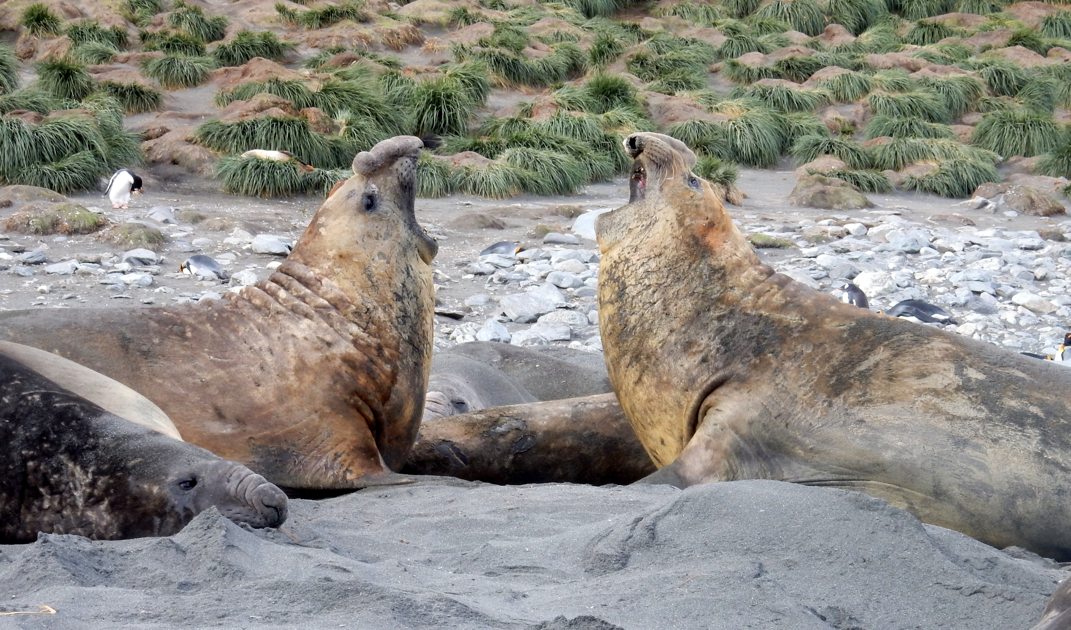
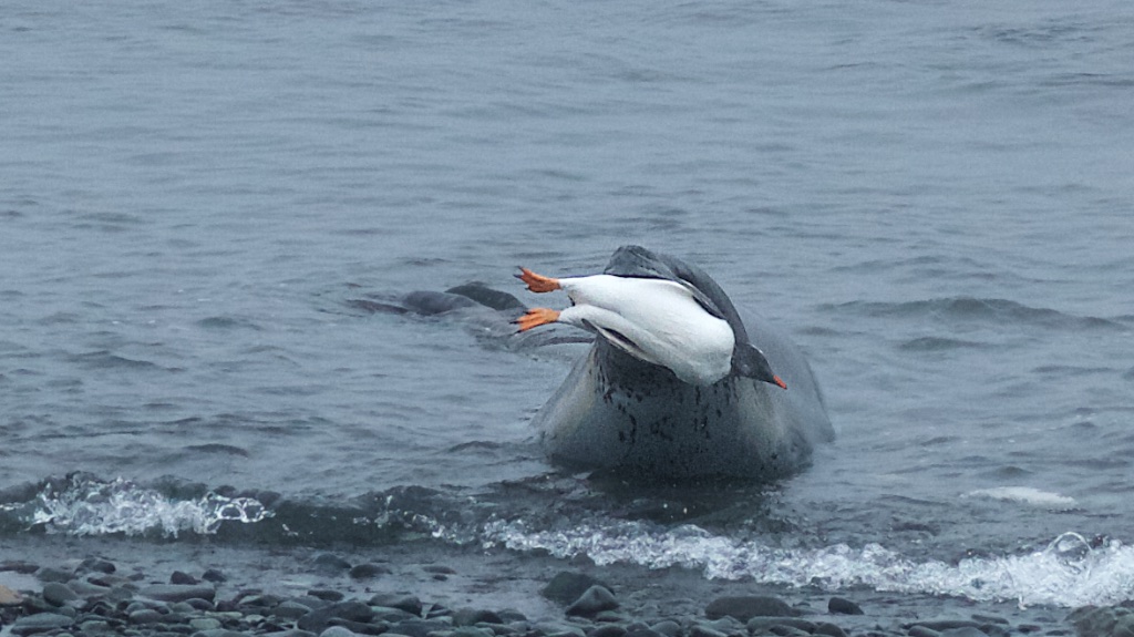
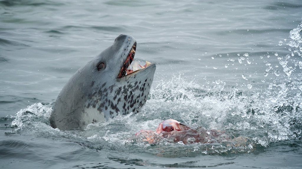
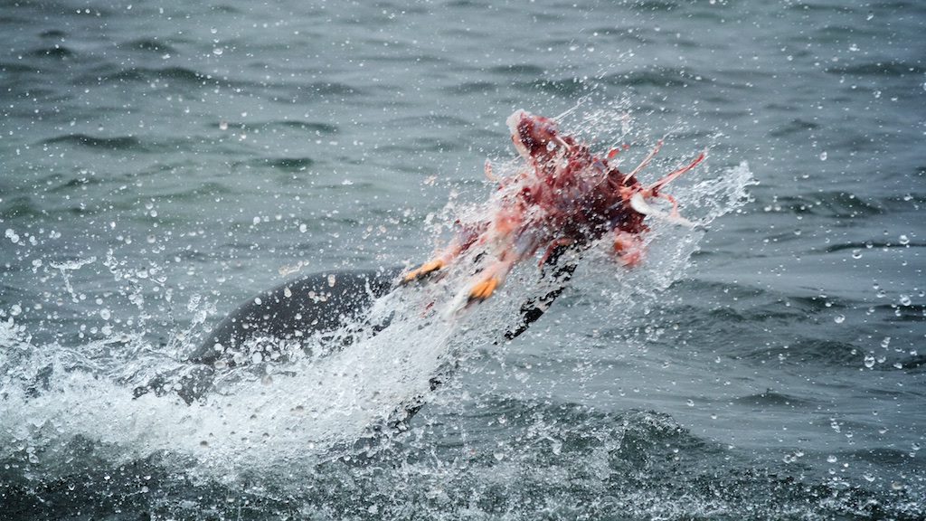
Seals-
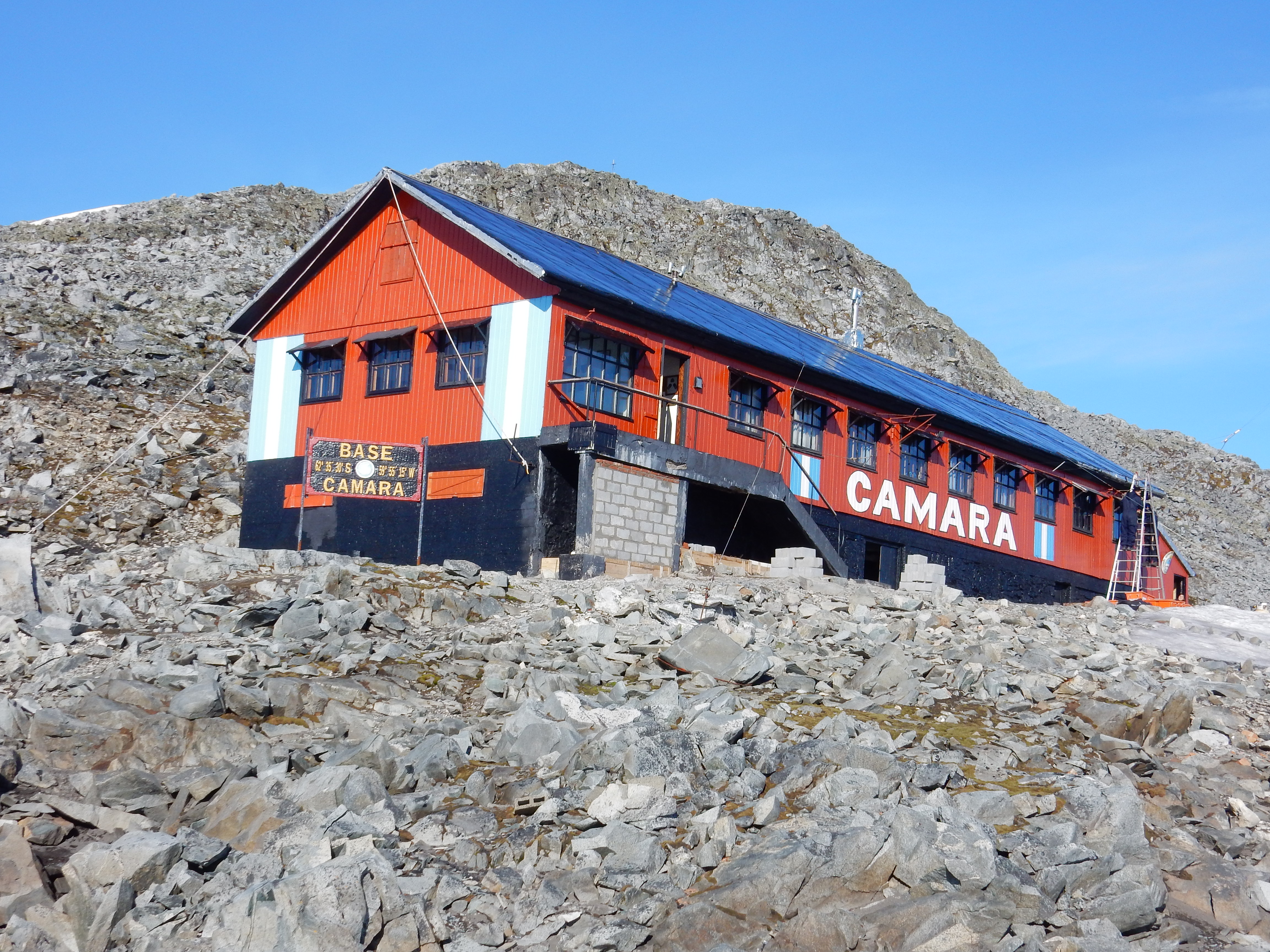
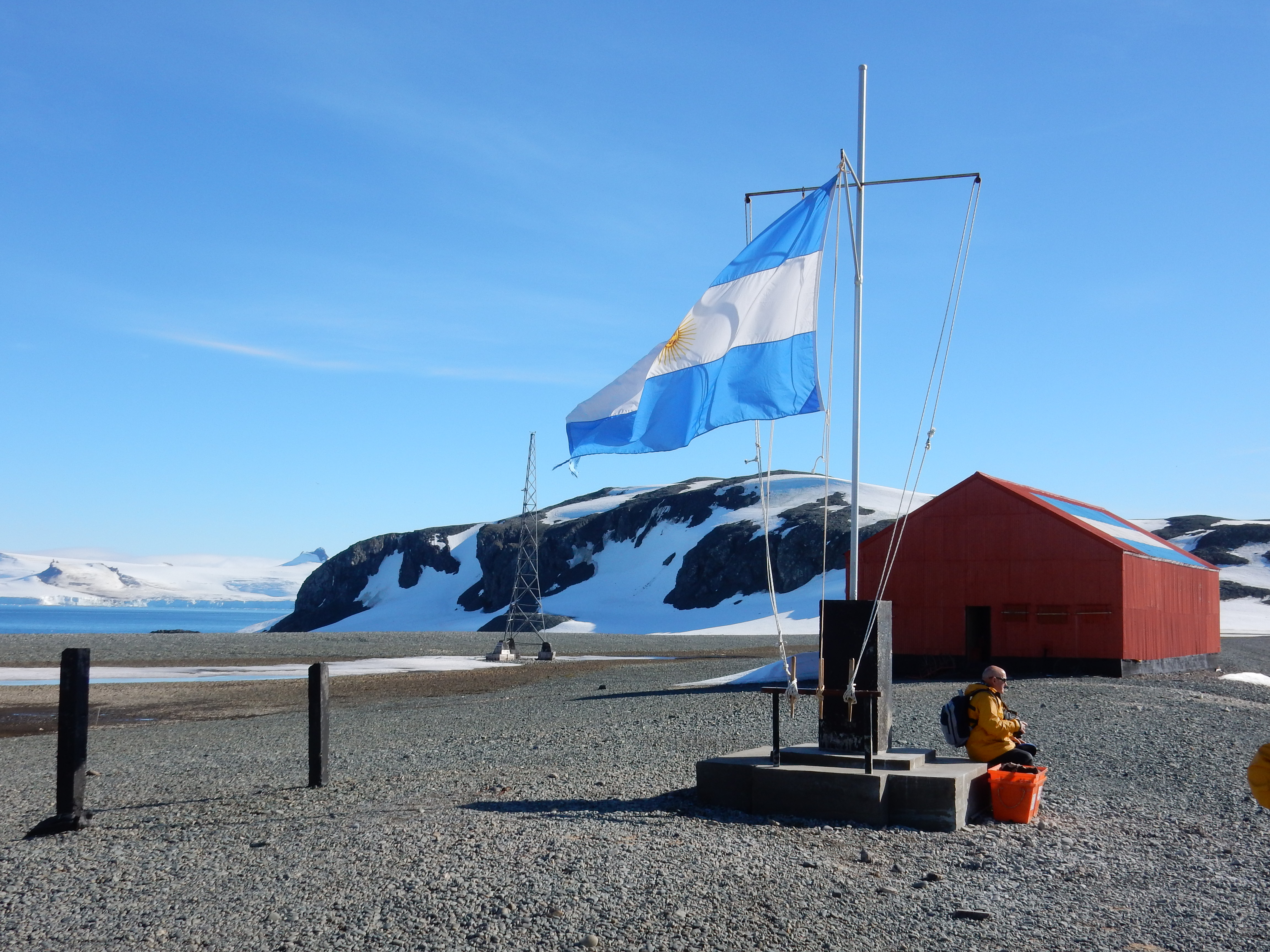
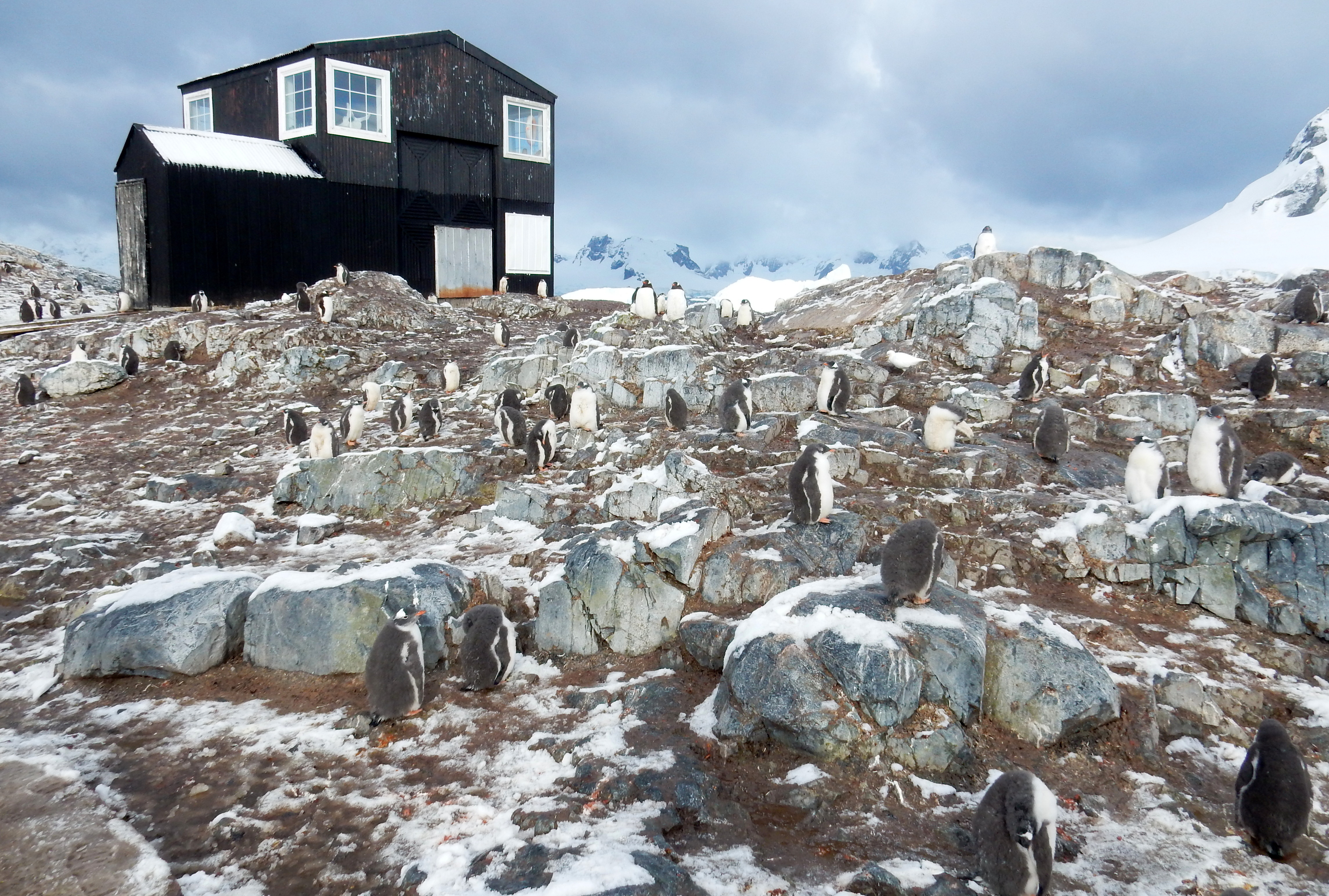
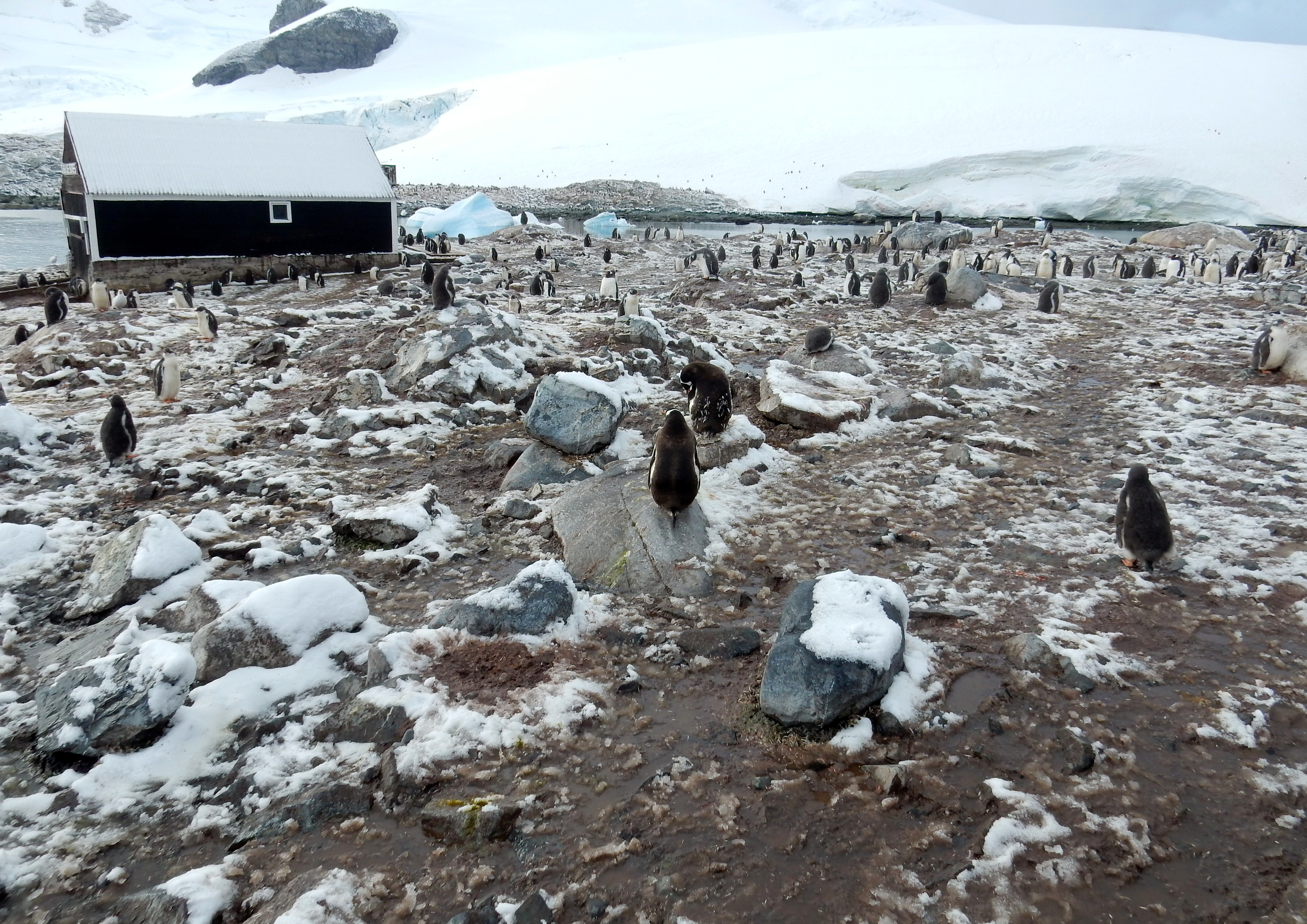
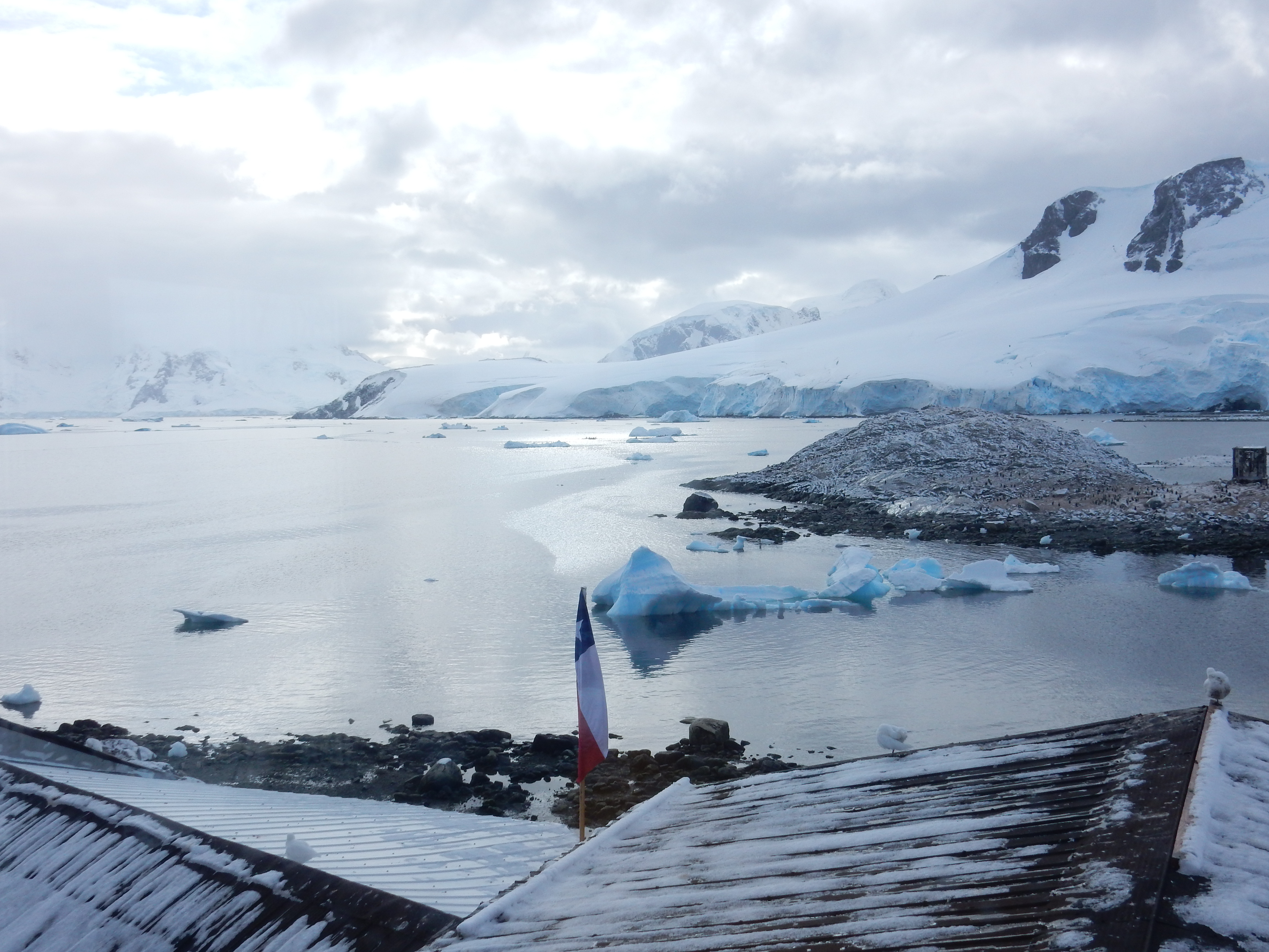
Gonzalez Videla- Chile Base
Just Cruising-
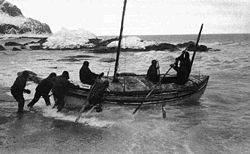
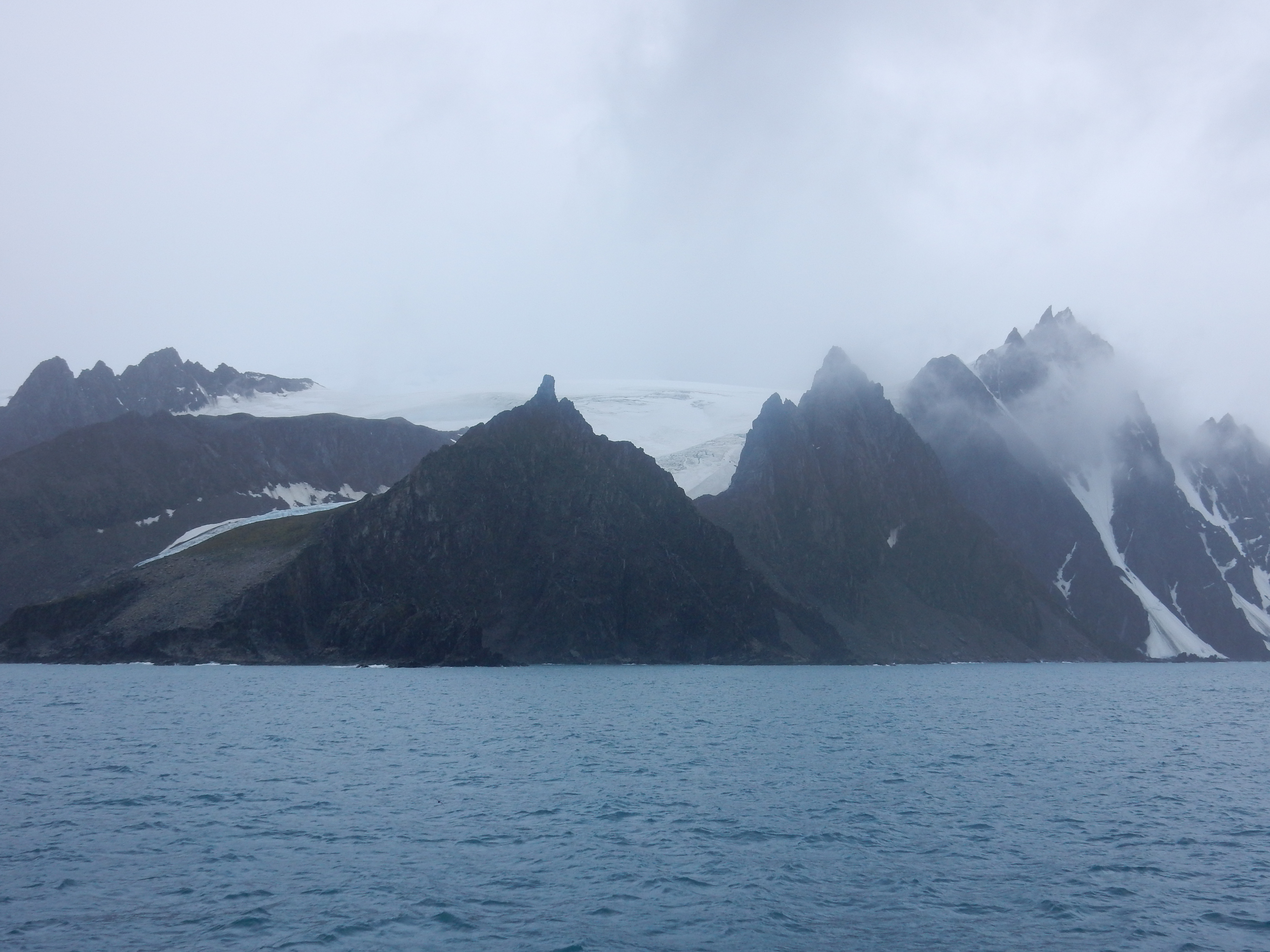
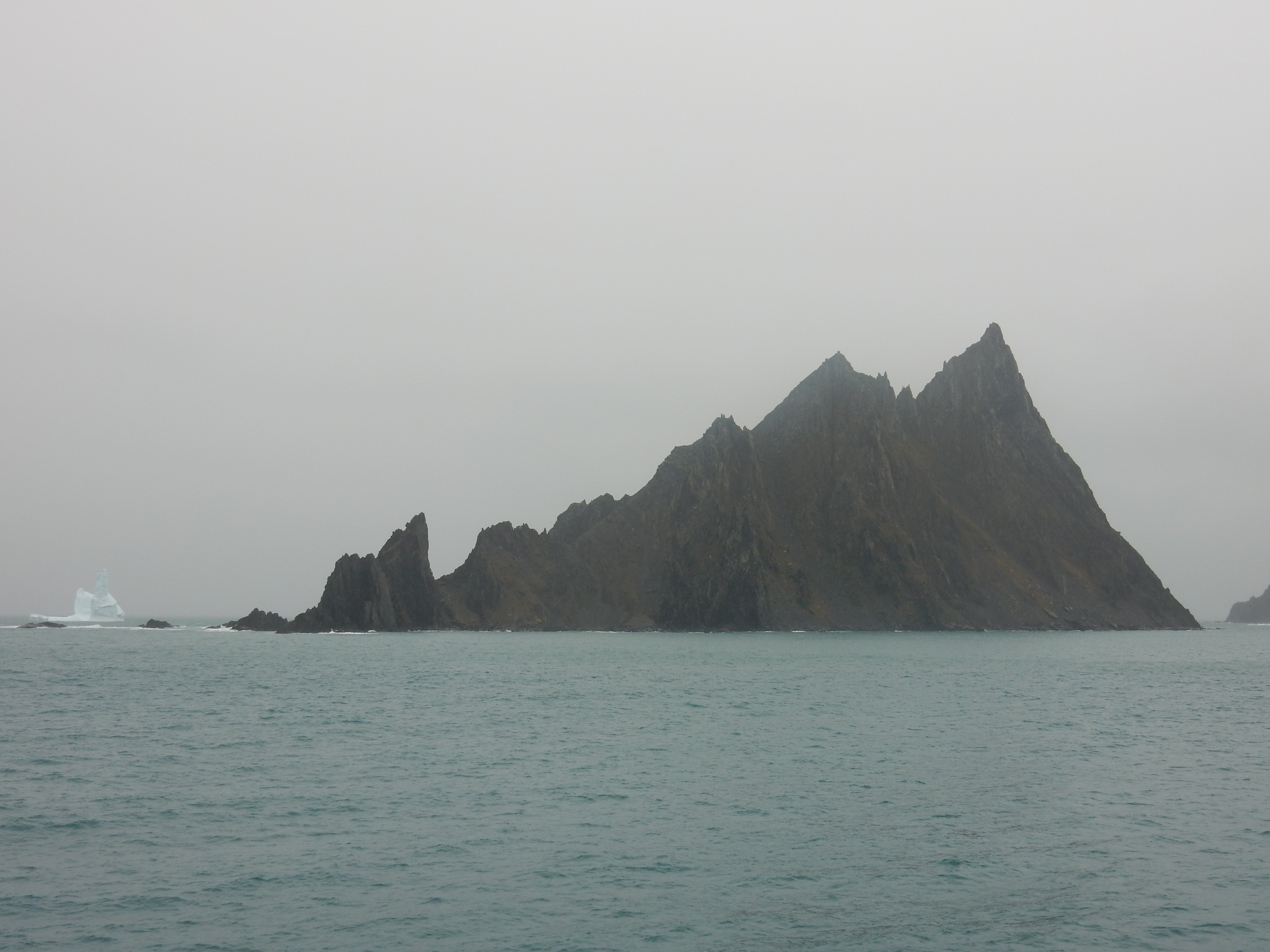
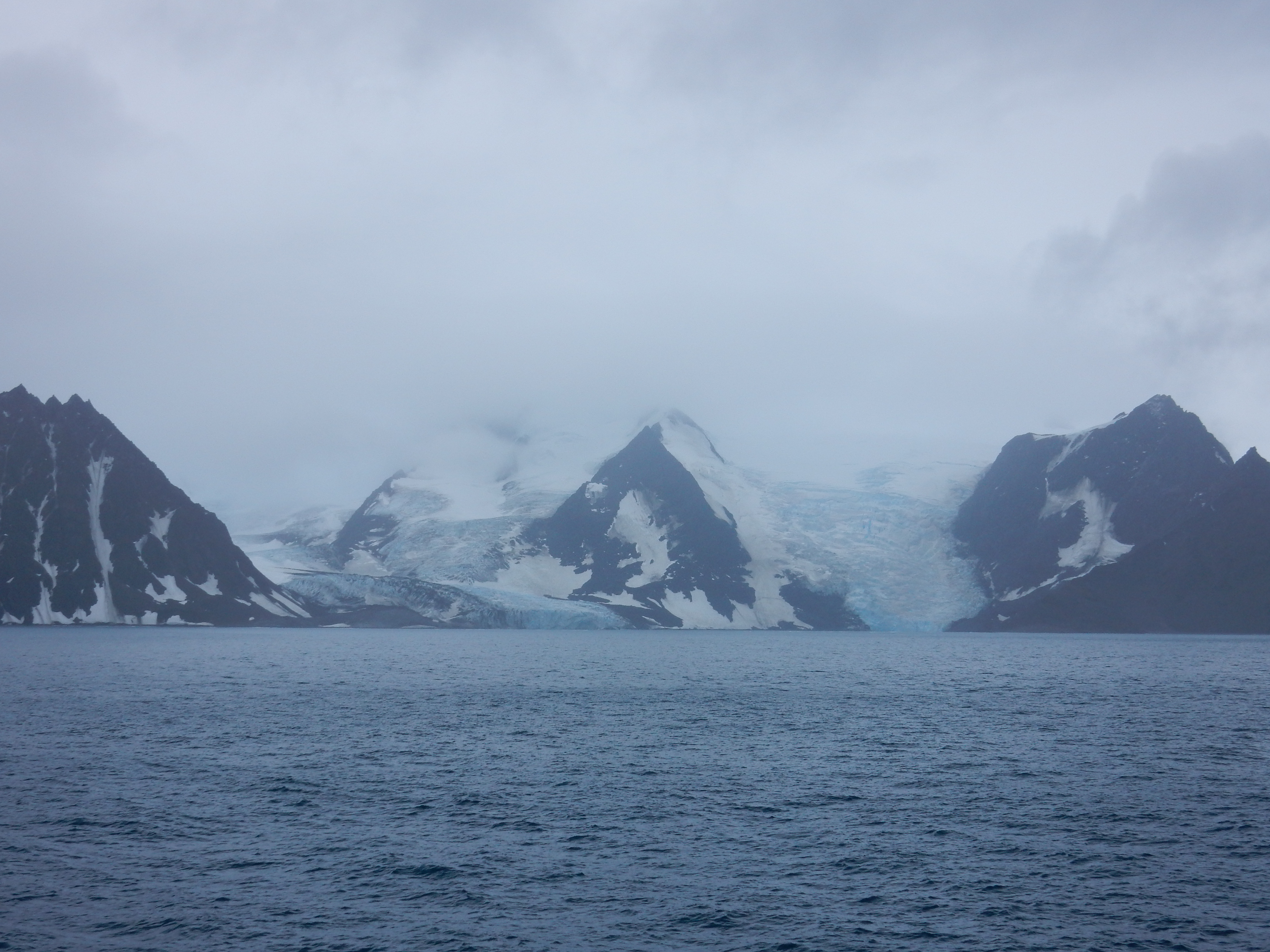
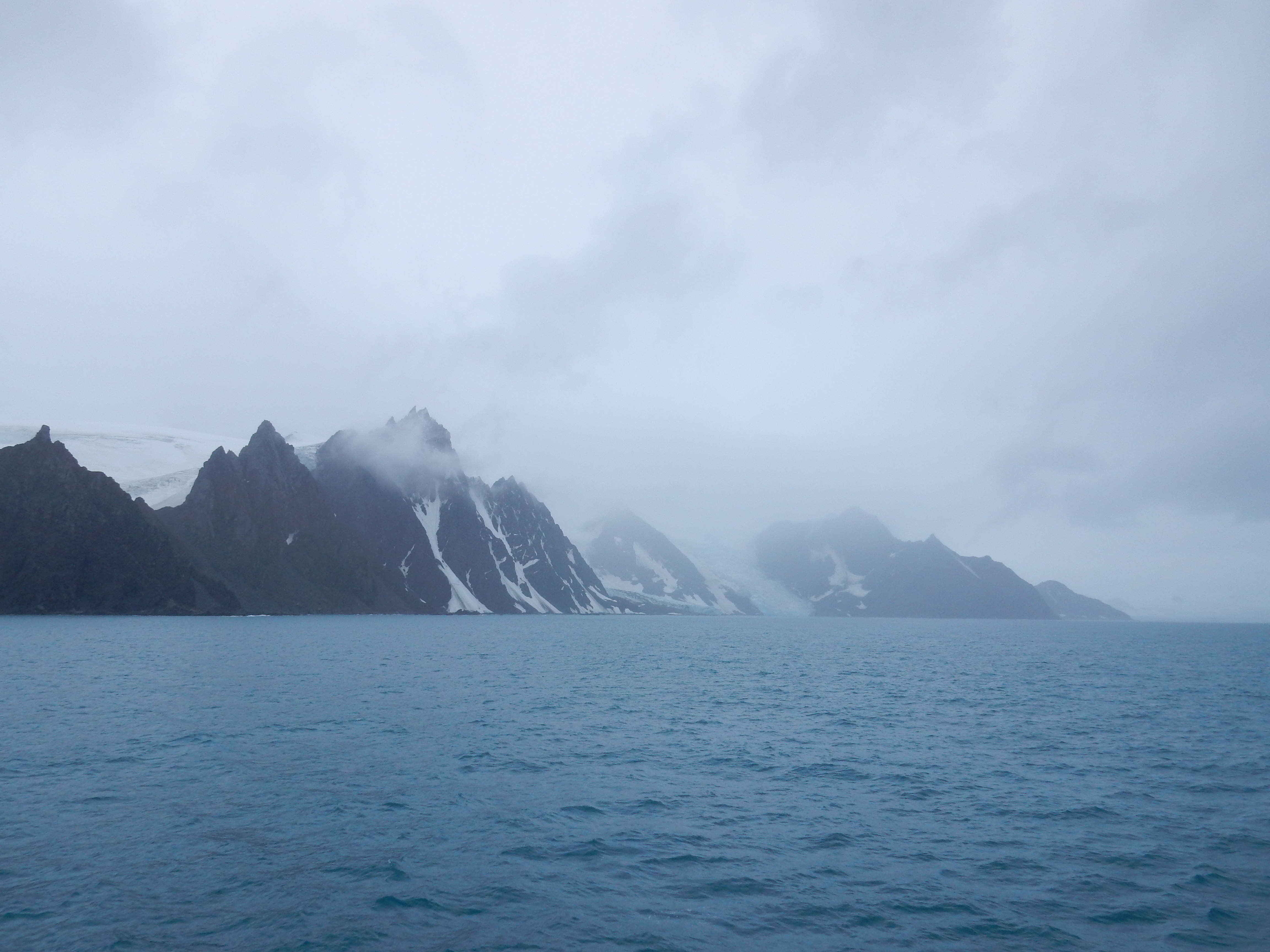
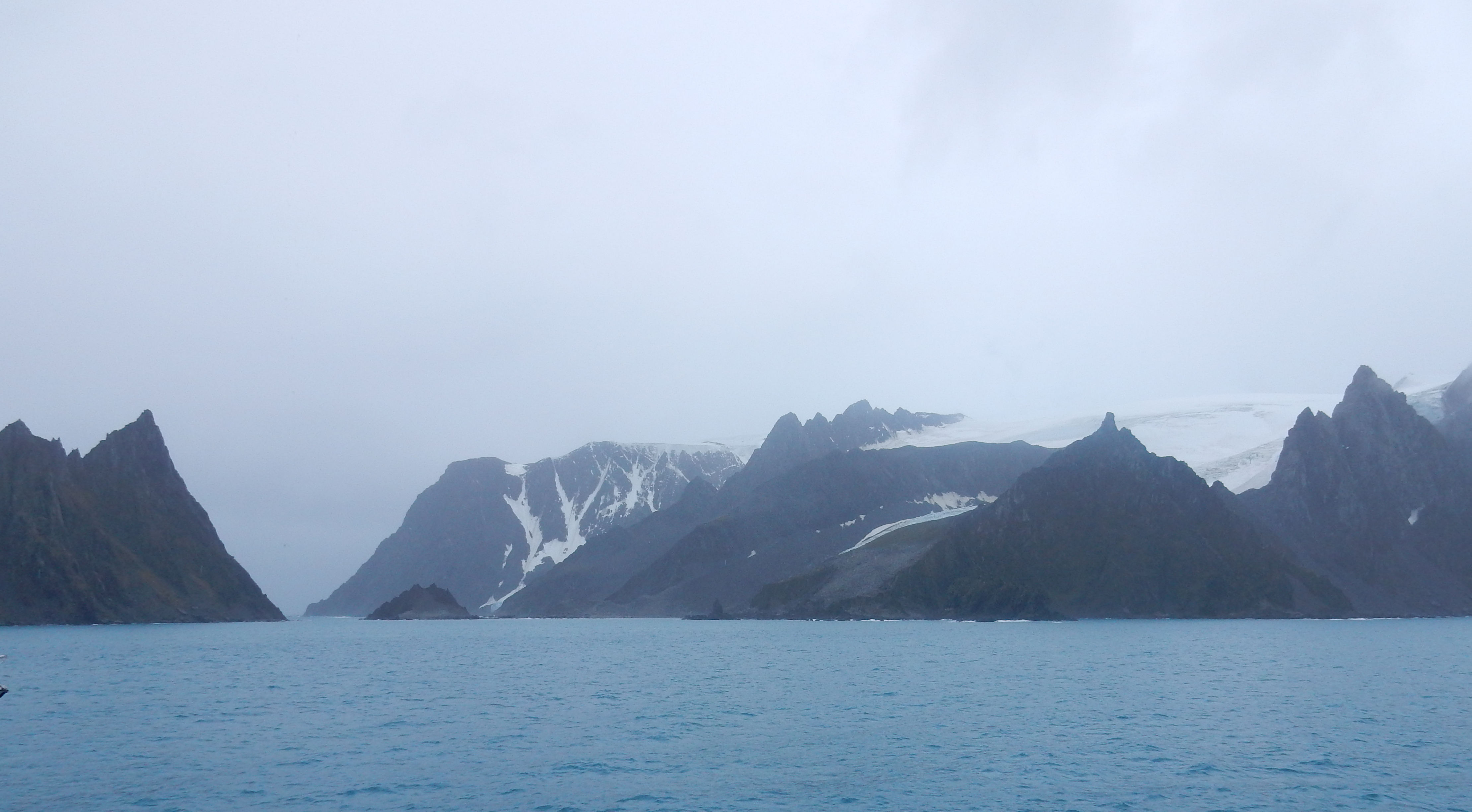
Elephant Island- Earnest Shackleton and his men, 28 in all, landed here after sailing in two 22ft. long boats from an ice flow in the Weddell Sea, after his ship “The Endurance” was crushed by ice and sank in the Weddell Sea. It was 497 days since they had last set foot on land, and no one in the world knew of their plight.
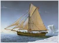
Shackleton realised that in order to effect a rescue, he was going to have to travel to the nearest inhabited place which was the whaling station on South Georgia, some 800 miles distant and across the most stormy stretch of ocean in the world. They expected to encounter waves that were 50 feet from tip to trough “Cape Horn Rollers” in a 22 foot long boat. Their navigation was by a sextant and a chronometer of unknown accuracy, they were dependent on sightings of the sun that could sometimes not be seen for weeks in the overcast weather so characteristic of these latitudes. They landed on the uninhabited Elephant Island,
Shackleton and 5 men left from here on 24 April 1916 to make for South Georgia arriving on 10th May. All 6 were completely exhausted, 2 of them only just alive.
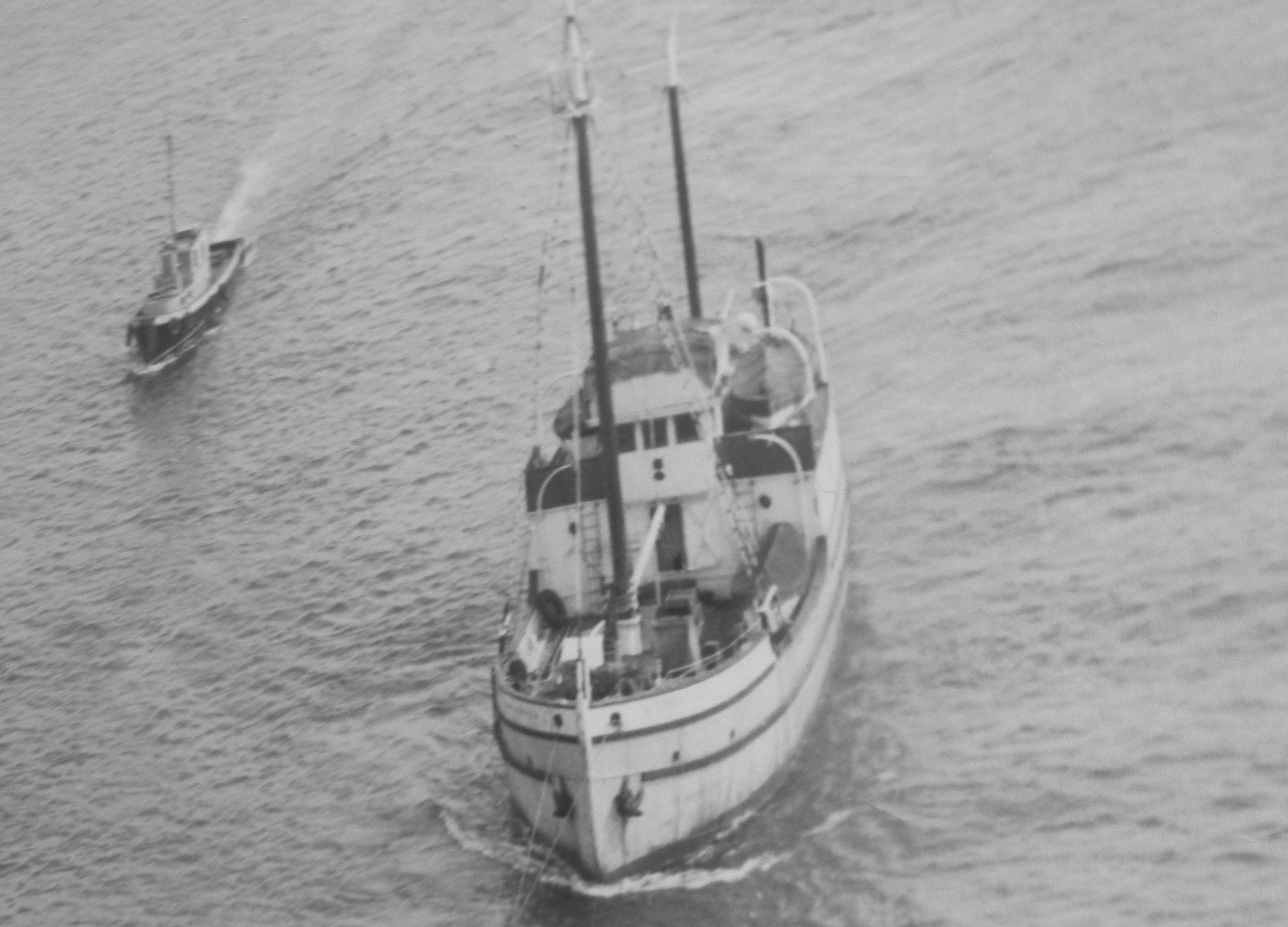
It was an epic journey in violent seas. If they had missed South Georgia they would have finished up lost in the Atlantic Ocean and would have perished and no rescue would have been sent to Elephant Island. The James Caird leaving Elephant Island.
Three days at sea-
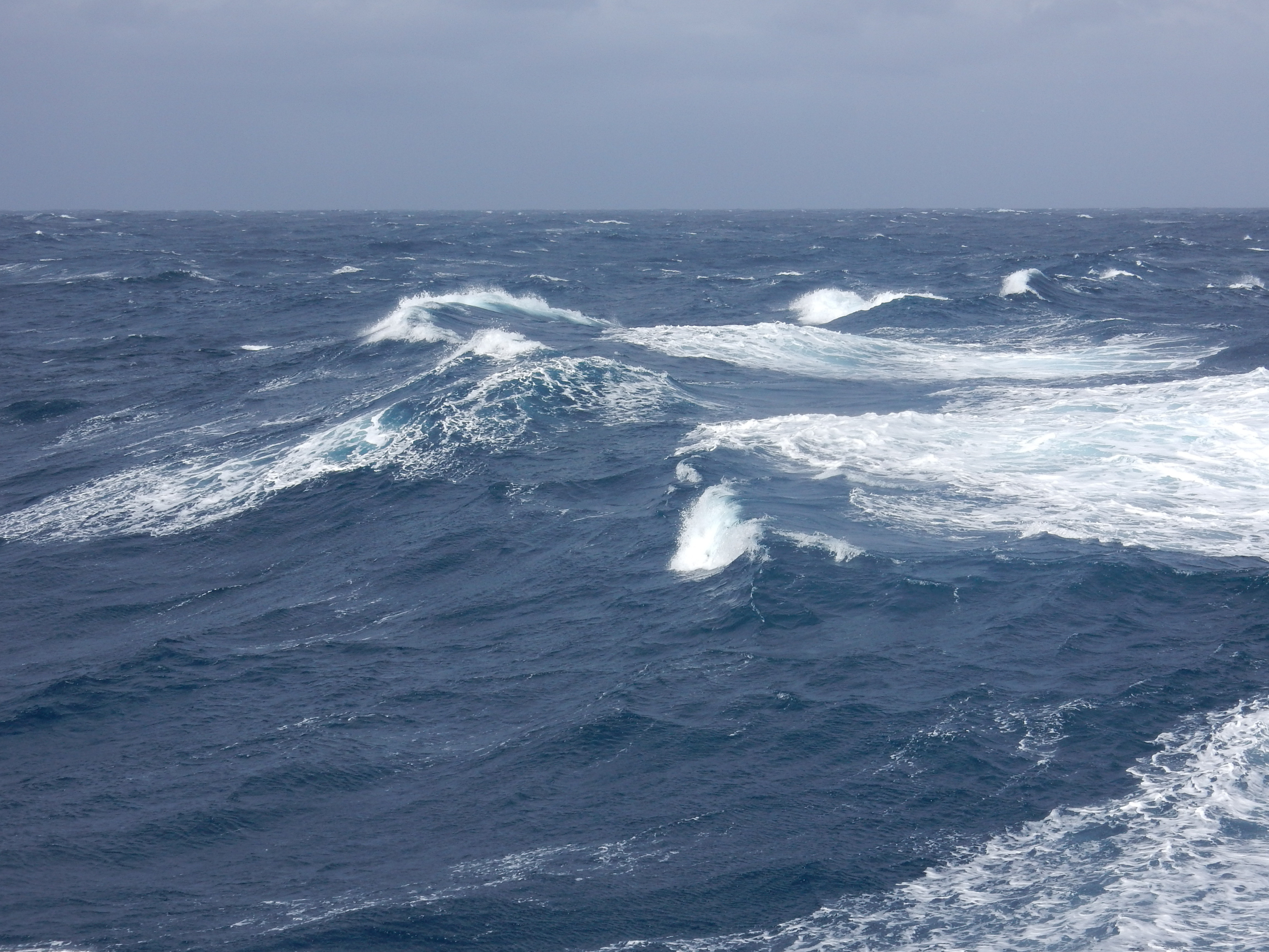
Always something to see-
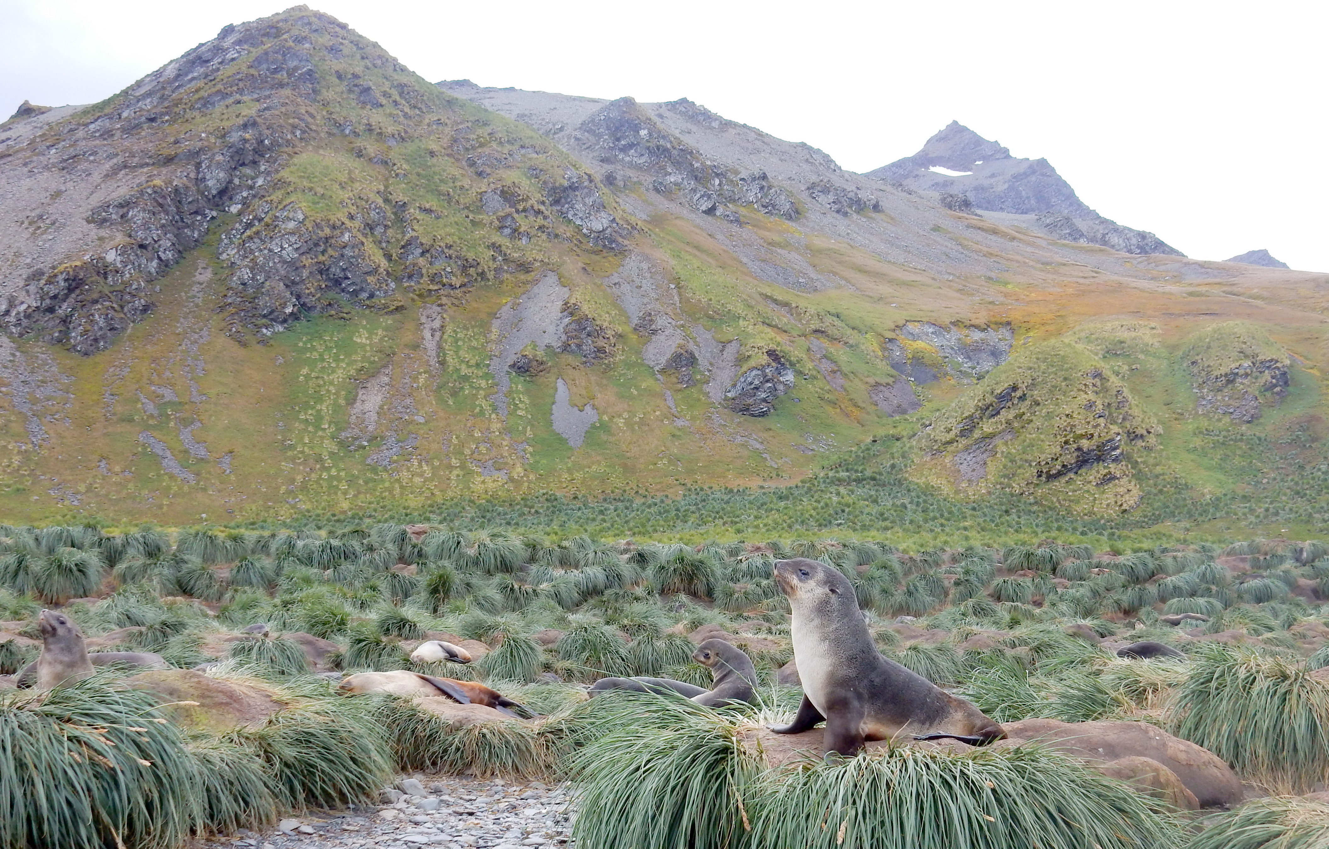
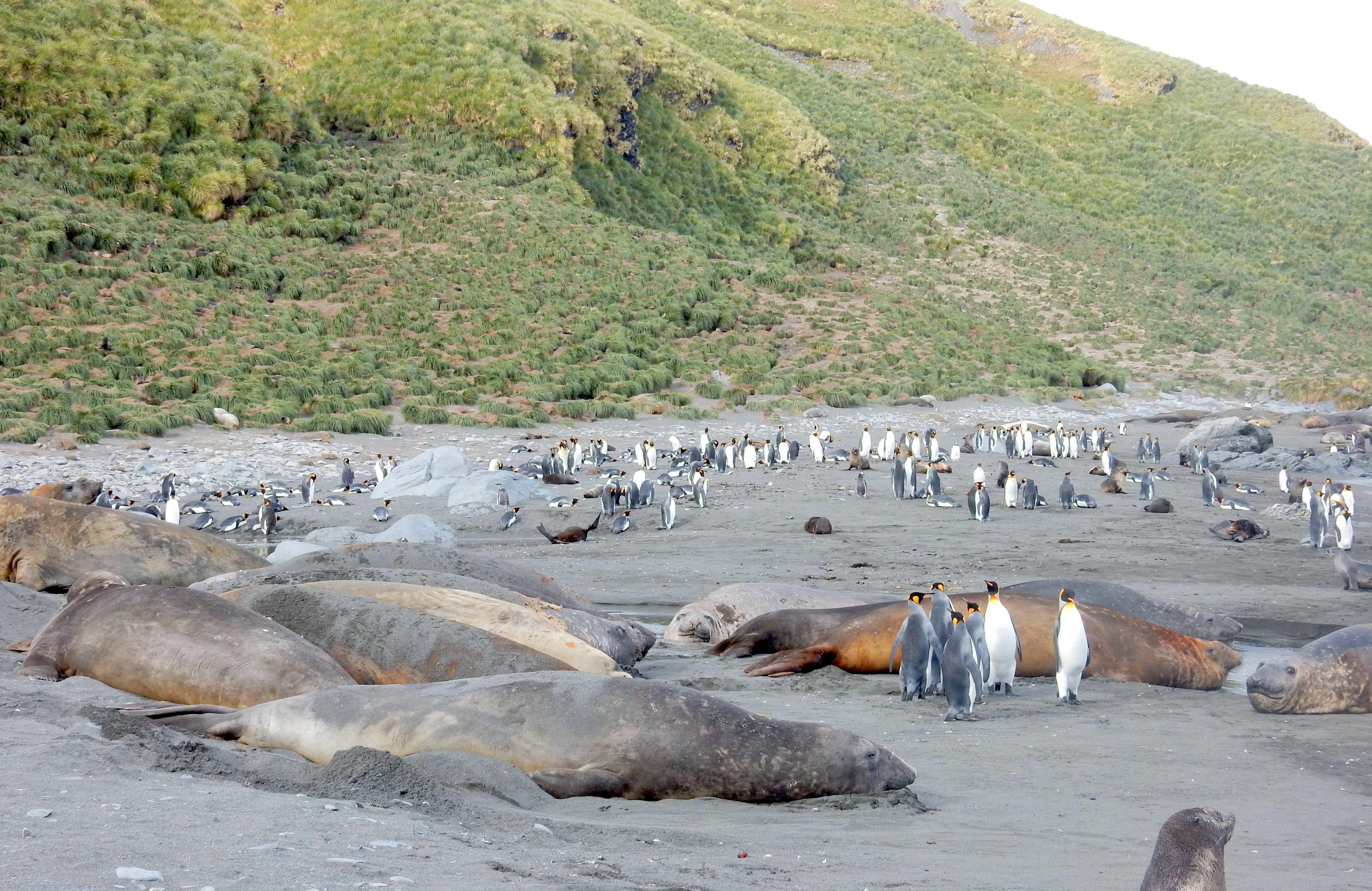
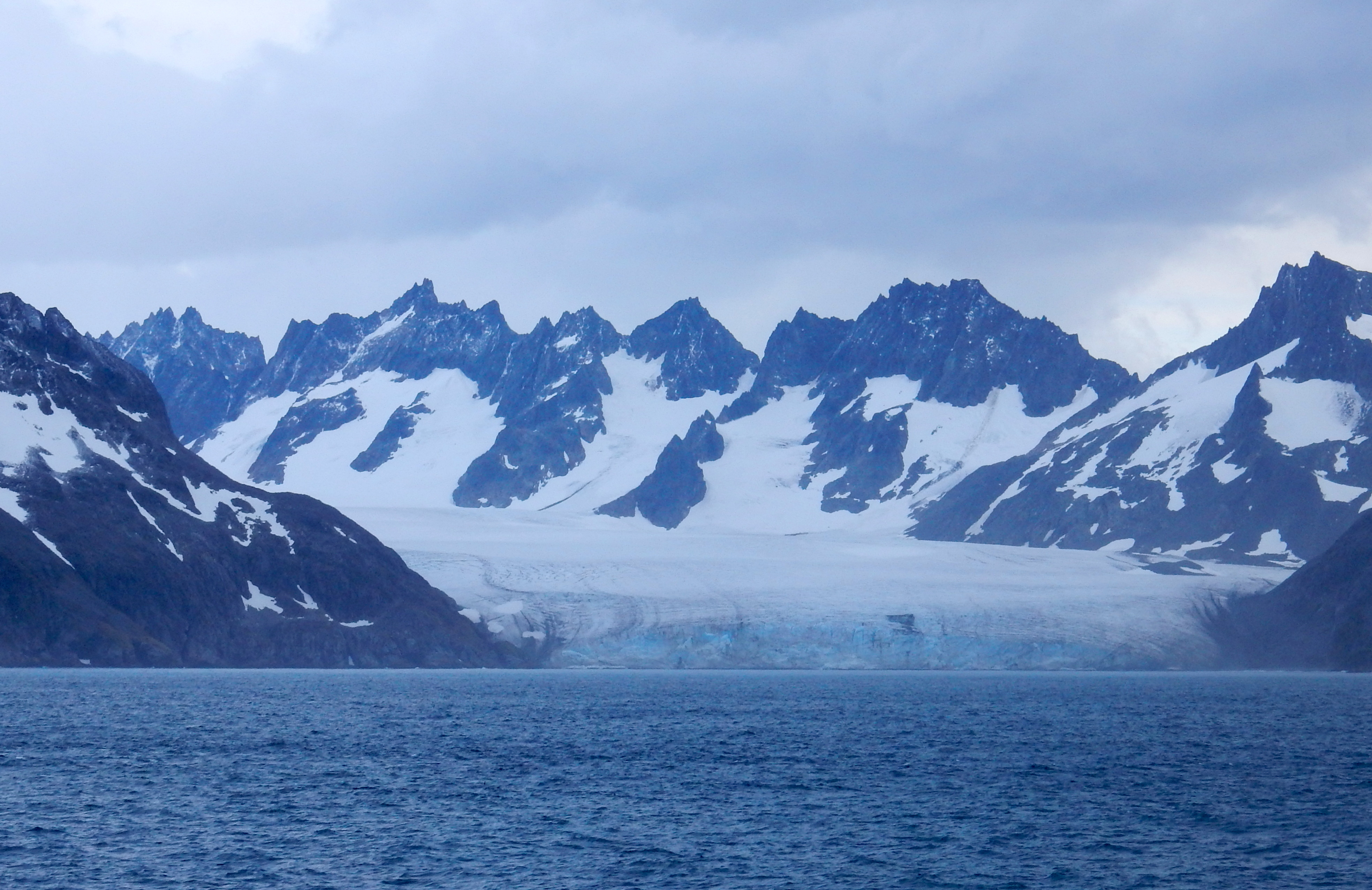
South Georgia Islands
South Georgia Island is a sub-Antarctic island administered by the United Kingdom as part of South Georgia and the South Sandwich Islands. It is located 1390 km southeast of the Falkland Islands and 2150 km from South America. It is the home of vast numbers of birds and marine life, but its remote location and lack of access makes it a rare destination for tourists. We are very fortunate to be able to be here. Population 12.
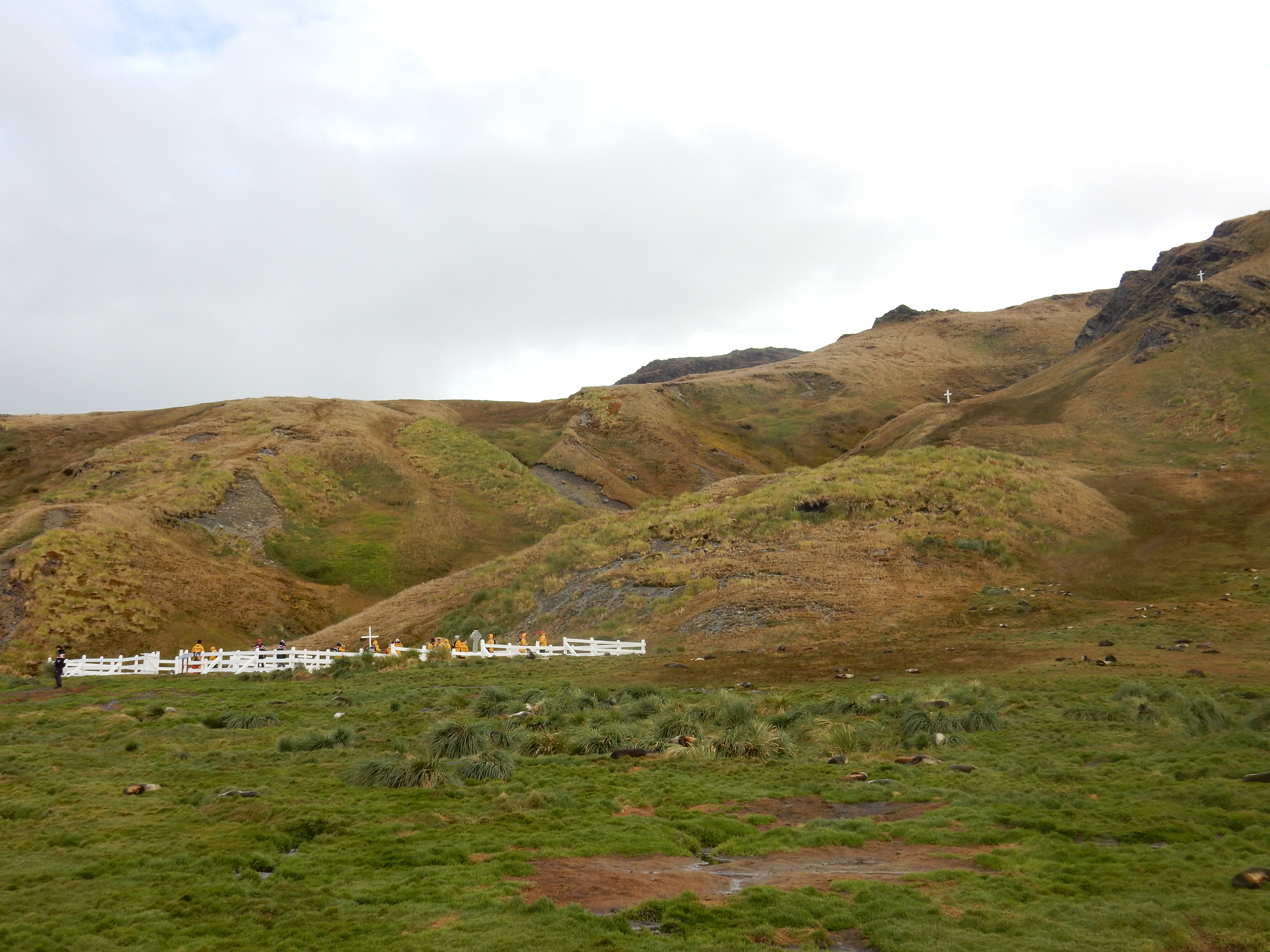
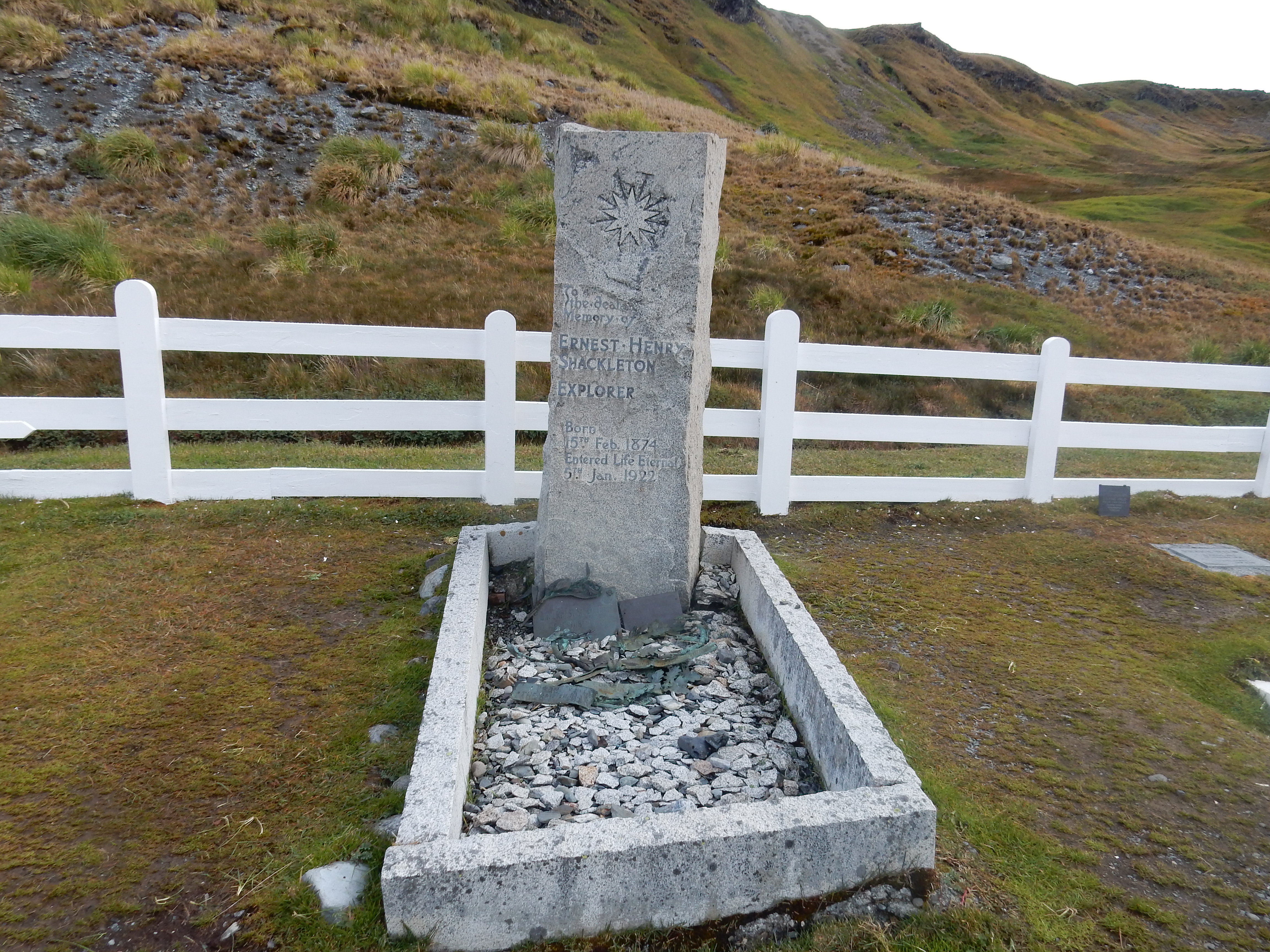
This the place where Shakleton landed with five of his men and was able to cross a steep mountain range to the whaling station on the other side of the island and plan the rescue of the rest of his party that he left on Elephant Island. To read more about Shackleton go to:
http://www.coolantarctica.com/Antarctica%20fact%20file/History/
Shackleton-Endurance-Trans-Antarctic_expedition.php
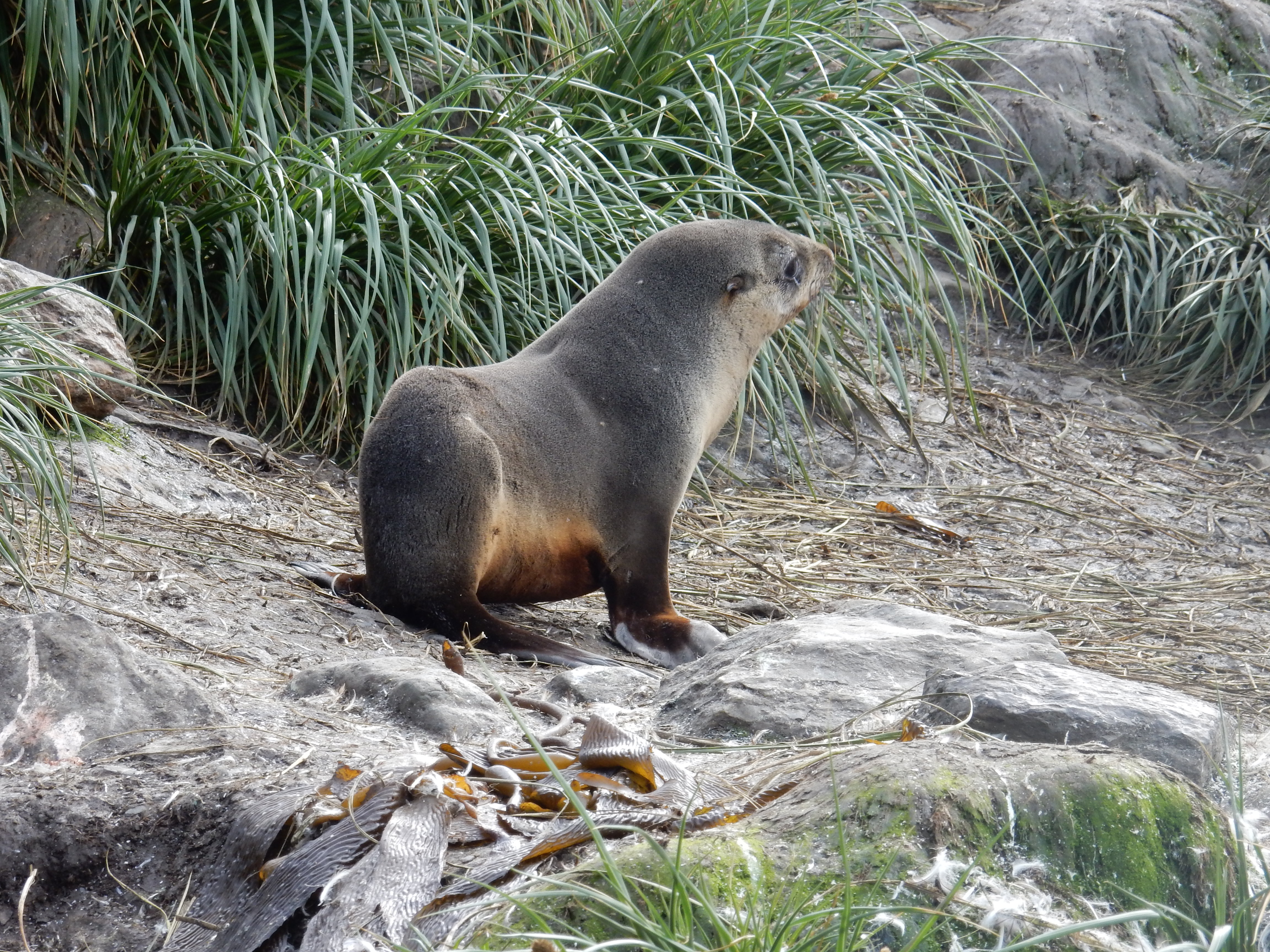
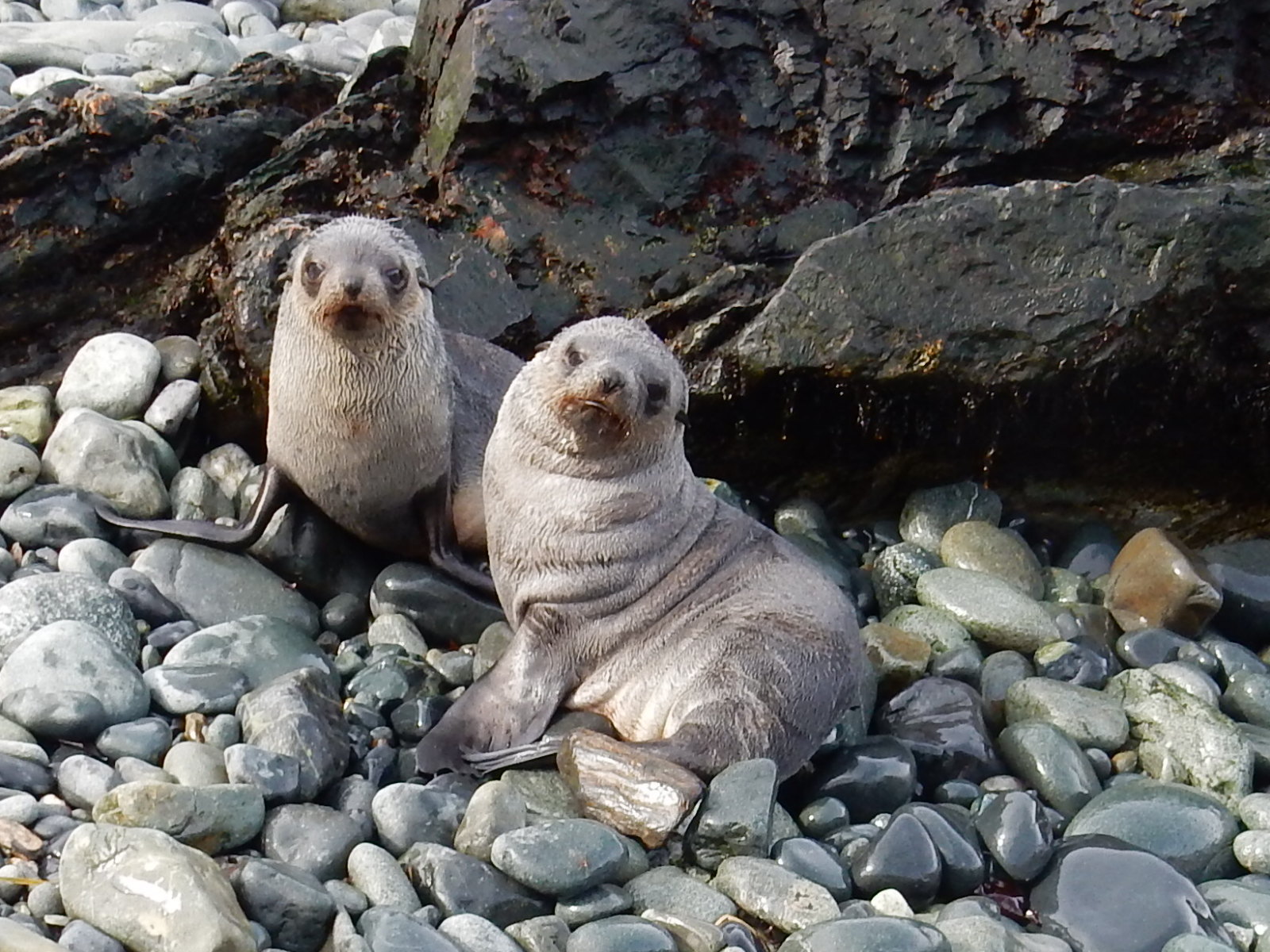
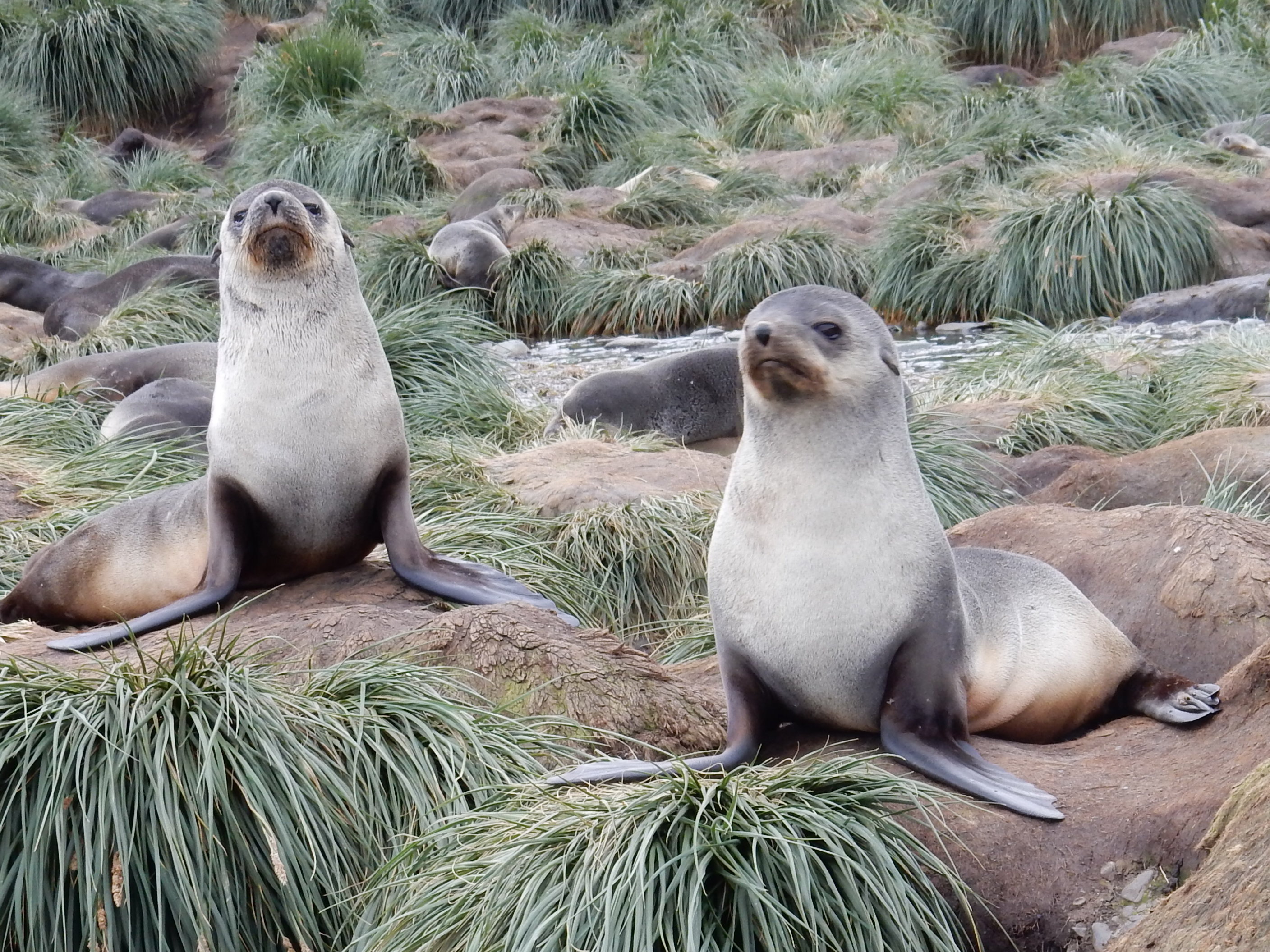
Cooper Bay, South Georgia
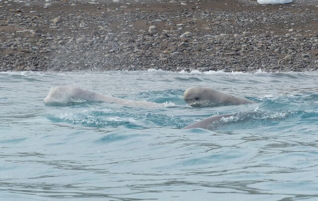
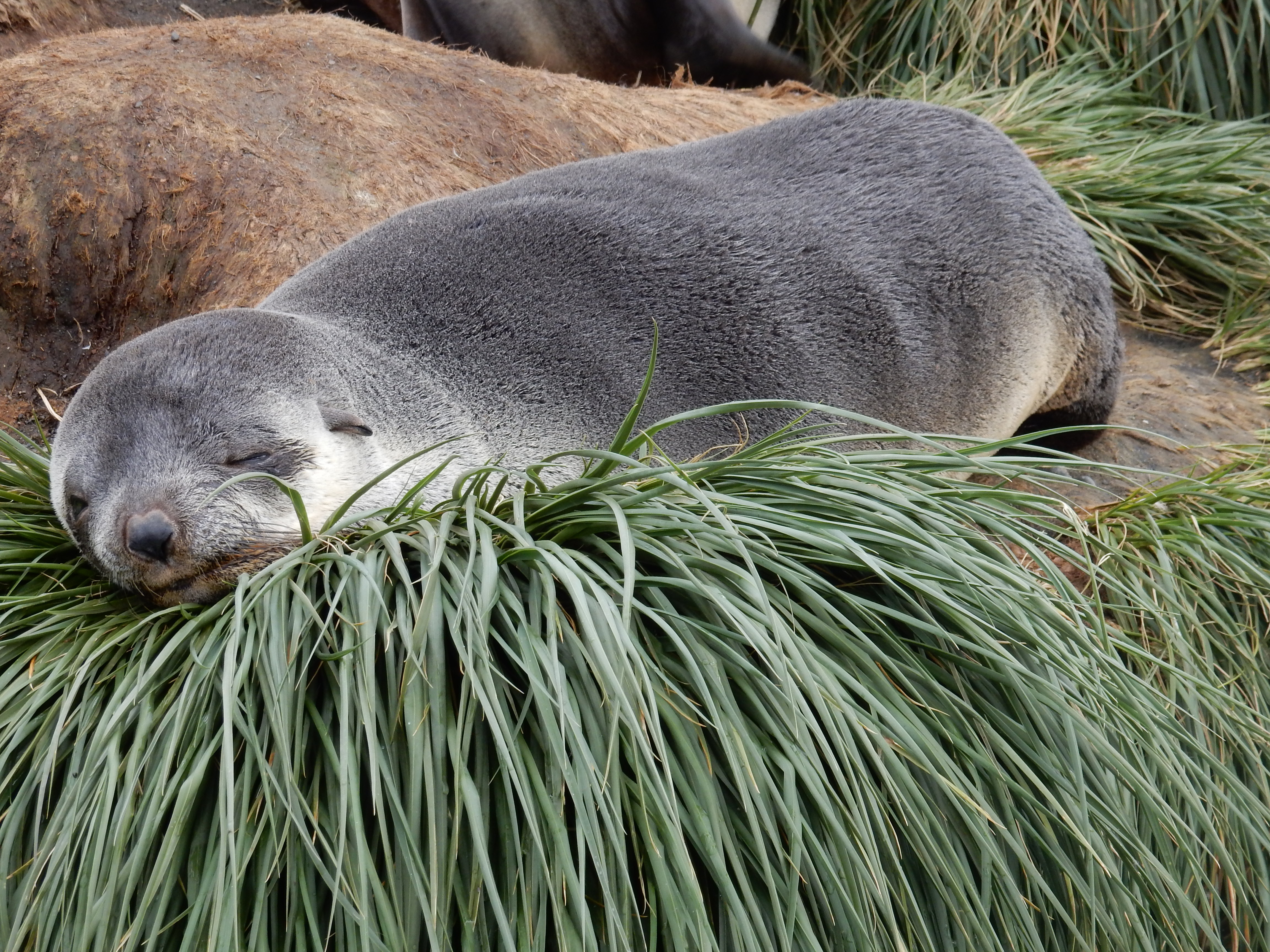
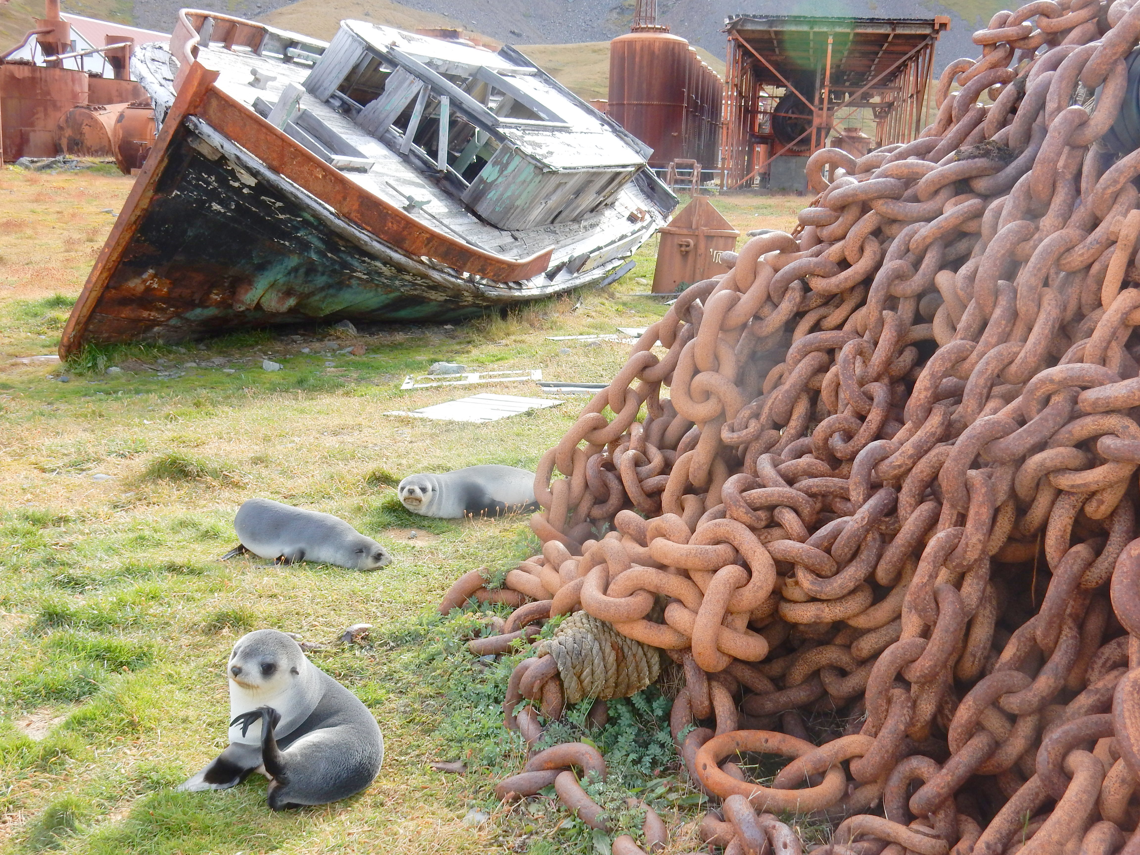
Fur seals
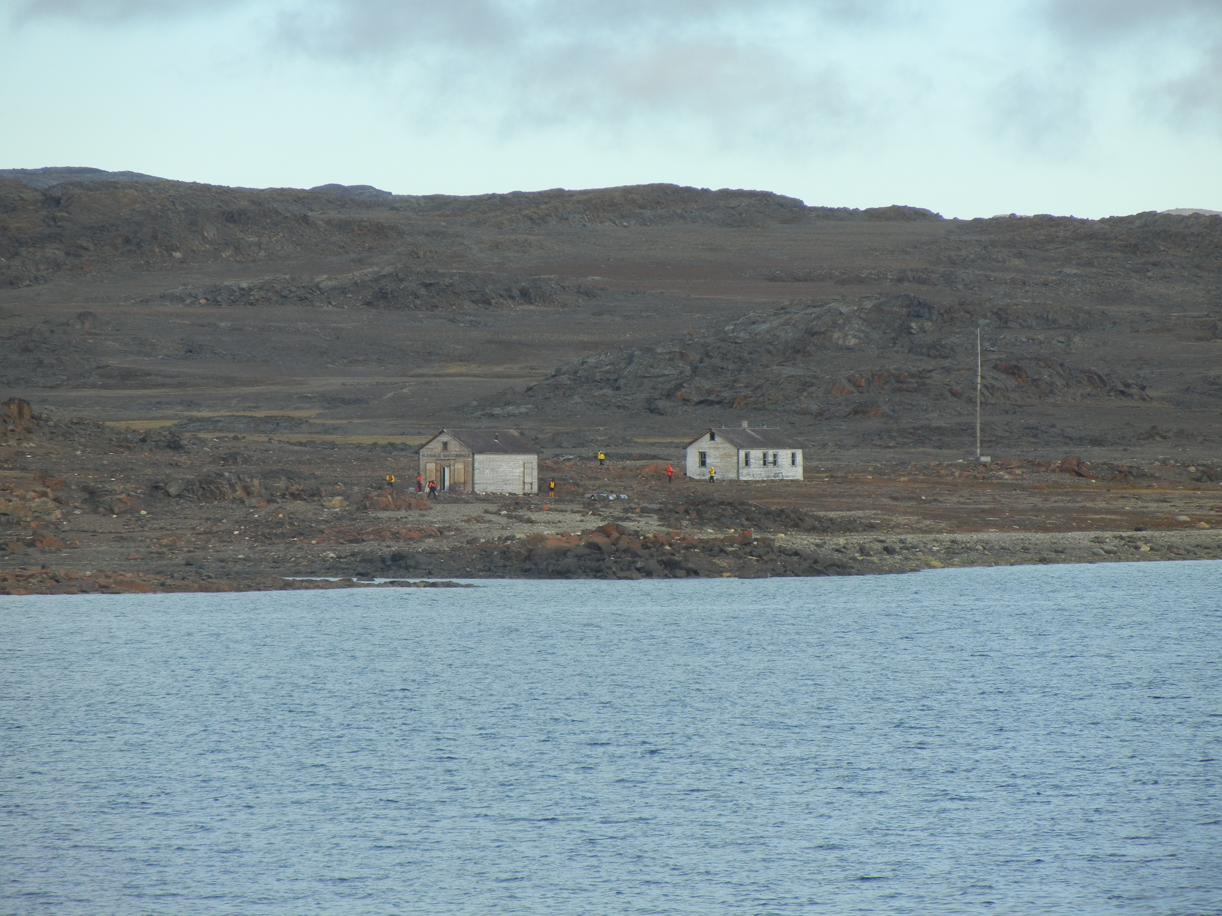
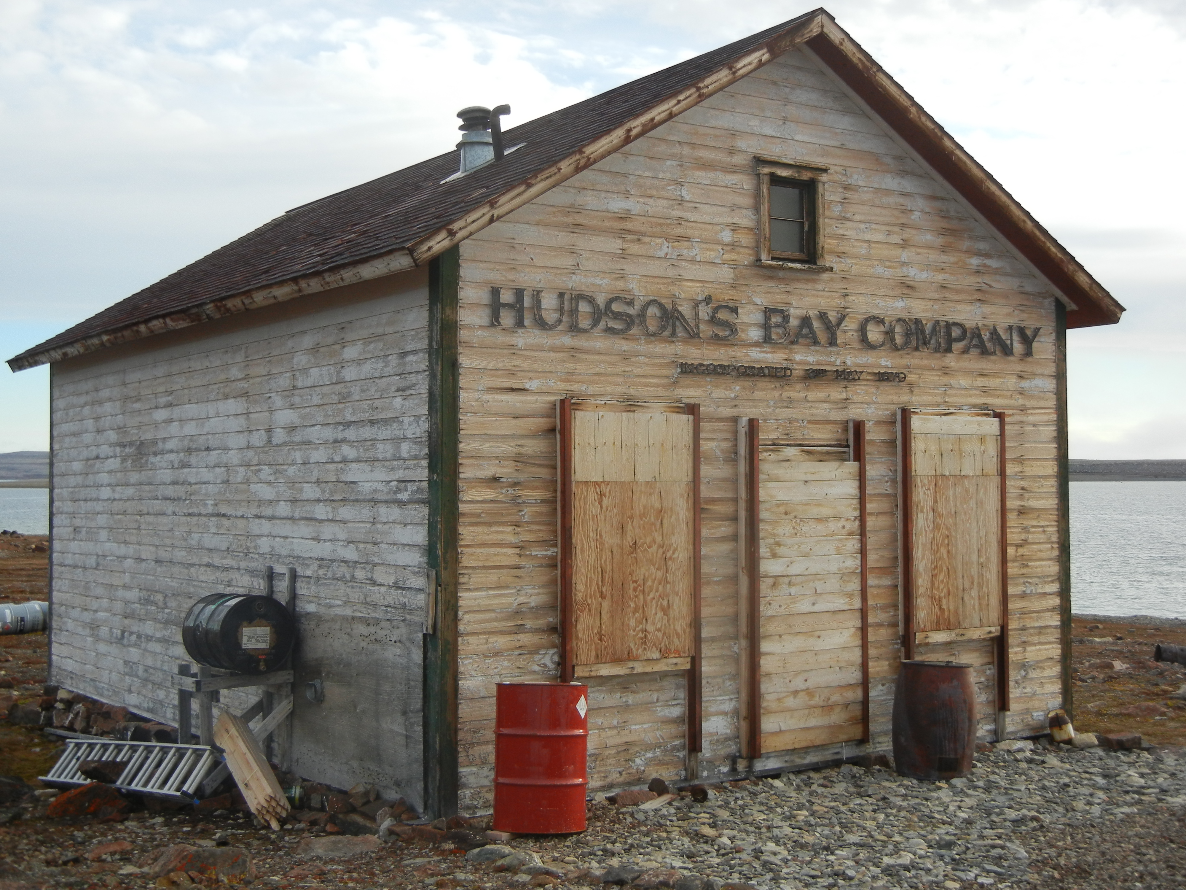
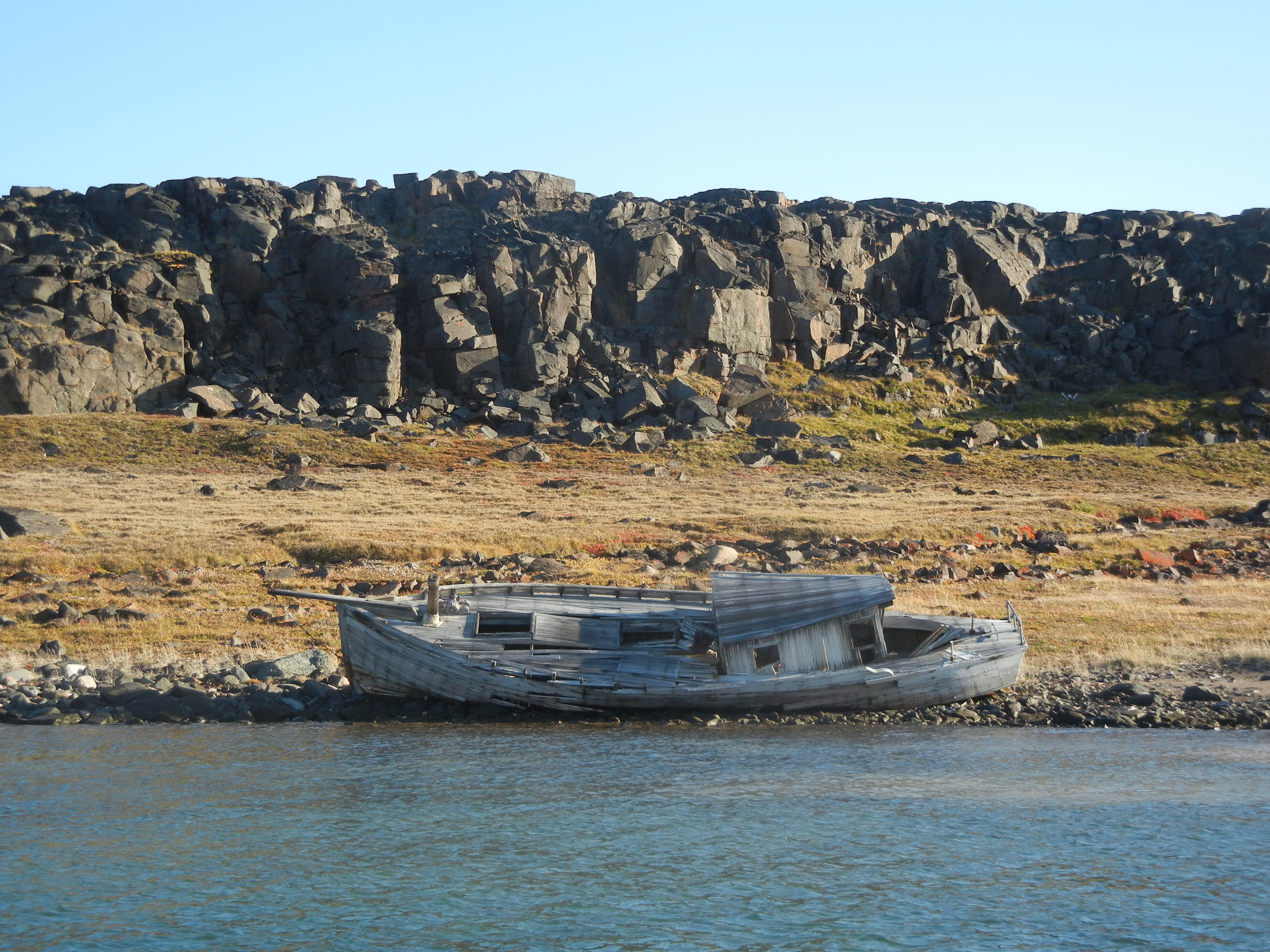
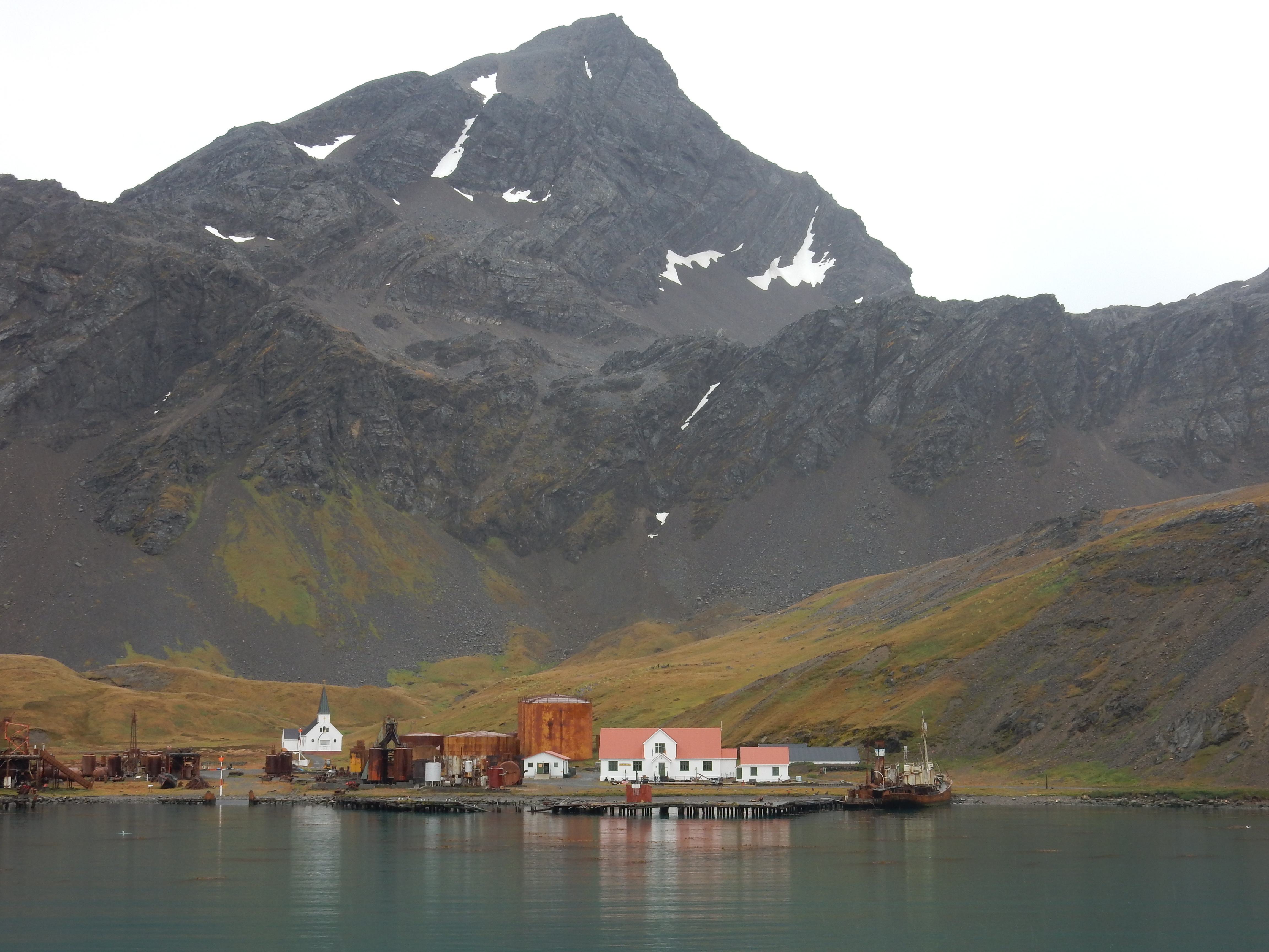
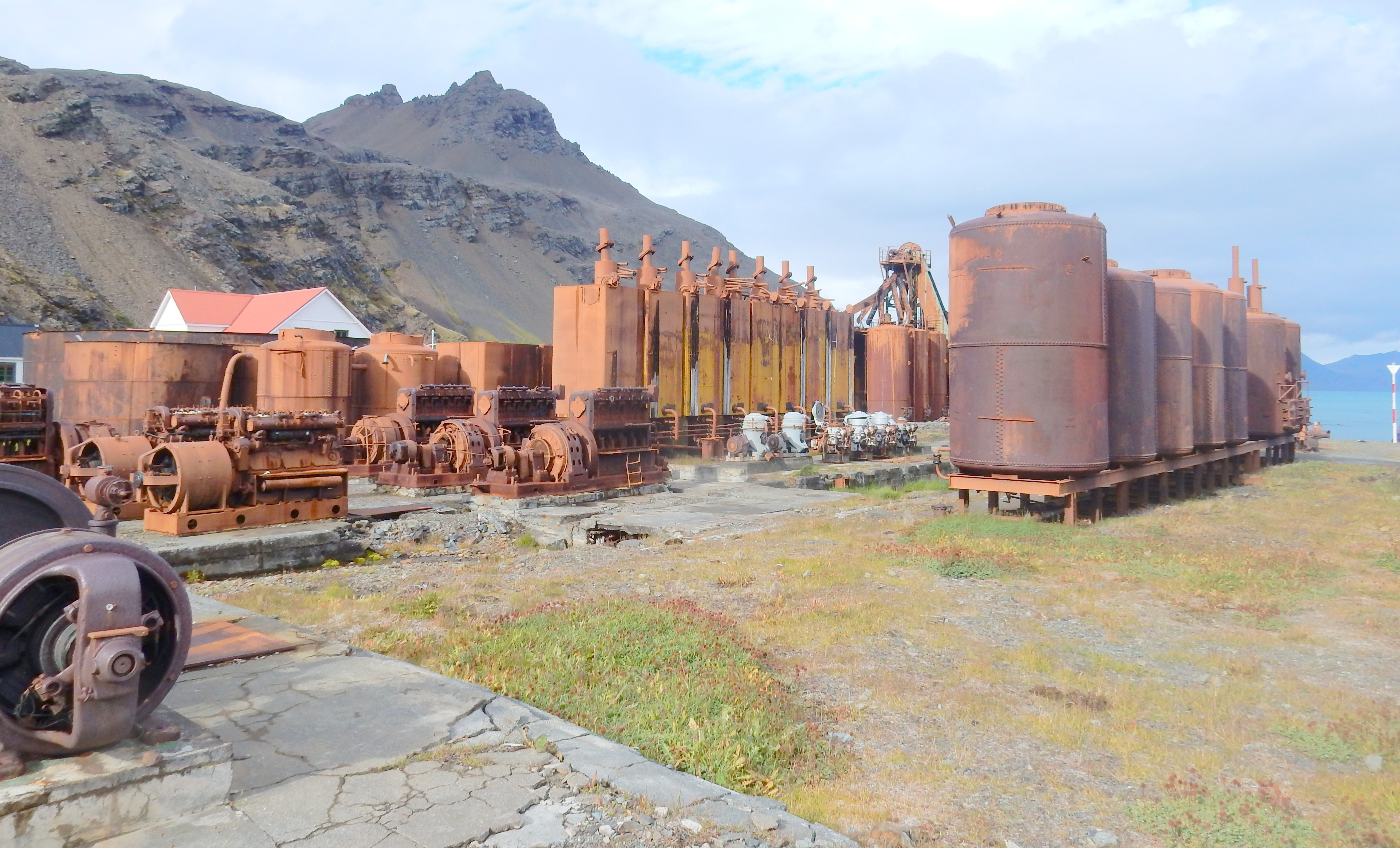
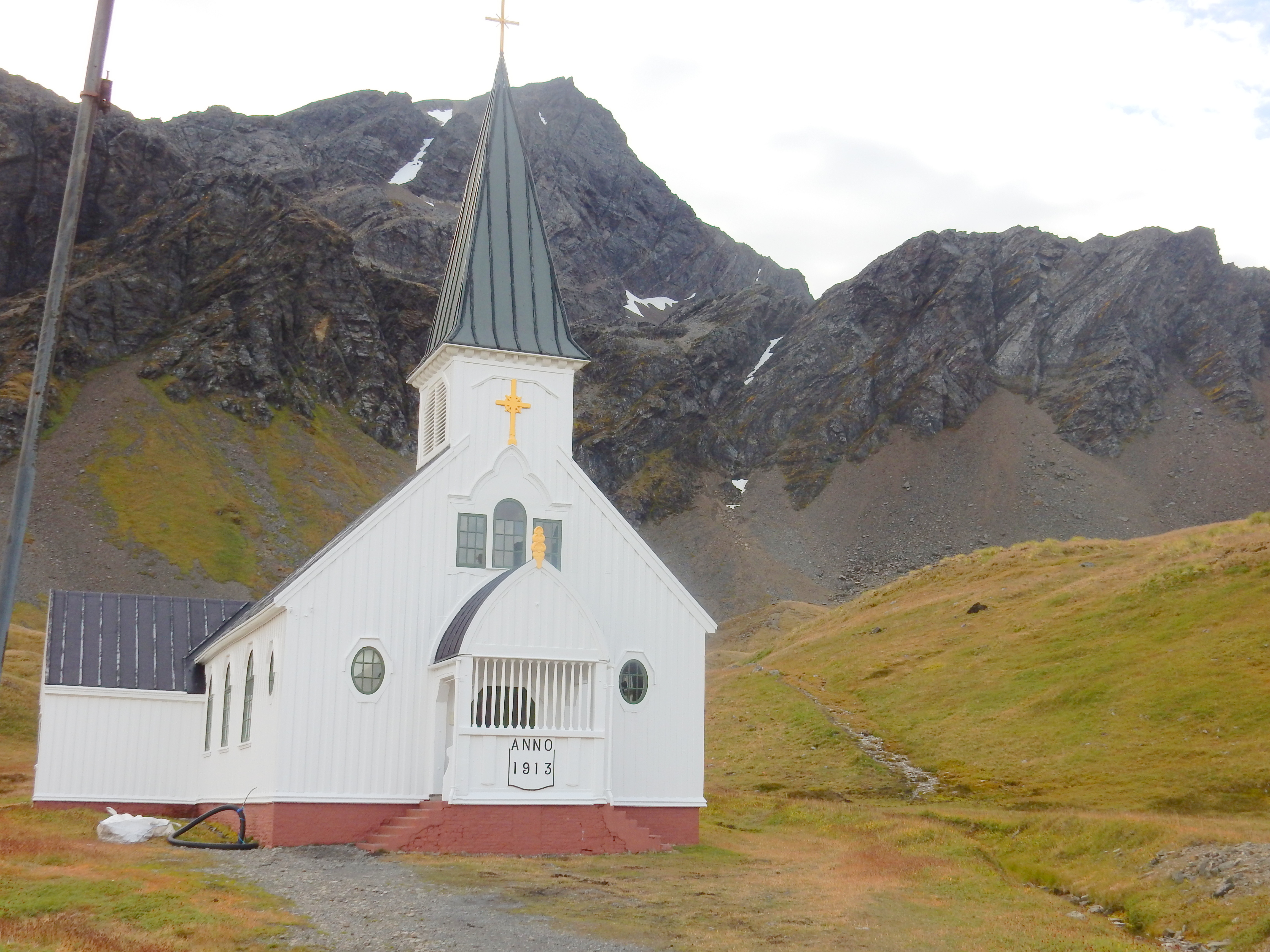
Grytviken, South Georgia


On and around the Falklands-
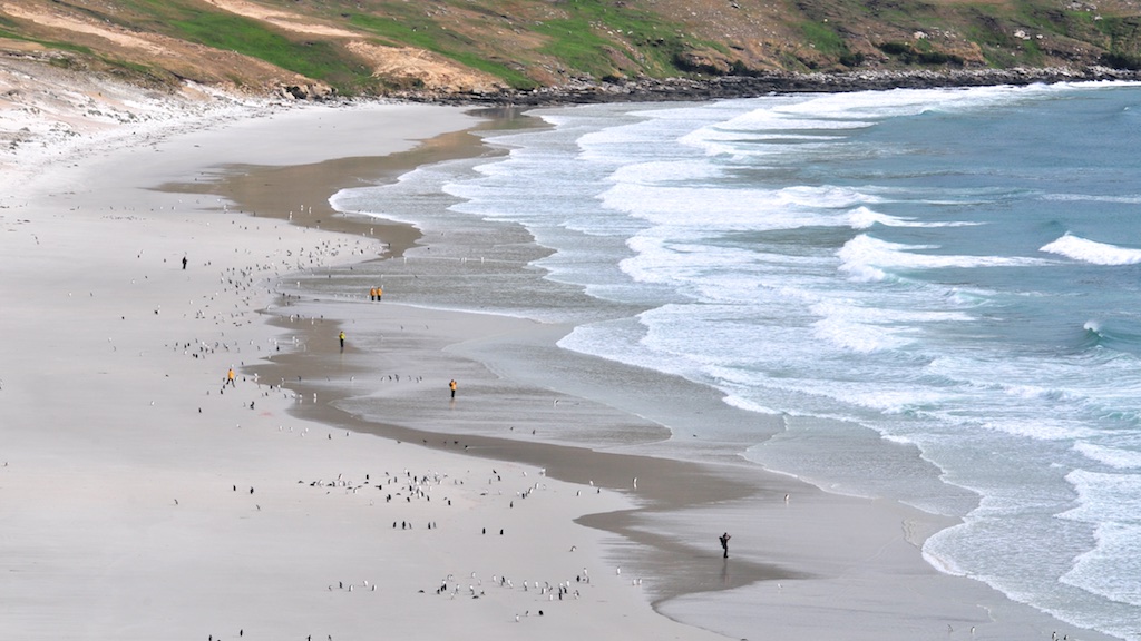

Wildlife noted
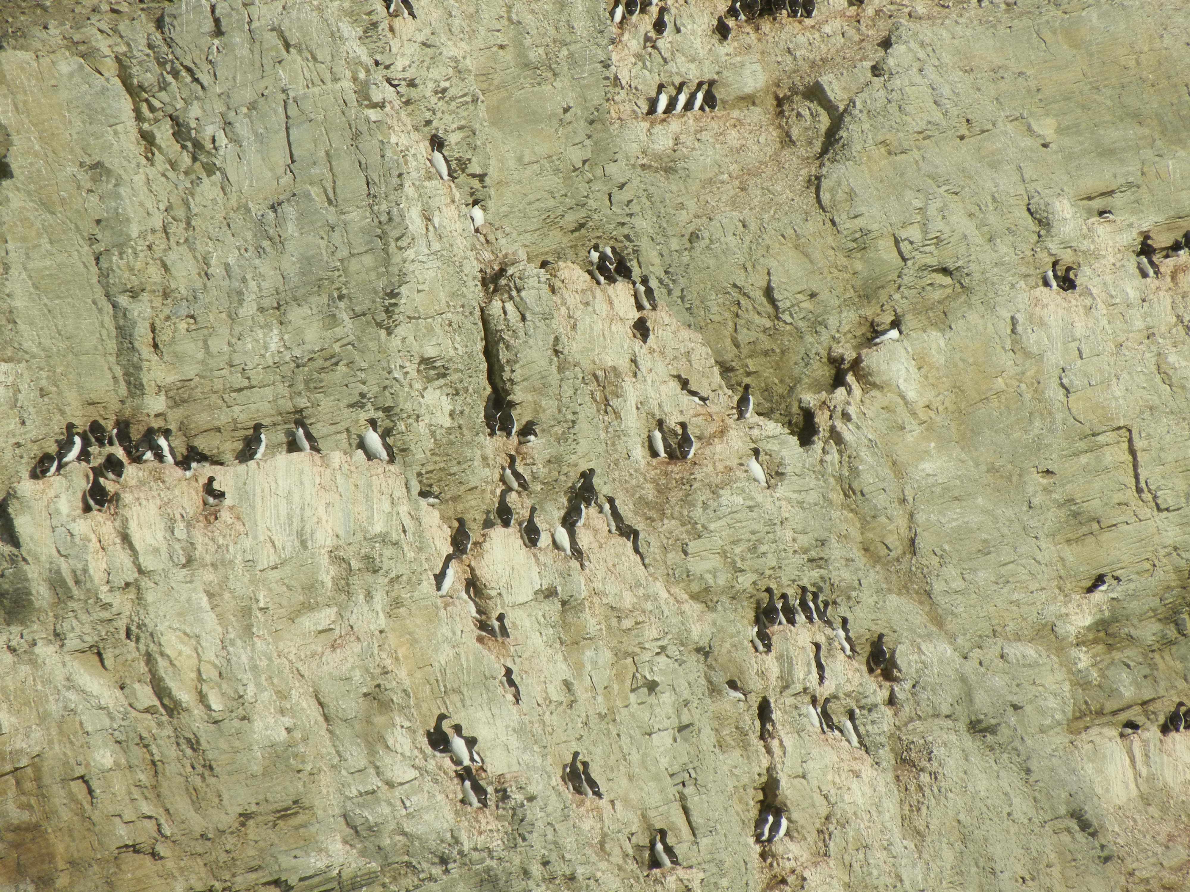
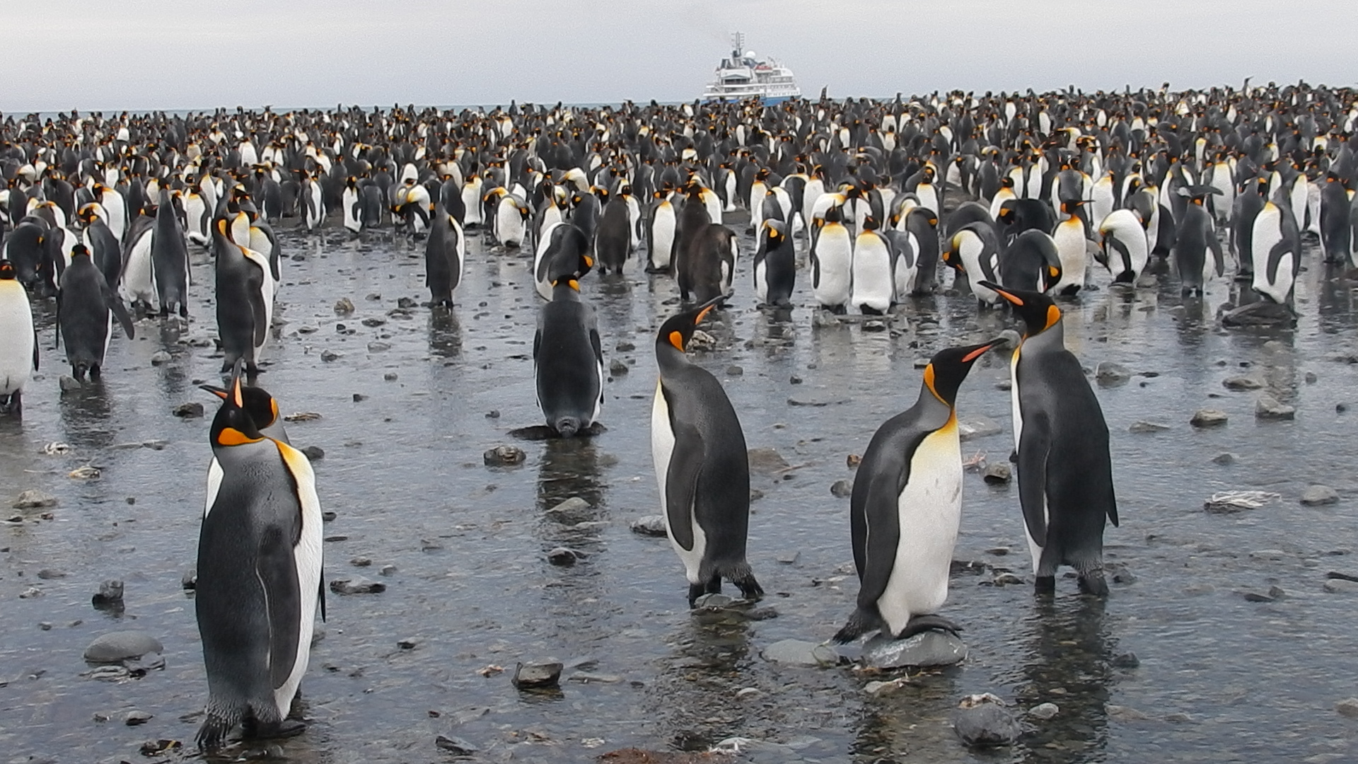
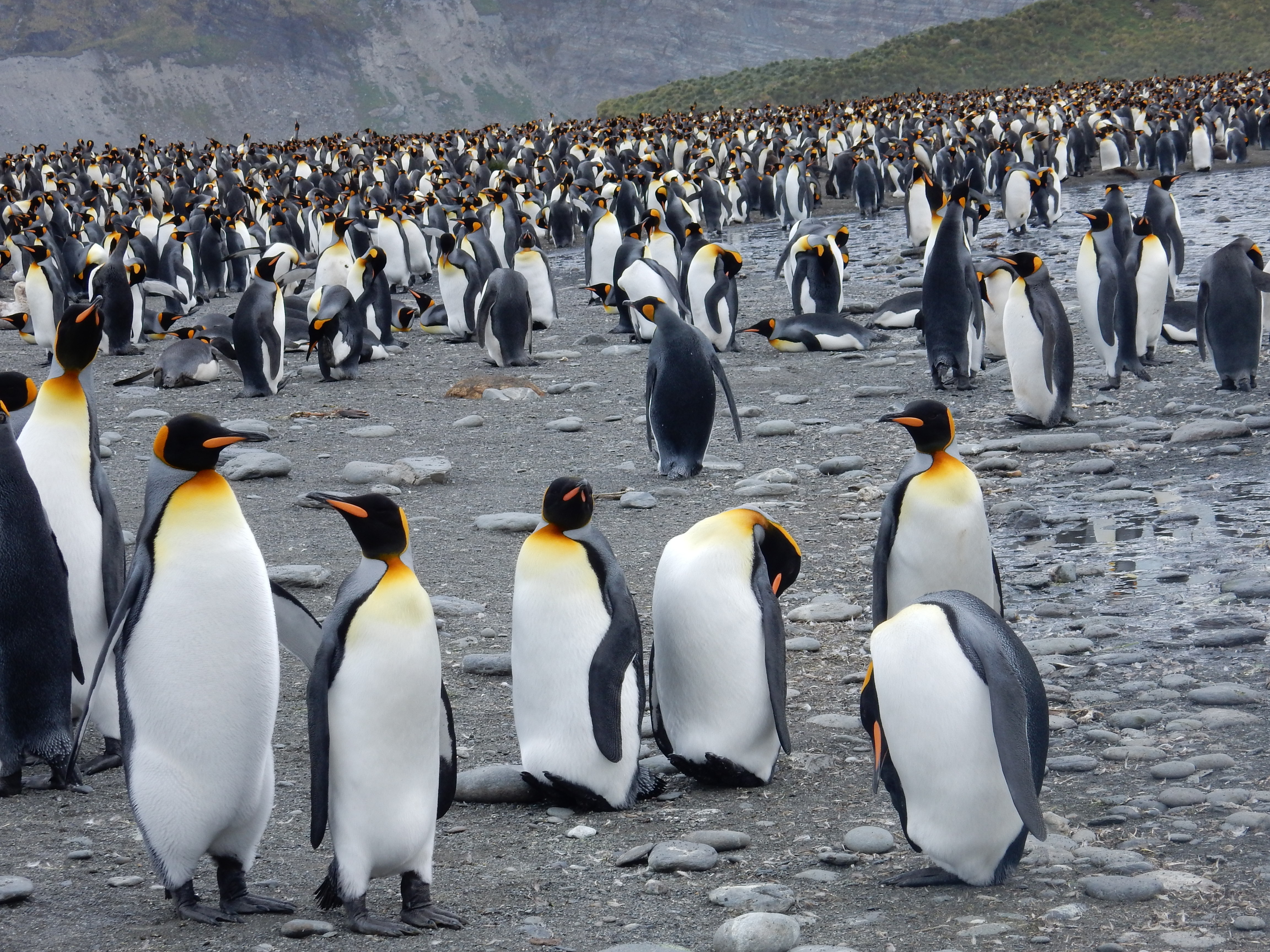
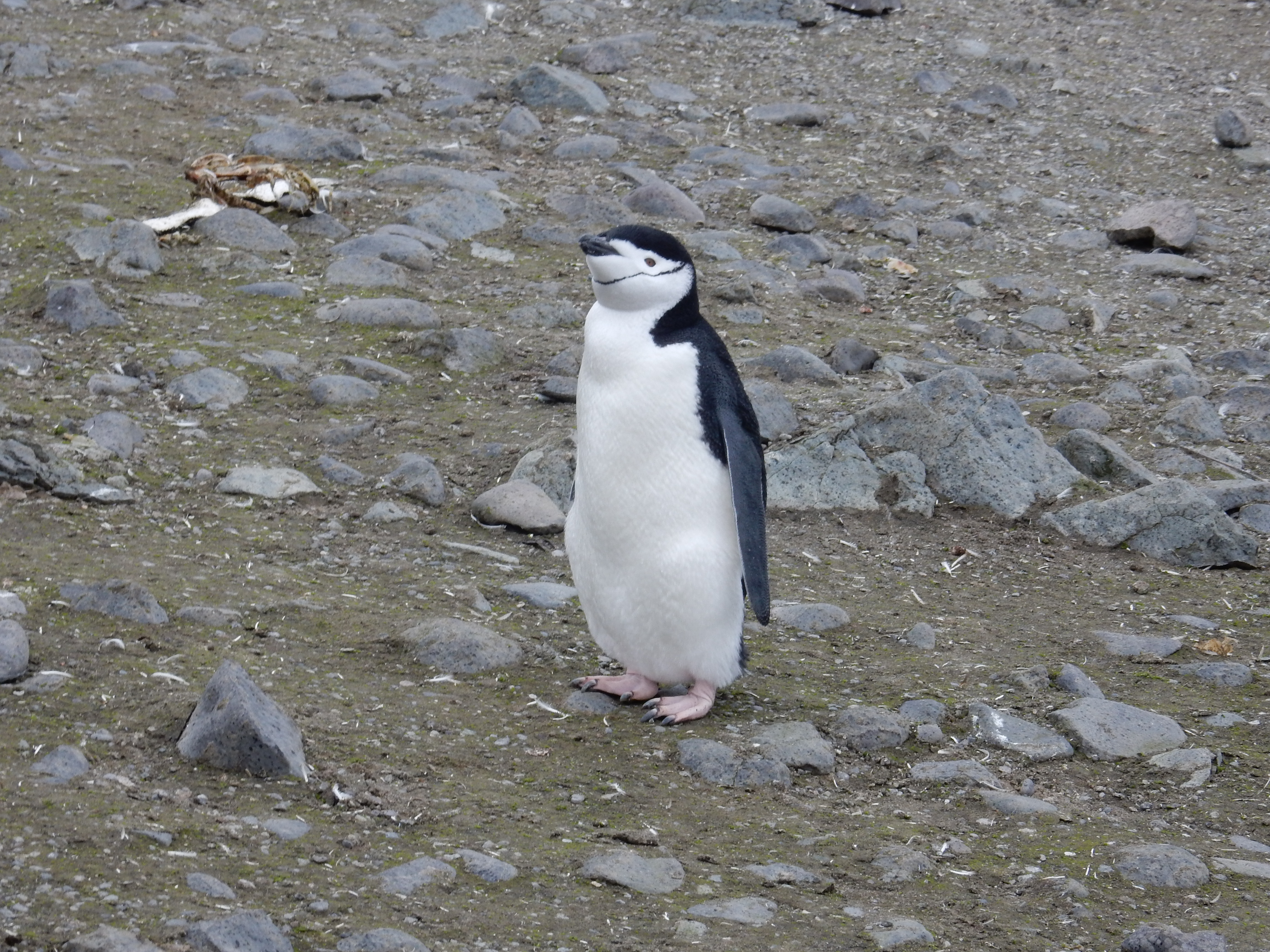
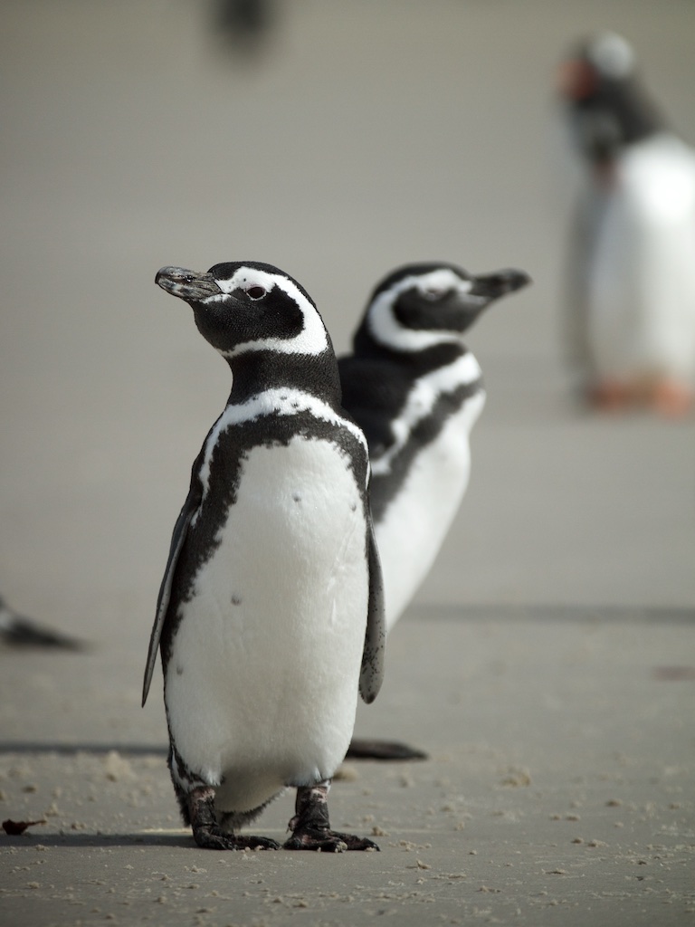
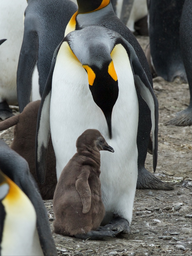
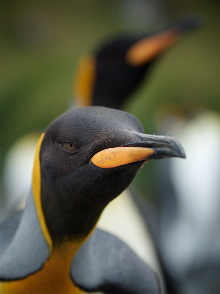
PENGUINS
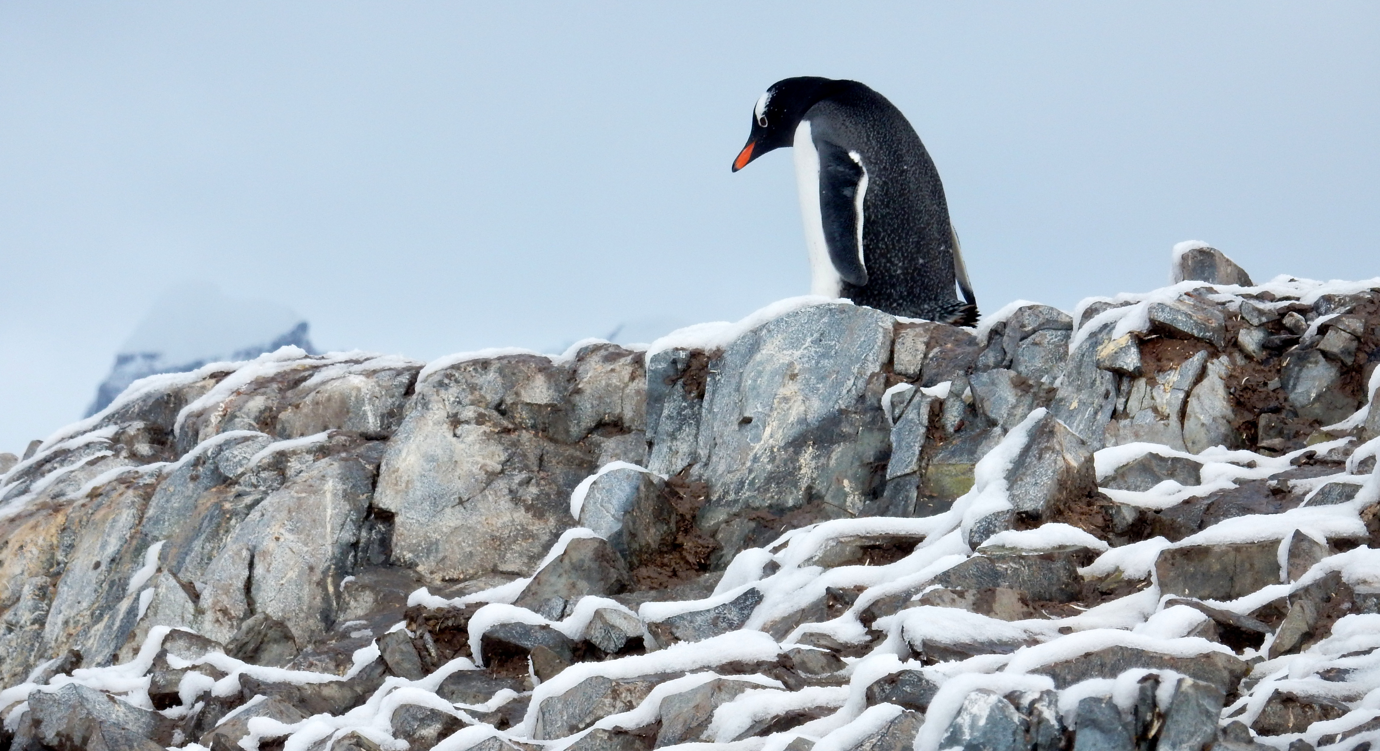
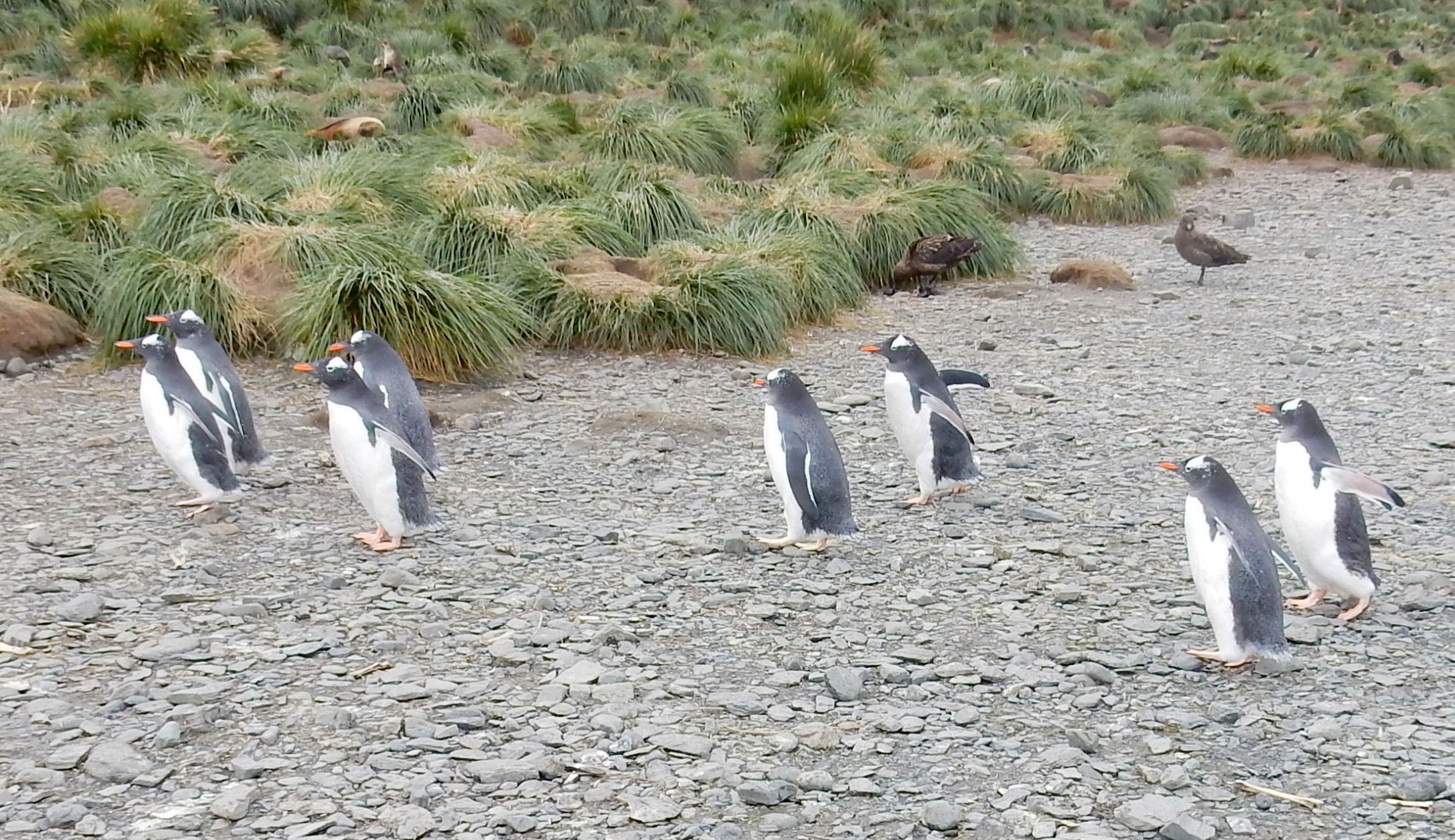
Gentoo
Chinstrap
Rockhopper
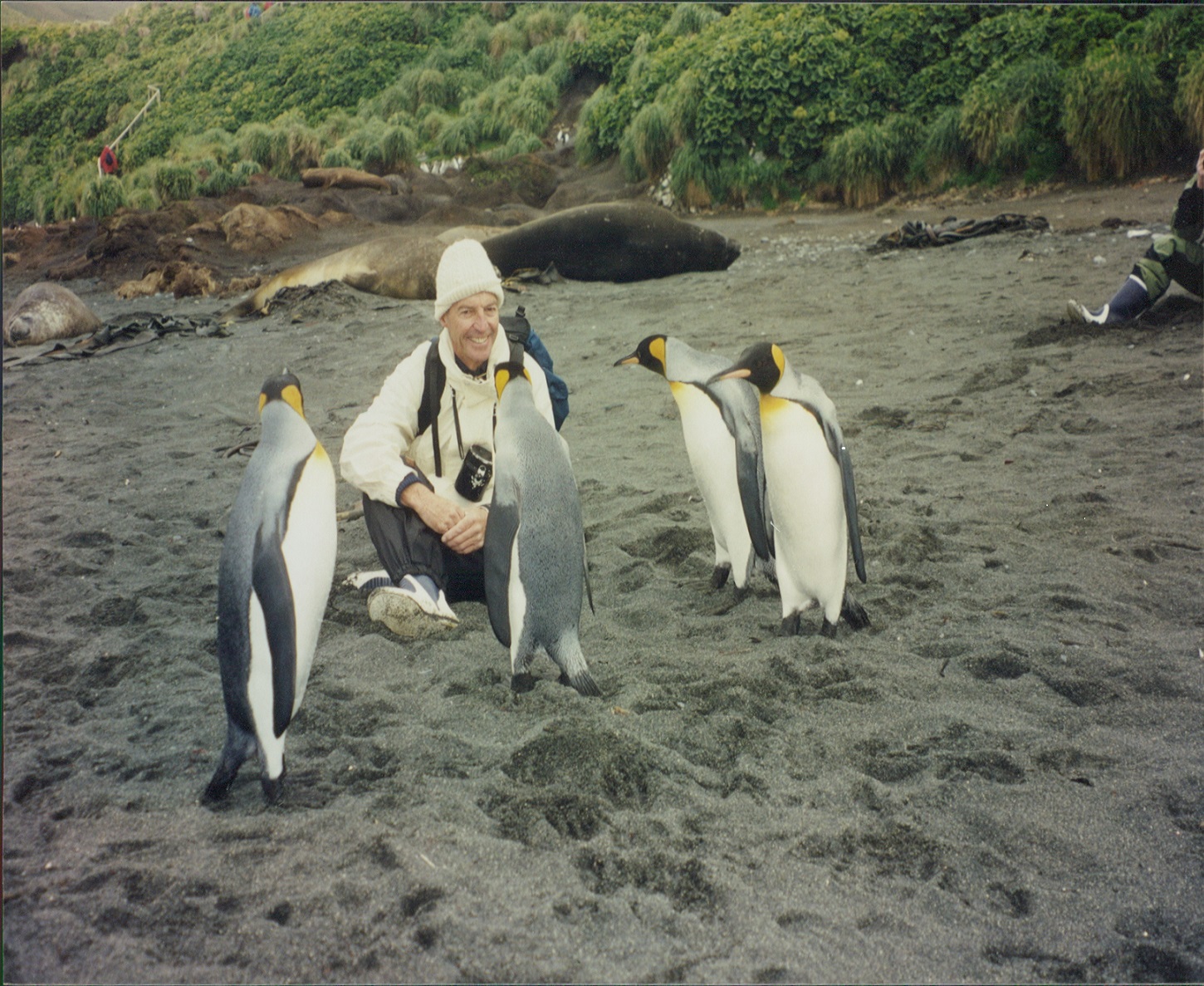
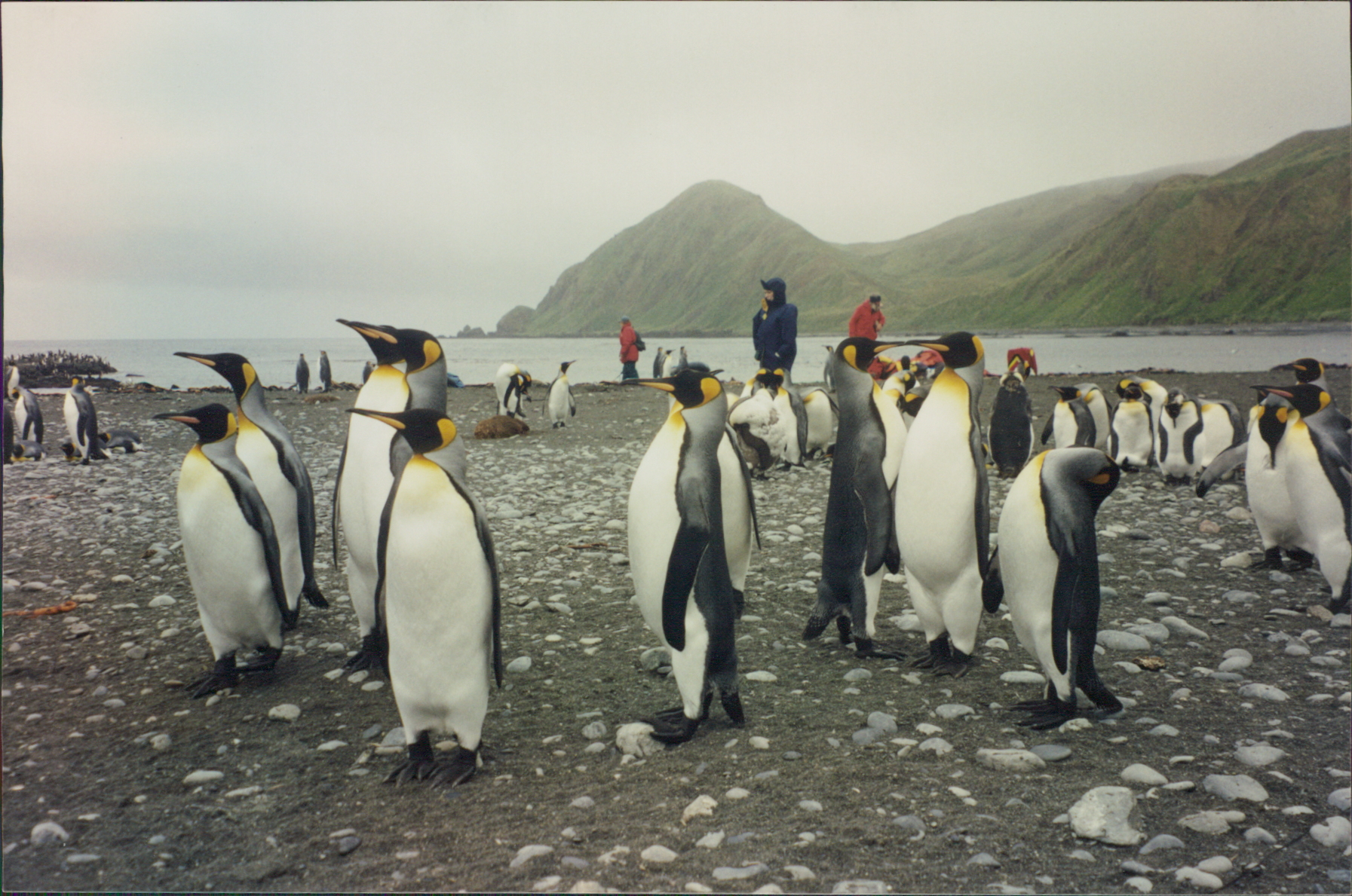
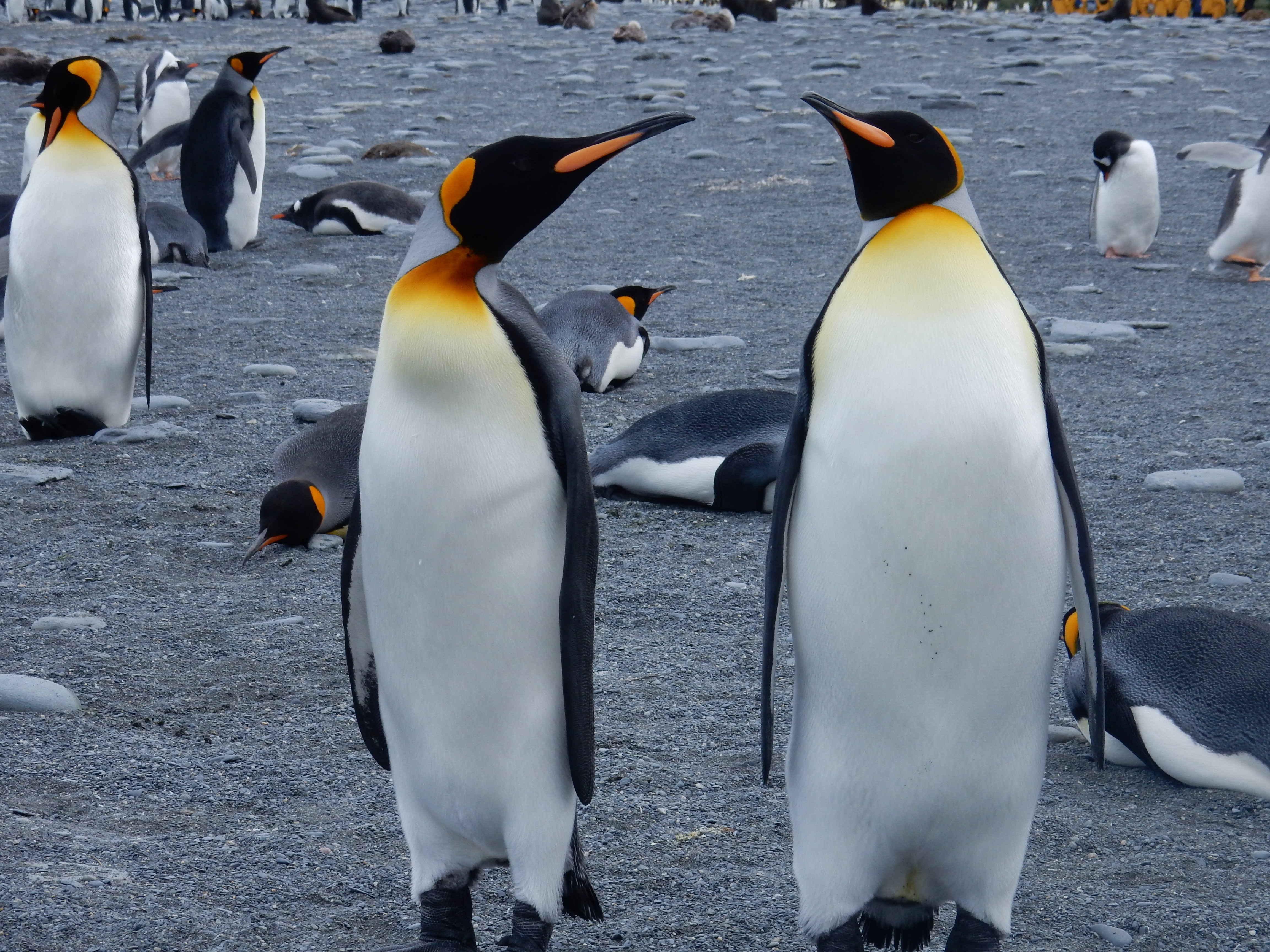
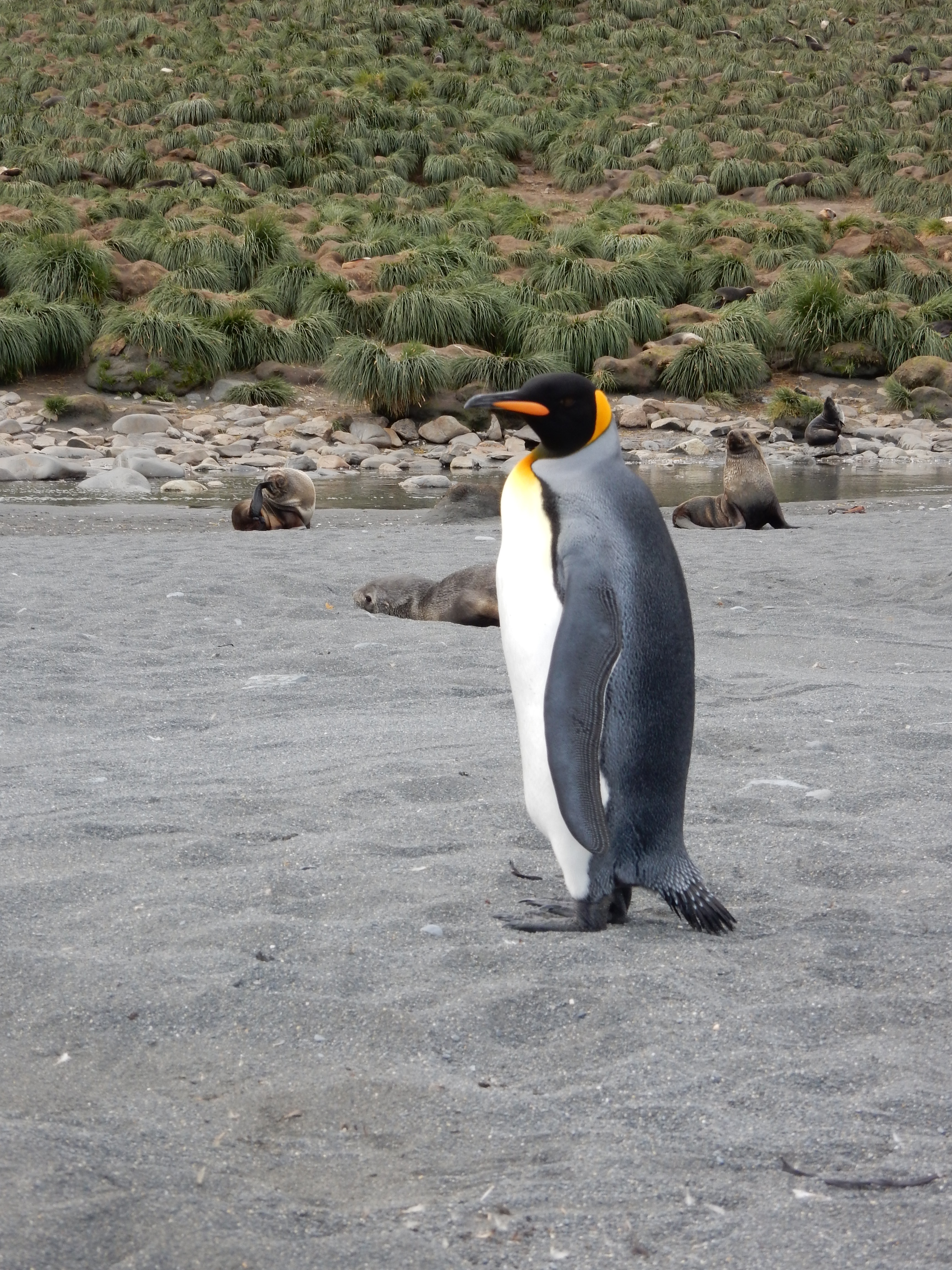
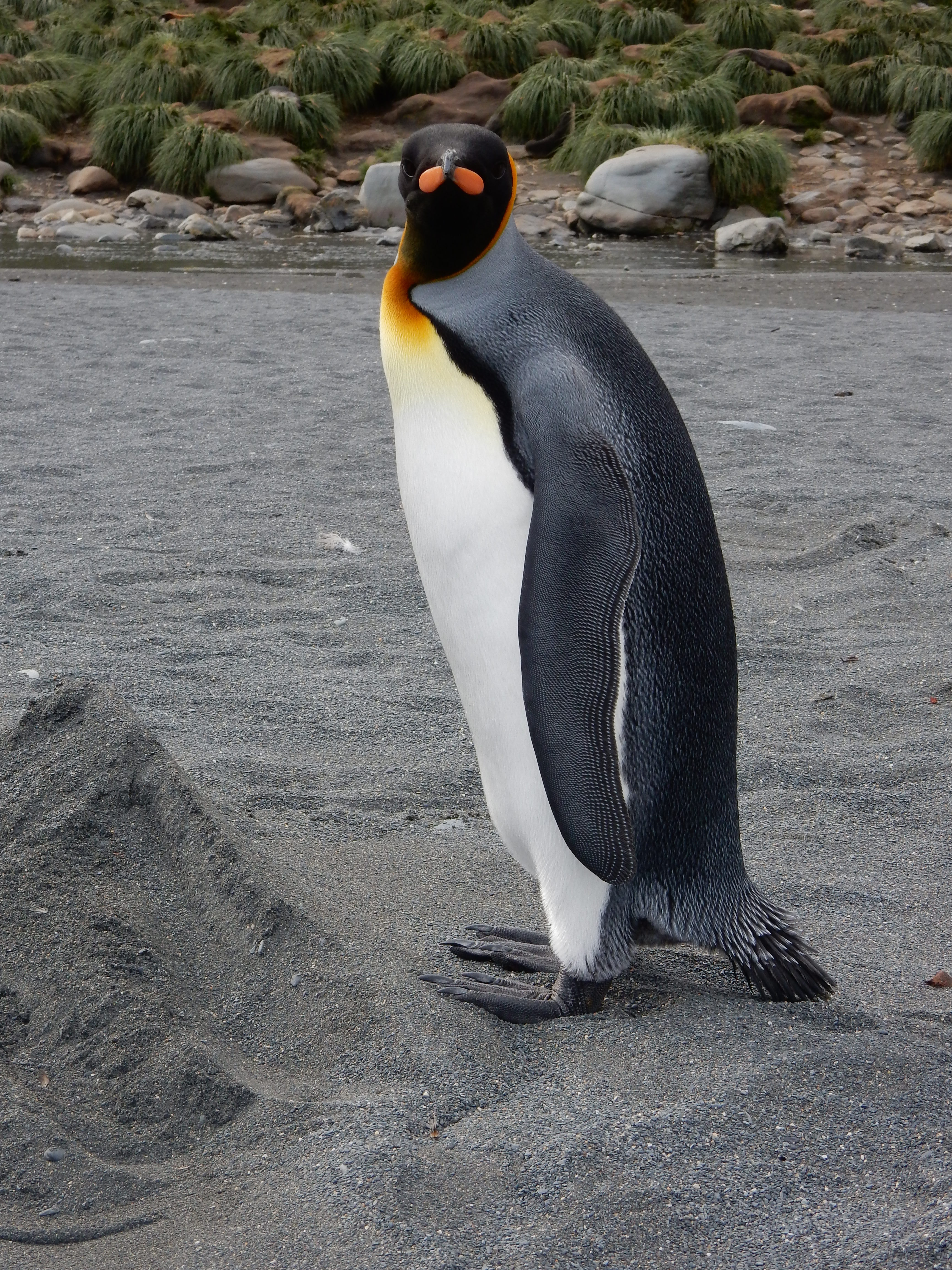
King
Magellanic
Maceroni
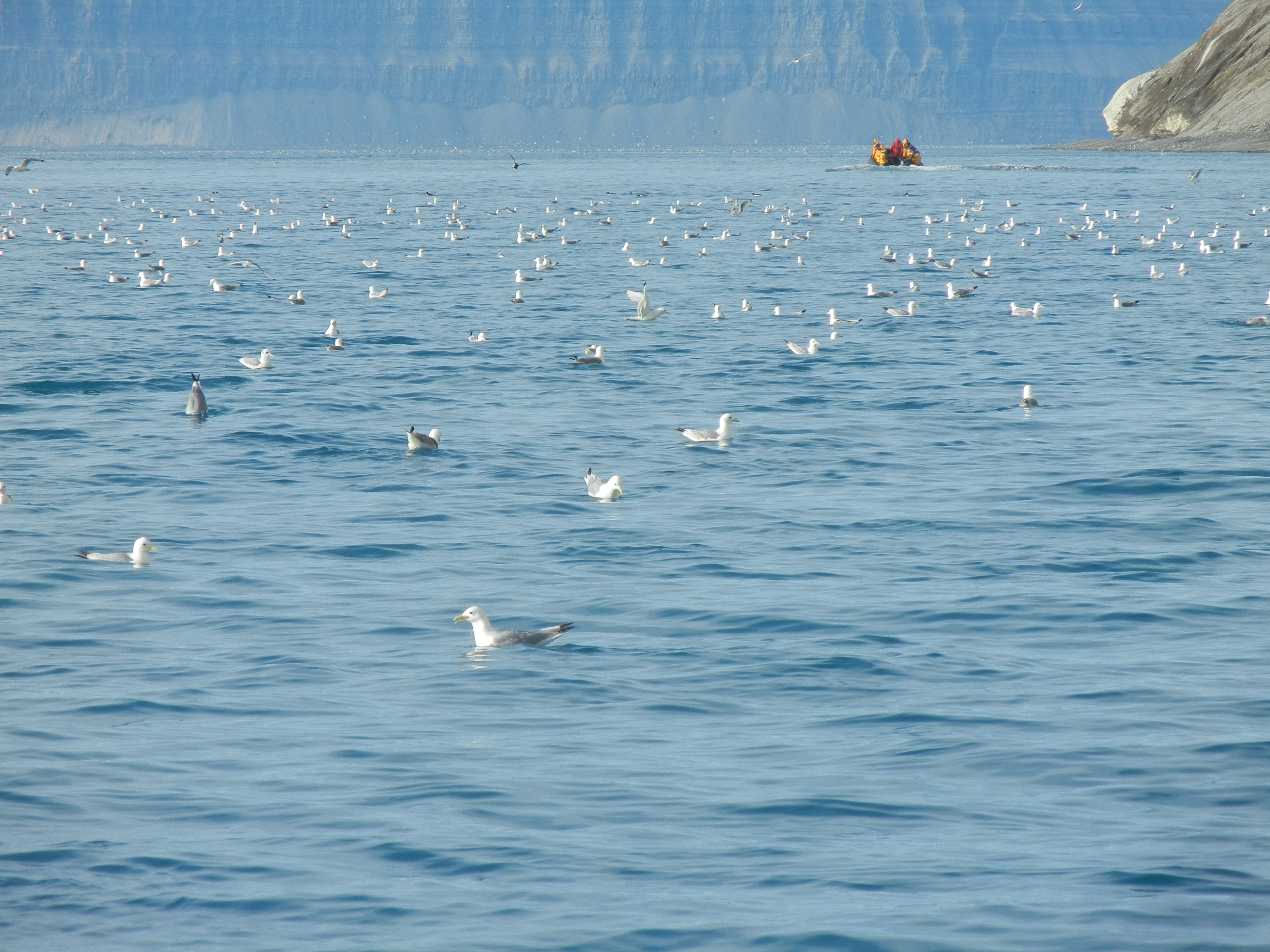
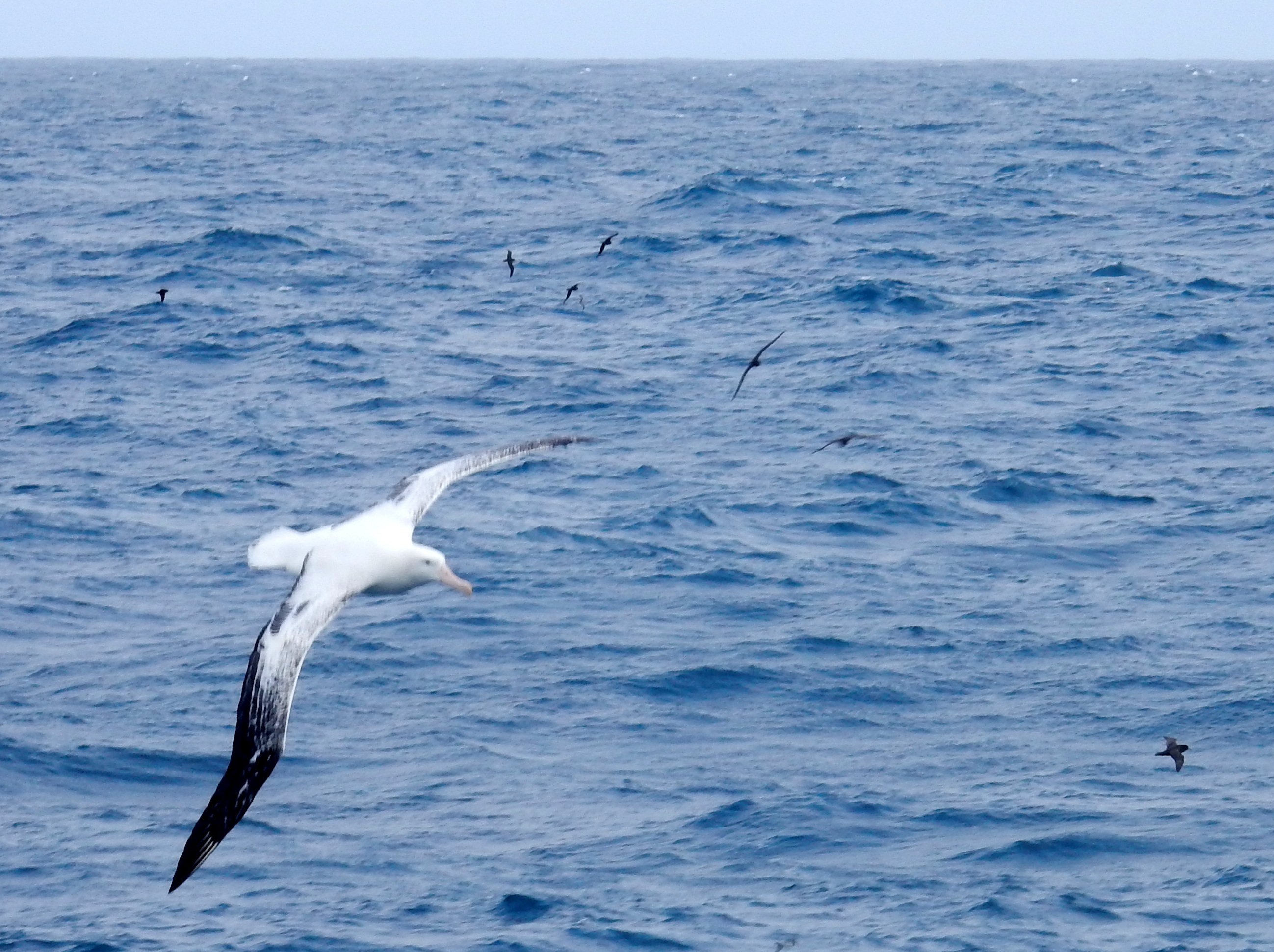
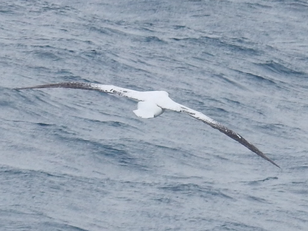
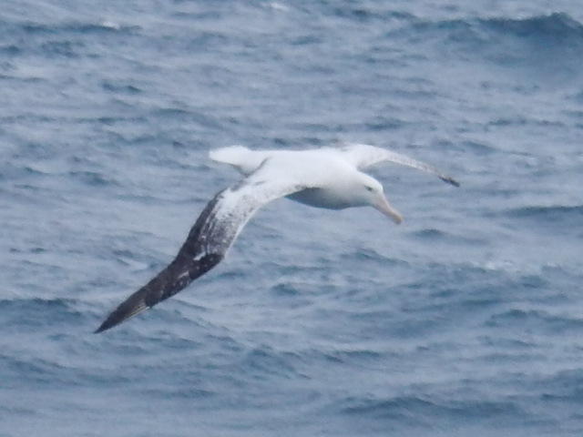
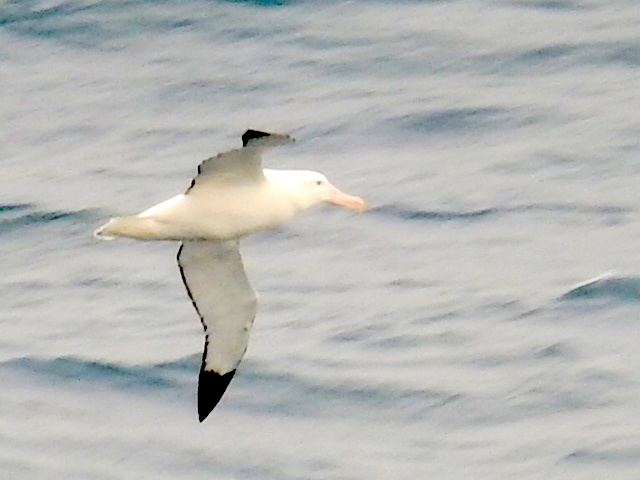
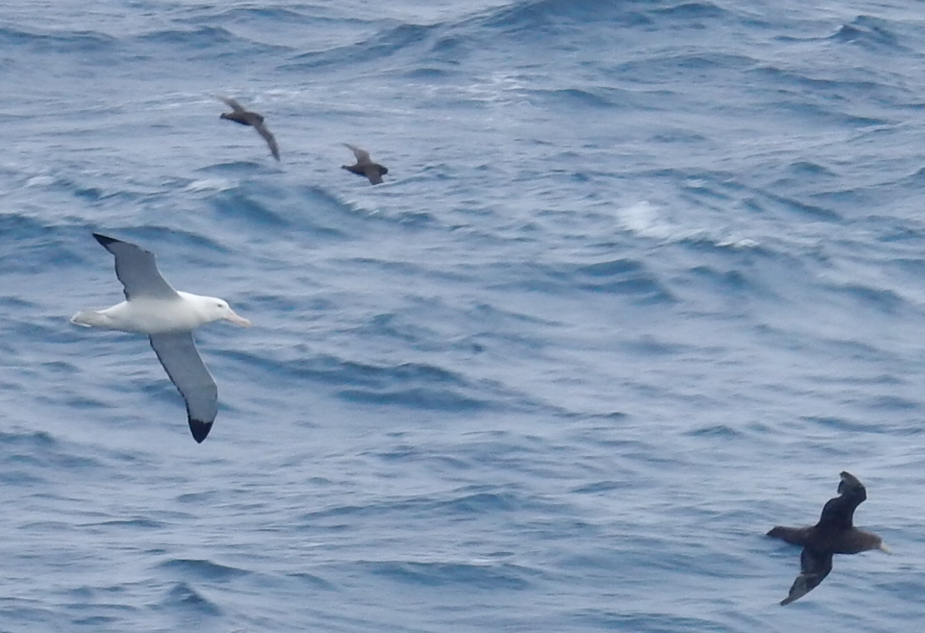
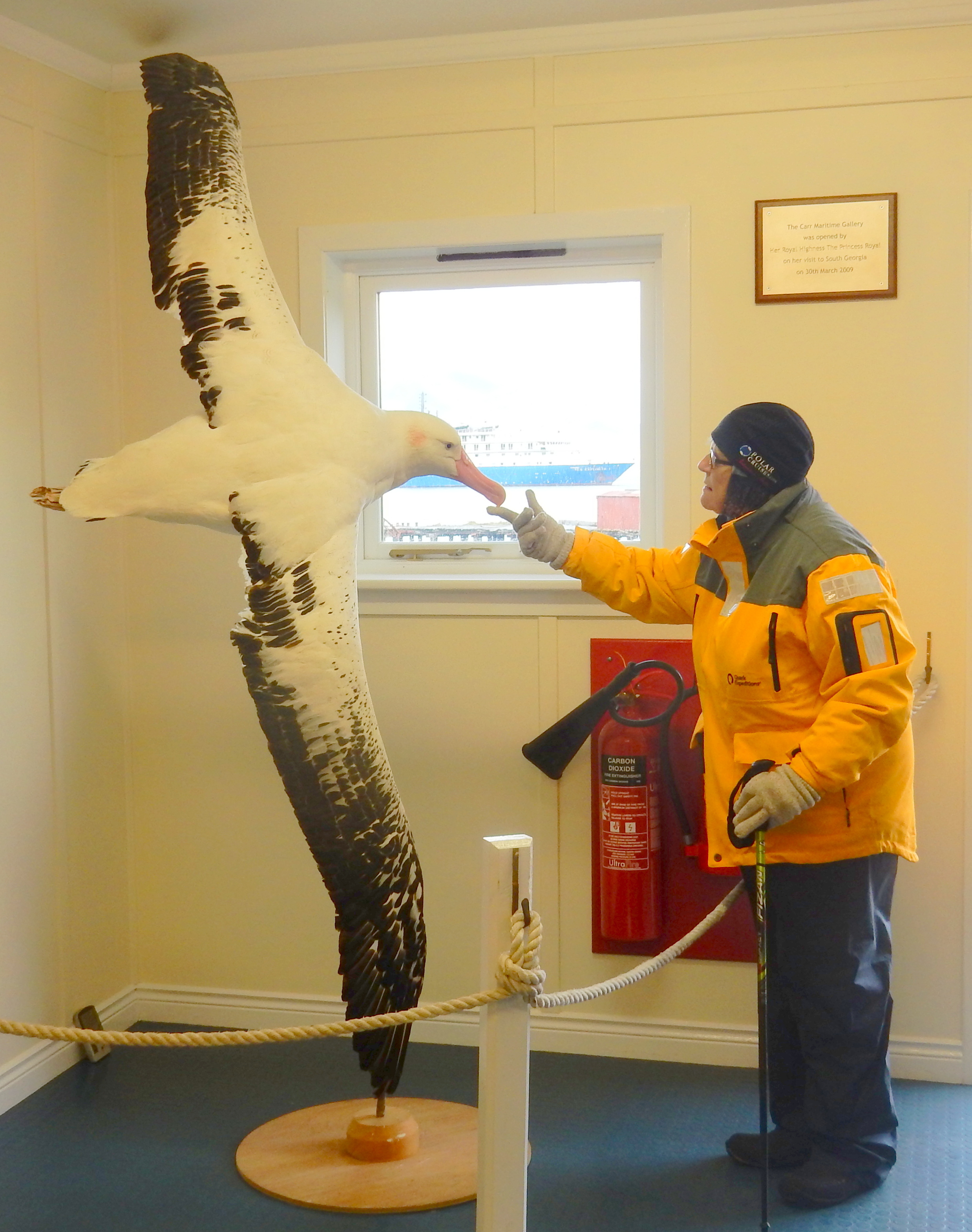
BIRDS
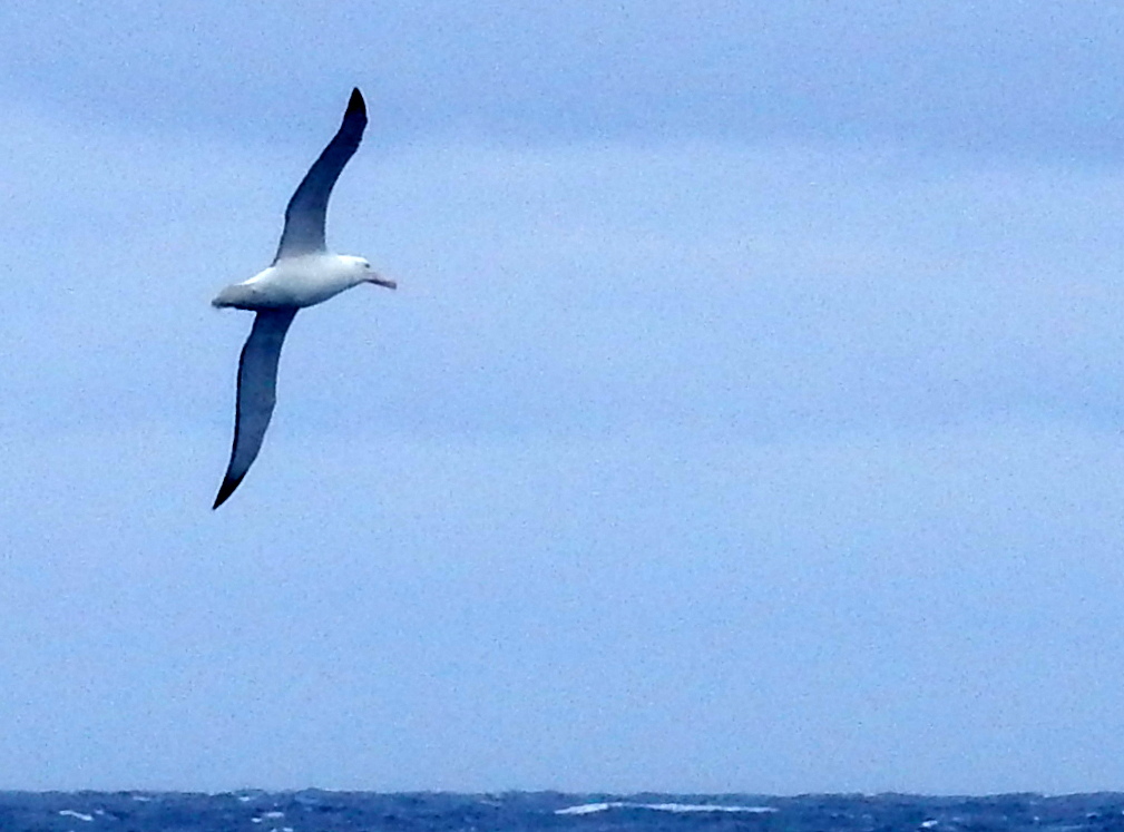
Wandering Albatross
Grey Headed Albatross
Black-browed Albatross
Southern Giant Petrel
Wilson.s Storm Petrel
Antarctic Prion
Brown Skua
Falkland Skua
Kelp Gull
Snowy Sheathbill
Antarctic Shag
Rock Shag
Turkey Vulture
Falkland Thrush
South Georgia Pipit
MAMMALS
South American Fur Seal
Antarctic Fur Seal
Crabeater Seal
Weddell Seal
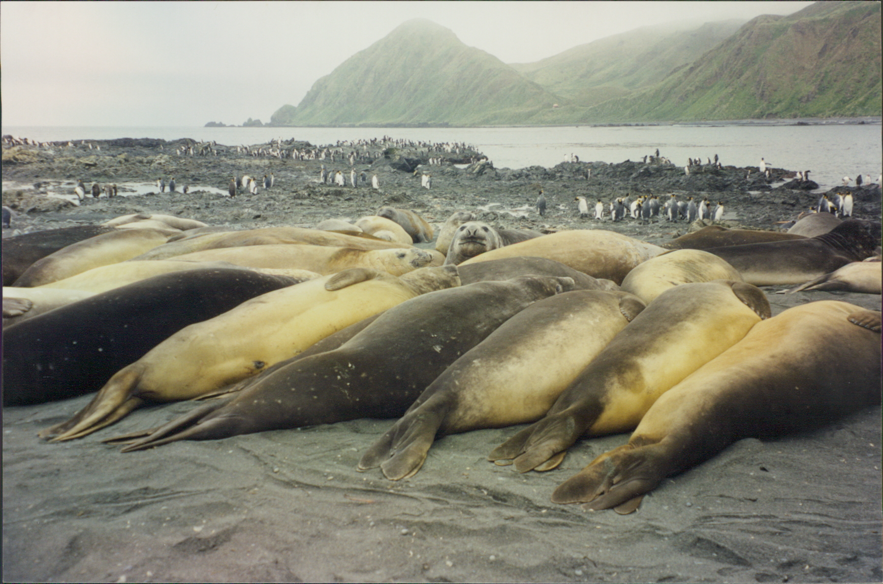
Southern Elephant Seal
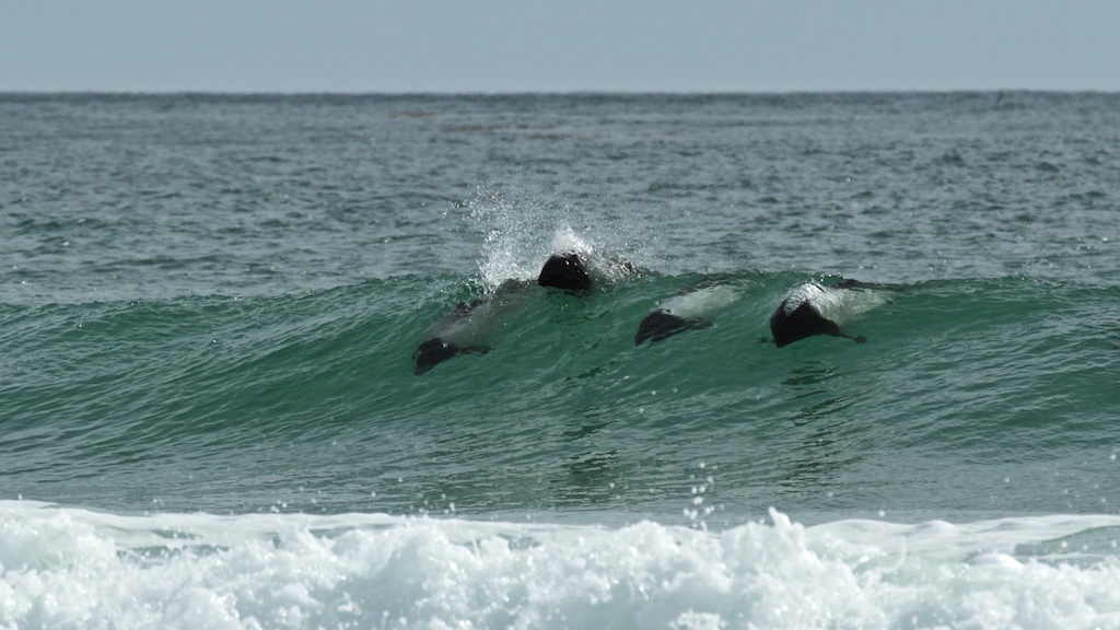
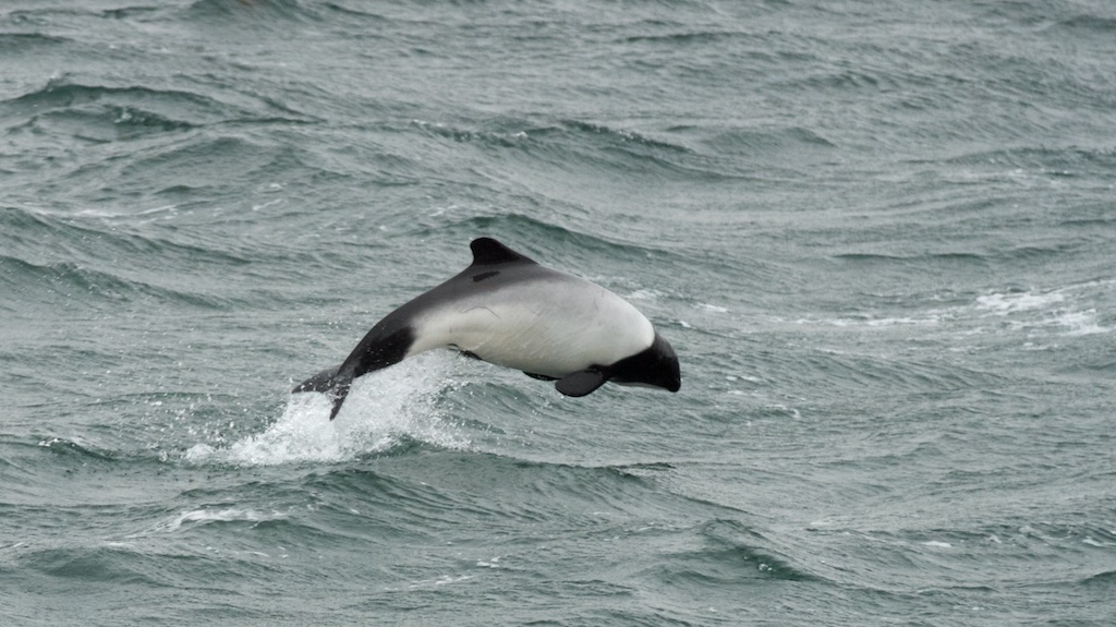
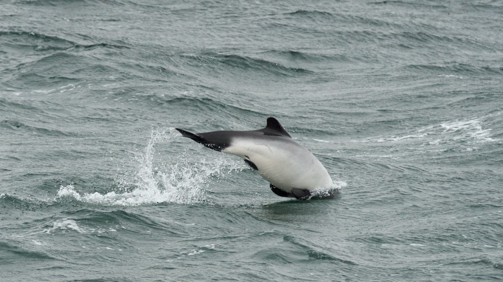
Commerson’s Dolphin
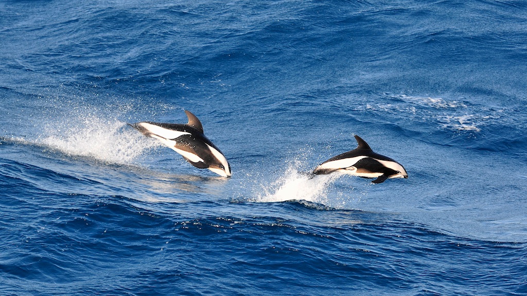
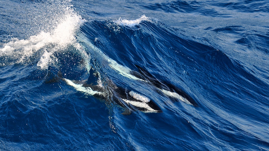
Hourglass Dolphin
Pearl’s Dolphin
Long-finned Pilot Whale
Killer Whale
Humpback Whale
Fin Whale
Set whale
The Falklands War – 1982
An Extract from the Daily Mail – Australia
A very dirty war: British soldiers shot dead by enemy troops waving the white flag and Argentinian prisoners bayoneted in cold blood. An ex-Para tells of the horrors of the Falklands
The Falklands War was short, sharp and very nasty. The fighting I experienced as a young soldier in the Parachute Regiment was, at times like something out of World War I. We fought at close quarters, clearing trenches of Argentinian troops with bayonets and grenades. Read more:
http://www.dailymail.co.uk/news/article-2110759/A-dirty-war-Life-Falkland-Islands-invasion.html